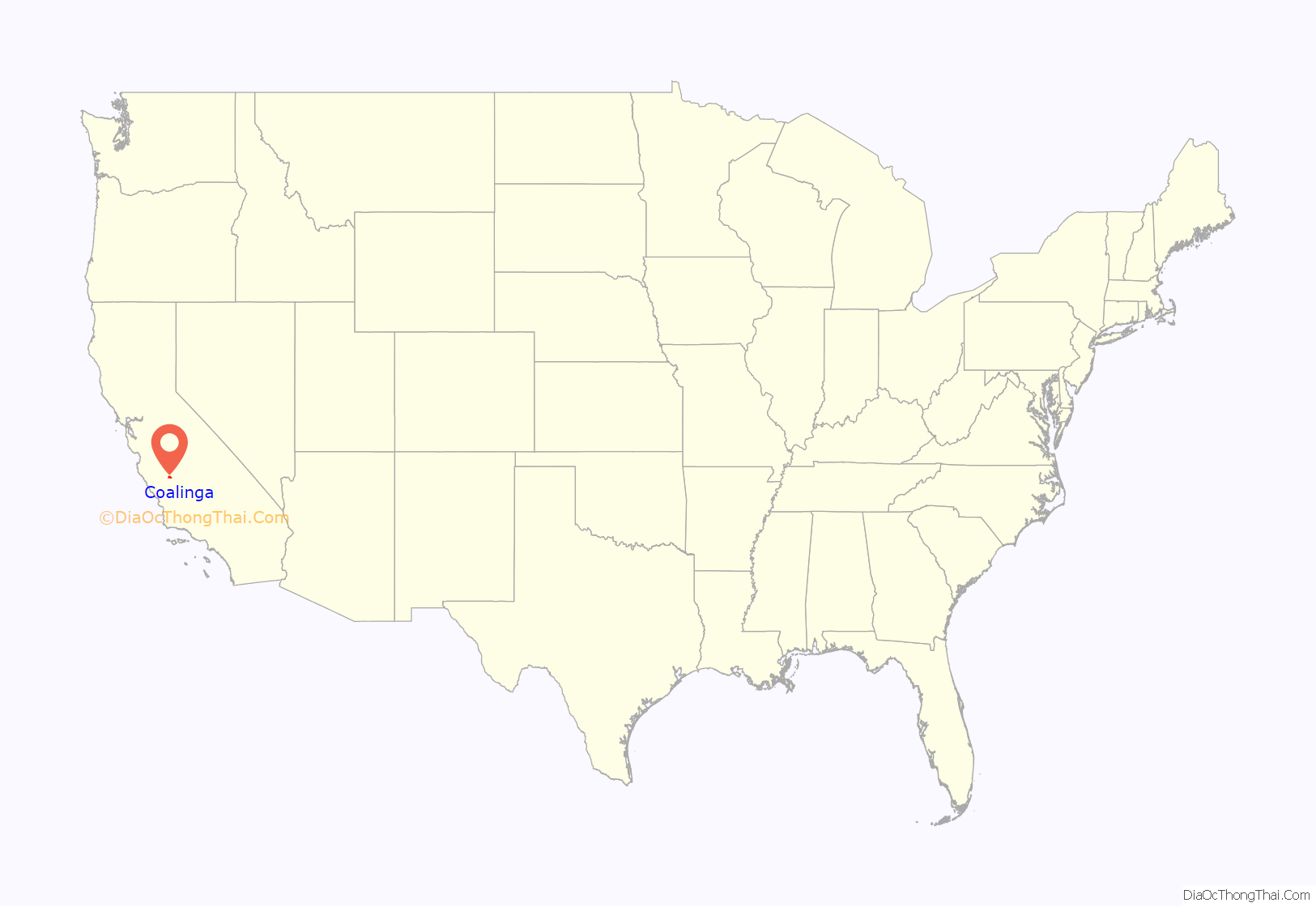
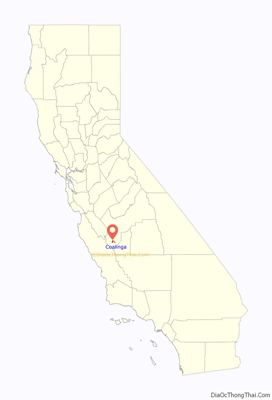
Coalinga (/ˌkoʊ.əˈlɪŋɡə/ or /kəˈlɪŋɡə/) is a city in Fresno County and the western San Joaquin Valley, in central California about 80 miles (128 km) southeast of Salinas.
It was formerly known as Coaling Station A, Coalingo, and Coalinga Station.
The population was 13,380 as of the 2010 census, up from 11,668 at the 2000 census. It is the site of both Pleasant Valley State Prison and Coalinga State Hospital.
| Name: | Coalinga city |
|---|---|
| LSAD Code: | 25 |
| LSAD Description: | city (suffix) |
| State: | California |
| County: | Fresno County |
| Incorporated: | April 3, 1906 |
| Elevation: | 673 ft (205 m) |
| Total Area: | 6.88 sq mi (17.81 km²) |
| Land Area: | 6.85 sq mi (17.73 km²) |
| Water Area: | 0.03 sq mi (0.08 km²) 0.50% |
| Total Population: | 17,590 |
| Population Density: | 2,569.01/sq mi (991.85/km²) |
| ZIP code: | 93210 |
| Area code: | 559 |
| FIPS code: | 0614274 |
| Website: | www.coalinga.com |
Online Interactive Map
Click on ![]() to view map in "full screen" mode.
to view map in "full screen" mode.
Coalinga location map. Where is Coalinga city?
History
19th century
Legendary bandit Joaquin Murrieta was killed in 1853 at his headquarters, Arroyo de Cantua, north of Coalinga. California Historical Landmark #344 marks the approximate site of where he was slain, near the junction of present-day State Route 33 and Route 198.
Before 20th-century diesel locomotives, steam locomotives were used, and powered in the San Joaquin Valley by burning coal mined from the northern foothills of Mount Diablo to the north. The Southern Pacific Railroad Company established the site as a coaling station in 1888, and it was called simply Coaling Station A. Local tradition has it that an official of Southern Pacific made the name more sonorous by adding an a to it. However, it is just as likely that the small railside signs of the day, which often abbreviated names, read “COALINGA” to mean “Coaling A.” [Another example is Braner’s Cut north of Eureka, whose sign said “BRACUT,” which has now become the name of that spot along Highway 101.] The resemblance to Nahuatl (where cōātl = “snake”) is accidental.
The first post office was established in 1899. The city was incorporated in 1906.
20th century
The town is mostly surrounded by the Coalinga oil field whose principal operator, Chevron, is a major employer in the area.
1983 earthquake
On May 2, 1983, Coalinga was struck by an earthquake with a moment magnitude of 6.5, which nearly destroyed more than 300 homes and apartment buildings; another 691 buildings suffered major damage, and hundreds more had minor damage. Damage was severe in downtown Coalinga; the eight-block commercial district was almost totally destroyed. The shock was felt as far away as Los Angeles and western Nevada, and was followed by a series of aftershocks that caused additional minor damage and some injuries. Only one death was reported: a man who succumbed to a heart attack.
2022 water shortage
In 2022, the city struggled to confront an acute water shortage. The city’s only water source is an aqueduct that is managed by the federal government. Officials estimate that the water is going to run dry before the end of 2022.
Coalinga Road Map
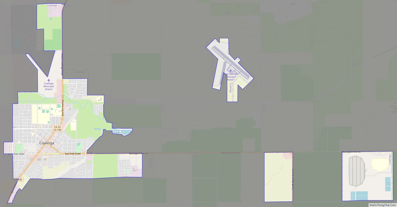
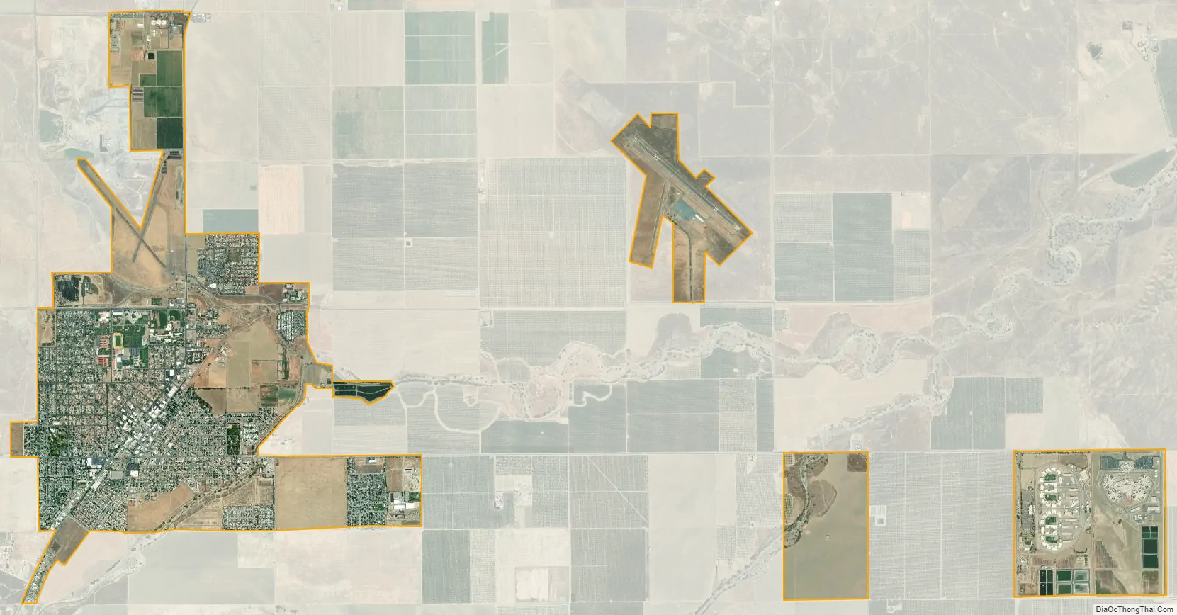
Coalinga city Satellite Map
Geography
Coalinga is located 52 miles (84 km) southwest of Fresno, at an elevation of 673 feet (205 m). The topography is generally level, suitable for a number of field crops which do not require large amounts of water. It is located near the eastern foothills of the Diablo Range.
Geology
Underlying rock formations include the occurrence of Vaqueros sandstone. Surrounding the town in a semicircle from the west, around the north, and to the east are several anticlinal formations containing considerable accumulations of petroleum as the Coalinga Oil Field, from which oil has been withdrawn for more than a hundred years.
The city is located near a particularly active portion of the San Andreas Fault, and earthquakes are frequent.
Climate
Coalinga has a cold semi-arid climate (BSk), with very hot summers and cool winters. Its hardiness zone is 9a. The average annual precipitation is 8.25 inches (210 mm), falling mainly from October to May.
See also
Map of California State and its subdivision:- Alameda
- Alpine
- Amador
- Butte
- Calaveras
- Colusa
- Contra Costa
- Del Norte
- El Dorado
- Fresno
- Glenn
- Humboldt
- Imperial
- Inyo
- Kern
- Kings
- Lake
- Lassen
- Los Angeles
- Madera
- Marin
- Mariposa
- Mendocino
- Merced
- Modoc
- Mono
- Monterey
- Napa
- Nevada
- Orange
- Placer
- Plumas
- Riverside
- Sacramento
- San Benito
- San Bernardino
- San Diego
- San Francisco
- San Joaquin
- San Luis Obispo
- San Mateo
- Santa Barbara
- Santa Clara
- Santa Cruz
- Shasta
- Sierra
- Siskiyou
- Solano
- Sonoma
- Stanislaus
- Sutter
- Tehama
- Trinity
- Tulare
- Tuolumne
- Ventura
- Yolo
- Yuba
- Alabama
- Alaska
- Arizona
- Arkansas
- California
- Colorado
- Connecticut
- Delaware
- District of Columbia
- Florida
- Georgia
- Hawaii
- Idaho
- Illinois
- Indiana
- Iowa
- Kansas
- Kentucky
- Louisiana
- Maine
- Maryland
- Massachusetts
- Michigan
- Minnesota
- Mississippi
- Missouri
- Montana
- Nebraska
- Nevada
- New Hampshire
- New Jersey
- New Mexico
- New York
- North Carolina
- North Dakota
- Ohio
- Oklahoma
- Oregon
- Pennsylvania
- Rhode Island
- South Carolina
- South Dakota
- Tennessee
- Texas
- Utah
- Vermont
- Virginia
- Washington
- West Virginia
- Wisconsin
- Wyoming


