Inyokern (formerly Siding 16 and Magnolia) is a census-designated place (CDP) in Kern County, California, United States. Its name derives from its location near the border between Inyo and Kern Counties. Inyokern is located 8 miles (13 km) west of Ridgecrest, at an elevation of 2,434 feet (742 m). It is on the western side of the Indian Wells Valley. The population was 988 in the 2020 census, down from 1,099 in the 2010 census. It was a railroad town established along the Southern Pacific railroad’s Lone Pine Branch (now removed) and with WWII became site of the Naval Air Weapons Station China Lake.
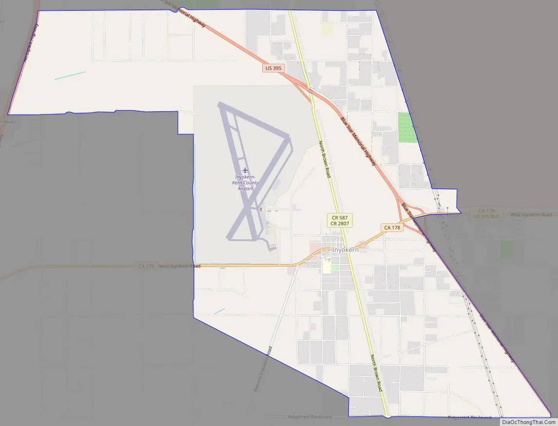
It is served by Inyokern Airport.
| Name: | Inyokern CDP |
|---|---|
| LSAD Code: | 57 |
| LSAD Description: | CDP (suffix) |
| State: | California |
| County: | Kern County |
| Elevation: | 2,434 ft (742 m) |
| Total Area: | 10.918 sq mi (28.279 km²) |
| Land Area: | 10.917 sq mi (28.276 km²) |
| Water Area: | 0.001 sq mi (0.003 km²) 0.01% |
| Total Population: | 988 |
| Population Density: | 90/sq mi (35/km²) |
| ZIP code: | 93527 |
| FIPS code: | 0636658 |
Online Interactive Map
Click on ![]() to view map in "full screen" mode.
to view map in "full screen" mode.
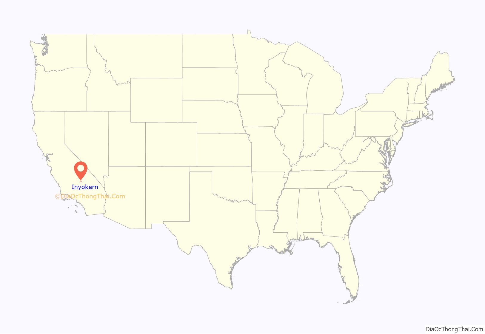
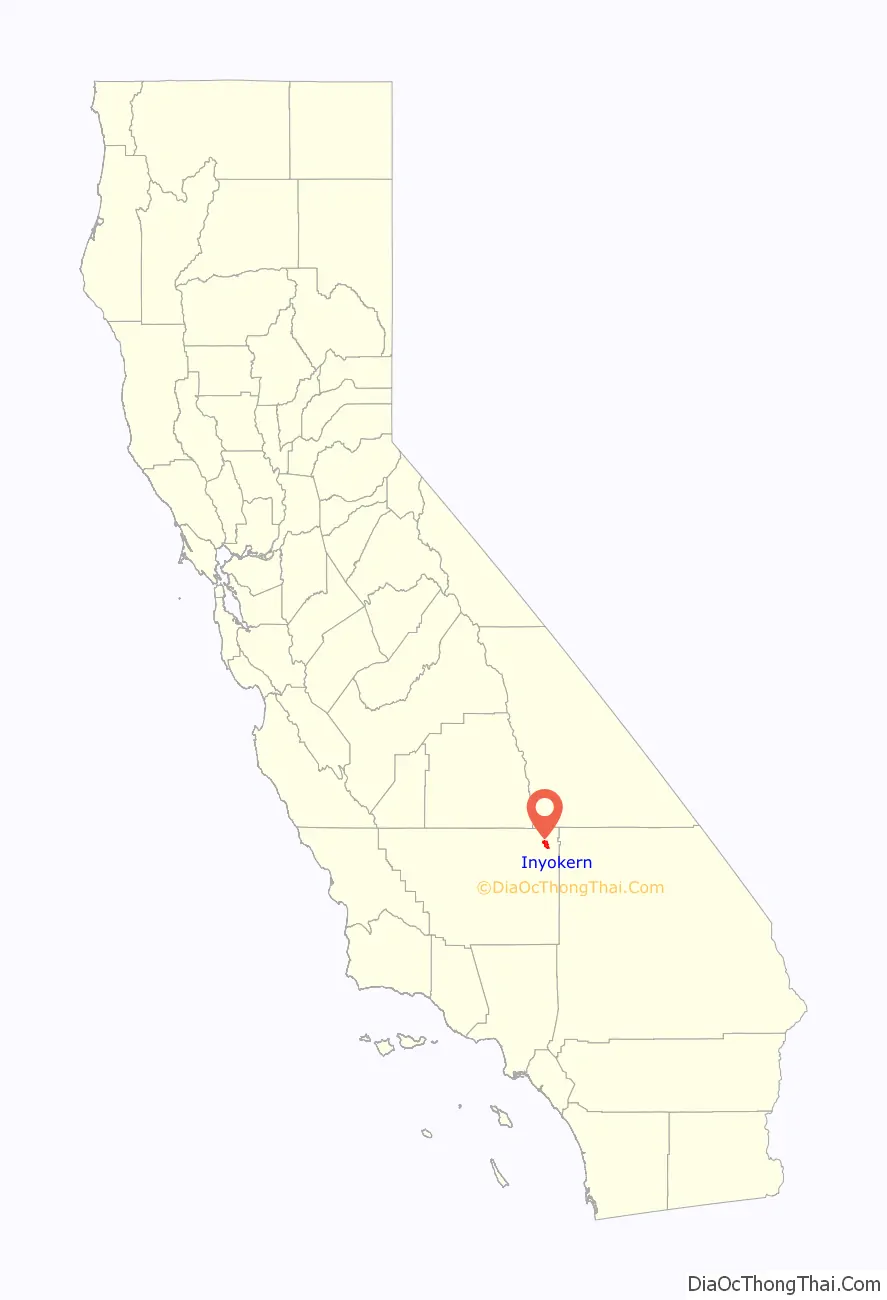
Inyokern location map. Where is Inyokern CDP?
History
Inyokern was founded in the mid-19th century as an agrarian community located in the northernmost corner of the Mojave Desert. It expanded during construction of the Owens Valley aqueduct. The first post office opened in 1910.
The Inyokern Elementary School was founded in 1913. The original building was replaced in the mid-1930s by a larger building with a stage and indoor restrooms. This building was demolished in the early 1970s. In the 1930s, half a dozen irrigated farms were scattered around Indian Wells Valley, growing mostly alfalfa and livestock. Community events were held in Inyokern Hall, which still stands.
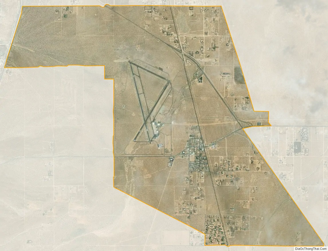
With the onset of World War II, the US Navy located its new Naval Air Weapons Station China Lake in Inyokern. This accounts for the length of the runways and the size of the county airport. The military base was subsequently moved to the east 12 miles (19 km) and the city of Ridgecrest was established as a commercial support center for that base.
Inyokern Road Map
Inyokern city Satellite Map
Geography
Inyokern is located at 35°38′49″N 117°48′45″W / 35.64694°N 117.81250°W / 35.64694; -117.81250 about 8 miles (13 km) west of Ridgecrest, at an elevation of 2,434 feet (742 m). It is on the western side of the Indian Wells Valley, with the eastern slopes of the Sierra Nevada rising to the west.
It is on U.S. Route 395, the main north–south artery connecting the Inland Empire to Reno, Nevada. US 395 also connects Inyokern to Los Angeles via State Route 14 through Palmdale.
State Route 178, the main east–west artery, connects Inyokern to Bakersfield, the county seat, via Lake Isabella in the west, and to Death Valley via Ridgecrest in the east.
According to the United States Census Bureau, the CDP has a total area of 10.9 square miles (28 km), over 99% of it land.
See also
Map of California State and its subdivision:- Alameda
- Alpine
- Amador
- Butte
- Calaveras
- Colusa
- Contra Costa
- Del Norte
- El Dorado
- Fresno
- Glenn
- Humboldt
- Imperial
- Inyo
- Kern
- Kings
- Lake
- Lassen
- Los Angeles
- Madera
- Marin
- Mariposa
- Mendocino
- Merced
- Modoc
- Mono
- Monterey
- Napa
- Nevada
- Orange
- Placer
- Plumas
- Riverside
- Sacramento
- San Benito
- San Bernardino
- San Diego
- San Francisco
- San Joaquin
- San Luis Obispo
- San Mateo
- Santa Barbara
- Santa Clara
- Santa Cruz
- Shasta
- Sierra
- Siskiyou
- Solano
- Sonoma
- Stanislaus
- Sutter
- Tehama
- Trinity
- Tulare
- Tuolumne
- Ventura
- Yolo
- Yuba
- Alabama
- Alaska
- Arizona
- Arkansas
- California
- Colorado
- Connecticut
- Delaware
- District of Columbia
- Florida
- Georgia
- Hawaii
- Idaho
- Illinois
- Indiana
- Iowa
- Kansas
- Kentucky
- Louisiana
- Maine
- Maryland
- Massachusetts
- Michigan
- Minnesota
- Mississippi
- Missouri
- Montana
- Nebraska
- Nevada
- New Hampshire
- New Jersey
- New Mexico
- New York
- North Carolina
- North Dakota
- Ohio
- Oklahoma
- Oregon
- Pennsylvania
- Rhode Island
- South Carolina
- South Dakota
- Tennessee
- Texas
- Utah
- Vermont
- Virginia
- Washington
- West Virginia
- Wisconsin
- Wyoming


