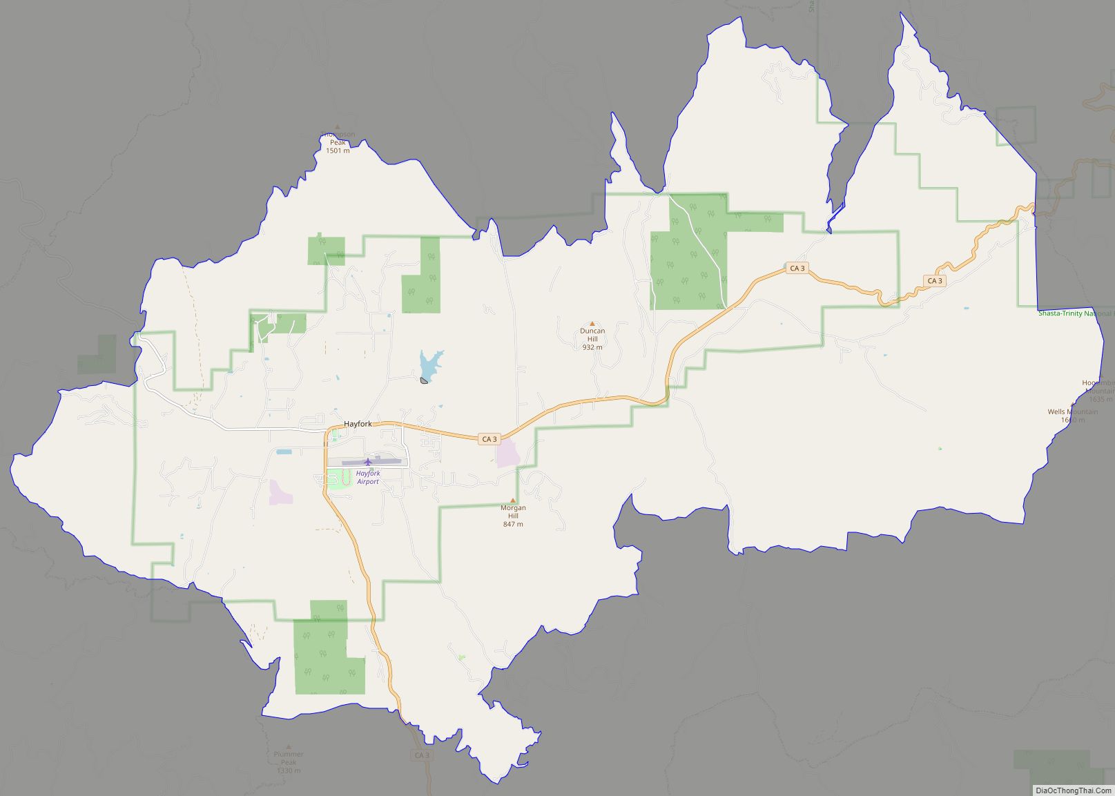
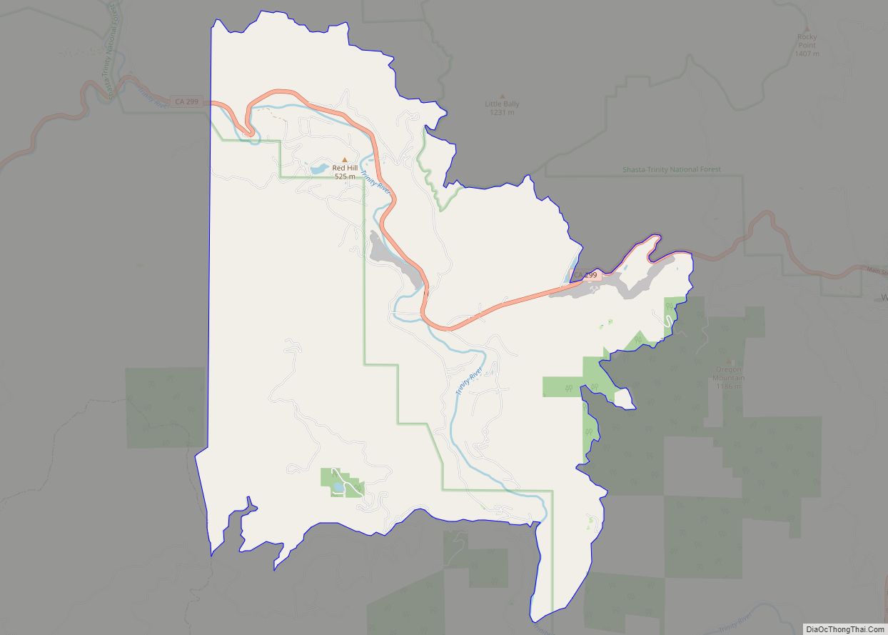
Junction City is a census-designated place (CDP) in Trinity County, California. Junction City sits at an elevation of 1,909 feet (582 m). Its population is 658 as of the 2020 census, down from 680 from the 2010 census. Junction City is located 8 miles (13 km) west of Weaverville. The Trinity River runs through the town and heads northwest from there. The ZIP Code is 96048. The community is inside area code 530.
| Name: | Junction City CDP |
|---|---|
| LSAD Code: | 57 |
| LSAD Description: | CDP (suffix) |
| State: | California |
| County: | Trinity County |
| Elevation: | 1,909 ft (582 m) |
| Total Area: | 27.949 sq mi (72.388 km²) |
| Land Area: | 27.904 sq mi (72.272 km²) |
| Water Area: | 0.045 sq mi (0.116 km²) 0.16% |
| Total Population: | 658 |
| Population Density: | 24/sq mi (9.1/km²) |
| ZIP code: | 96048 |
| Area code: | 530 |
| FIPS code: | 0637596 |
| GNISfeature ID: | 2583043 |
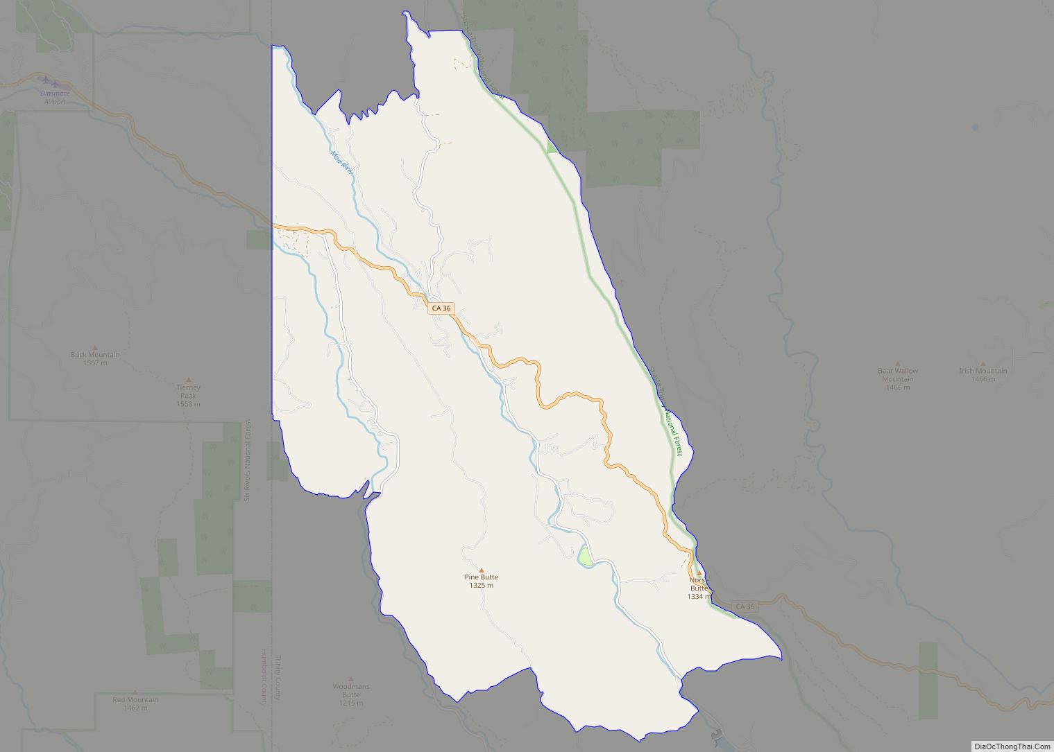
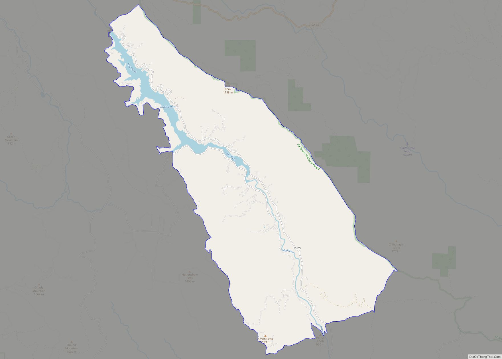
Online Interactive Map
Click on ![]() to view map in "full screen" mode.
to view map in "full screen" mode.
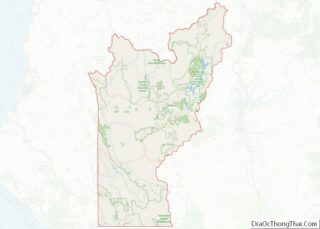
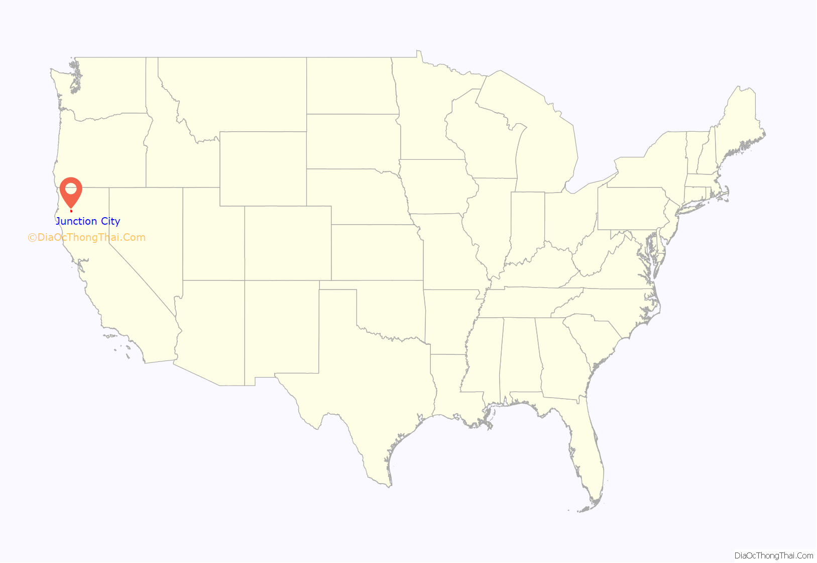
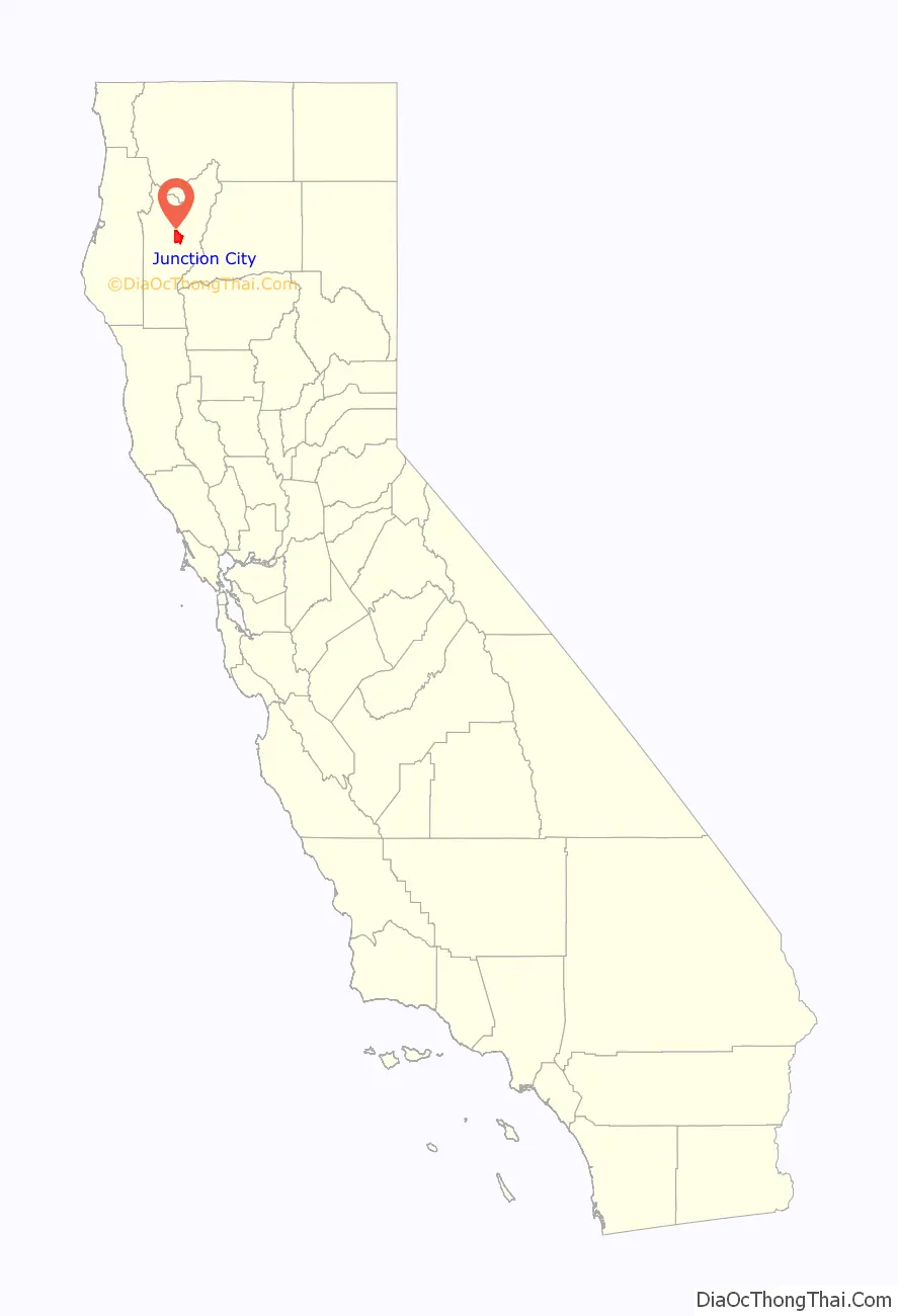
Junction City location map. Where is Junction City CDP?
History
Junction City was established when a few cabins were built in the 1850s at the mouth of Canyon Creek, it was originally called “Milltown” due to the number of mills, but in 1861 it was officially named Junction City since it served as a junction for several transportation routes at Canyon Creek and Trinity River.
Junction City had the largest and most famous diversion dam. The Arkansas Dam, was built in 1851, four miles upstream of Junction City. After the dam washed out in the winter of 1851 and again in 1852, it was rebuilt so substantially as to withstand not only the winter storms but also contain an upstream dam break flood that occurred when the 14-foot-high diversion dam at Union bar gave way.
The ensuing flood wiped out every water wheel, dam, and other structures along the river in the intervening 20 miles between the dams. In 1857, Arkansas dam was removed by the miners so they could reach the gold deposits beneath the dam.
In 1988, a Tibetan Buddhist temple, Rigdzin Ling, part of the Chagdud Gonpa Foundation founded by Chagdud Tulku Rinpoche. [1]
In the May 8th, 2005 the hotel burned down under mysterious circumstances. It was one of the last remaining buildings in Junction City from the 1800s. In May 2006, the Junction Fire scorched 3,500 acres (14 km), then later combined with the Bar Fire, making that 100,000 acres (400 km). The Junction Fire threatened all of Junction City, and even some parts of the town of Weaverville.
On July 20, 2008 fire threatened communities near Junction City; some areas were under mandatory evacuation. Many huge forest fires broke out because of a lightning storm which occurred on June 20, 2008 in Northern California.
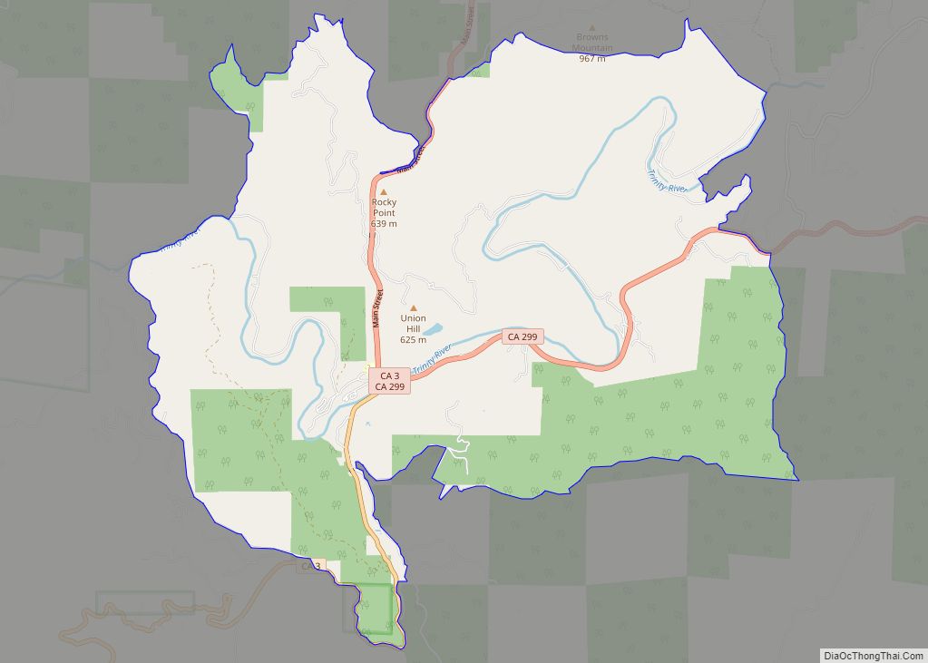
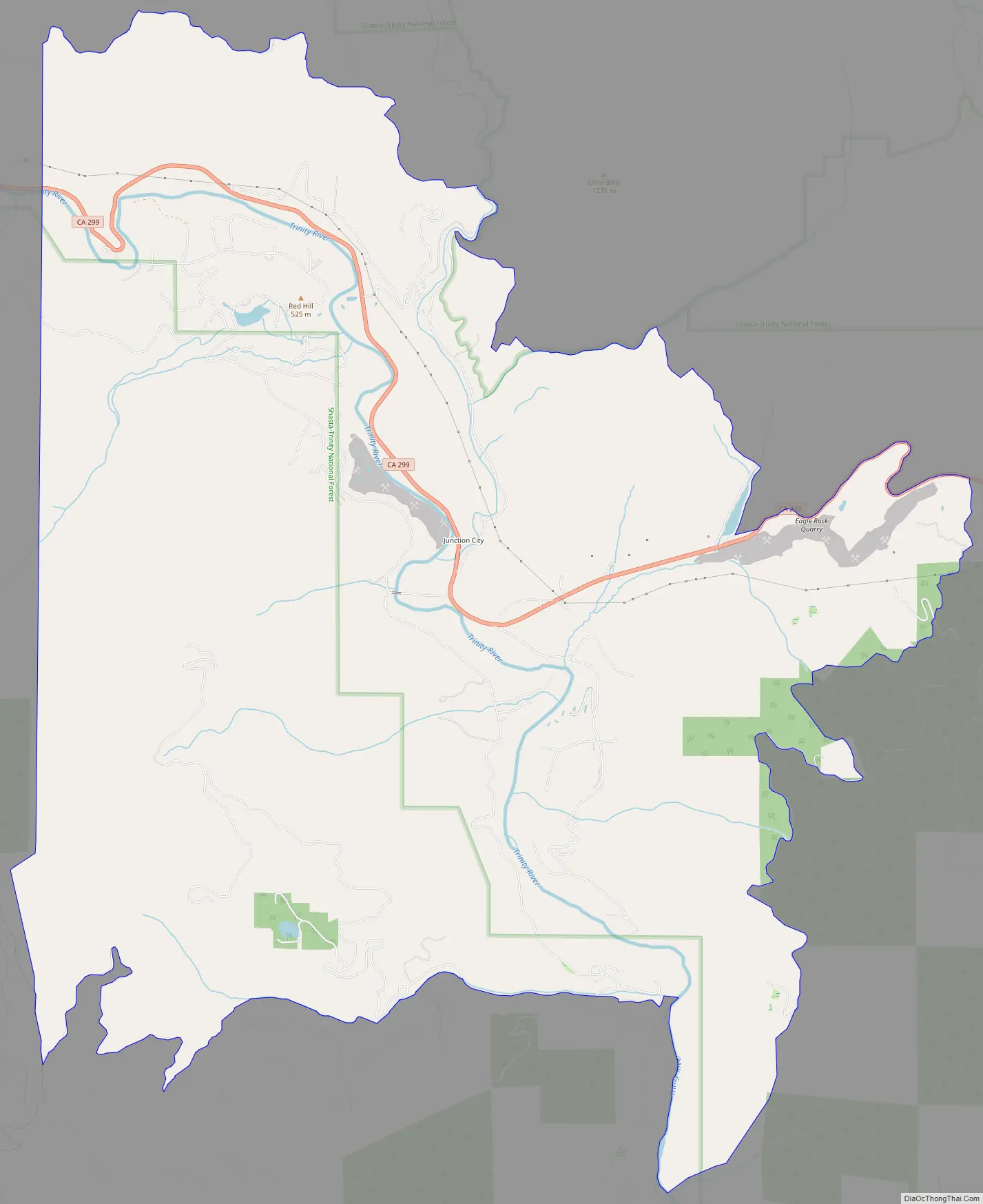
Junction City Road Map
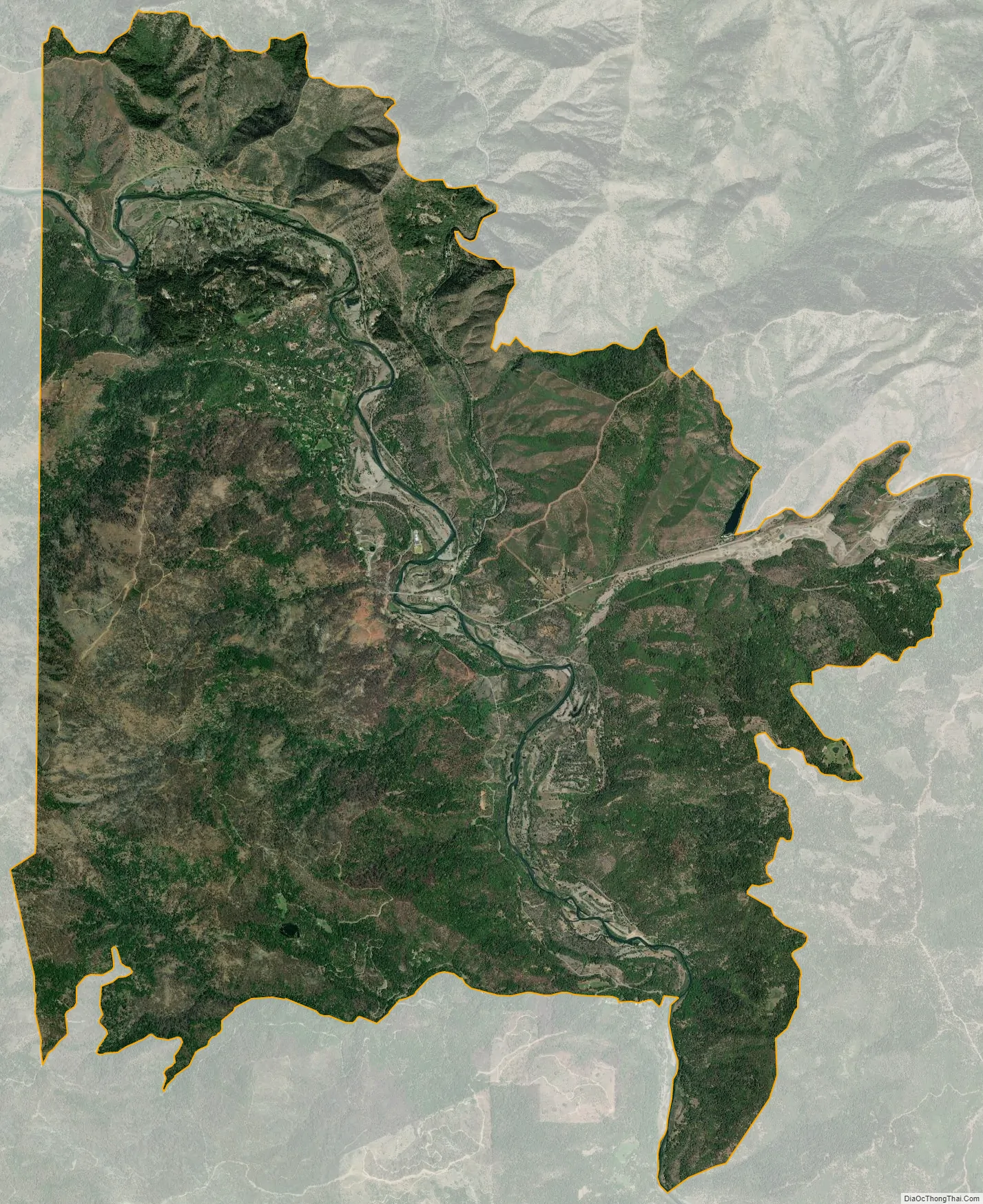
Junction City city Satellite Map
Geography
According to the United States Census Bureau, the CDP covers an area of 27.9 square miles (72.4 km), 99.84% of it land and 0.16% of it water.
See also
Map of California State and its subdivision:- Alameda
- Alpine
- Amador
- Butte
- Calaveras
- Colusa
- Contra Costa
- Del Norte
- El Dorado
- Fresno
- Glenn
- Humboldt
- Imperial
- Inyo
- Kern
- Kings
- Lake
- Lassen
- Los Angeles
- Madera
- Marin
- Mariposa
- Mendocino
- Merced
- Modoc
- Mono
- Monterey
- Napa
- Nevada
- Orange
- Placer
- Plumas
- Riverside
- Sacramento
- San Benito
- San Bernardino
- San Diego
- San Francisco
- San Joaquin
- San Luis Obispo
- San Mateo
- Santa Barbara
- Santa Clara
- Santa Cruz
- Shasta
- Sierra
- Siskiyou
- Solano
- Sonoma
- Stanislaus
- Sutter
- Tehama
- Trinity
- Tulare
- Tuolumne
- Ventura
- Yolo
- Yuba
- Alabama
- Alaska
- Arizona
- Arkansas
- California
- Colorado
- Connecticut
- Delaware
- District of Columbia
- Florida
- Georgia
- Hawaii
- Idaho
- Illinois
- Indiana
- Iowa
- Kansas
- Kentucky
- Louisiana
- Maine
- Maryland
- Massachusetts
- Michigan
- Minnesota
- Mississippi
- Missouri
- Montana
- Nebraska
- Nevada
- New Hampshire
- New Jersey
- New Mexico
- New York
- North Carolina
- North Dakota
- Ohio
- Oklahoma
- Oregon
- Pennsylvania
- Rhode Island
- South Carolina
- South Dakota
- Tennessee
- Texas
- Utah
- Vermont
- Virginia
- Washington
- West Virginia
- Wisconsin
- Wyoming