Keeler, formerly known as Hawley, is a census-designated place (CDP) in Inyo County, California, United States. Keeler is located on the east shore of Owens Lake 11.5 miles (19 km) south-southeast of New York Butte. The population was 71 people at the 2020 census, up from 66 at the 2010 census.
| Name: | Keeler CDP |
|---|---|
| LSAD Code: | 57 |
| LSAD Description: | CDP (suffix) |
| State: | California |
| County: | Inyo County |
| Elevation: | 3,602 ft (1,098 m) |
| Total Area: | 1.302 sq mi (3.373 km²) |
| Land Area: | 1.302 sq mi (3.373 km²) |
| Water Area: | 0 sq mi (0 km²) 0% |
| Total Population: | 71 |
| ZIP code: | 93530 |
| FIPS code: | 0637918 |
| GNISfeature ID: | 0244213 |
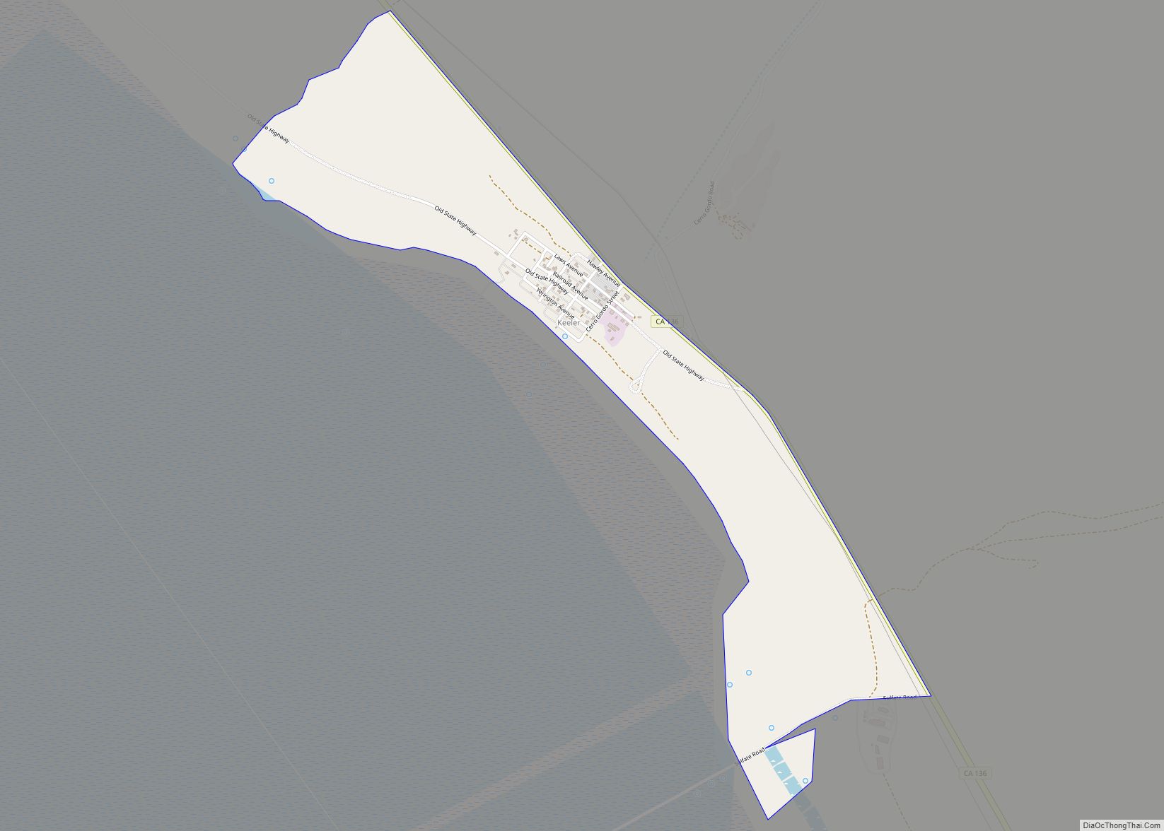
Online Interactive Map
Click on ![]() to view map in "full screen" mode.
to view map in "full screen" mode.
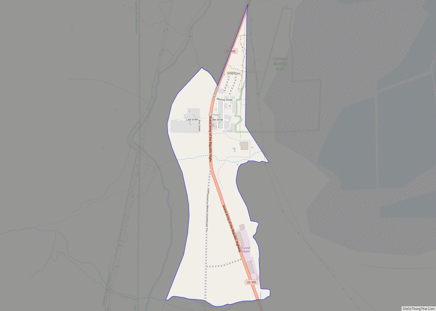
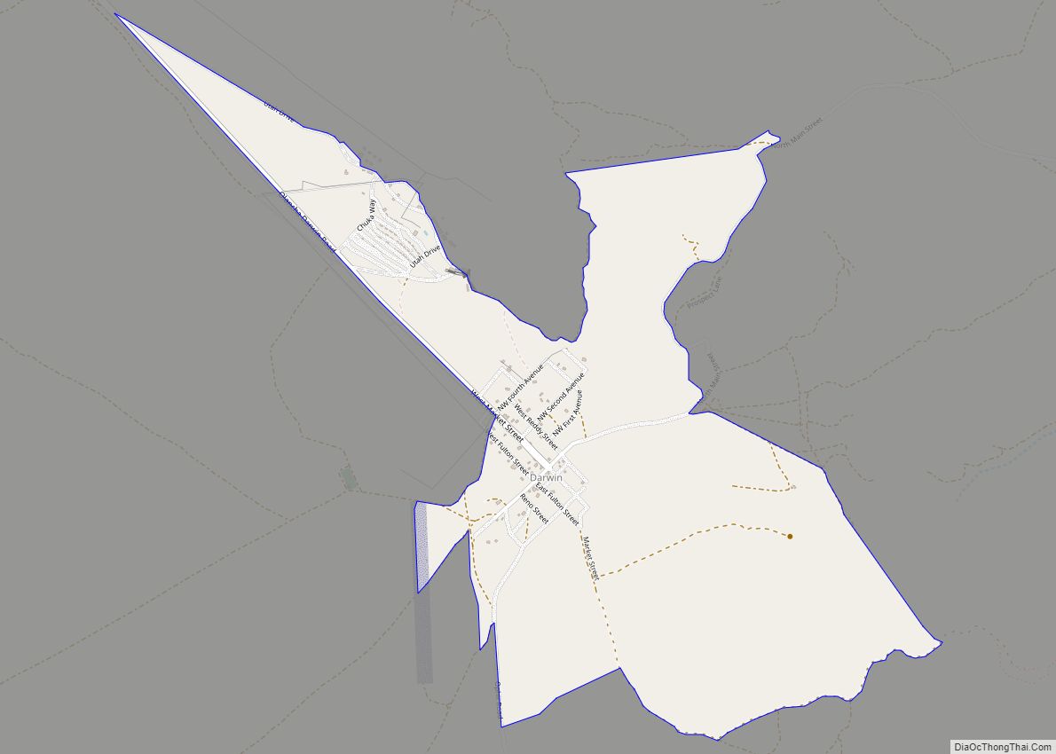
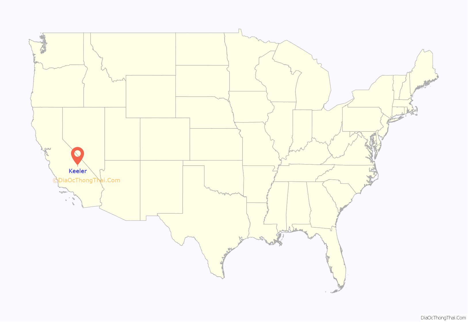
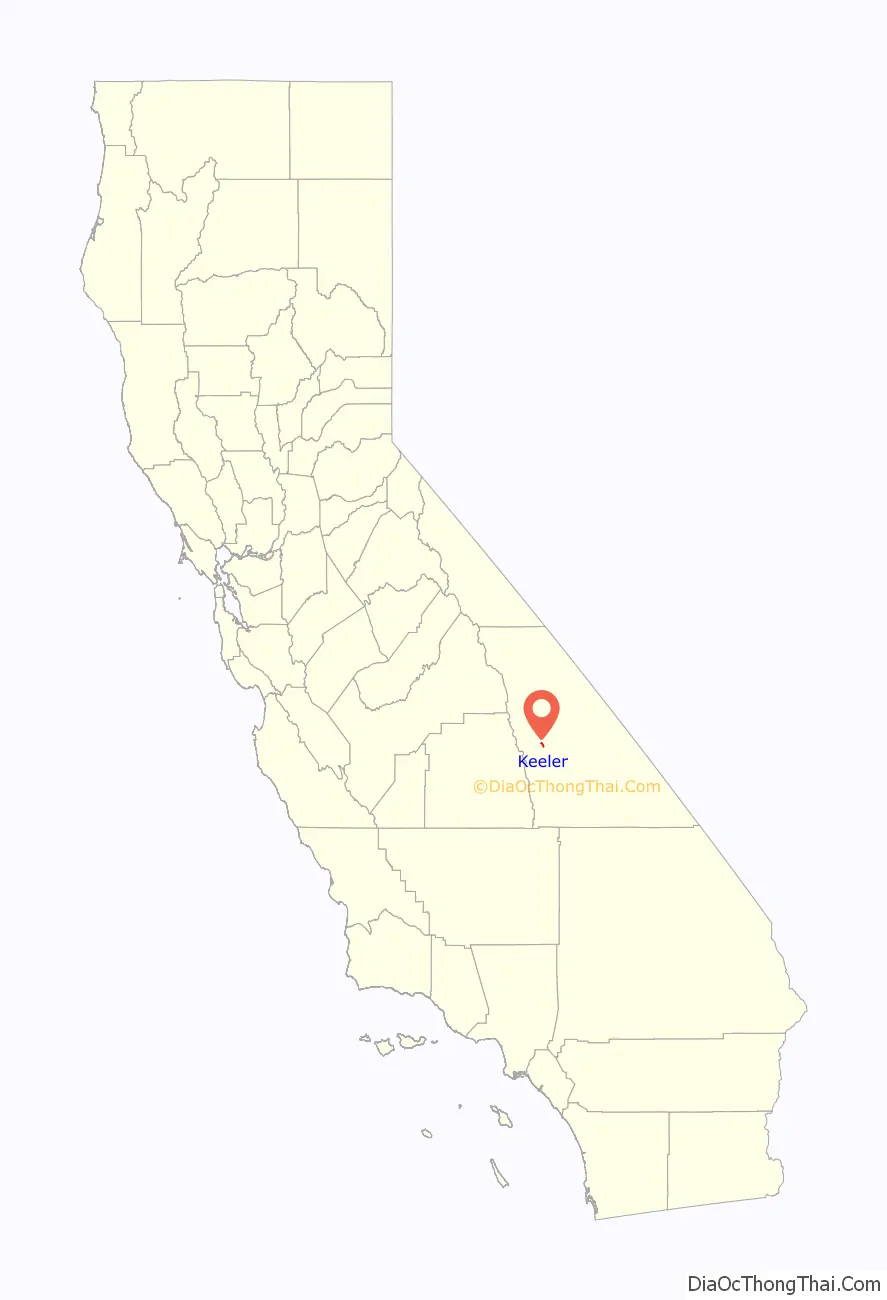
Keeler location map. Where is Keeler CDP?
History
When the 1872 Lone Pine earthquake rendered the pier in nearby Swansea inaccessible by uplifting the shoreline, a new pier was constructed to the south at a community named Hawley. In 1880 a new mill was constructed at Hawley by the Owens Lake Mining and Milling Company for processing silver ore from the Cerro Gordo Mines in the mountains to the east. A town was laid out by the company agent Julius M. Keeler, for whom the town of Hawley was later renamed.
The steamship Bessie Brady brought ore from Keeler across the lake to the town of Cartago. There was a 300-foot wharf at Keeler, and the steamship route cut days off the time a freight wagon would have taken to circle the lake. She carried 700 ingots at a time in a three-hour crossing, but in 1882 the Bessie Brady was destroyed by fire. The Carson and Colorado Railroad constructed a narrow gauge railway to Keeler in 1883. The success of the Cerro Gordo mines caused Keeler to boom until silver prices plummeted in the late 19th century.
A second boom of zinc mining in the early 20th century brought new life to the town and an aerial cable tramway was built to bring the ore from Cerro Gordo to Keeler. There were small surges in the mining of silver, lead, zinc and limestone, but by the 1950s all mining had ceased. Train service was stopped in 1960 and the tracks were removed in 1961. Water exports from the Owens Valley to the City of Los Angeles in the 1920s led the Owens Lake to eventually dry up, causing alkali dust storms to blow through Keeler, driving many residents away. Dust remediation efforts in the early 21st century reduced this problem, but few residents remain.
A post office operated at Keeler from 1883 to 1898 and is still operating today.
There is a California Historical Landmark in Keeler for the furnace of the Owens Lake Silver Company.
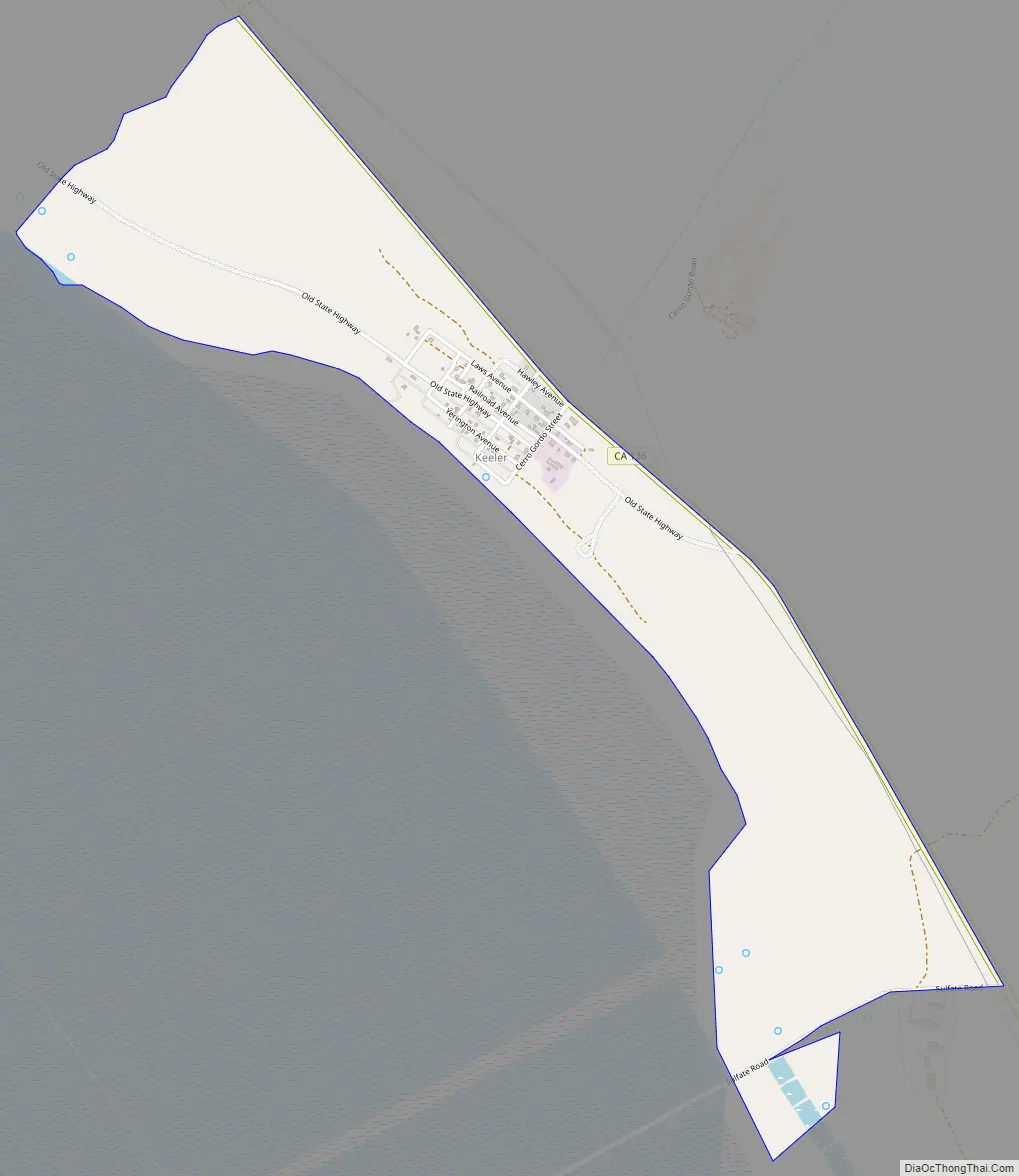
Keeler Road Map
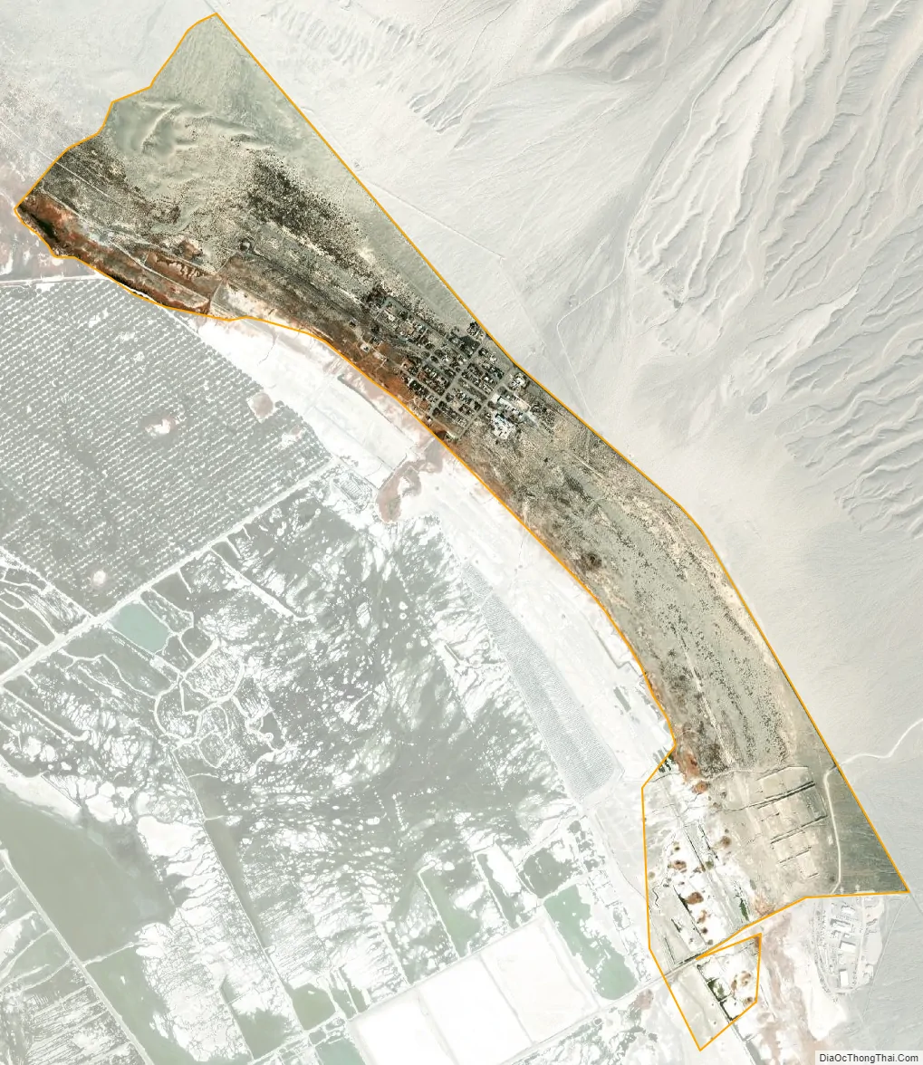
Keeler city Satellite Map
Geography
According to the United States Census Bureau, the CDP has a total area of 1.3 square miles (3.4 km), all land.
Keeler is located along the eastern shores of Owens Lake (a dry lakebed) along State Route 136.
See also
Map of California State and its subdivision:- Alameda
- Alpine
- Amador
- Butte
- Calaveras
- Colusa
- Contra Costa
- Del Norte
- El Dorado
- Fresno
- Glenn
- Humboldt
- Imperial
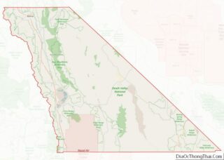
- Inyo
- Kern
- Kings
- Lake
- Lassen
- Los Angeles
- Madera
- Marin
- Mariposa
- Mendocino
- Merced
- Modoc
- Mono
- Monterey
- Napa
- Nevada
- Orange
- Placer
- Plumas
- Riverside
- Sacramento
- San Benito
- San Bernardino
- San Diego
- San Francisco
- San Joaquin
- San Luis Obispo
- San Mateo
- Santa Barbara
- Santa Clara
- Santa Cruz
- Shasta
- Sierra
- Siskiyou
- Solano
- Sonoma
- Stanislaus
- Sutter
- Tehama
- Trinity
- Tulare
- Tuolumne
- Ventura
- Yolo
- Yuba
- Alabama
- Alaska
- Arizona
- Arkansas
- California
- Colorado
- Connecticut
- Delaware
- District of Columbia
- Florida
- Georgia
- Hawaii
- Idaho
- Illinois
- Indiana
- Iowa
- Kansas
- Kentucky
- Louisiana
- Maine
- Maryland
- Massachusetts
- Michigan
- Minnesota
- Mississippi
- Missouri
- Montana
- Nebraska
- Nevada
- New Hampshire
- New Jersey
- New Mexico
- New York
- North Carolina
- North Dakota
- Ohio
- Oklahoma
- Oregon
- Pennsylvania
- Rhode Island
- South Carolina
- South Dakota
- Tennessee
- Texas
- Utah
- Vermont
- Virginia
- Washington
- West Virginia
- Wisconsin
- Wyoming