Kentfield (formerly Ross Landing, Tamalpais, and Kent) is a census-designated place (CDP) in Marin County, California, United States, just north of San Francisco. Kentfield is located 2 miles (3 km) southwest of downtown San Rafael, at an elevation of 115 feet (35 m). The population was 6,808 at the 2020 census. The ZIP codes are 94904 for street addresses, and 94914 for PO boxes, and are shared with the neighboring community of Greenbrae.
| Name: | Kentfield CDP |
|---|---|
| LSAD Code: | 57 |
| LSAD Description: | CDP (suffix) |
| State: | California |
| County: | Marin County |
| Elevation: | 115 ft (35 m) |
| Total Area: | 3.046 sq mi (7.89 km²) |
| Land Area: | 3.027 sq mi (7.84 km²) |
| Water Area: | 0.019 sq mi (0.05 km²) 0.62% |
| Total Population: | 6,808 |
| Population Density: | 2,249.1/sq mi (868.4/km²) |
| ZIP code: | 94904, 94914 (PO boxes) |
| FIPS code: | 0638114 |
| GNISfeature ID: | 1658892 |
Online Interactive Map
Click on ![]() to view map in "full screen" mode.
to view map in "full screen" mode.
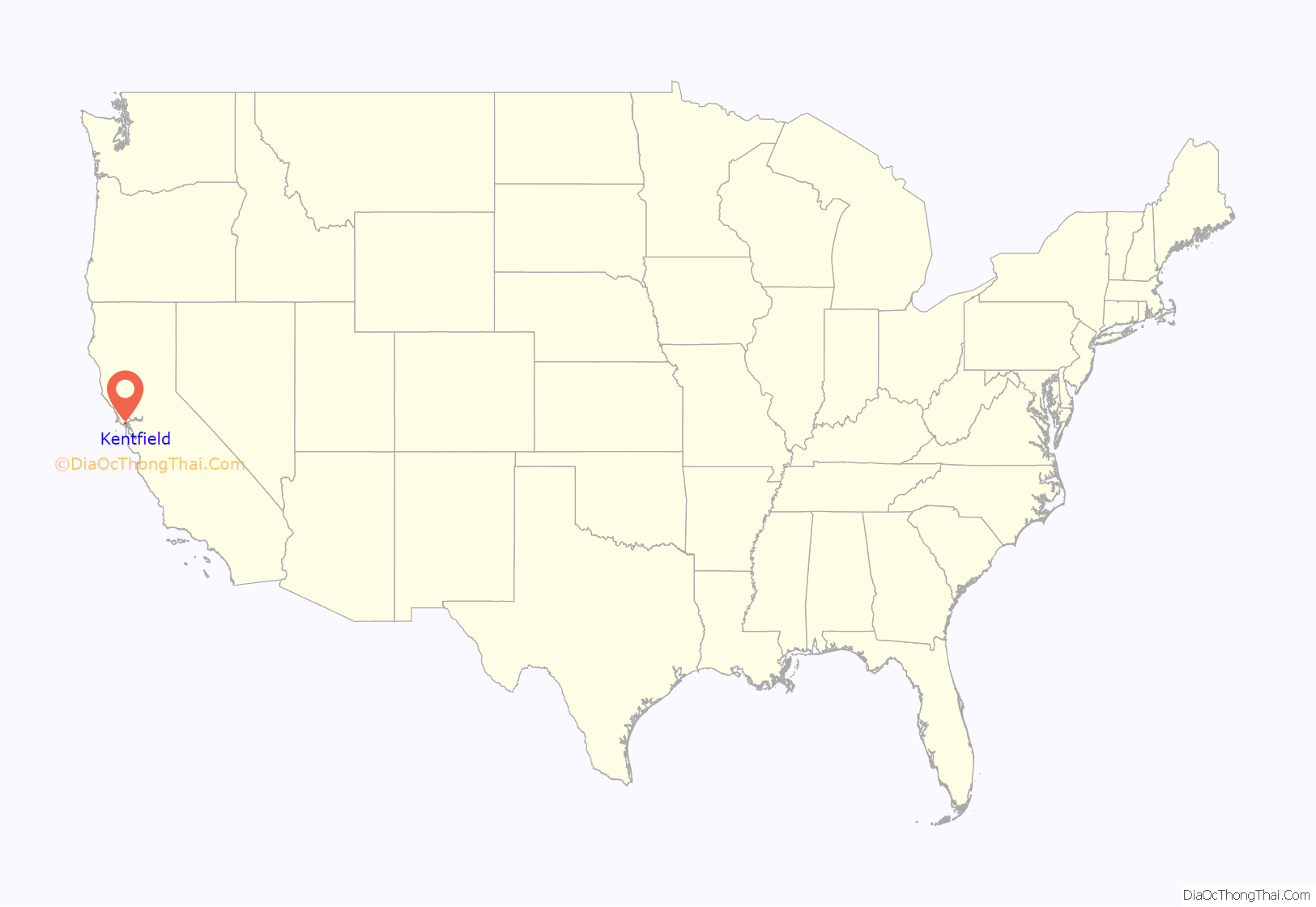
Kentfield location map. Where is Kentfield CDP?
History
In 1857, James Ross (1812–1862) bought Rancho Punta de Quentin. Ross, a Scot who had arrived in San Francisco from Australia in 1848 and made his fortune in the wholesale liquor business, set up a trading post called “Ross Landing”. Steamers would come up Corte Madera Creek to the landing there. Albert Emmett Kent bought the land from the Ross estate in 1871. Kent built an estate called Tamalpais, later applied to the nearby railroad station. His son, William Kent, was a US Congressman, philanthropist and founder of Muir Woods.
The name of the railroad station was changed to Kent in the 1890s, and finally to Kentfield with the opening of the first post office in 1905.
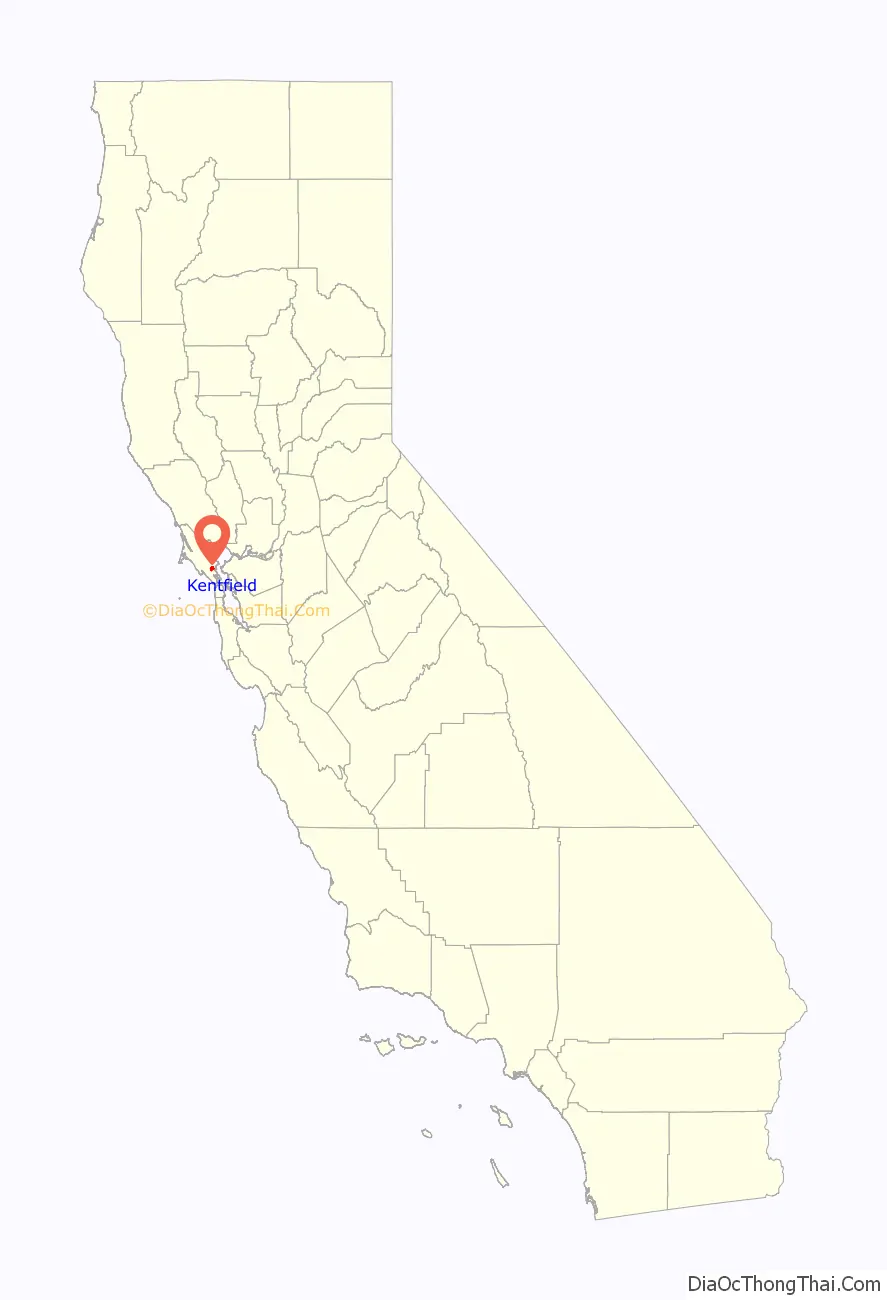
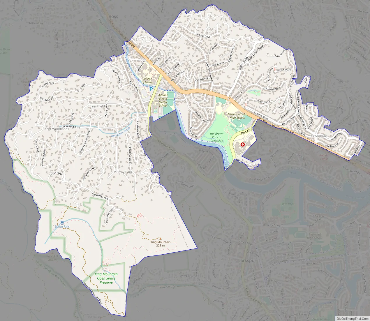
Kentfield Road Map
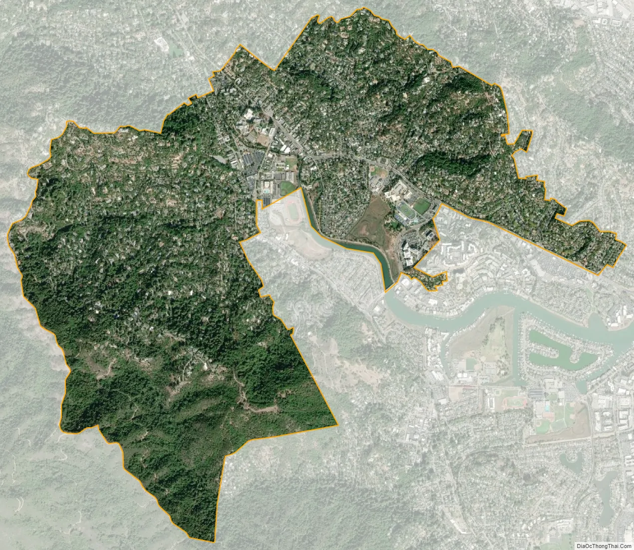
Kentfield city Satellite Map
Geography
Kentfield is located on the eastern slopes of Mount Tamalpais. It is at 37°57′08″N 122°33′26″W / 37.95222°N 122.55722°W / 37.95222; -122.55722. It is bordered to the north by Ross, to the northeast by San Rafael, and to the south by Larkspur.
According to the United States Census Bureau, the CDP has a total area of 3.0 square miles (7.8 km), of which 0.02 square miles (0.05 km), or 0.62%, are water.
See also
Map of California State and its subdivision:- Alameda
- Alpine
- Amador
- Butte
- Calaveras
- Colusa
- Contra Costa
- Del Norte
- El Dorado
- Fresno
- Glenn
- Humboldt
- Imperial
- Inyo
- Kern
- Kings
- Lake
- Lassen
- Los Angeles
- Madera
- Marin
- Mariposa
- Mendocino
- Merced
- Modoc
- Mono
- Monterey
- Napa
- Nevada
- Orange
- Placer
- Plumas
- Riverside
- Sacramento
- San Benito
- San Bernardino
- San Diego
- San Francisco
- San Joaquin
- San Luis Obispo
- San Mateo
- Santa Barbara
- Santa Clara
- Santa Cruz
- Shasta
- Sierra
- Siskiyou
- Solano
- Sonoma
- Stanislaus
- Sutter
- Tehama
- Trinity
- Tulare
- Tuolumne
- Ventura
- Yolo
- Yuba
- Alabama
- Alaska
- Arizona
- Arkansas
- California
- Colorado
- Connecticut
- Delaware
- District of Columbia
- Florida
- Georgia
- Hawaii
- Idaho
- Illinois
- Indiana
- Iowa
- Kansas
- Kentucky
- Louisiana
- Maine
- Maryland
- Massachusetts
- Michigan
- Minnesota
- Mississippi
- Missouri
- Montana
- Nebraska
- Nevada
- New Hampshire
- New Jersey
- New Mexico
- New York
- North Carolina
- North Dakota
- Ohio
- Oklahoma
- Oregon
- Pennsylvania
- Rhode Island
- South Carolina
- South Dakota
- Tennessee
- Texas
- Utah
- Vermont
- Virginia
- Washington
- West Virginia
- Wisconsin
- Wyoming


