King City (variant: Kings City) is a city in Monterey County, California, United States. It is located on the Salinas River 51 miles (82 km) southeast of Salinas, at an elevation of 335 feet (102 m). It lies along U.S. Route 101 in the Salinas Valley of California’s Central Coast. King City is a member of the Association of Monterey Bay Area Governments. The population was 13,332 at the 2020 census, up from 12,874 in 2010.
| Name: | King City city |
|---|---|
| LSAD Code: | 25 |
| LSAD Description: | city (suffix) |
| State: | California |
| County: | Monterey County |
| Incorporated: | February 9, 1911 |
| Elevation: | 335 ft (102 m) |
| Total Area: | 3.93 sq mi (10.2 km²) |
| Land Area: | 3.80 sq mi (9.8 km²) |
| Water Area: | 0.13 sq mi (0.3 km²) 3.36% |
| Total Population: | 13,332 |
| Population Density: | 3,508.4/sq mi (1,354.6/km²) |
| ZIP code: | 93930 |
| Area code: | 831 |
| FIPS code: | 0638520 |
| Website: | www.kingcity.com |
Online Interactive Map
Click on ![]() to view map in "full screen" mode.
to view map in "full screen" mode.
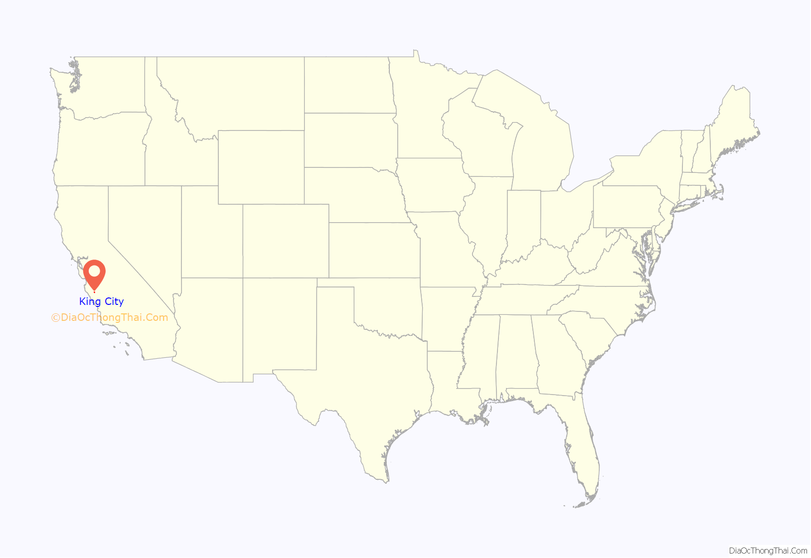
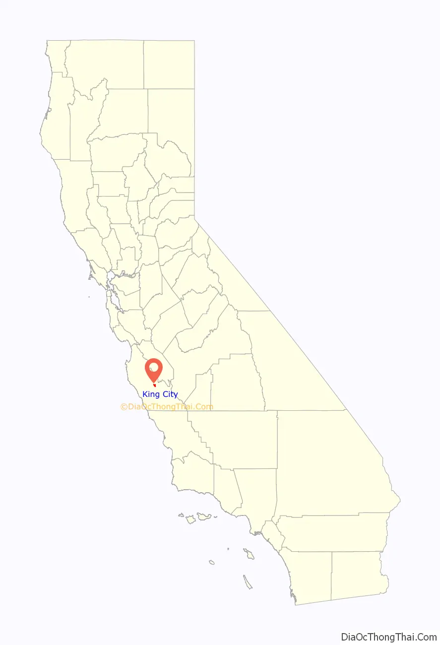
King City location map. Where is King City city?
History
The first European land exploration of Alta California, Don Gaspar de Portolá’s Spanish expedition, camped on the Salinas River just south of today’s King City on September 26, 1769, having followed the route of today’s Jolon Road from the south. The land they camped on would later become part of King City.
The Dutton Hotel, Stagecoach Station, was located on Jolon Road in King City. What remains are ruins of an adobe inn that was established in 1849. The Dutton Hotel was a major stagecoach stop on El Camino Real in the late 1880s. The landmark was listed on the National Register of Historic Places on October 14, 1971.
King City was originally known as “Kings City” for its founder, Charles King. In 1884 Charles King acquired 13,000 acres (53 km) of the Mexican land grant Rancho San Lorenzo, originally given to Mariano and Feliciano Soberanes in the early 1840s during Mexican rule of California. King began growing 6,000 acres (2,400 ha) of wheat. In an effort to get his crop to market, King allowed the Southern Pacific Railroad to lay tracks across King Ranch land. The terminus was a station known as King’s.
In 1886, the Southern Pacific Railroad completed service to King City to serve the farms and ranches in the south Salinas Valley and to transport the goods to San Francisco and Los Angeles.
It was originally called “Hog Town” due to the passel of semi-wild hogs roaming the stubble fields. King wanted to name the town “Vanderhurst”, after local merchant William Vanderhurst, but was outvoted and it was named for him. The city became known as Kings’, then the City of King, and later simply King City.
The King City post office first opened in 1887. Edwards S. Brown, brother-in-law of C.H. King was appointed Postmaster. King City incorporated under the name “City of King” in 1911.
J. Ernst Steinbeck, father of the novelist John Steinbeck, claimed to have been the first permanent resident of King City. Steinbeck was certainly among the first settlers. He was the first agent for the Southern Pacific Milling Company, which built an early warehouse and flour mill alongside the railroad tracks running through town. The mill was built by R. M. Shackelford, an early California settler and businessman who owned sheep pasturage next to that of Charles King.
Agriculture has always played a role in King City history. Between 1910 and 1930, the city became famous for growing pink beans. King City Pinks were sold around the country, helped along by additional demand during World War I.
The Robert Stanton Auditorium, built in 1939 as a WPA Depression project, is an example of Art Moderne style, with elliptical rounded corners, Doric-style columns, an expansive curved stairway leading to recessed oak and glass double doors, and a bas-relief triptych by artist Jo Mora, above doors that depict notable multi-cultural scenes of historic importance. Mora’s art is incorporated into the building’s design both inside and out. In 1991, it was listed on the National Register of Historic Places.
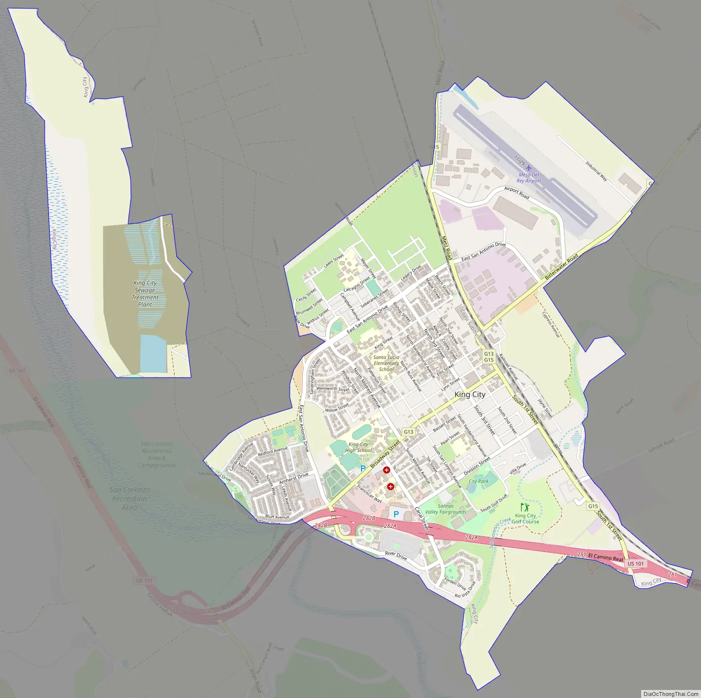
King City Road Map
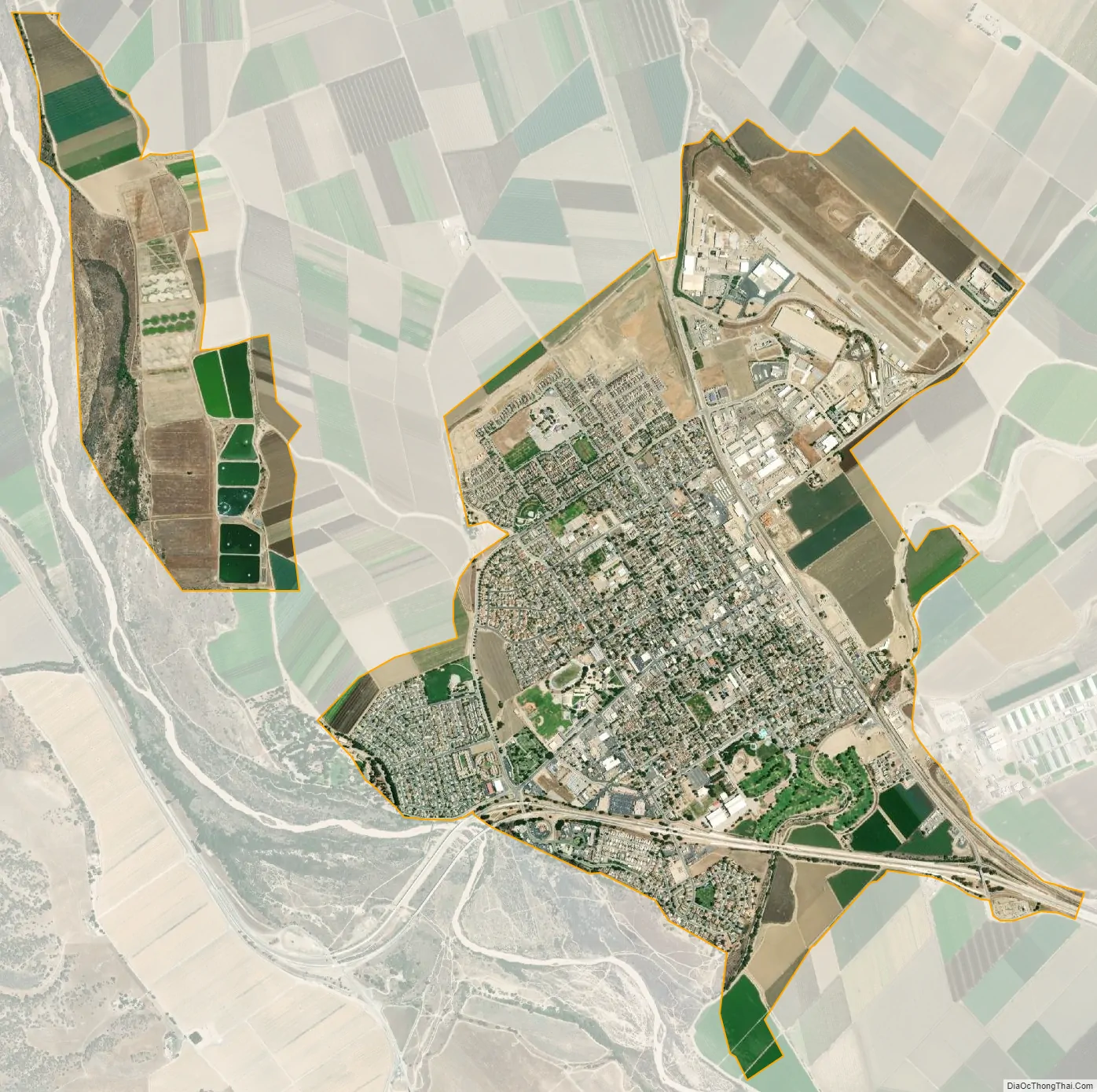
King City city Satellite Map
Geography
King City is in southeastern Monterey County in the Salinas Valley at an elevation of 330 feet (100 m) above sea level. It lies between Greenfield 13 miles (21 km) to the northwest and San Lucas 9 miles (14 km) to the southeast, all of them along U.S. Route 101. The amount of land area in King City is 3.8 square miles (9.8 km), of which 0.1 square miles (0.3 km), or 3.36%, are mapped as water. The Salinas River flows on the west side of the city; due to its sandy bed, portions of the river sometimes flow underground, especially during the summer months.
See also
Map of California State and its subdivision:- Alameda
- Alpine
- Amador
- Butte
- Calaveras
- Colusa
- Contra Costa
- Del Norte
- El Dorado
- Fresno
- Glenn
- Humboldt
- Imperial
- Inyo
- Kern
- Kings
- Lake
- Lassen
- Los Angeles
- Madera
- Marin
- Mariposa
- Mendocino
- Merced
- Modoc
- Mono
- Monterey
- Napa
- Nevada
- Orange
- Placer
- Plumas
- Riverside
- Sacramento
- San Benito
- San Bernardino
- San Diego
- San Francisco
- San Joaquin
- San Luis Obispo
- San Mateo
- Santa Barbara
- Santa Clara
- Santa Cruz
- Shasta
- Sierra
- Siskiyou
- Solano
- Sonoma
- Stanislaus
- Sutter
- Tehama
- Trinity
- Tulare
- Tuolumne
- Ventura
- Yolo
- Yuba
- Alabama
- Alaska
- Arizona
- Arkansas
- California
- Colorado
- Connecticut
- Delaware
- District of Columbia
- Florida
- Georgia
- Hawaii
- Idaho
- Illinois
- Indiana
- Iowa
- Kansas
- Kentucky
- Louisiana
- Maine
- Maryland
- Massachusetts
- Michigan
- Minnesota
- Mississippi
- Missouri
- Montana
- Nebraska
- Nevada
- New Hampshire
- New Jersey
- New Mexico
- New York
- North Carolina
- North Dakota
- Ohio
- Oklahoma
- Oregon
- Pennsylvania
- Rhode Island
- South Carolina
- South Dakota
- Tennessee
- Texas
- Utah
- Vermont
- Virginia
- Washington
- West Virginia
- Wisconsin
- Wyoming


