La Porte is a census-designated place (CDP) in Plumas County, California, United States. The population was 26 at the 2010 census, down from 43 at the 2000 census.
| Name: | La Porte CDP |
|---|---|
| LSAD Code: | 57 |
| LSAD Description: | CDP (suffix) |
| State: | California |
| County: | Plumas County |
| Elevation: | 4,980 ft (1,518 m) |
| Total Area: | 4.457 sq mi (11.544 km²) |
| Land Area: | 4.457 sq mi (11.544 km²) |
| Water Area: | 0 sq mi (0 km²) 0% |
| Total Population: | 26 |
| Population Density: | 5.8/sq mi (2.3/km²) |
| ZIP code: | 95981 |
| Area code: | 530 |
| FIPS code: | 0640312 |
| GNISfeature ID: | 0262254 |
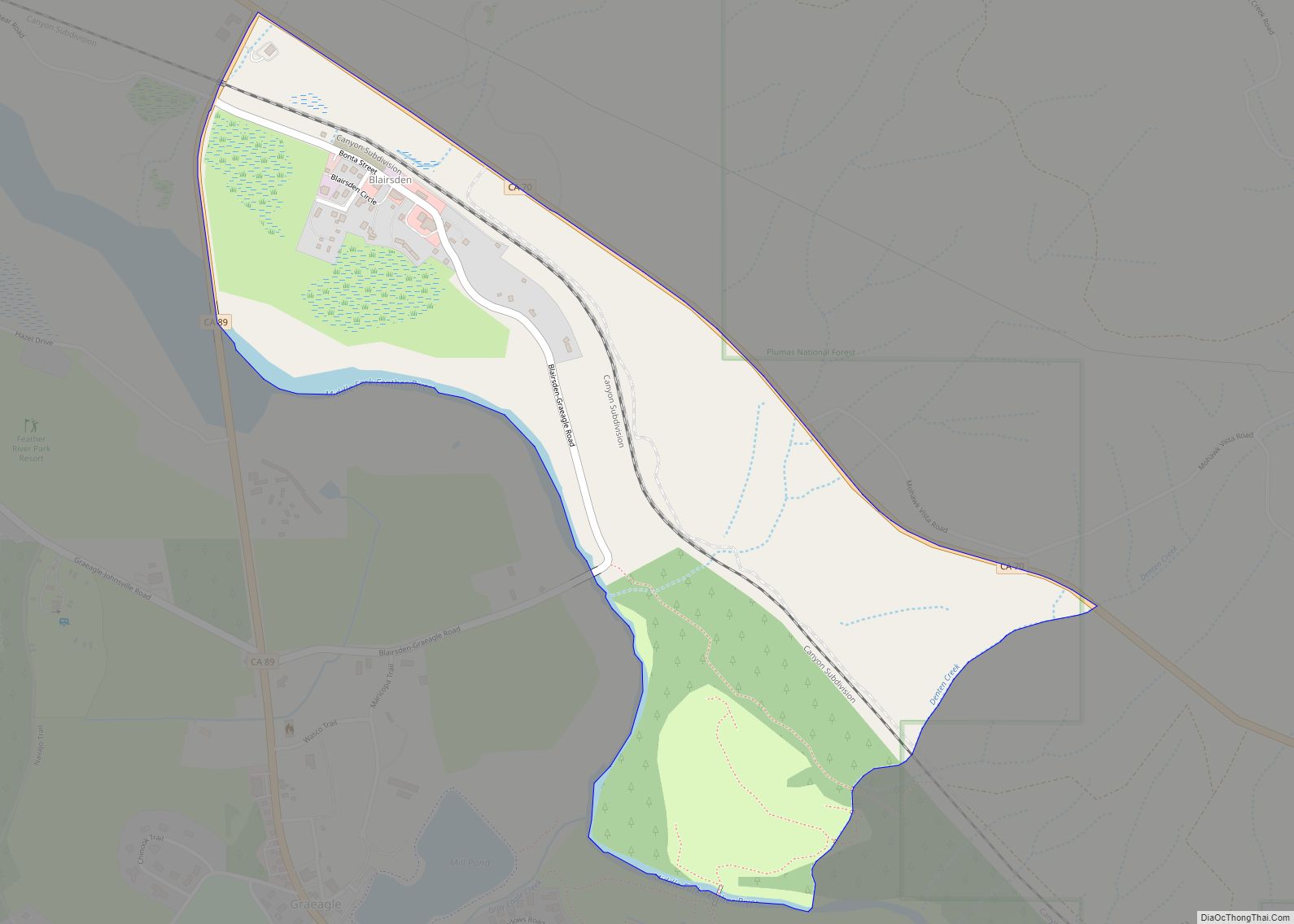
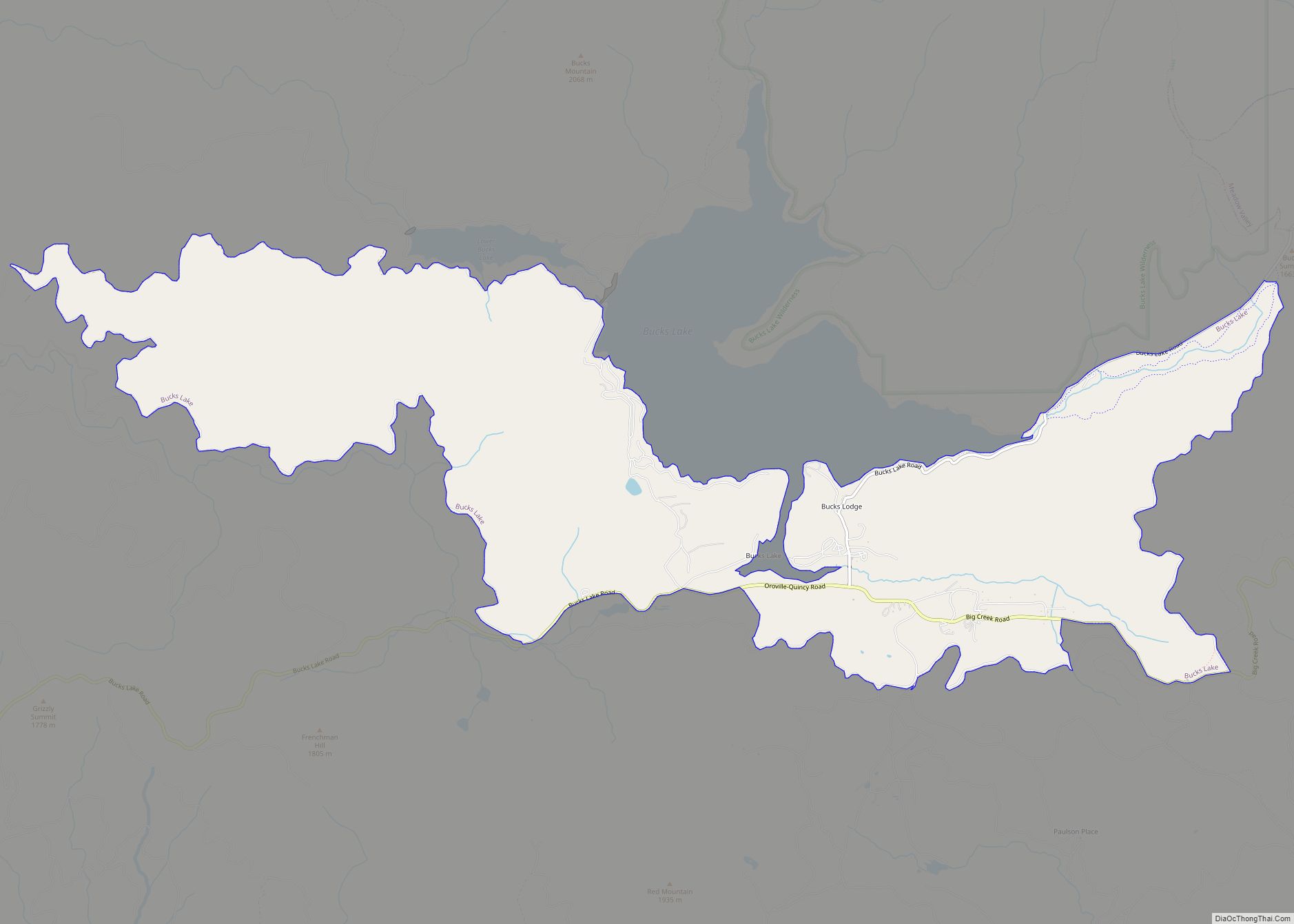
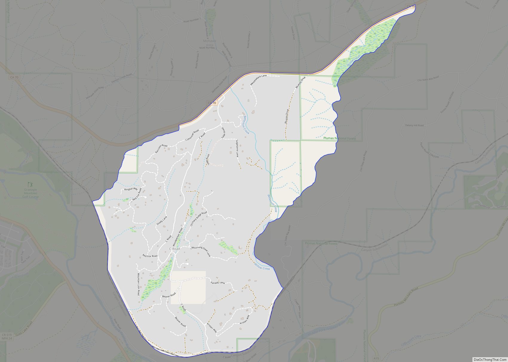
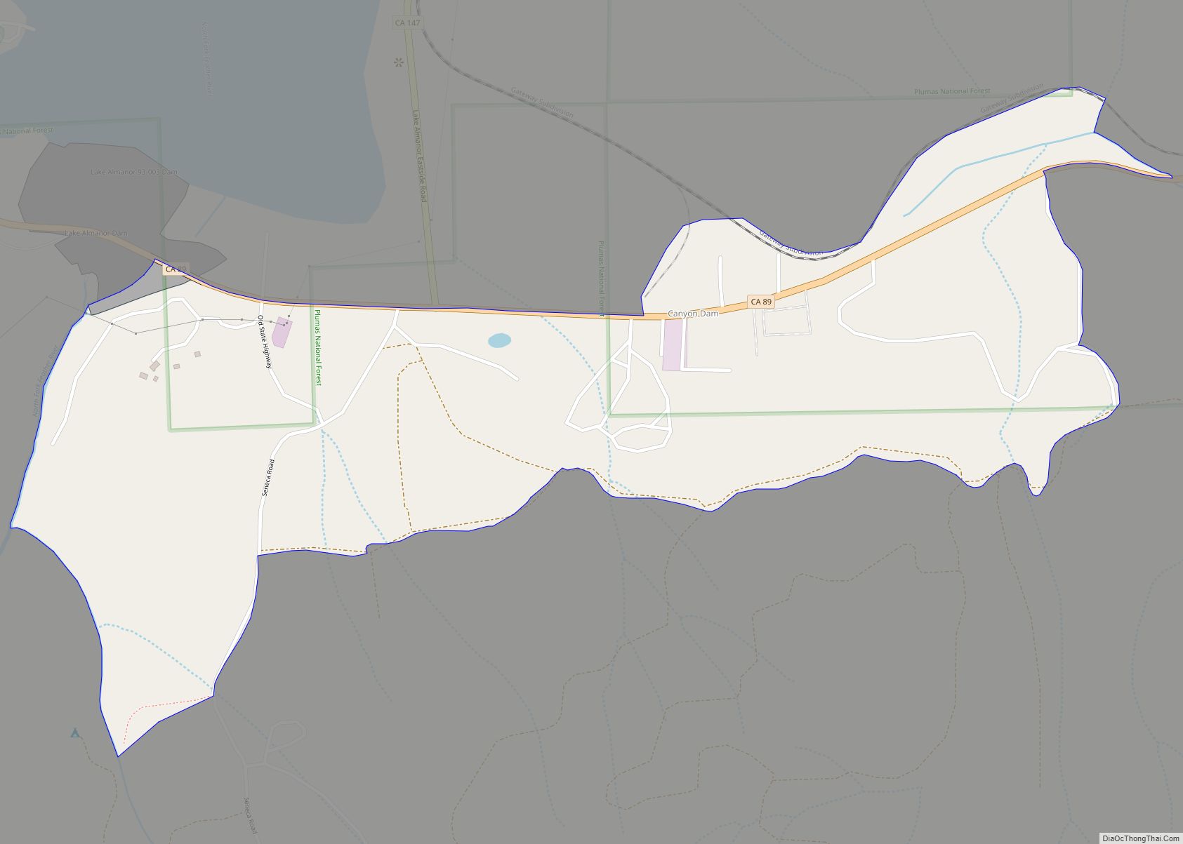
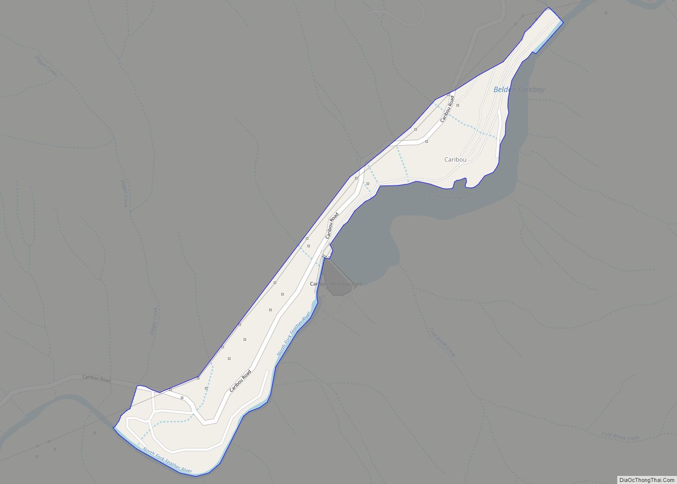
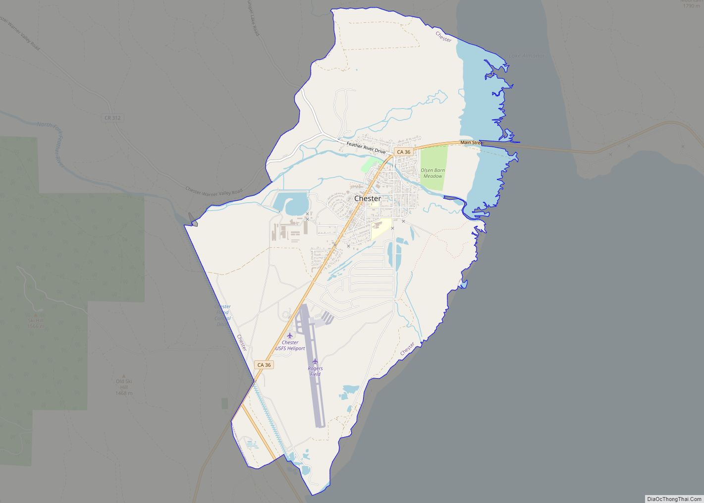
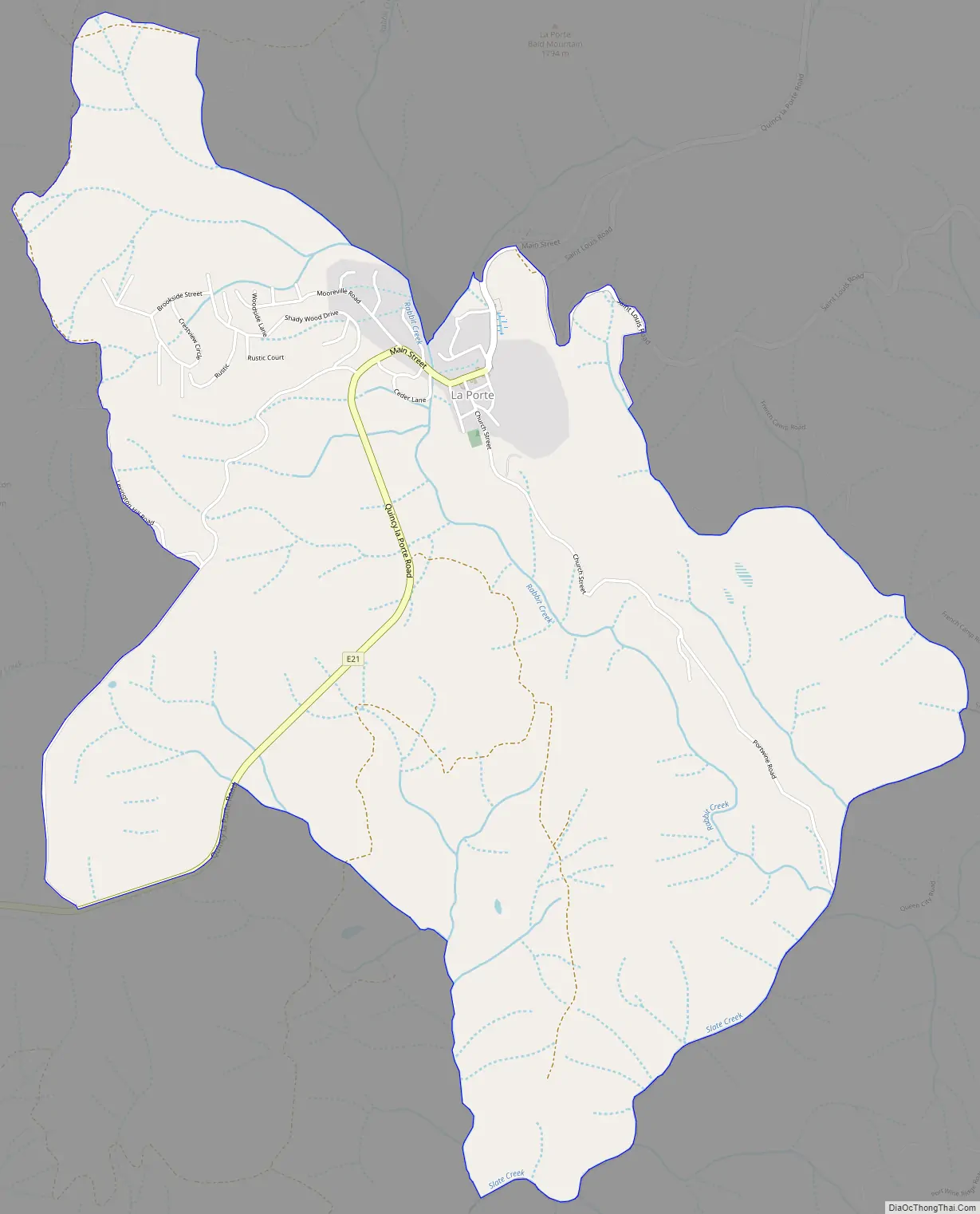
Online Interactive Map
Click on ![]() to view map in "full screen" mode.
to view map in "full screen" mode.
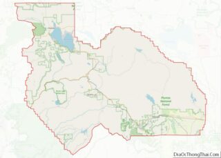
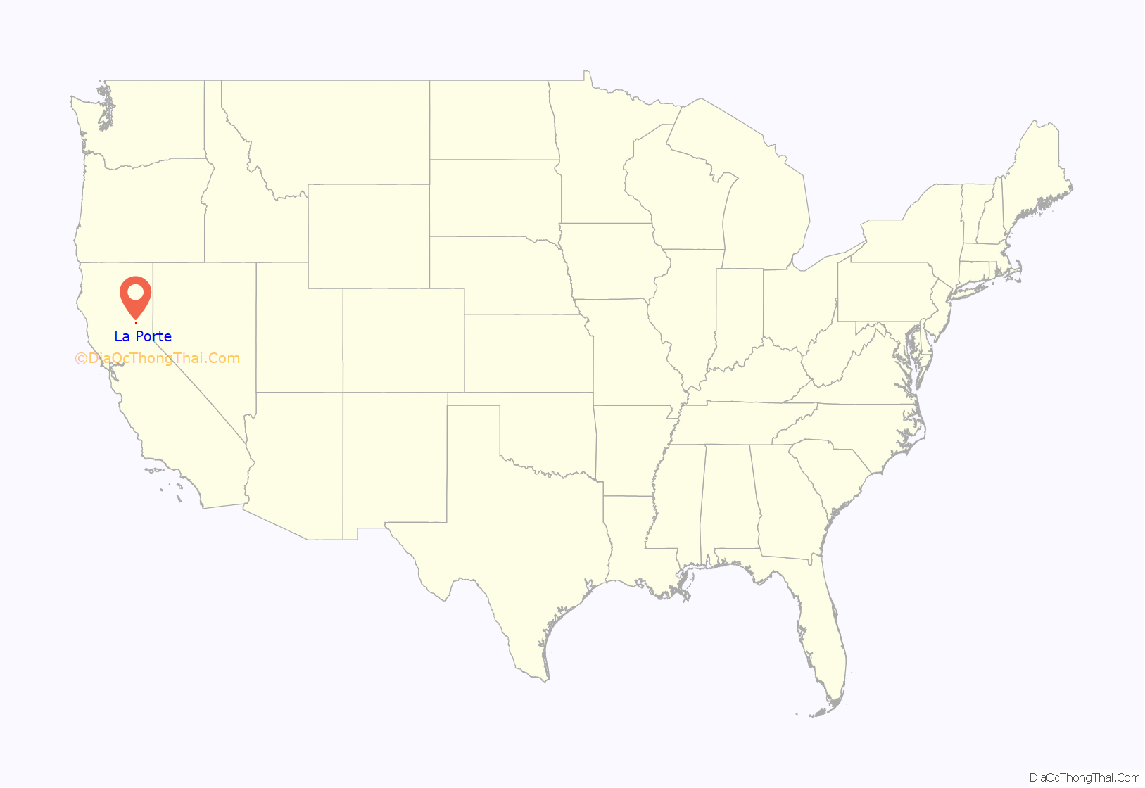
La Porte location map. Where is La Porte CDP?
History
At the time of statehood in 1850, La Porte was located in Yuba County, one of California’s 27 original counties.
In 1852, Sierra County was created from part of Yuba County. After that time, La Porte was located in Sierra County.
In 1854, Plumas County was created from part of Yuba County. In 1866, a further realignment placed La Porte in Plumas County, where it has remained ever since.
La Porte was named Rabbit Creek until 1857. It was a hub of commerce in the region during the California Gold Rush.
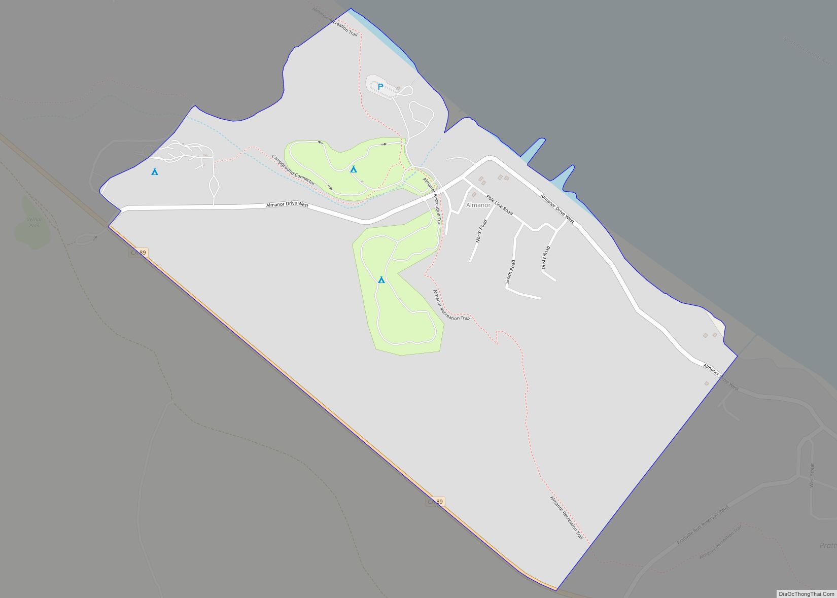
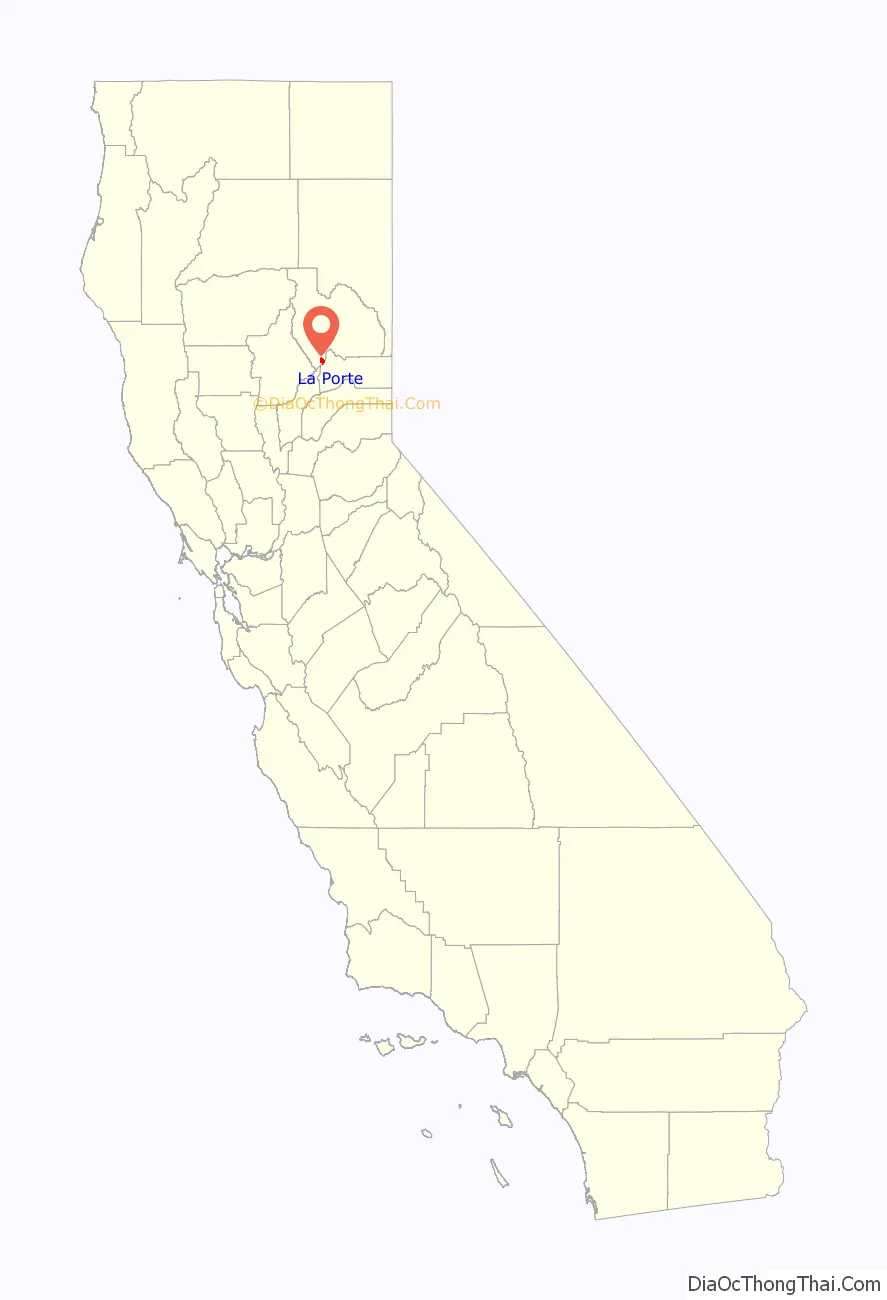
La Porte Road Map
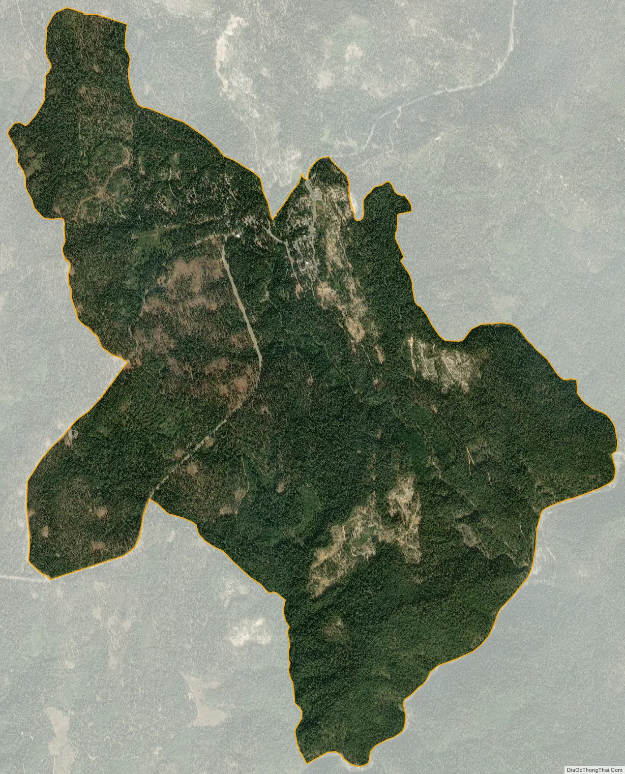
La Porte city Satellite Map
Geography
La Porte is located at 39°40′55″N 120°59′5″W / 39.68194°N 120.98472°W / 39.68194; -120.98472 (39.681908, -120.984732).
According to the United States Census Bureau, the CDP has a total area of 4.5 square miles (12 km), all of it land.
See also
Map of California State and its subdivision:- Alameda
- Alpine
- Amador
- Butte
- Calaveras
- Colusa
- Contra Costa
- Del Norte
- El Dorado
- Fresno
- Glenn
- Humboldt
- Imperial
- Inyo
- Kern
- Kings
- Lake
- Lassen
- Los Angeles
- Madera
- Marin
- Mariposa
- Mendocino
- Merced
- Modoc
- Mono
- Monterey
- Napa
- Nevada
- Orange
- Placer
- Plumas
- Riverside
- Sacramento
- San Benito
- San Bernardino
- San Diego
- San Francisco
- San Joaquin
- San Luis Obispo
- San Mateo
- Santa Barbara
- Santa Clara
- Santa Cruz
- Shasta
- Sierra
- Siskiyou
- Solano
- Sonoma
- Stanislaus
- Sutter
- Tehama
- Trinity
- Tulare
- Tuolumne
- Ventura
- Yolo
- Yuba
- Alabama
- Alaska
- Arizona
- Arkansas
- California
- Colorado
- Connecticut
- Delaware
- District of Columbia
- Florida
- Georgia
- Hawaii
- Idaho
- Illinois
- Indiana
- Iowa
- Kansas
- Kentucky
- Louisiana
- Maine
- Maryland
- Massachusetts
- Michigan
- Minnesota
- Mississippi
- Missouri
- Montana
- Nebraska
- Nevada
- New Hampshire
- New Jersey
- New Mexico
- New York
- North Carolina
- North Dakota
- Ohio
- Oklahoma
- Oregon
- Pennsylvania
- Rhode Island
- South Carolina
- South Dakota
- Tennessee
- Texas
- Utah
- Vermont
- Virginia
- Washington
- West Virginia
- Wisconsin
- Wyoming