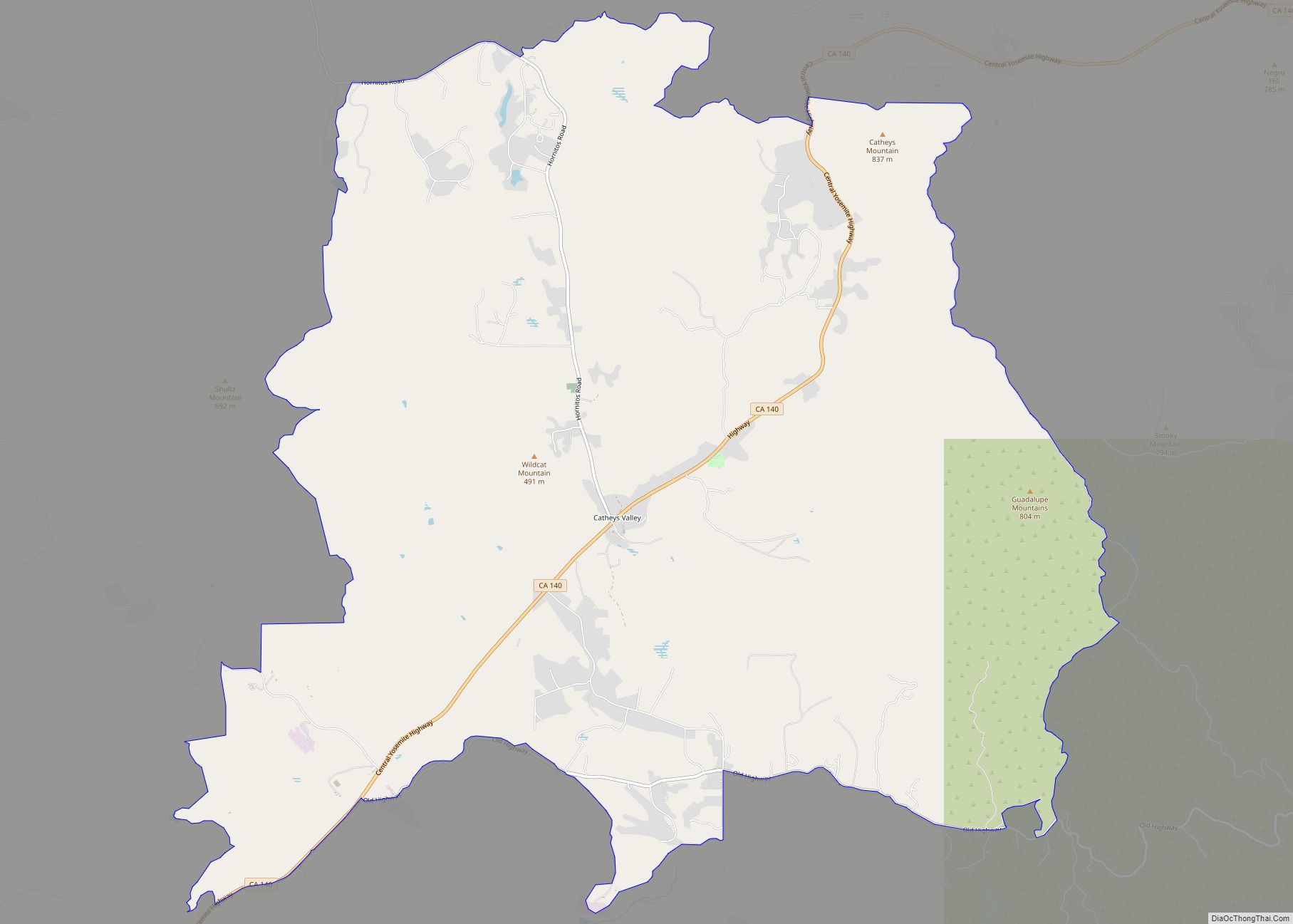
Lake Don Pedro is a census-designated place (CDP) in Mariposa County, California. The community sits at an elevation of 1,122 feet (342 m). As of the 2020 United States census, the population was 1,765.
| Name: | Lake Don Pedro CDP |
|---|---|
| LSAD Code: | 57 |
| LSAD Description: | CDP (suffix) |
| State: | California |
| County: | Mariposa County |
| Elevation: | 1,122 ft (342 m) |
| Total Area: | 19.707 sq mi (51.04 km²) |
| Land Area: | 18.421 sq mi (47.71 km²) |
| Water Area: | 1.286 sq mi (3.33 km²) 6.53% |
| Total Population: | 1,765 |
| Population Density: | 95.8/sq mi (37.0/km²) |
| FIPS code: | 0639484 |
| GNISfeature ID: | 2627934 |
Online Interactive Map
Click on ![]() to view map in "full screen" mode.
to view map in "full screen" mode.
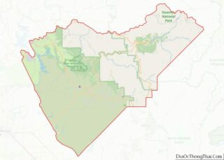
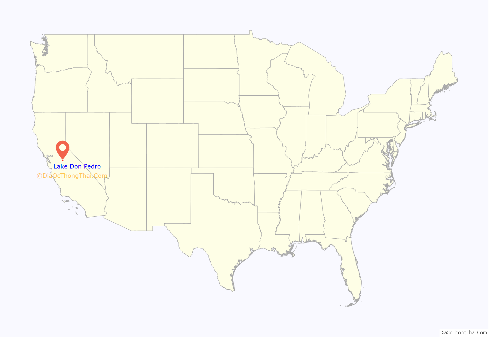
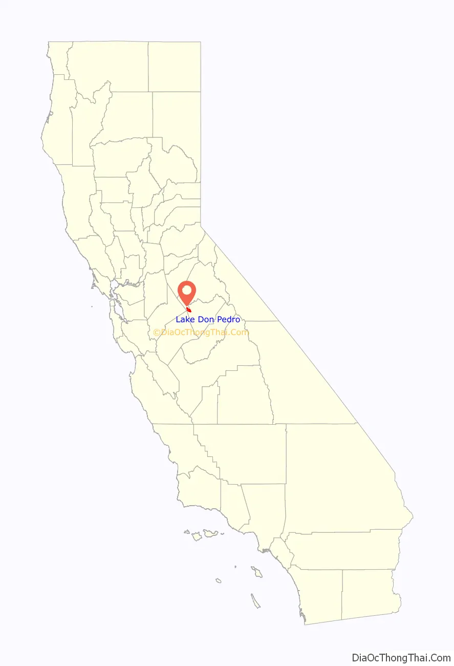
Lake Don Pedro location map. Where is Lake Don Pedro CDP?
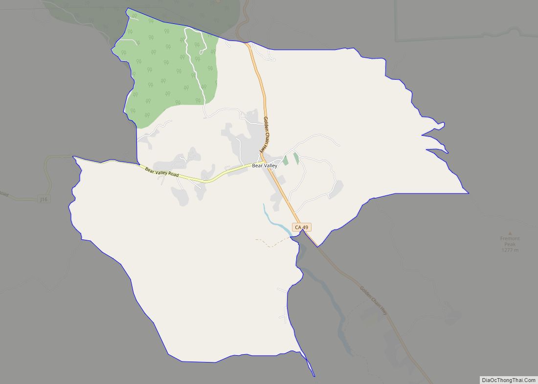
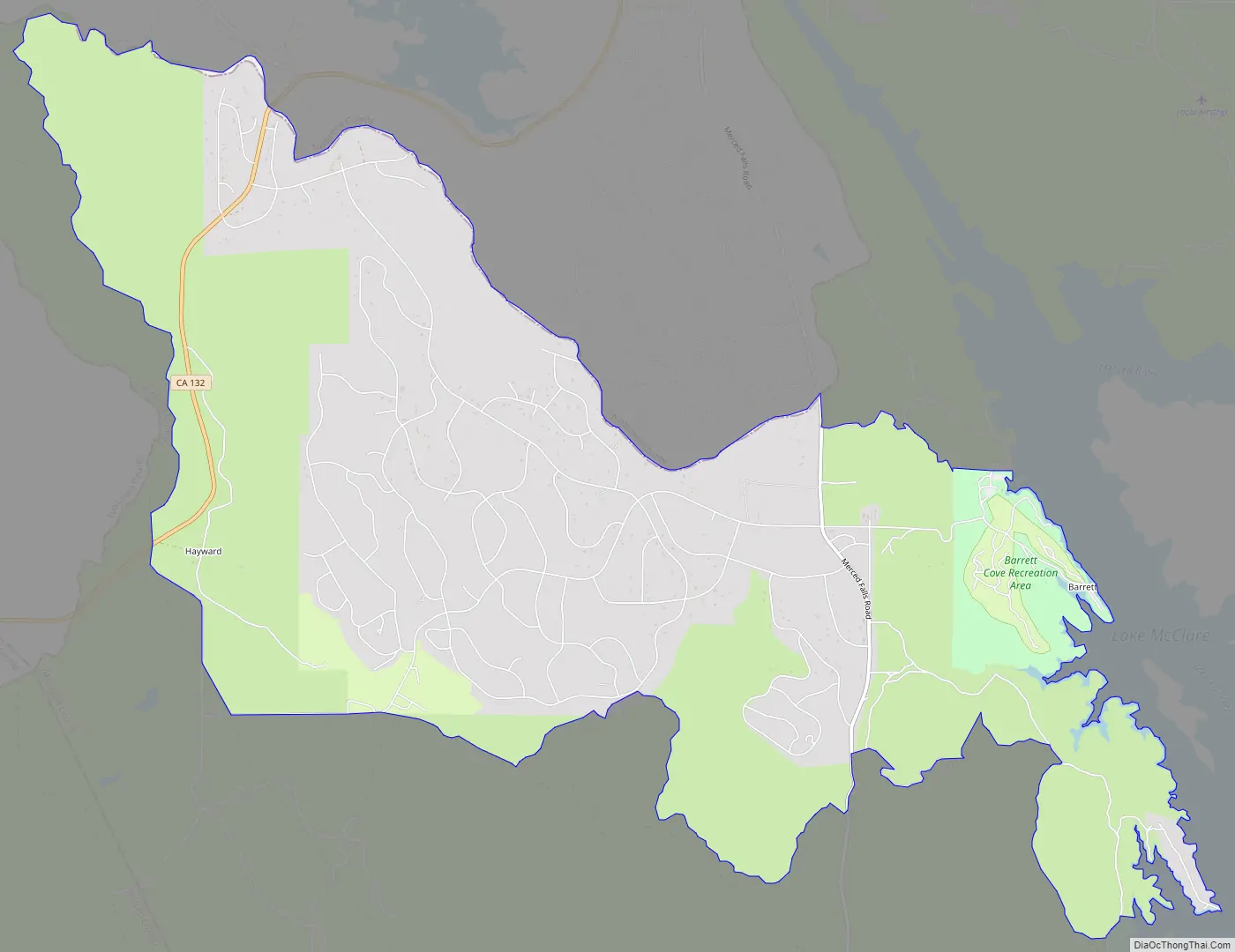
Lake Don Pedro Road Map
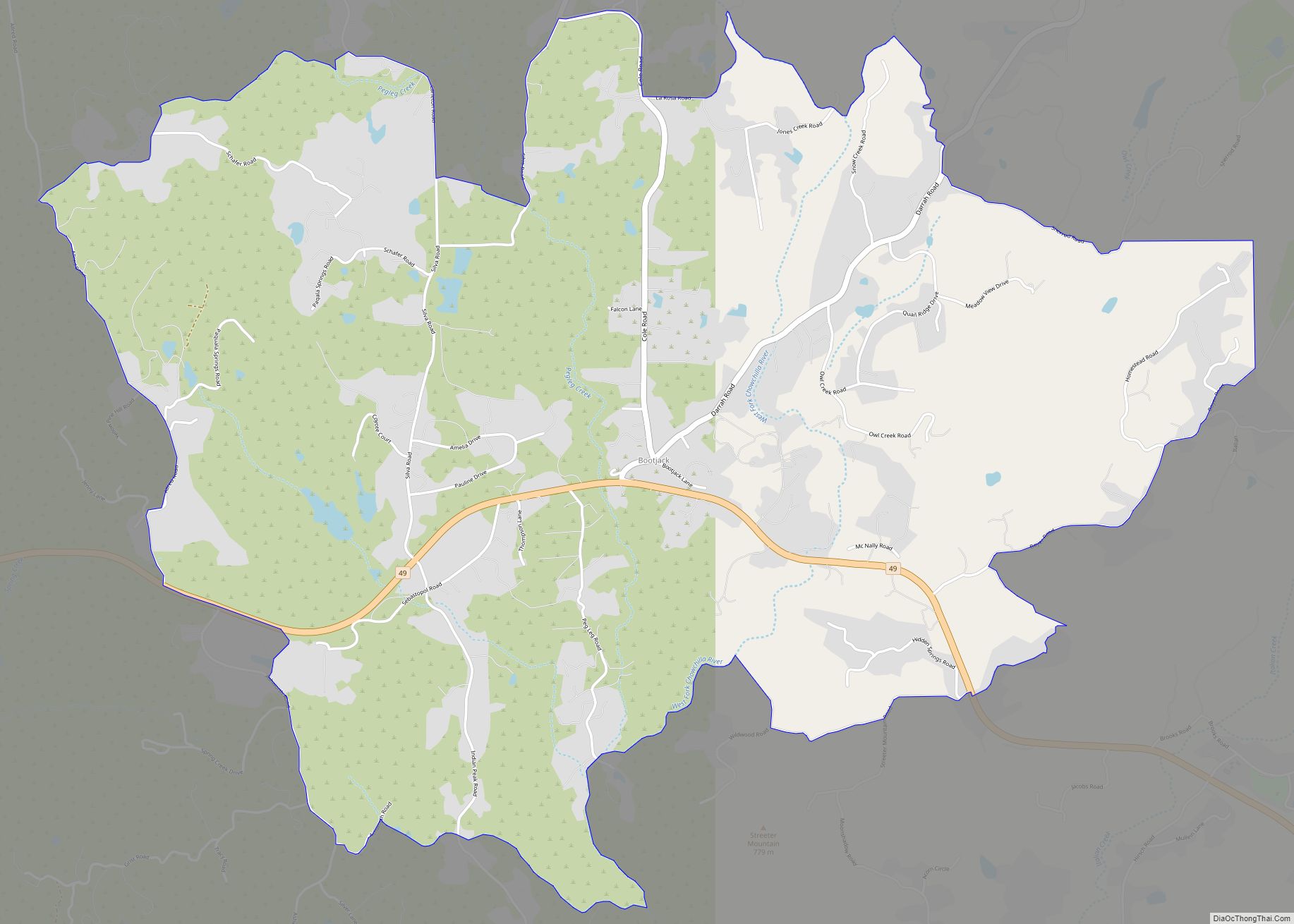
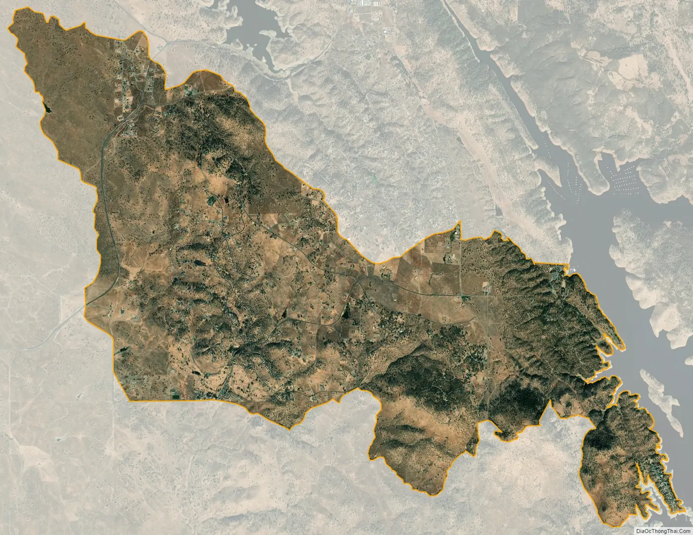
Lake Don Pedro city Satellite Map
Geography
The community occupies the northwestern corner of Mariposa County, bordered to the north and west by Tuolumne County and to the southwest by Merced County. The CDP extends east to the shore of Lake McClure, a reservoir on the Merced River. According to the U.S. Census Bureau, the CDP covers an area of 19.7 square miles (51 km), of which 18.4 square miles (48 km) are land and 1.3 square miles (3.4 km), or 6.53%, are water.
California State Route 132 passes through the northern parts of the community, leading east 13 miles (21 km) to Coulterville and west 8 miles (13 km) to La Grange. Modesto is 40 miles (64 km) to the west.
See also
Map of California State and its subdivision:- Alameda
- Alpine
- Amador
- Butte
- Calaveras
- Colusa
- Contra Costa
- Del Norte
- El Dorado
- Fresno
- Glenn
- Humboldt
- Imperial
- Inyo
- Kern
- Kings
- Lake
- Lassen
- Los Angeles
- Madera
- Marin
- Mariposa
- Mendocino
- Merced
- Modoc
- Mono
- Monterey
- Napa
- Nevada
- Orange
- Placer
- Plumas
- Riverside
- Sacramento
- San Benito
- San Bernardino
- San Diego
- San Francisco
- San Joaquin
- San Luis Obispo
- San Mateo
- Santa Barbara
- Santa Clara
- Santa Cruz
- Shasta
- Sierra
- Siskiyou
- Solano
- Sonoma
- Stanislaus
- Sutter
- Tehama
- Trinity
- Tulare
- Tuolumne
- Ventura
- Yolo
- Yuba
- Alabama
- Alaska
- Arizona
- Arkansas
- California
- Colorado
- Connecticut
- Delaware
- District of Columbia
- Florida
- Georgia
- Hawaii
- Idaho
- Illinois
- Indiana
- Iowa
- Kansas
- Kentucky
- Louisiana
- Maine
- Maryland
- Massachusetts
- Michigan
- Minnesota
- Mississippi
- Missouri
- Montana
- Nebraska
- Nevada
- New Hampshire
- New Jersey
- New Mexico
- New York
- North Carolina
- North Dakota
- Ohio
- Oklahoma
- Oregon
- Pennsylvania
- Rhode Island
- South Carolina
- South Dakota
- Tennessee
- Texas
- Utah
- Vermont
- Virginia
- Washington
- West Virginia
- Wisconsin
- Wyoming