Modesto (Spanish pronunciation: [moˈdesto]) is the county seat and largest city of Stanislaus County, California, United States. With a population of 218,464 at the 2020 census, it is the 19th largest city in the state of California.
Modesto is located in the Central Valley, 68 miles (109 km) south of Sacramento and 90 miles (140 km) north of Fresno. Distances from other places include: 40 miles (64 km) north of Merced, California, 92 miles (148 km) east of San Francisco, 66 miles (106 km) west of Yosemite National Park, and 24 miles (39 km) south of Stockton.
The city is surrounded by rich farmland. Stanislaus County ranks sixth among California counties in farm production. It is home to Gallo Family Winery, the largest family-owned winery in the United States. Led by milk, almonds, chickens, walnuts, and corn silage, the county grossed nearly $3.1 billion in agricultural production in 2011. The farm-to-table movement plays a central role in Modesto living in the Central Valley.
Modesto has been honored as a Tree City USA numerous times.
The Gallup-Healthways Well-Being Index for 2011—which interviewed 1000 participants about their jobs, finances, physical health, emotional state of mind and communities — ranked Modesto 126 out of the 190 cities surveyed. In December 2009, Forbes ranked Modesto 48th out of 100 among “Best Bang-for-the-Buck Cities.” In this ranking, Modesto ranked 8th in housing affordability and travel time, but it ranked 86th in job forecast growth and 99th in foreclosures.
| Name: | Modesto city |
|---|---|
| LSAD Code: | 25 |
| LSAD Description: | city (suffix) |
| State: | California |
| County: | Stanislaus County |
| Founded: | November 8, 1870 |
| Incorporated: | August 6, 1884 |
| Elevation: | 89 ft (27 m) |
| Land Area: | 42.97 sq mi (111.30 km²) |
| Water Area: | 1.83 sq mi (4.74 km²) 0.61% |
| Population Density: | 5,007.59/sq mi (1,933.45/km²) |
| ZIP code: | 95350–95358, 95397 |
| Area code: | 209 |
| FIPS code: | 0648354 |
| Website: | www.modestogov.com |
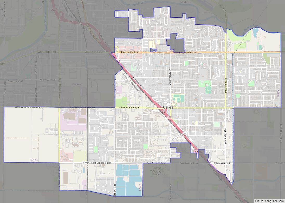
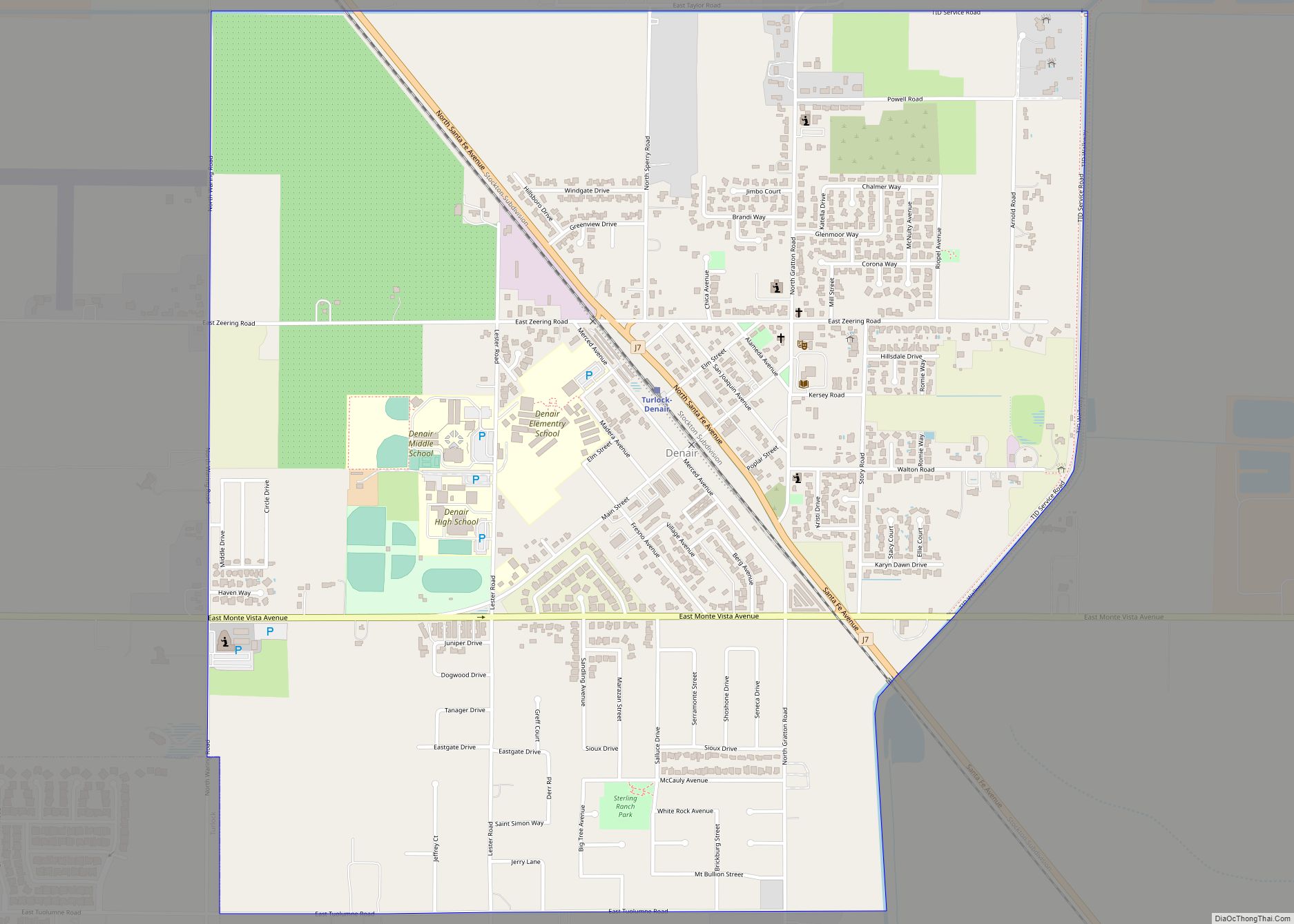
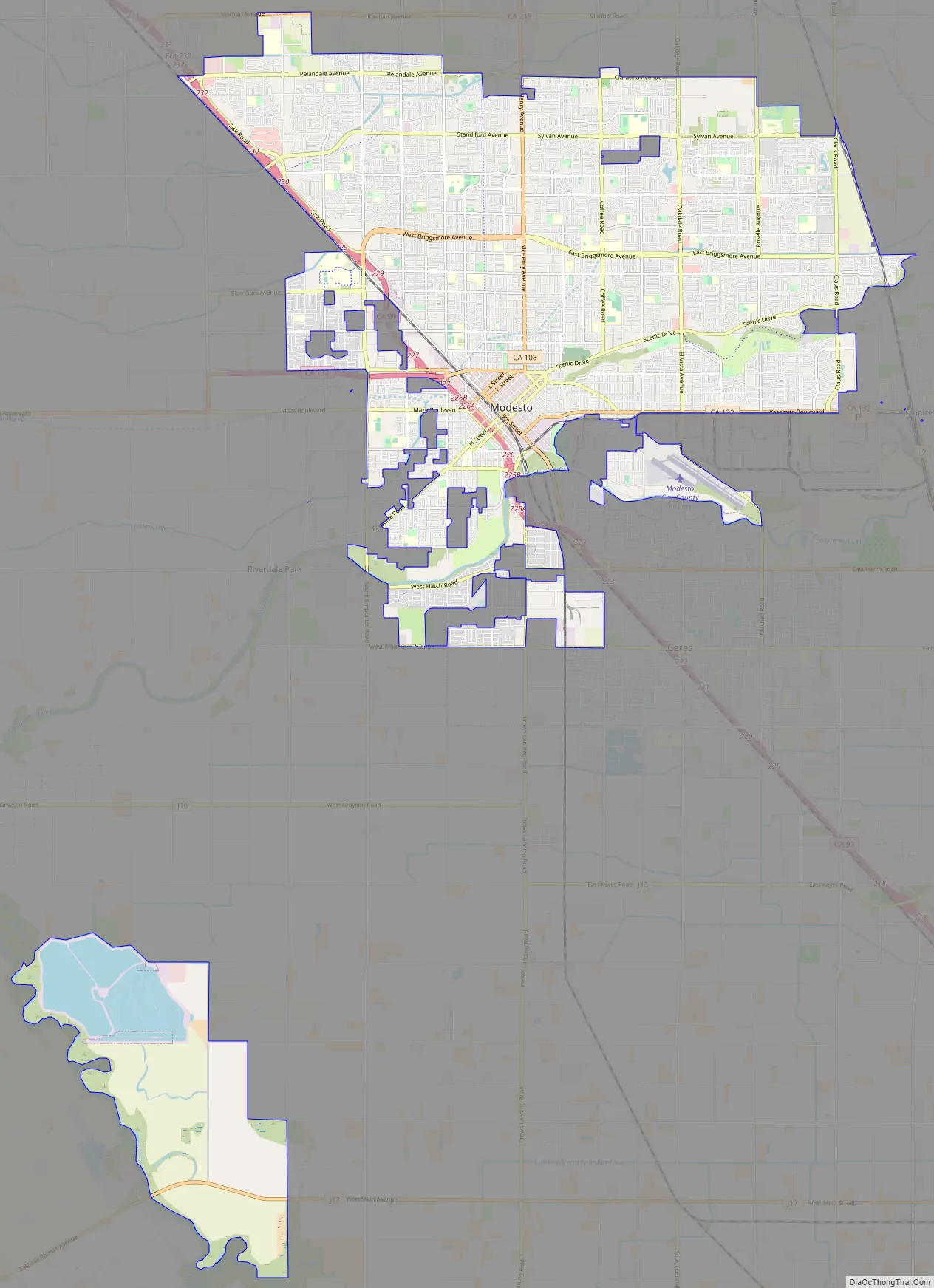
Online Interactive Map
Click on ![]() to view map in "full screen" mode.
to view map in "full screen" mode.
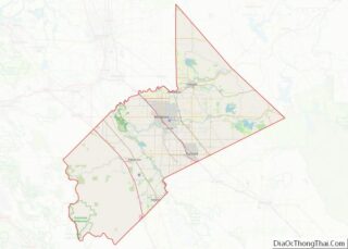
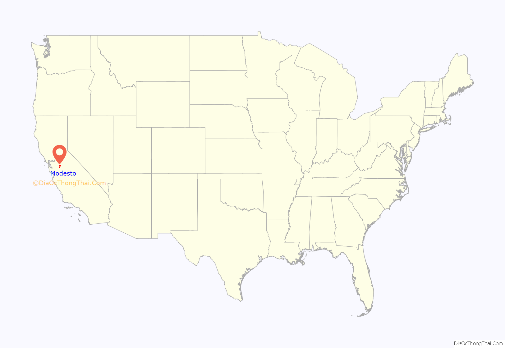
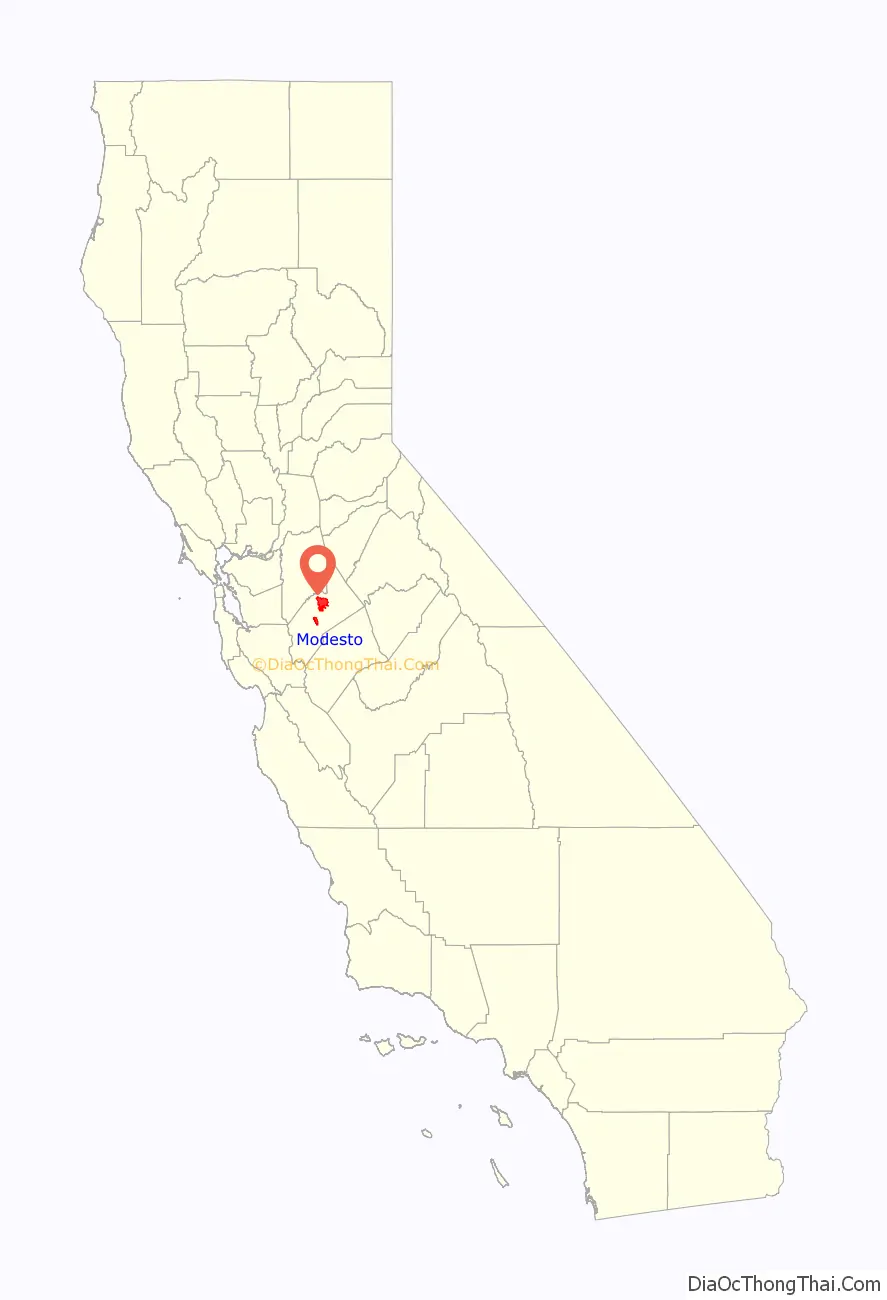
Modesto location map. Where is Modesto city?
History
The City of Modesto was originally a stop on the railroad connecting Sacramento to Los Angeles, built by Central Pacific Railroad. When Modesto was founded in 1870, the railroad company co-founder Mark Hopkins Jr. suggested to name it after his associate the banker William C. Ralston. Ralston asked that another name be found, and a railroad employee exclaimed loudly in Spanish that Ralston was a modest man. The railroad company co-founder Charles Crocker then named the town Modesto in recognition of Ralston’s modesty.
Modesto’s population exceeded 1,000 residents in 1884. With fields of grain, the nearby Tuolumne River for grain barges, and railroad traffic, the town grew. Irrigation water came from dams installed in the foothills, and irrigated fields of vegetables and fruit and nut trees flourished. By 1900, Modesto’s population was more than 4,500. During World War II, the area provided canned goods, powdered milk, and eggs for the US armed forces and Allied forces. For the next few decades, Modesto’s population grew about two percent per year to over 100,000 in 1980, and over 200,000 in 2001.
The city’s official motto, “Water Wealth Contentment Health,” is emblazoned on the downtown Modesto Arch, which is featured in local photographs and postcards. The motto was selected in a contest held in 1911, with a $3 prize for the winner. (The original winning motto, “Nobody’s got Modesto’s goat”, was later declined by town officials.) Modesto’s motto is sometimes spoofed as “The land gets the water, the bankers get the wealth, the cows get contentment, and the farmers get the health.”
Planning and environment
In 1885, Modesto enacted what is now considered to be the first zoning ordinance. The ordinance’s primary goal was to keep laundries (which were primarily Chinese run), out of the city. After an arrested man filed to contest the constitutionality of the ordinance, the case escalated to the California Supreme Court which found the law to be constitutional.
In the late 1980s Modesto embarked on an update to the city’s general plan pursuant to requirements of the State of California. The result was a comprehensive evaluation of alternative population and land use projections along with associated environmental impact analysis. Some of the environmental factors technically assessed were air quality, water quality, environmental noise, soil contamination and visual impacts.
Much of the soils in Modesto are classified as part of the Hanford series: (HbpA) fine sandy loam, moderately deep over silt. These soils are well-drained, moderately coarse-textured soils derived from alluvium from granitic rock. The Hanford soils are important for the production of a wide variety of irrigated orchard, field, and truck crops.
Vicinity watercourses include the Stanislaus River, the Tuolumne River and Dry Creek empties into the Tuolumne River. Area groundwater, which is the principal source of water supply in the city, has been historically impaired in a fashion that is spatially variable. Water from the nearby Modesto Reservoir is now used to augment city water. In various parts of the city and its perimeter the following water pollutants have occurred from time to time: nitrates, dibromochloromethane, volatile organics, salinity, total dissolved solids and other pesticides. Each of these contaminants is not present citywide.
The EPA rates air quality in Modesto as a 23 on a scale to 100 (higher is better), making Modesto an unhealthy place to live for those with breathing difficulties. This is based on ozone alert days and number of pollutants in the air. In May 2010, Forbes magazine, in association with the American Lung Association, indicated that Modesto was one of the top 25 most polluted cities in the U.S.
Downtown revitalization
As of the 2000s, downtown Modesto (DOMO) has new attractions including the Gallo Center for the Arts and the new Downtown Plaza adjacent to Modesto Centre Plaza. Downtown Modesto has lost the Hotel Covell, the art deco Strand Theatre, and the Sears building.
The historic streets of 10th and 11th streets that were the original locations of the cruising featured in American Graffiti have been designated by the City of Modesto as the Historic Cruise Route. This is now a tourist walk with information about Modesto’s music, car and Graffiti culture.
In 2014, the Walk of Fame was launched on the Historic Cruise Route with markers celebrating classic legends like George Lucas, Gene Winfield, Bart Bartoni and others.
Classic Community Murals was launched by Modesto magazine ModestoView and the Peer Recovery Art Center to create a series of large scale murals celebrating the Modesto Classic Graffiti heritage. Many of these are on the Cruise Route.
New business incentives have been created to enhance facades, signage, and permitting. A promenade is being designed to create a special entertainment zone along the corridor between the Modesto Centre Plaza and the Gallo Center for the Arts and the adjacent core streets of 10th, 11th and J Streets.
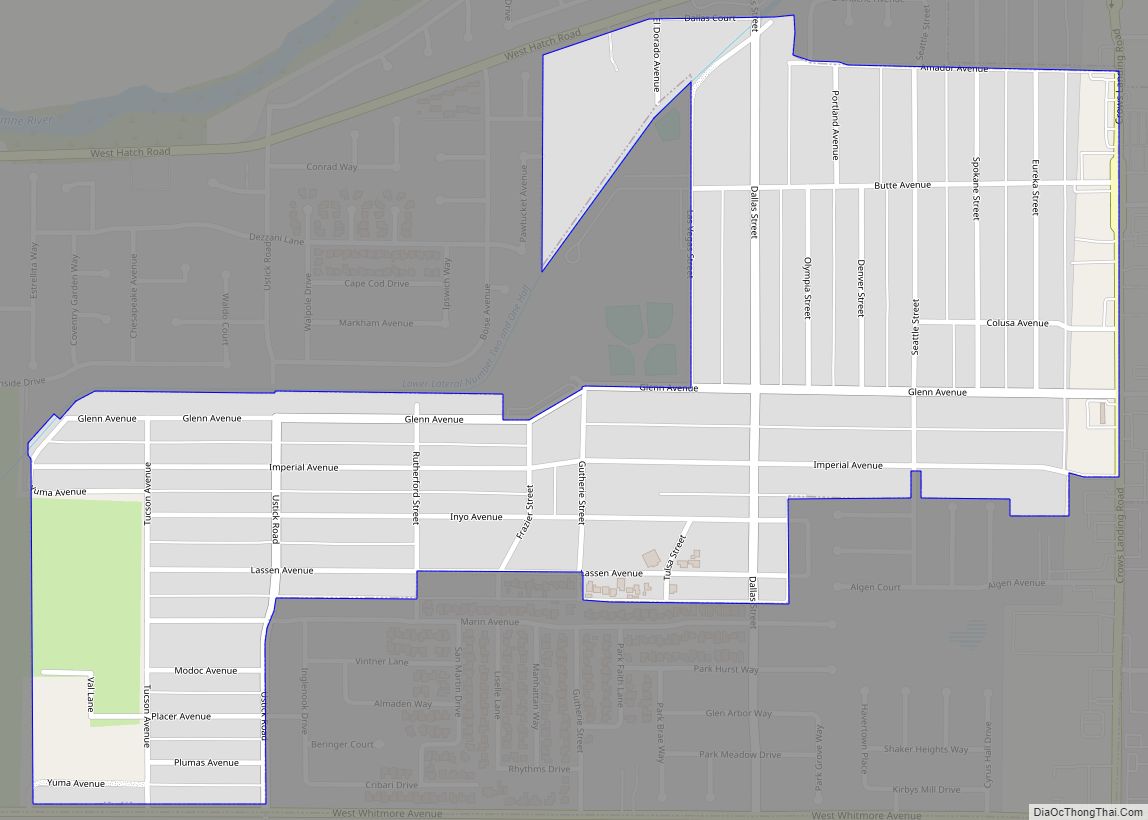
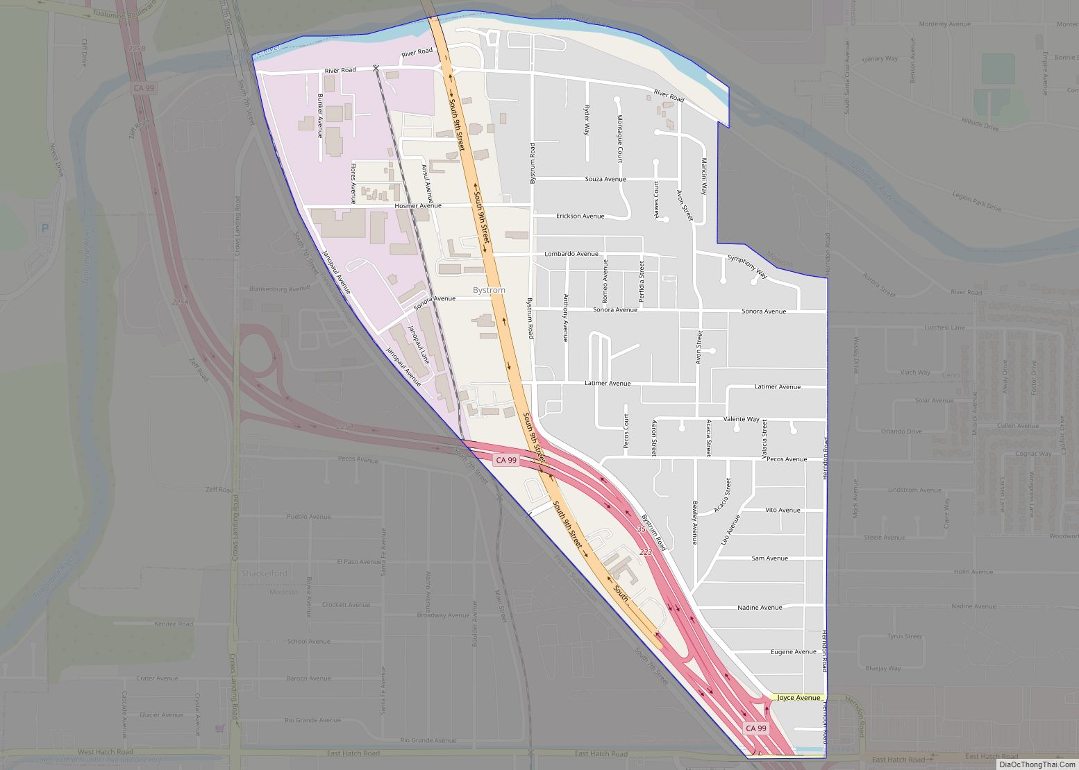
Modesto Road Map
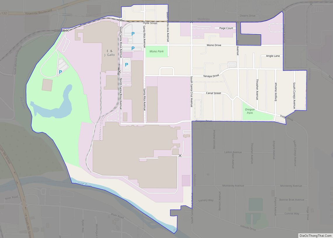
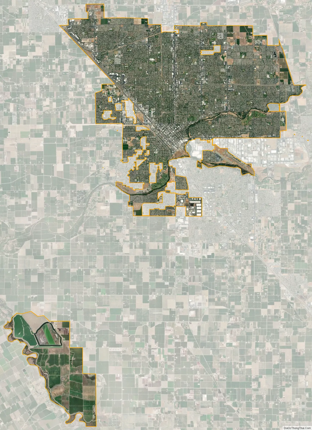
Modesto city Satellite Map
Geography
Modesto is located in the center of the Central Valley surrounded by the Coastal Ranges and the Sierra Nevada, and closeby, the numerous farmlands that produce a majority of several crops for the United States. There are also grassy and tree-filled preserves nearby. The city is in between the Tuolumne River and the nearby Stanislaus River. There is a small creek named Dry Creek, which is badly polluted by agricultural runoff and is adjacent to several parks. Rivers and lakes near Waterford are accessible for a kayak, or small motorboat, and there are several points of public access. This access was given as part of a government plan when hydroelectric power dams were installed upstream for flood control, irrigation, and electric power generation. The nearest large open seaport is the Port of Stockton, used for oceangoing ships that transport goods, particularly cement, fertilizer, and agricultural products, from California to overseas.
Climate
Modesto has a borderline cold semi-arid climate(Bsh) and hot-summer Mediterranean climate (Csa) under the Köppen climate classification. It has cool to mild winters with moderate rainfall and hot, dry summers. Average January temperatures range from 56 °F (13 °C) in the day to 35 °F (2 °C) at night. Most of the rainfall occurs during the winter and the annual total is 13.2 in (340 mm). The highest rainfall in a season was 26.01 in (661 mm) in 1982-83 and the lowest being 4.3 in (110 mm) in 1912-1913. The city does not have a full storm sewer system, and many streets flood during winter rain storms. Usually on average the weather does not go below 30°F and not above 103°F.
Average July temperatures range from 95 °F (35 °C) in the day to 63 °F (17 °C) at night. During the summer months there can be multiple days in a row with high temperatures exceeding 100 °F (38 °C). This can pose health risks for people with weak constitutions or who ignore the dangers of heat stroke. Onshore breezes (known locally as the “delta breeze”) moderate these high temperatures somewhat, with cooler air coming in after 8 or 9 pm on summer nights, making Modesto potentially a couple or few degrees cooler than the northern and southern parts of the Central Valley.
See also
Map of California State and its subdivision:- Alameda
- Alpine
- Amador
- Butte
- Calaveras
- Colusa
- Contra Costa
- Del Norte
- El Dorado
- Fresno
- Glenn
- Humboldt
- Imperial
- Inyo
- Kern
- Kings
- Lake
- Lassen
- Los Angeles
- Madera
- Marin
- Mariposa
- Mendocino
- Merced
- Modoc
- Mono
- Monterey
- Napa
- Nevada
- Orange
- Placer
- Plumas
- Riverside
- Sacramento
- San Benito
- San Bernardino
- San Diego
- San Francisco
- San Joaquin
- San Luis Obispo
- San Mateo
- Santa Barbara
- Santa Clara
- Santa Cruz
- Shasta
- Sierra
- Siskiyou
- Solano
- Sonoma
- Stanislaus
- Sutter
- Tehama
- Trinity
- Tulare
- Tuolumne
- Ventura
- Yolo
- Yuba
- Alabama
- Alaska
- Arizona
- Arkansas
- California
- Colorado
- Connecticut
- Delaware
- District of Columbia
- Florida
- Georgia
- Hawaii
- Idaho
- Illinois
- Indiana
- Iowa
- Kansas
- Kentucky
- Louisiana
- Maine
- Maryland
- Massachusetts
- Michigan
- Minnesota
- Mississippi
- Missouri
- Montana
- Nebraska
- Nevada
- New Hampshire
- New Jersey
- New Mexico
- New York
- North Carolina
- North Dakota
- Ohio
- Oklahoma
- Oregon
- Pennsylvania
- Rhode Island
- South Carolina
- South Dakota
- Tennessee
- Texas
- Utah
- Vermont
- Virginia
- Washington
- West Virginia
- Wisconsin
- Wyoming