Lake Hughes is an unincorporated community in northern Los Angeles County, California. It is in the Sierra Pelona Mountains, northwest of Palmdale and north of the Santa Clarita Valley, in the Angeles National Forest. It is on the sag pond waters of Lake Hughes and Elizabeth Lake. The community is rural in character, with a population of 649 in 2010, but also has a strong recreational element centered on the three lakes in the vicinity. The community of Elizabeth Lake is located just east of Lake Hughes, sharing the same ZIP code.
| Name: | Lake Hughes CDP |
|---|---|
| LSAD Code: | 57 |
| LSAD Description: | CDP (suffix) |
| State: | California |
| County: | Los Angeles County |
| Elevation: | 3,228 ft (984 m) |
| Total Area: | 10.687 sq mi (27.680 km²) |
| Land Area: | 10.623 sq mi (27.514 km²) |
| Water Area: | 0.064 sq mi (0.166 km²) 0.60% |
| Total Population: | 649 |
| Population Density: | 61/sq mi (23/km²) |
| ZIP code: | 93532 |
| Area code: | 661 |
| FIPS code: | 0639556 |
Online Interactive Map
Click on ![]() to view map in "full screen" mode.
to view map in "full screen" mode.
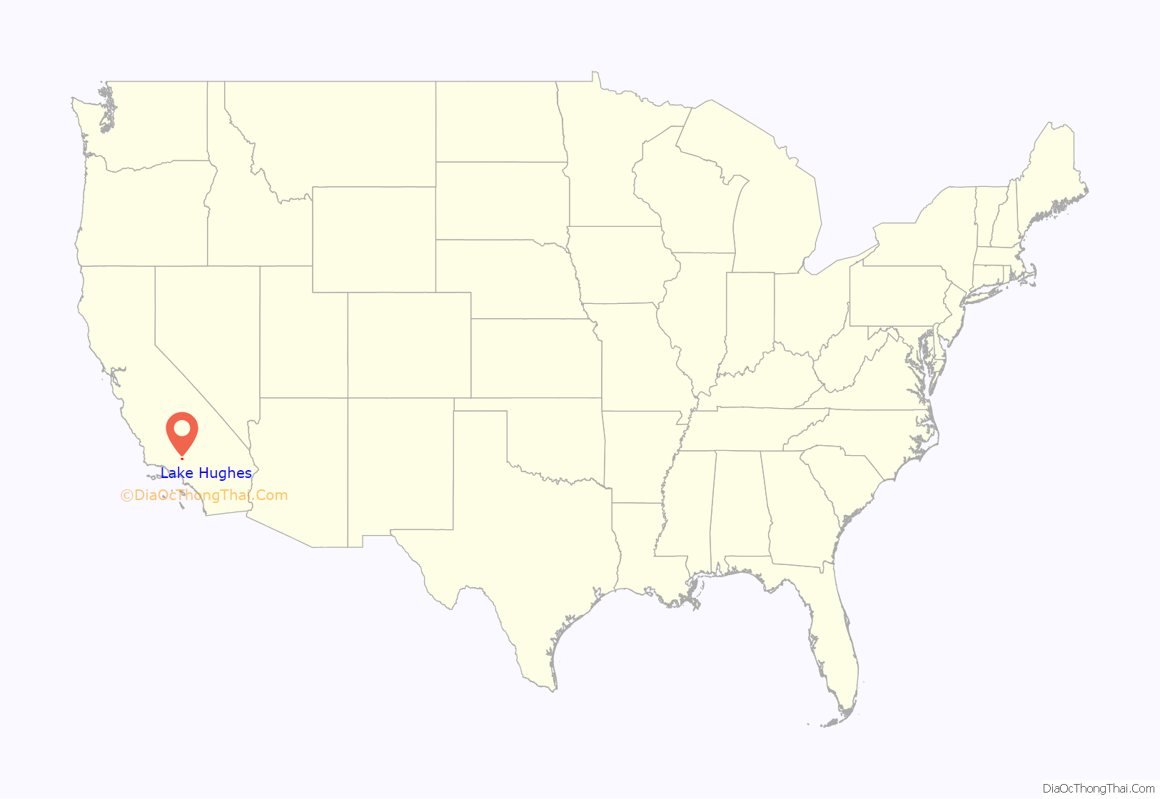
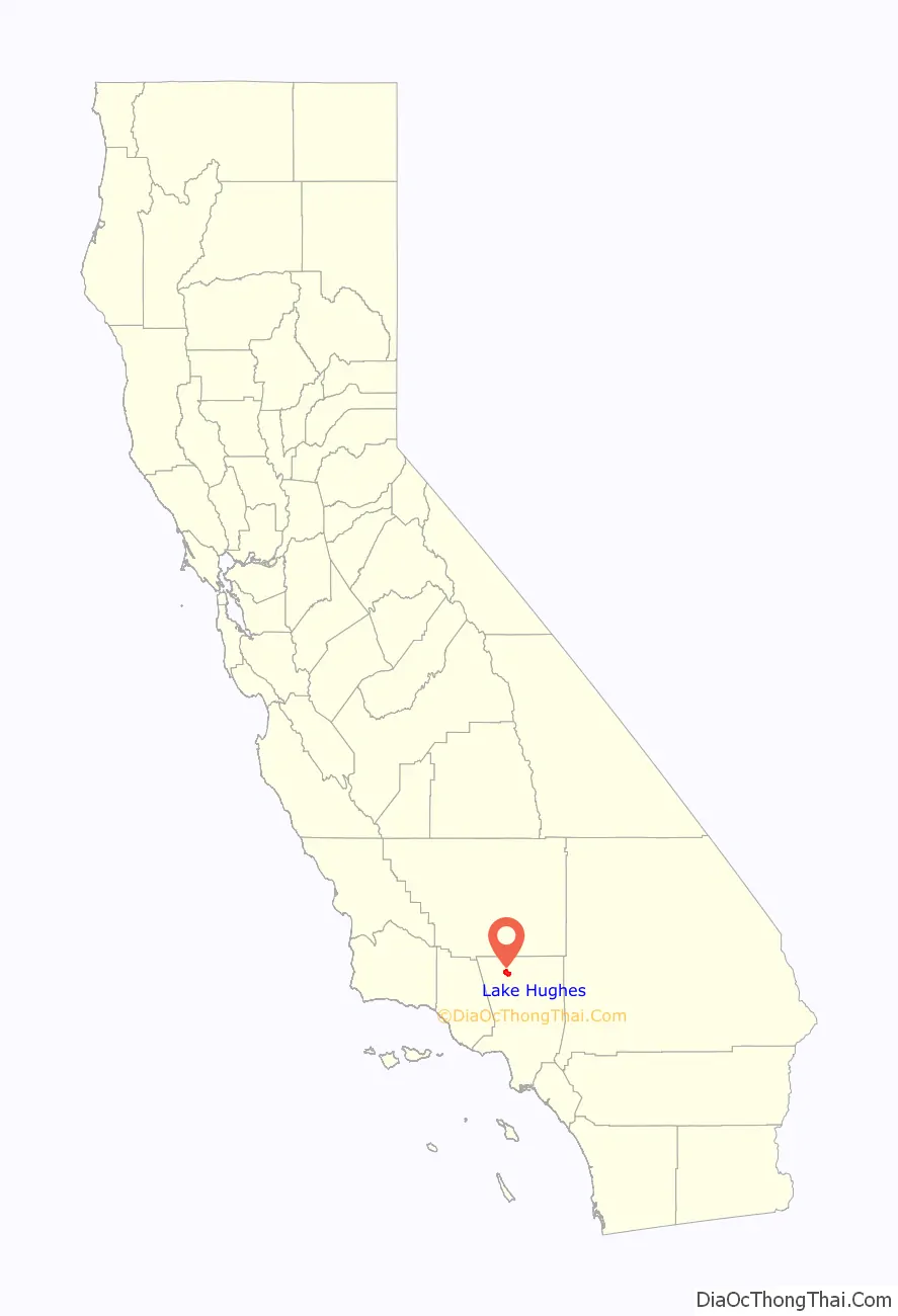
Lake Hughes location map. Where is Lake Hughes CDP?
History
Nearby Elizabeth Lake, known then as La Laguna de Chico Lopez, was a watering locale on Spanish colonial and Mexican El Camino Viejo in Alta California and the Gold Rush era Stockton – Los Angeles Road. From 1858 to 1861, Lake Hughes was on the route of the Butterfield Overland Mail, between the Widow Smith’s Station and Mud Spring stage stops. The lake area was to the west of Rancho La Liebre, an 1846 Mexican land grant now part of Tejon Ranch.
Lake Hughes was named for Judge Griffith (Patrick) Hughes, who homesteaded the area around the turn of the 20th century. Settlers were drawn to the area because water was more plentiful than in the drier Antelope Valley.
In 1907 William Mulholland, superintendent of the Los Angeles Department of Water and Power, started work on the Elizabeth Lake Tunnel for transporting water in the Los Angeles Aqueduct from Owens Valley to Los Angeles. Less than a half a mile east of Lake Hughes, the five-mile-long (8 km) tunnel is 285 feet (87 m) under the valley floor. The tunnel was driven from both ends. The north portal is at Fairmont Reservoir and the south in Bear Canyon (now Portal Canyon) just off of Green Valley. This 11-foot-wide (3.4 m) tunnel was driven 27,000 ft (8.2 km) through solid rock and met in the center within 1+1⁄2 inches (3.8 cm) in line and 5⁄8 inch (1.6 cm) in depth. Work was around the clock and averaged about 11 feet (3.4 m) per day. The Elizabeth Lake Tunnel was the largest single construction project on the Los Angeles Aqueduct and set speed records in its day.
C.A. Austin promoted Lake Hughes as a summer resort in 1924, as a “fine mountain resort on the edge of Antelope Valley.”
The 2020 Lake fire was also first reported here.
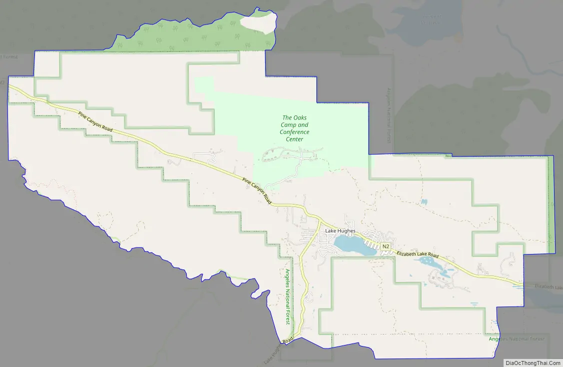
Lake Hughes Road Map
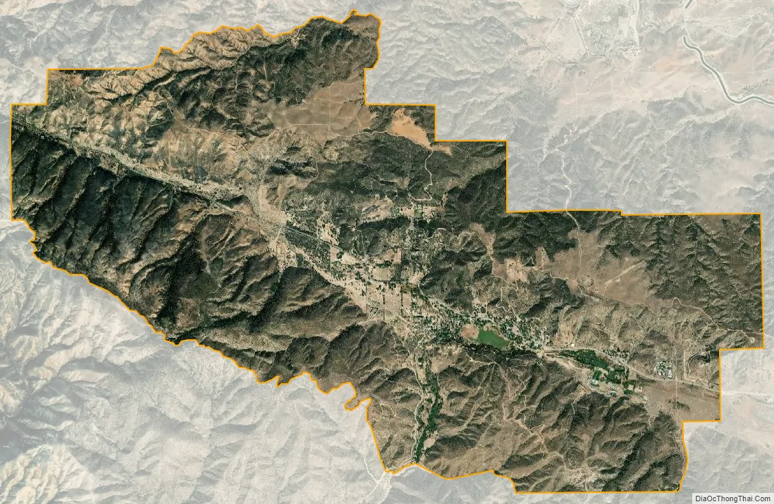
Lake Hughes city Satellite Map
Geography
Lake Hughes is generally centered on the intersection of Elizabeth Lake Road and Lake Hughes Road, both of which are county highways. Hughes Lake and Munz Lakes are located within the community. In addition, a third lake, Lake Elizabeth is located just to the east within the community of Elizabeth Lake. Lakes Hughes and Lake Elizabeth are in the canyons along the San Andreas Fault. Both lakes periodically dry up depending on rainfall cycles. Lake Hughes was previously known as West Elizabeth Lake.
Climate
Lake Hughes has a warm-summer Mediterranean climate. It’s location in the San Gabreil Mountains allows for more moderate and less extreme temperatures and more precipitation in contrast to the neighboring Mojave Desert. Summers are warm to hot and dry with highs normally at 90°F and lows in the mid 60s. Winters are cooler and rainer as the temperatures commonly reach below 32°F with highs in the low 50s . Lake Hughes mainly receives precipitation between October and April with an average of 18 inches per year while snowfall amounts are very small but not unseen as the seasonal average is only around 5 inches.
See also
Map of California State and its subdivision:- Alameda
- Alpine
- Amador
- Butte
- Calaveras
- Colusa
- Contra Costa
- Del Norte
- El Dorado
- Fresno
- Glenn
- Humboldt
- Imperial
- Inyo
- Kern
- Kings
- Lake
- Lassen
- Los Angeles
- Madera
- Marin
- Mariposa
- Mendocino
- Merced
- Modoc
- Mono
- Monterey
- Napa
- Nevada
- Orange
- Placer
- Plumas
- Riverside
- Sacramento
- San Benito
- San Bernardino
- San Diego
- San Francisco
- San Joaquin
- San Luis Obispo
- San Mateo
- Santa Barbara
- Santa Clara
- Santa Cruz
- Shasta
- Sierra
- Siskiyou
- Solano
- Sonoma
- Stanislaus
- Sutter
- Tehama
- Trinity
- Tulare
- Tuolumne
- Ventura
- Yolo
- Yuba
- Alabama
- Alaska
- Arizona
- Arkansas
- California
- Colorado
- Connecticut
- Delaware
- District of Columbia
- Florida
- Georgia
- Hawaii
- Idaho
- Illinois
- Indiana
- Iowa
- Kansas
- Kentucky
- Louisiana
- Maine
- Maryland
- Massachusetts
- Michigan
- Minnesota
- Mississippi
- Missouri
- Montana
- Nebraska
- Nevada
- New Hampshire
- New Jersey
- New Mexico
- New York
- North Carolina
- North Dakota
- Ohio
- Oklahoma
- Oregon
- Pennsylvania
- Rhode Island
- South Carolina
- South Dakota
- Tennessee
- Texas
- Utah
- Vermont
- Virginia
- Washington
- West Virginia
- Wisconsin
- Wyoming


