Lake Los Angeles is a census-designated place (CDP) in Los Angeles County, California, United States. The population was 12,328 at the 2010 census, up from 11,523 at the 2000 census. It is located 17 miles (27 km) east of Palmdale’s Civic Center. According to the Greater Antelope Valley Economic Alliance report of 2009, the Palmdale / Lancaster urban area has a population of 483,998, of which Lake Los Angeles is a part.
| Name: | Lake Los Angeles CDP |
|---|---|
| LSAD Code: | 57 |
| LSAD Description: | CDP (suffix) |
| State: | California |
| County: | Los Angeles County |
| Elevation: | 2,661 ft (811 m) |
| Total Area: | 9.790 sq mi (25.355 km²) |
| Land Area: | 9.741 sq mi (25.229 km²) |
| Water Area: | 0.049 sq mi (0.126 km²) 0.5% |
| Total Population: | 12,328 |
| Population Density: | 1,300/sq mi (490/km²) |
| ZIP code: | 93535 (North of Avenue O) & 93591 (South of Avenue O) |
| Area code: | 661 |
| FIPS code: | 0639612 |
| GNISfeature ID: | 1666854 |
Online Interactive Map
Click on ![]() to view map in "full screen" mode.
to view map in "full screen" mode.
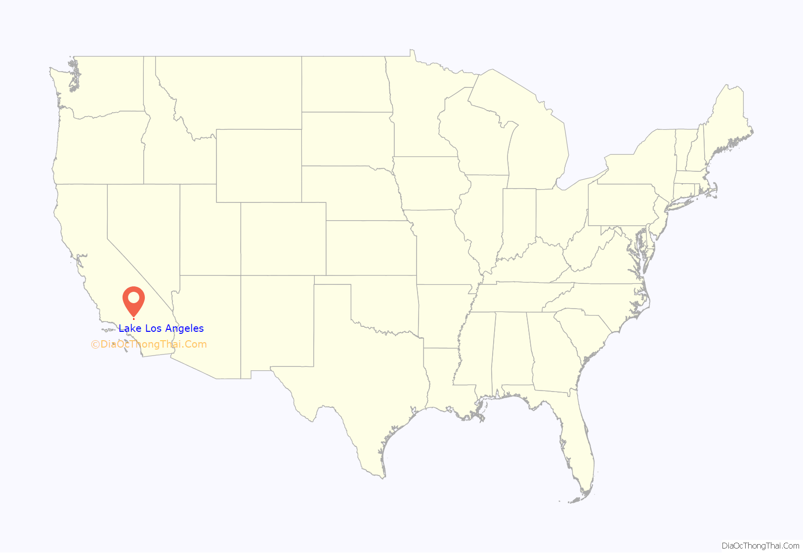
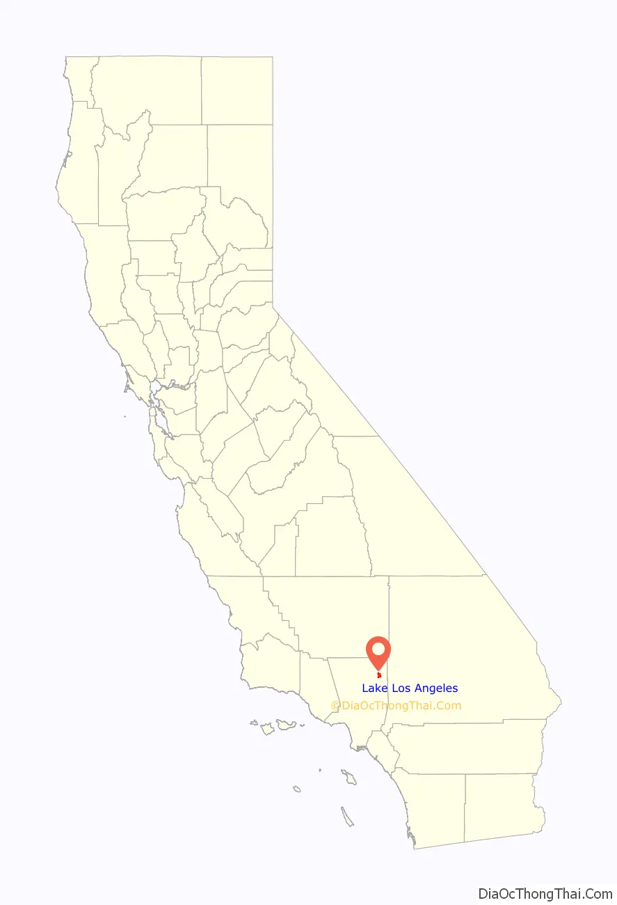
Lake Los Angeles location map. Where is Lake Los Angeles CDP?
History
The region was once called Los Angeles Buttes, since they were the only ones in the northern part of the county. The eponymous lakes (one dedicated to fishing and one dedicated to swimming and boating) have dried up. The fishing lake was stocked with trout, bass and catfish. In 1967, during the 1960s land speculation boom in the Antelope Valley, land developers bought 4,000 acres (16 km) in the region, subdivided it into 4,465 lots, and artificially refilled the natural lake and named it Lake Los Angeles as an enticement to land buyers. Advertisements showed a water skier on the lake (which was probably no more than 5 feet deep) and a showcase home on the top of the nearby hill, giving the impression of a resort town. There was a country club and a high-end restaurant that overlooked the large recreational lake. There was also a small store/bar and grill. Streets were named Biglake Avenue, Lakespring Avenue and Longmeadow Avenue to draw attention away from the fact that the town was in fact a barren desert used for filming westerns. The lake was left to evaporate in the early 1980s after the initial developers sold their interests. Much of the land was sold to buyers who never visited the area. There are efforts to refill the lake, but the main obstacle has been funding.
The film history of the region dates back to 1938. Numerous movies, serials, commercials and television series were filmed in Lake Los Angeles for decades. Filmed segments and stock footage of “Bonanza” episodes made at the region include “The Mission”, “Gallagher’s Sons”, “Twilight Town”, “Big Shadow on the Land”, “The Deed and the Dilemma”, “The Oath”, “Second Chance” and “Meena.” Lake Los Angeles has two filming locations named “Four Aces Movie Location” (located on the northwest corner of 145th Street East and Avenue Q) and “Club Ed” (located east of 150th Street East between Avenue N and Avenue K). Both locations and surrounding areas have been used for television series, feature films, music videos, and television commercials.
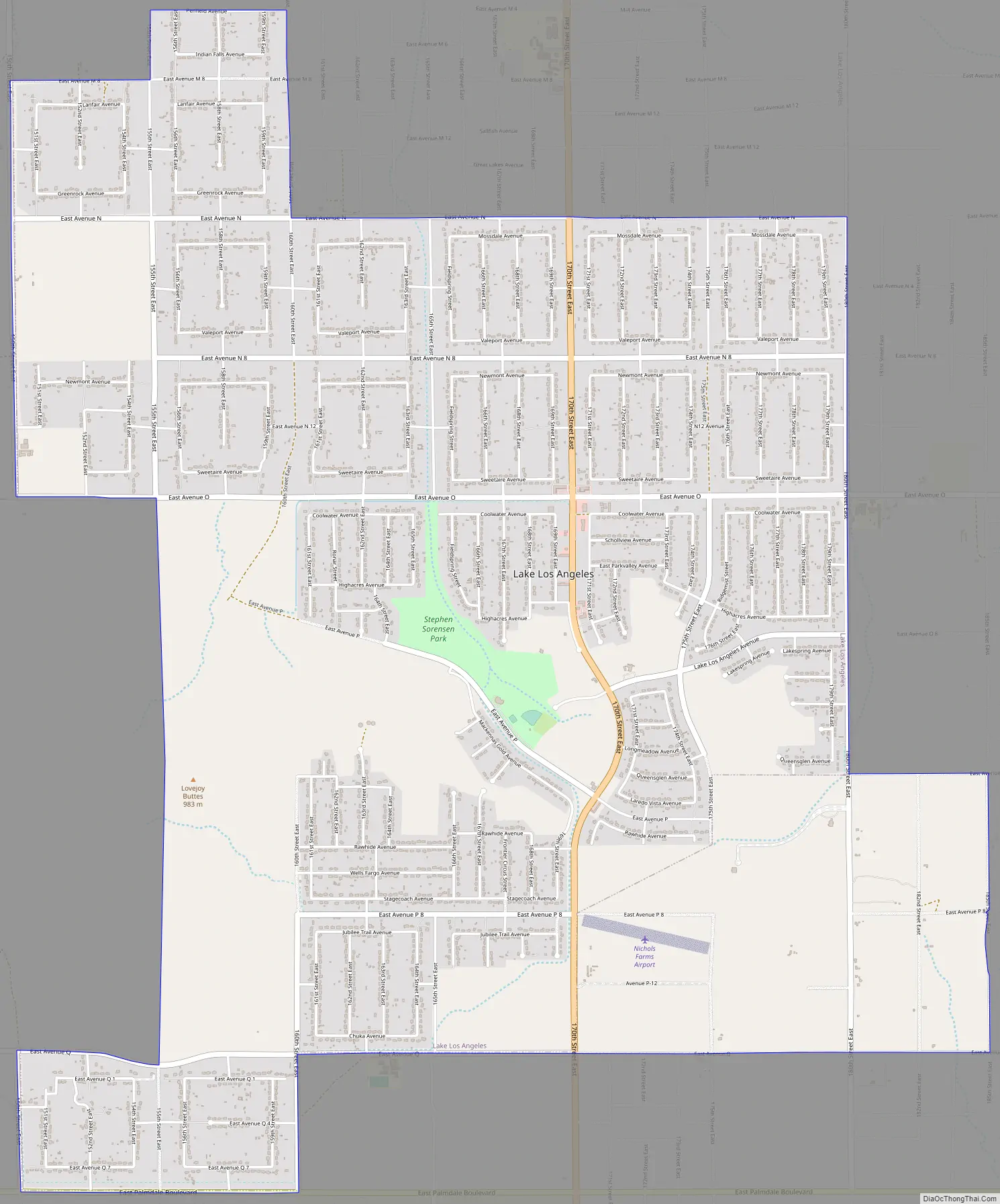
Lake Los Angeles Road Map
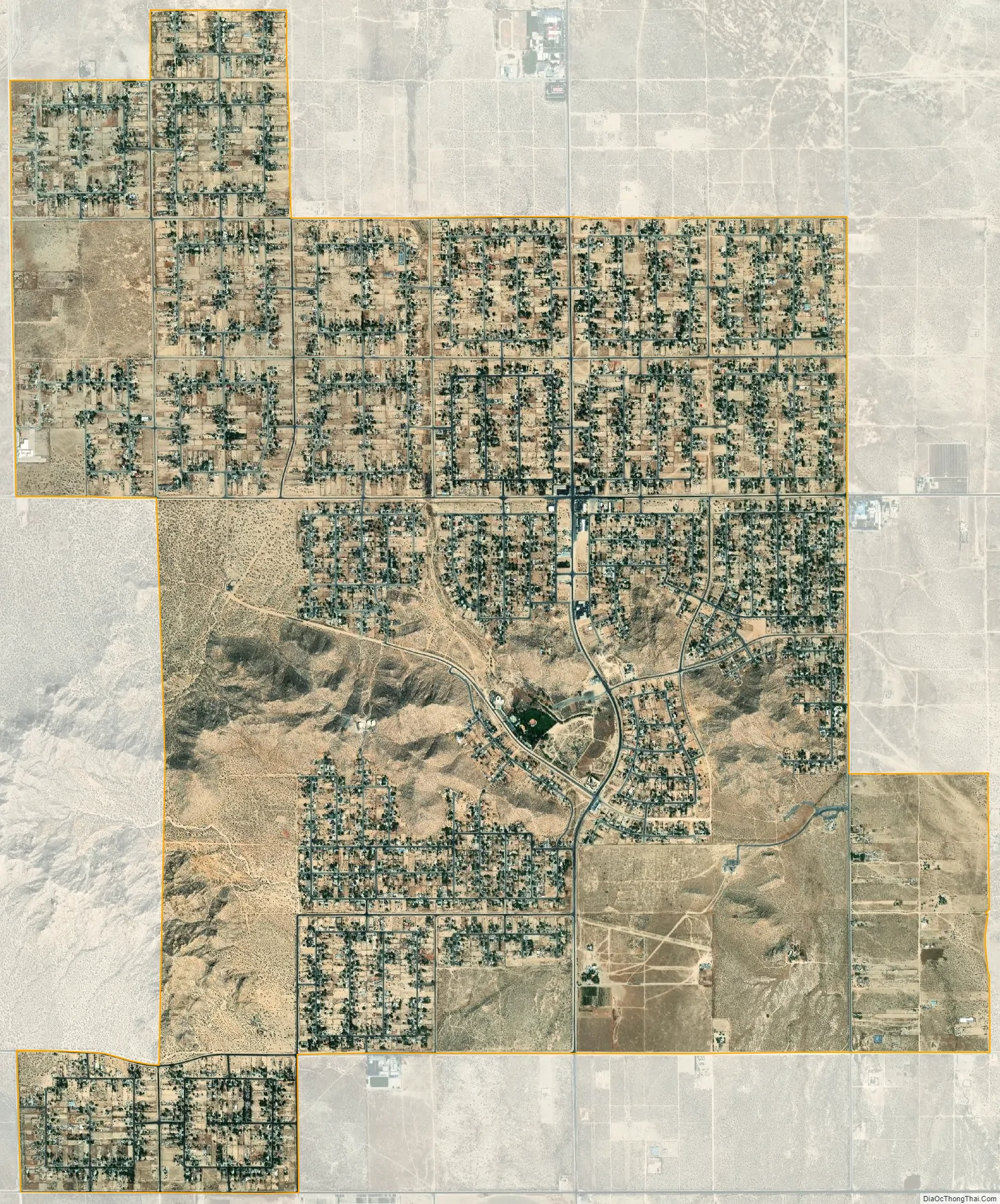
Lake Los Angeles city Satellite Map
See also
Map of California State and its subdivision:- Alameda
- Alpine
- Amador
- Butte
- Calaveras
- Colusa
- Contra Costa
- Del Norte
- El Dorado
- Fresno
- Glenn
- Humboldt
- Imperial
- Inyo
- Kern
- Kings
- Lake
- Lassen
- Los Angeles
- Madera
- Marin
- Mariposa
- Mendocino
- Merced
- Modoc
- Mono
- Monterey
- Napa
- Nevada
- Orange
- Placer
- Plumas
- Riverside
- Sacramento
- San Benito
- San Bernardino
- San Diego
- San Francisco
- San Joaquin
- San Luis Obispo
- San Mateo
- Santa Barbara
- Santa Clara
- Santa Cruz
- Shasta
- Sierra
- Siskiyou
- Solano
- Sonoma
- Stanislaus
- Sutter
- Tehama
- Trinity
- Tulare
- Tuolumne
- Ventura
- Yolo
- Yuba
- Alabama
- Alaska
- Arizona
- Arkansas
- California
- Colorado
- Connecticut
- Delaware
- District of Columbia
- Florida
- Georgia
- Hawaii
- Idaho
- Illinois
- Indiana
- Iowa
- Kansas
- Kentucky
- Louisiana
- Maine
- Maryland
- Massachusetts
- Michigan
- Minnesota
- Mississippi
- Missouri
- Montana
- Nebraska
- Nevada
- New Hampshire
- New Jersey
- New Mexico
- New York
- North Carolina
- North Dakota
- Ohio
- Oklahoma
- Oregon
- Pennsylvania
- Rhode Island
- South Carolina
- South Dakota
- Tennessee
- Texas
- Utah
- Vermont
- Virginia
- Washington
- West Virginia
- Wisconsin
- Wyoming


