Lake of the Pines is a census-designated place (CDP) and a gated residential community in Nevada County, California, United States. The population was 3,917 at the 2010 census.
| Name: | Lake of the Pines CDP |
|---|---|
| LSAD Code: | 57 |
| LSAD Description: | CDP (suffix) |
| State: | California |
| County: | Nevada County |
| Elevation: | 1,516 ft (462 m) |
| Total Area: | 1.846 sq mi (4.781 km²) |
| Land Area: | 1.495 sq mi (3.872 km²) |
| Water Area: | 0.351 sq mi (0.908 km²) 19.00% |
| Total Population: | 3,917 |
| Population Density: | 2,100/sq mi (820/km²) |
| ZIP code: | 95602 |
| Area code: | 530 |
| FIPS code: | 0639690 |
| GNISfeature ID: | 1682905 |
Online Interactive Map
Click on ![]() to view map in "full screen" mode.
to view map in "full screen" mode.
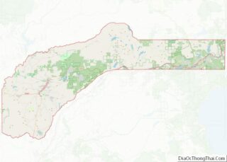
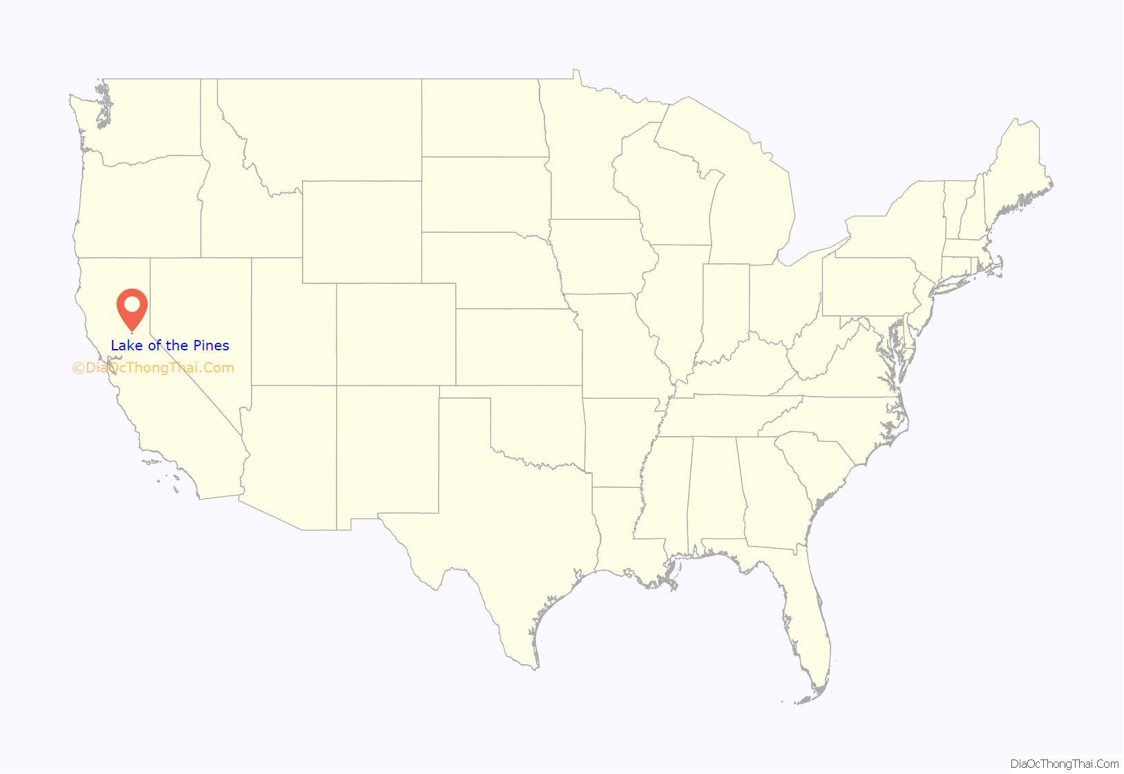
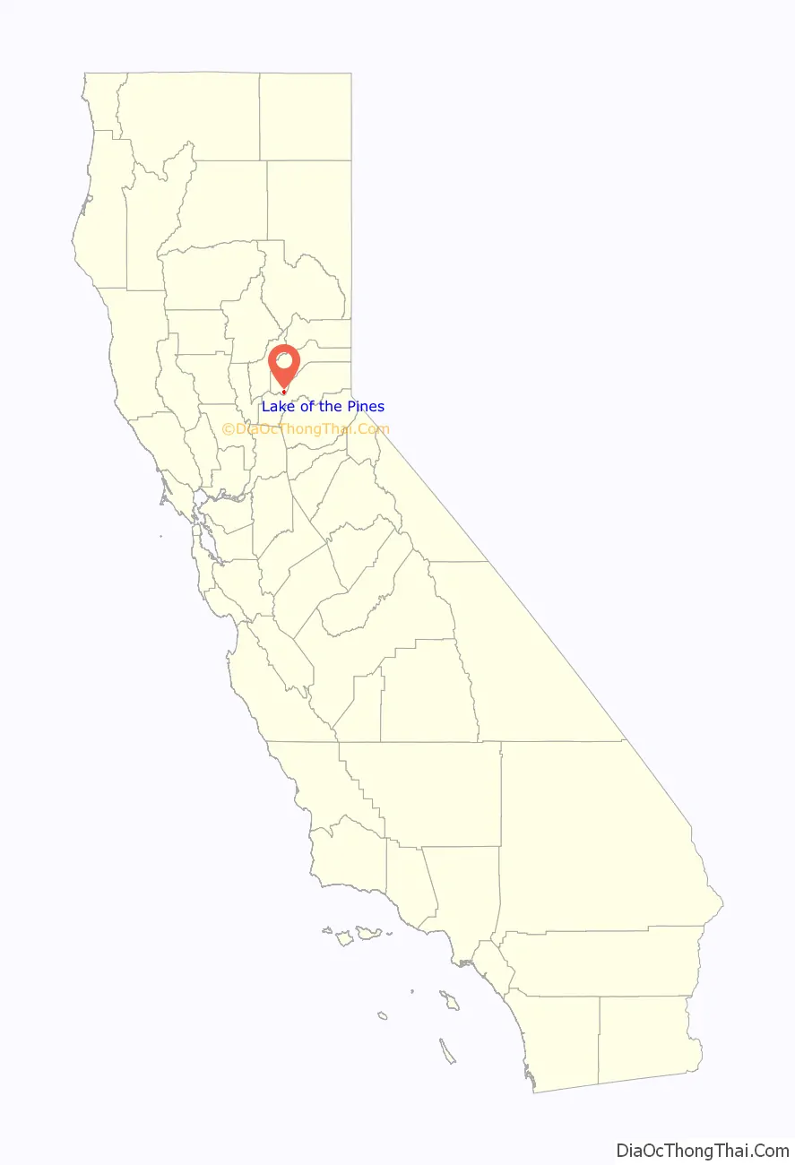
Lake of the Pines location map. Where is Lake of the Pines CDP?
History
Lake of the Pines was laid out by property developers in the 1960s.
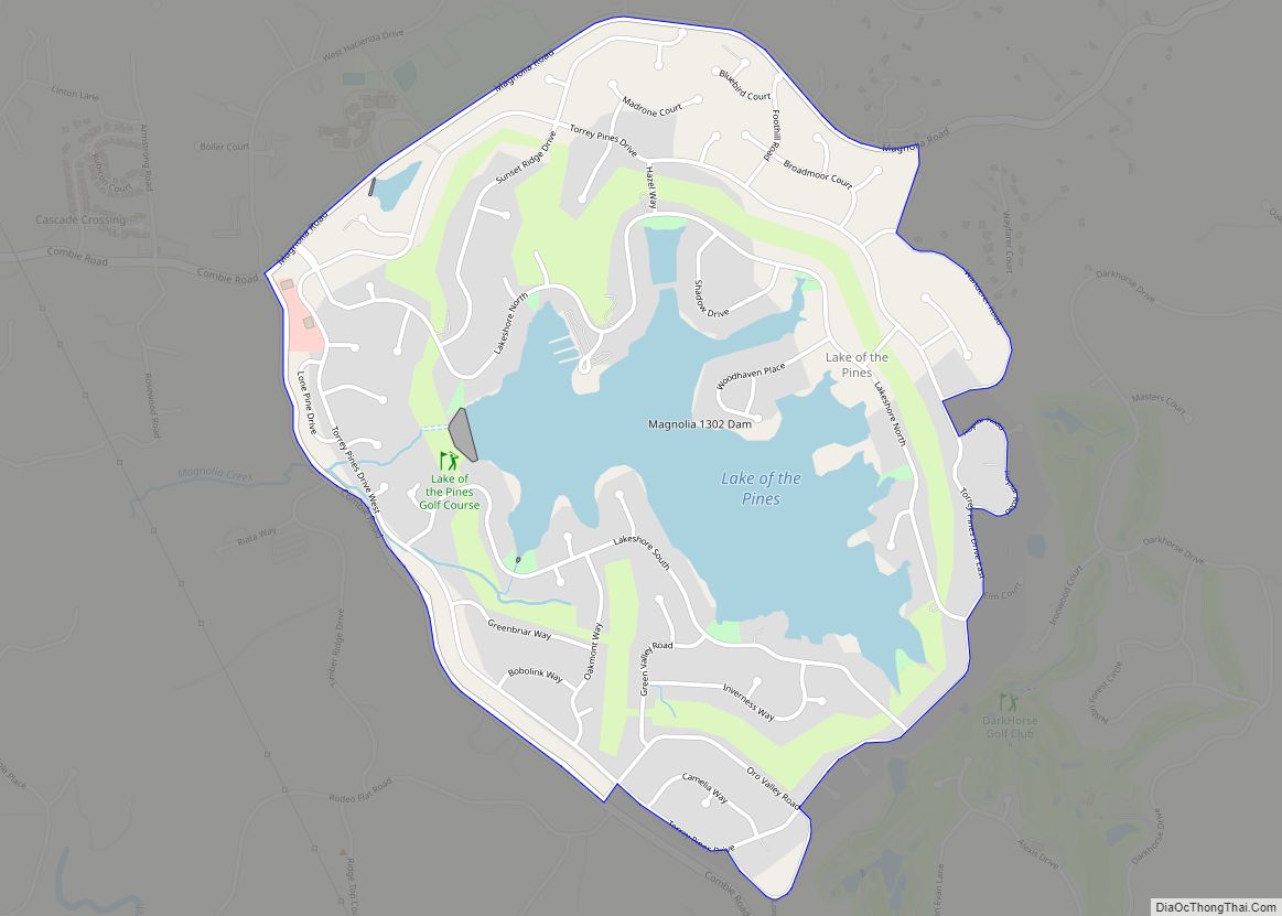
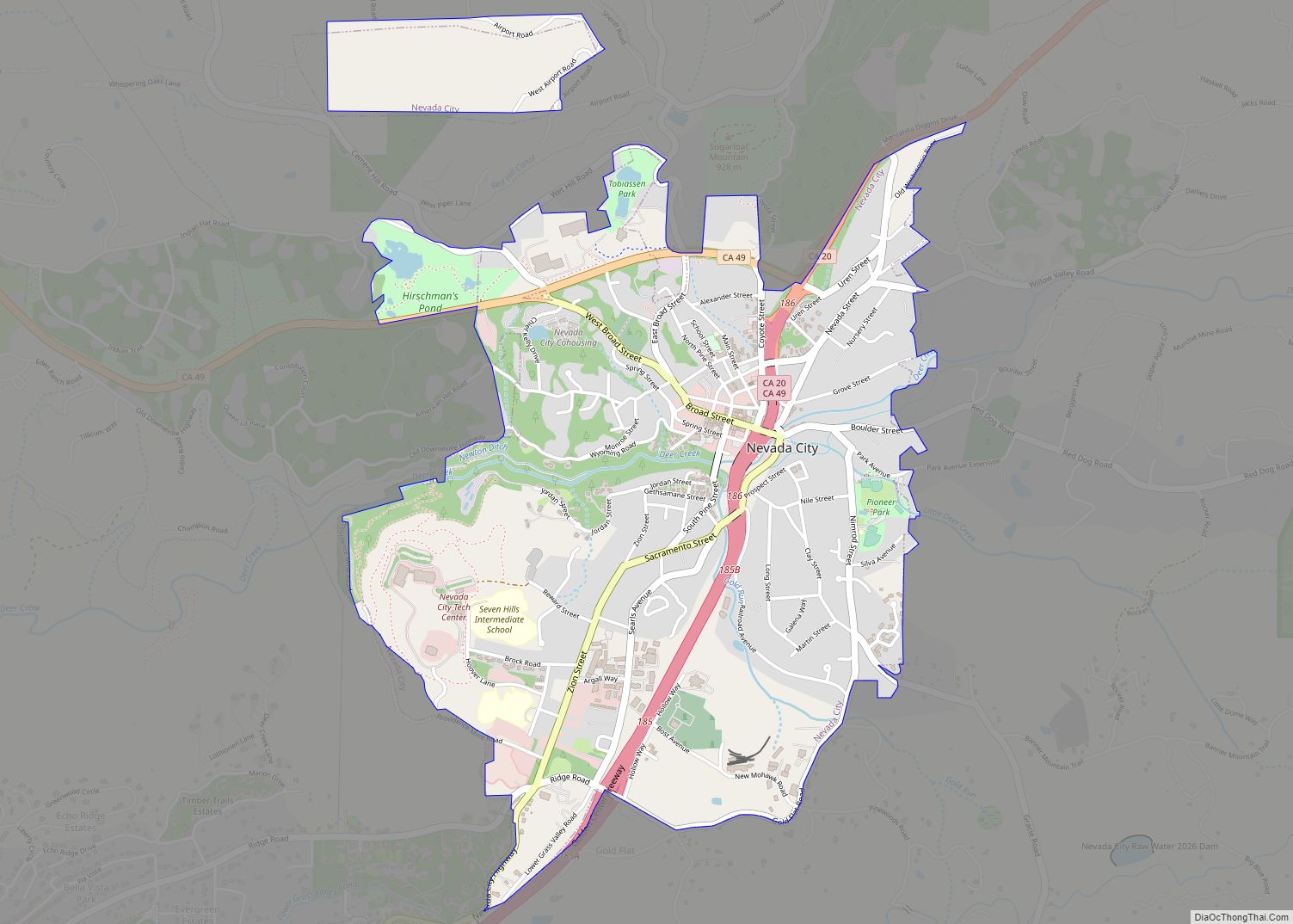
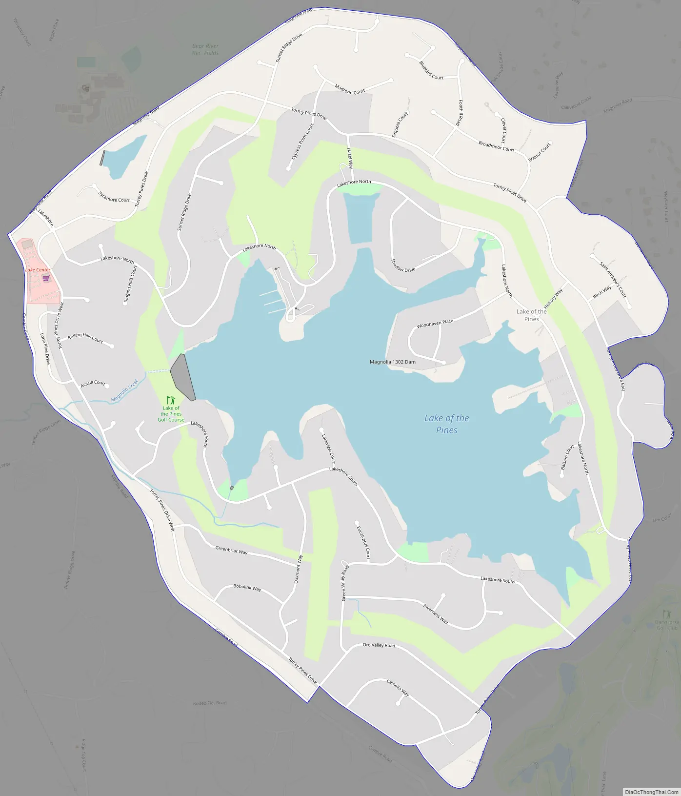
Lake of the Pines Road Map
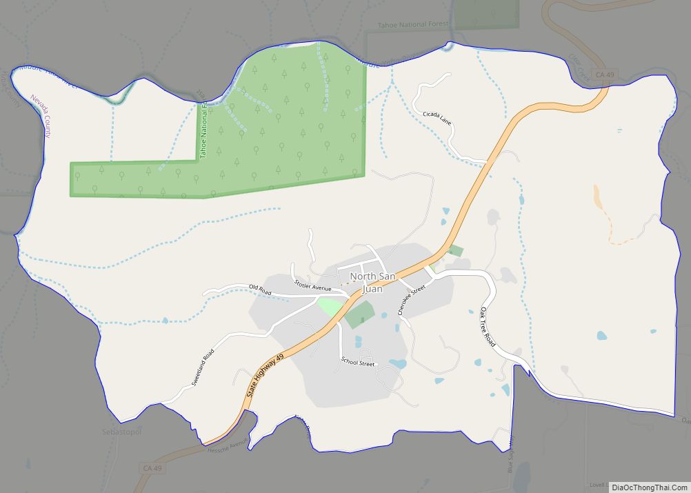
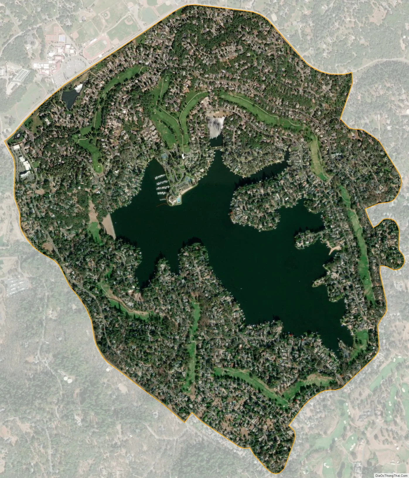
Lake of the Pines city Satellite Map
Geography
Lake of the Pines is located in the foothills of the Sierra Nevada mountain range in California, at 39°02′19″N 121°03′41″W / 39.038571°N 121.061354°W / 39.038571; -121.061354.
According to the United States Census Bureau, the CDP has a total area of 1.8 square miles (4.7 km), of which, 1.5 square miles (3.9 km) of it is land and 0.4 square miles (1.0 km) of it (19.00%) is water.
Lake of the Pines is commonly associated with a gated residential community which surrounds a reservoir, also named Lake of the Pines. The reservoir was created by damming Magnolia Creek, in the Bear River watershed, and it has a maximum elevation of 459 m (1507 ft). The gated community contains a golf course looping around the reservoir. The community is normally accessed only through the main entrance from Magnolia Road, just northeast of Combie Road.
The boundaries of the census-designated place differ slightly from the boundaries of the gated community. As the CDP boundaries tend to follow streets, the CDP excludes many parcels in the periphery of the gated community and includes a shopping center in Combie Road. In postal addresses, the area is considered a part of Auburn, though the city of Auburn is in Placer County.
See also
Map of California State and its subdivision:- Alameda
- Alpine
- Amador
- Butte
- Calaveras
- Colusa
- Contra Costa
- Del Norte
- El Dorado
- Fresno
- Glenn
- Humboldt
- Imperial
- Inyo
- Kern
- Kings
- Lake
- Lassen
- Los Angeles
- Madera
- Marin
- Mariposa
- Mendocino
- Merced
- Modoc
- Mono
- Monterey
- Napa
- Nevada
- Orange
- Placer
- Plumas
- Riverside
- Sacramento
- San Benito
- San Bernardino
- San Diego
- San Francisco
- San Joaquin
- San Luis Obispo
- San Mateo
- Santa Barbara
- Santa Clara
- Santa Cruz
- Shasta
- Sierra
- Siskiyou
- Solano
- Sonoma
- Stanislaus
- Sutter
- Tehama
- Trinity
- Tulare
- Tuolumne
- Ventura
- Yolo
- Yuba
- Alabama
- Alaska
- Arizona
- Arkansas
- California
- Colorado
- Connecticut
- Delaware
- District of Columbia
- Florida
- Georgia
- Hawaii
- Idaho
- Illinois
- Indiana
- Iowa
- Kansas
- Kentucky
- Louisiana
- Maine
- Maryland
- Massachusetts
- Michigan
- Minnesota
- Mississippi
- Missouri
- Montana
- Nebraska
- Nevada
- New Hampshire
- New Jersey
- New Mexico
- New York
- North Carolina
- North Dakota
- Ohio
- Oklahoma
- Oregon
- Pennsylvania
- Rhode Island
- South Carolina
- South Dakota
- Tennessee
- Texas
- Utah
- Vermont
- Virginia
- Washington
- West Virginia
- Wisconsin
- Wyoming