Lakehead is a census-designated place (CDP) in Shasta County, California. Lakehead sits at an elevation of 1,447 feet (441 m). Lakehead is located halfway between Seattle and Los Angeles. Its population is 469 as of the 2020 census, up from 461 from the 2010 census.
Lakehead was established as a CDP for the 2010 census, replacing part of Lakehead-Lakeshore, California CDP.
| Name: | Lakehead CDP |
|---|---|
| LSAD Code: | 57 |
| LSAD Description: | CDP (suffix) |
| State: | California |
| County: | Shasta County |
| Elevation: | 1,447 ft (441 m) |
| Total Area: | 5.279 sq mi (13.672 km²) |
| Land Area: | 4.695 sq mi (12.160 km²) |
| Water Area: | 0.584 sq mi (1.511 km²) 11.06% |
| Total Population: | 469 |
| Population Density: | 89/sq mi (34/km²) |
| ZIP code: | 96051 |
| Area code: | 530 |
| FIPS code: | 0639514 |
| GNISfeature ID: | 1658930 |
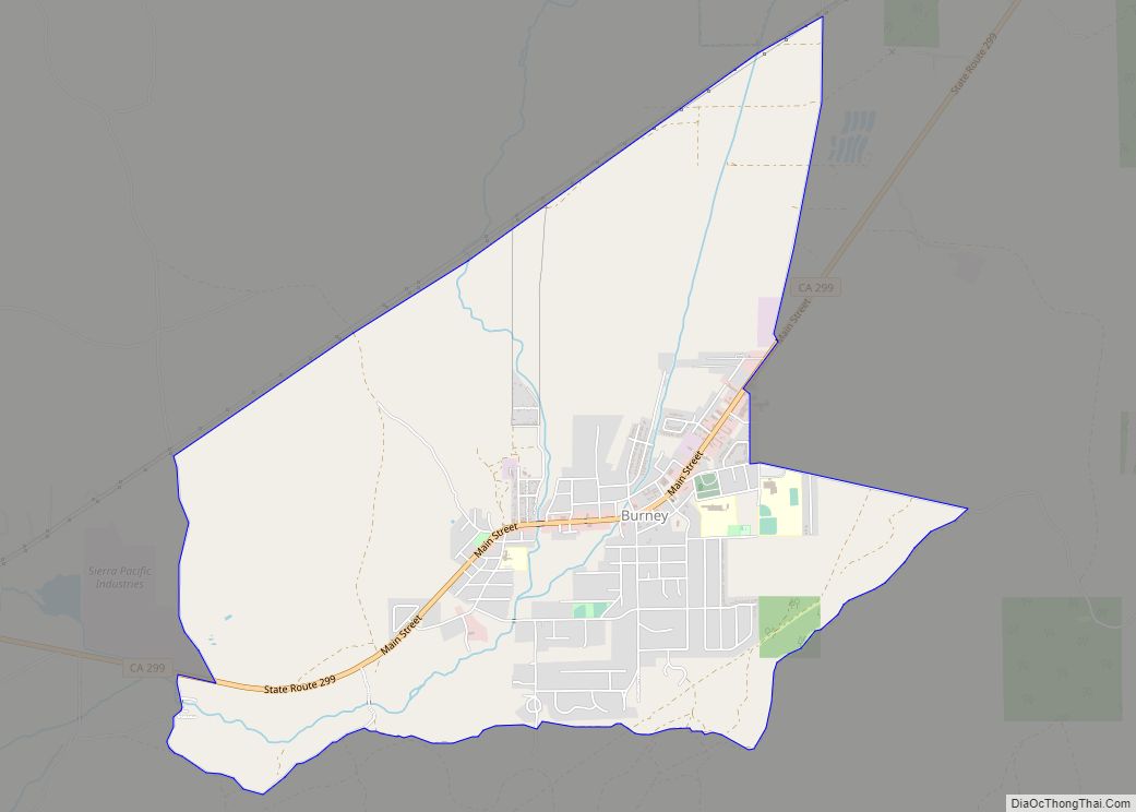
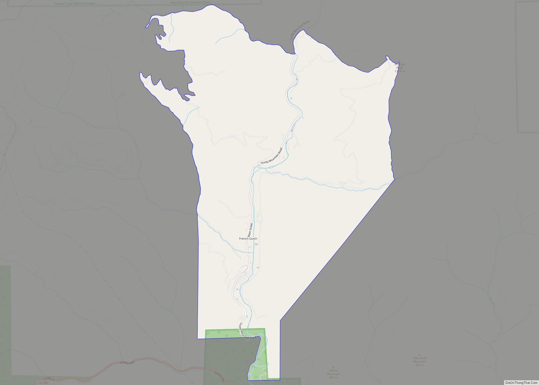
Online Interactive Map
Click on ![]() to view map in "full screen" mode.
to view map in "full screen" mode.
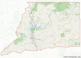
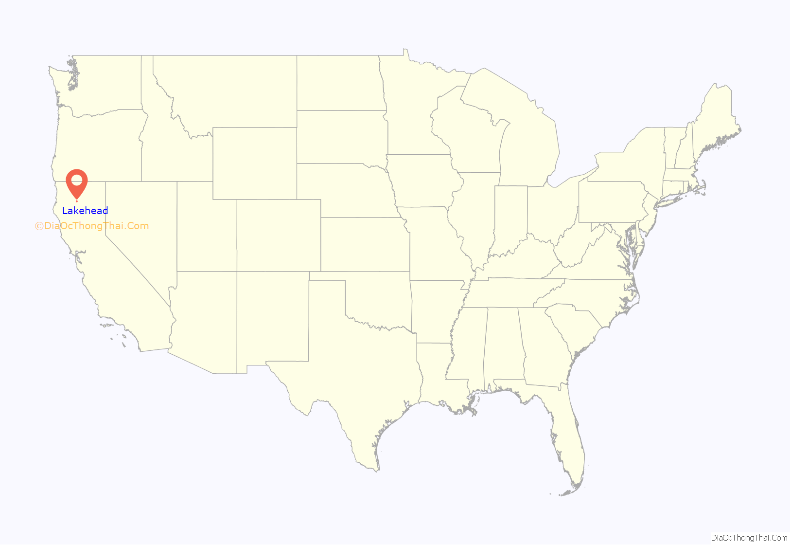
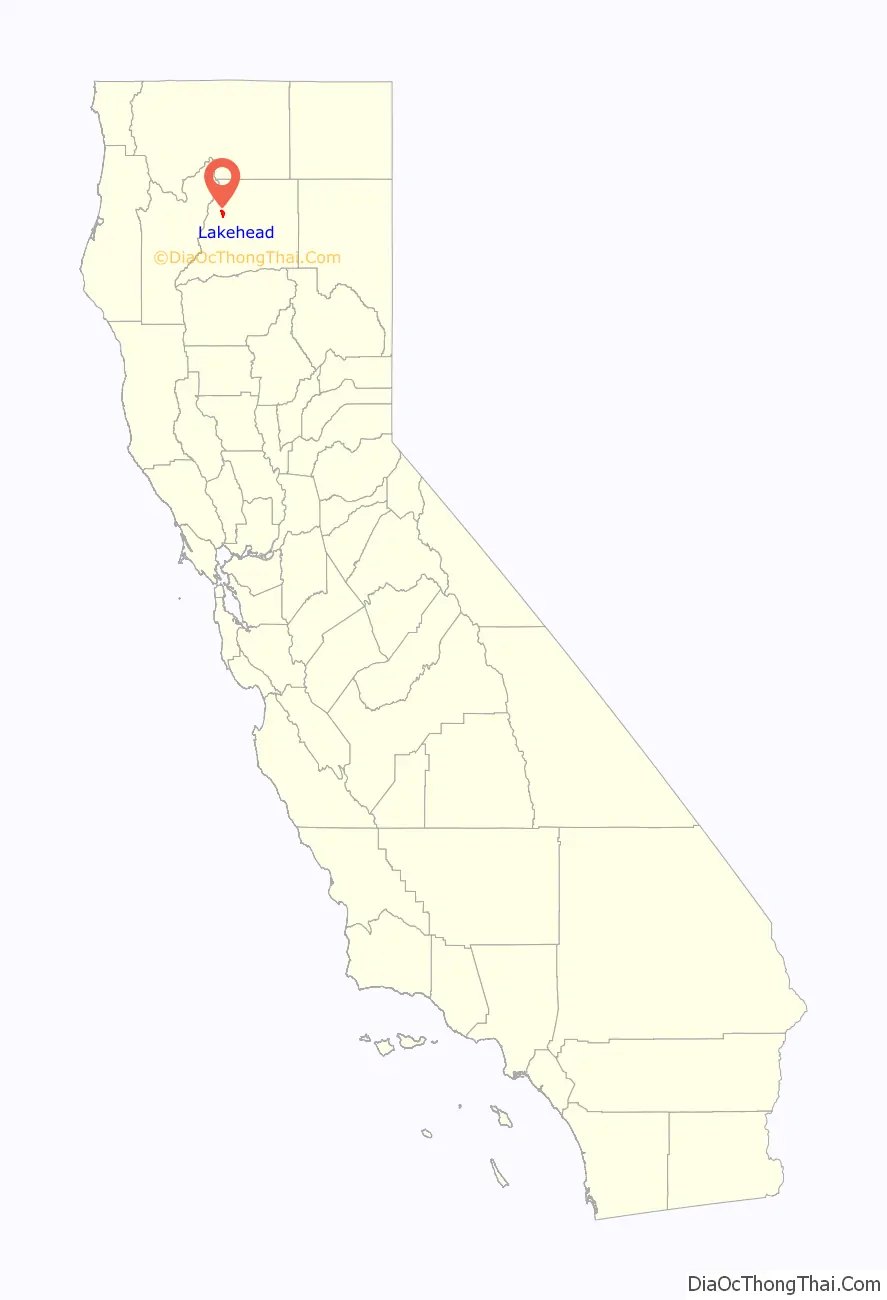
Lakehead location map. Where is Lakehead CDP?
History
In 2018, the western part of Lakehead was closed to the public due to the Carr Fire.
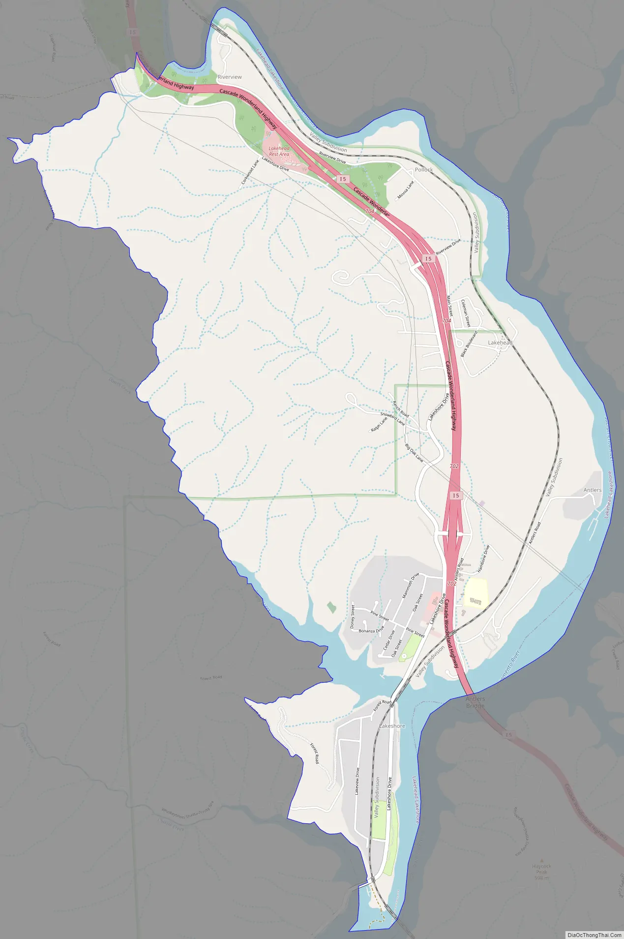
Lakehead Road Map
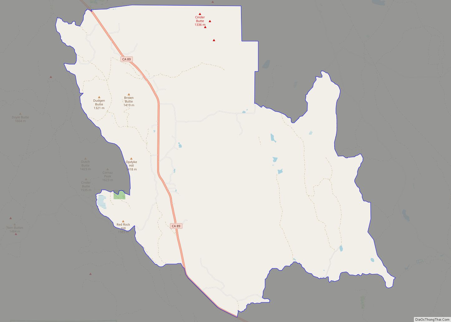
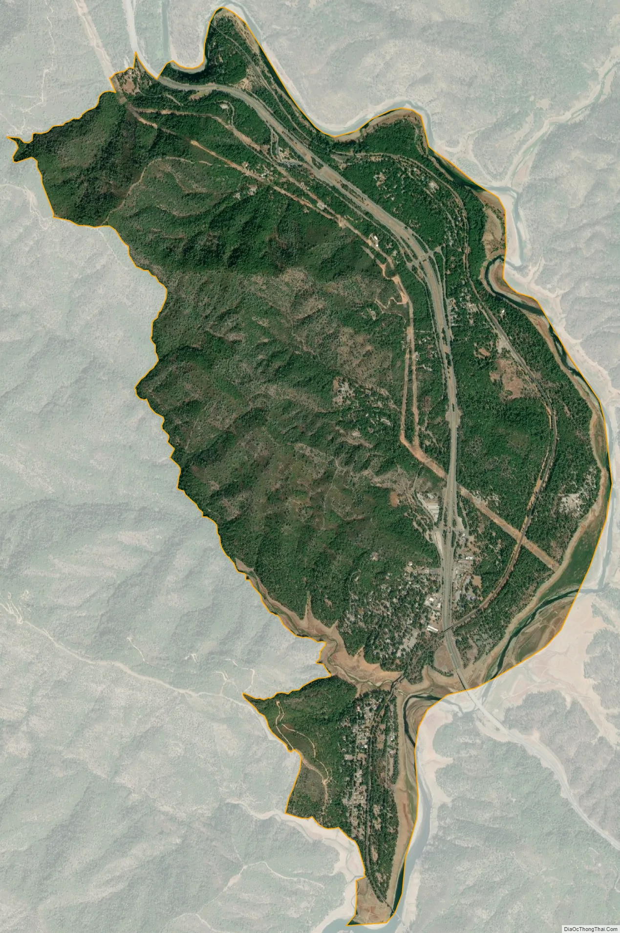
Lakehead city Satellite Map
Geography
According to the United States Census Bureau, the CDP covers an area of 5.3 square miles (13.7 km), 4.7 square miles (12.1 km) of it is land, and 0.6 square miles (1.5 km) of it (11.06%) is water.
Climate
According to the Köppen Climate Classification system, Lakehead has a warm-summer Mediterranean climate, abbreviated “Csa” on climate maps.
See also
Map of California State and its subdivision:- Alameda
- Alpine
- Amador
- Butte
- Calaveras
- Colusa
- Contra Costa
- Del Norte
- El Dorado
- Fresno
- Glenn
- Humboldt
- Imperial
- Inyo
- Kern
- Kings
- Lake
- Lassen
- Los Angeles
- Madera
- Marin
- Mariposa
- Mendocino
- Merced
- Modoc
- Mono
- Monterey
- Napa
- Nevada
- Orange
- Placer
- Plumas
- Riverside
- Sacramento
- San Benito
- San Bernardino
- San Diego
- San Francisco
- San Joaquin
- San Luis Obispo
- San Mateo
- Santa Barbara
- Santa Clara
- Santa Cruz
- Shasta
- Sierra
- Siskiyou
- Solano
- Sonoma
- Stanislaus
- Sutter
- Tehama
- Trinity
- Tulare
- Tuolumne
- Ventura
- Yolo
- Yuba
- Alabama
- Alaska
- Arizona
- Arkansas
- California
- Colorado
- Connecticut
- Delaware
- District of Columbia
- Florida
- Georgia
- Hawaii
- Idaho
- Illinois
- Indiana
- Iowa
- Kansas
- Kentucky
- Louisiana
- Maine
- Maryland
- Massachusetts
- Michigan
- Minnesota
- Mississippi
- Missouri
- Montana
- Nebraska
- Nevada
- New Hampshire
- New Jersey
- New Mexico
- New York
- North Carolina
- North Dakota
- Ohio
- Oklahoma
- Oregon
- Pennsylvania
- Rhode Island
- South Carolina
- South Dakota
- Tennessee
- Texas
- Utah
- Vermont
- Virginia
- Washington
- West Virginia
- Wisconsin
- Wyoming