Leona Valley (Leona, Spanish for “Lioness”) is a census-designated place located in the geographic Leona Valley of northern Los Angeles County, California, in the transition between the Sierra Pelona Mountains and Mojave Desert, just west of Palmdale and the Antelope Valley. The population was 1,607 at the 2010 census.
Leona Valley is best known for its agriculture, particularly cherries and wine grapes. The town of Leona Valley holds its annual Leona Valley Cherry Festival in honor of its agricultural heritage.
| Name: | Leona Valley CDP |
|---|---|
| LSAD Code: | 57 |
| LSAD Description: | CDP (suffix) |
| State: | California |
| County: | Los Angeles County |
| Elevation: | 3,491 ft (1,064 m) |
| Total Area: | 18.578 sq mi (48.117 km²) |
| Land Area: | 18.551 sq mi (48.046 km²) |
| Water Area: | 0.027 sq mi (0.071 km²) 0.15% |
| Total Population: | 1,607 |
| Population Density: | 87/sq mi (33/km²) |
| ZIP code: | 93551 |
| Area code: | 661 |
| FIPS code: | 0641208 |
| GNISfeature ID: | 2583056 |
Online Interactive Map
Click on ![]() to view map in "full screen" mode.
to view map in "full screen" mode.
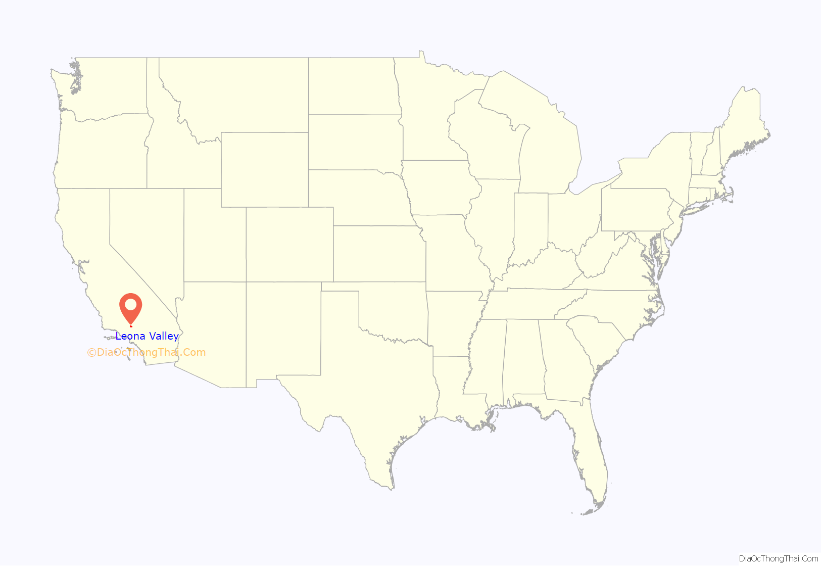
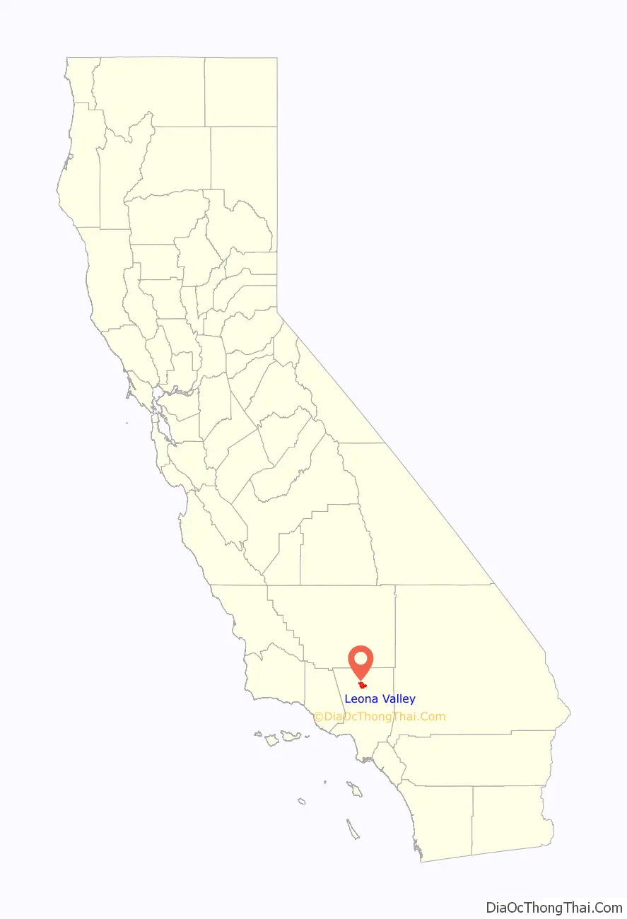
Leona Valley location map. Where is Leona Valley CDP?
History
Leona Valley’s post colonial history can be best described as land abundant with cattle ranches. In the late 18th century, after the loss of the Tataviam Native Americans – the area’s original inhabitants – to Indian Reductions as Mission Indians at the Mission San Fernando immigrants from Spain and Mexico quickly established themselves. The majority of the immigrants were primarily interested in the land in order to establish cattle ranches. During the 1830s, the ranches were broken up into smaller homesteads by farmers from Germany, France and the state of Nebraska. The Ritter family started one of the first wineries in this country in Leona Valley which was later shut down by the U.S. Prohibition period in the early 20th century.
In 1901 Frank D Hall bought the 3000 acre St. Anthony Ranch. The valley was then known as Leonis and he changed the name of the ranch to Leona Valley Ranch and set about building a dairy farm. The Ranch was most of the land west of Bouquet Canyon Rd. The dairy did not work out and the subdivision of the Leona Valley Ranch started in 1918. That first phase of the subdivision was for properties that had roads and water (either had water or was in an area known to be practical for drilling a well). One of the early sales was the southwest corner of Elizabeth Lake Rd and 90th St West. The Nolenberger’s built a store and gas station on that lot which opened in 1924. The building is now Hemme Hay and Feed store. In 1927 Frank Hall incorporated Farm Home Builders to handle the next phase that required new roads and a water system. To that end Farm Home Builders took out a loan for $45,000. The Great Depression hit before many sold and it wasn’t until the 1940s that most were sold.
The majority of those old large homestead parcels have since been partially subdivided and developed with a mix of custom residences, with Leona Valley still maintaining a spacious beauty.
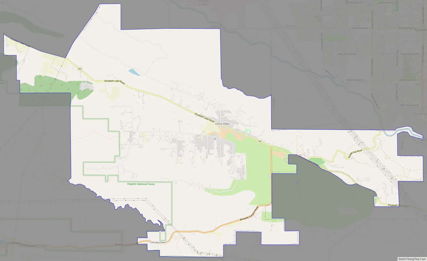
Leona Valley Road Map
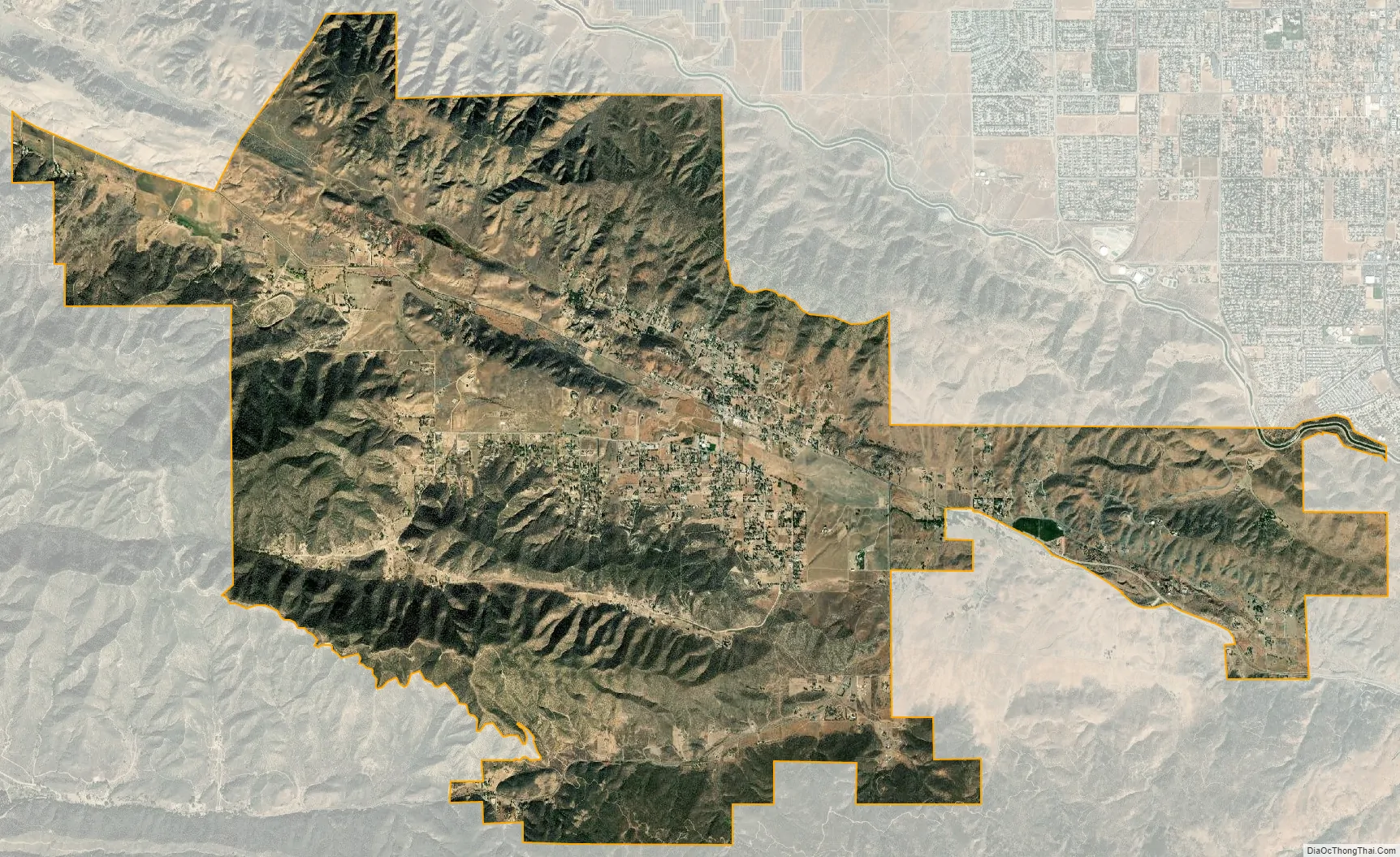
Leona Valley city Satellite Map
Geography
Leona Valley is located about 10 miles (20 km) west of the Palmdale Civic Center in Southern California. Leona Valley town is located in its namesake, Leona Valley. This valley is a long narrow valley separated from the Antelope Valley by the San Andreas fault ridge, known as Ritter Ridge, so named after one of the settlers from Nebraska in the 1880s. The valley is about a mile wide and 25 miles (40 km) in length. The geographic Leona Valley is also home to the towns of Lake Hughes and Lake Elizabeth.
The ZIP Code is 93551 and the community is inside area code 661.
See also
Map of California State and its subdivision:- Alameda
- Alpine
- Amador
- Butte
- Calaveras
- Colusa
- Contra Costa
- Del Norte
- El Dorado
- Fresno
- Glenn
- Humboldt
- Imperial
- Inyo
- Kern
- Kings
- Lake
- Lassen
- Los Angeles
- Madera
- Marin
- Mariposa
- Mendocino
- Merced
- Modoc
- Mono
- Monterey
- Napa
- Nevada
- Orange
- Placer
- Plumas
- Riverside
- Sacramento
- San Benito
- San Bernardino
- San Diego
- San Francisco
- San Joaquin
- San Luis Obispo
- San Mateo
- Santa Barbara
- Santa Clara
- Santa Cruz
- Shasta
- Sierra
- Siskiyou
- Solano
- Sonoma
- Stanislaus
- Sutter
- Tehama
- Trinity
- Tulare
- Tuolumne
- Ventura
- Yolo
- Yuba
- Alabama
- Alaska
- Arizona
- Arkansas
- California
- Colorado
- Connecticut
- Delaware
- District of Columbia
- Florida
- Georgia
- Hawaii
- Idaho
- Illinois
- Indiana
- Iowa
- Kansas
- Kentucky
- Louisiana
- Maine
- Maryland
- Massachusetts
- Michigan
- Minnesota
- Mississippi
- Missouri
- Montana
- Nebraska
- Nevada
- New Hampshire
- New Jersey
- New Mexico
- New York
- North Carolina
- North Dakota
- Ohio
- Oklahoma
- Oregon
- Pennsylvania
- Rhode Island
- South Carolina
- South Dakota
- Tennessee
- Texas
- Utah
- Vermont
- Virginia
- Washington
- West Virginia
- Wisconsin
- Wyoming


