Lodi (/ˈloʊdaɪ/ LOH-dye) is a city located in San Joaquin County, California, in the center portion of California’s Central Valley. The population was 62,134 at the 2010 census.
Lodi is best known for wine grape production, although its vintages have historically been less prestigious than those of Sonoma and Napa counties. However, in recent years, the Lodi Appellation has become increasingly respected for its Zinfandel and other eclectic wine varietals, along with its focus on sustainability under the Lodi Rules program. National recognition came from the Creedence Clearwater Revival song “Lodi” and continued with the “2015 Wine Region of the Year” award given to Lodi by Wine Enthusiast magazine.
| Name: | Lodi city |
|---|---|
| LSAD Code: | 25 |
| LSAD Description: | city (suffix) |
| State: | California |
| County: | San Joaquin County |
| Incorporated: | December 6, 1906 |
| Elevation: | 35 ft (15 m) |
| Total Area: | 13.86 sq mi (35.90 km²) |
| Land Area: | 13.64 sq mi (35.32 km²) |
| Water Area: | 0.22 sq mi (0.58 km²) 1.54% |
| Total Population: | 67,586 |
| Population Density: | 4,955.71/sq mi (1,913.41/km²) |
| Area code: | 209 |
| FIPS code: | 0642202 |
| Website: | www.lodi.gov |
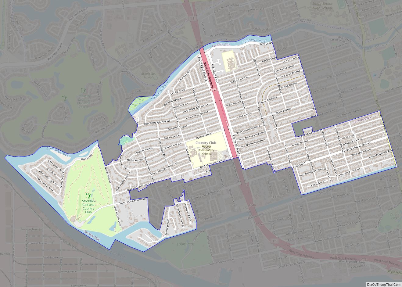
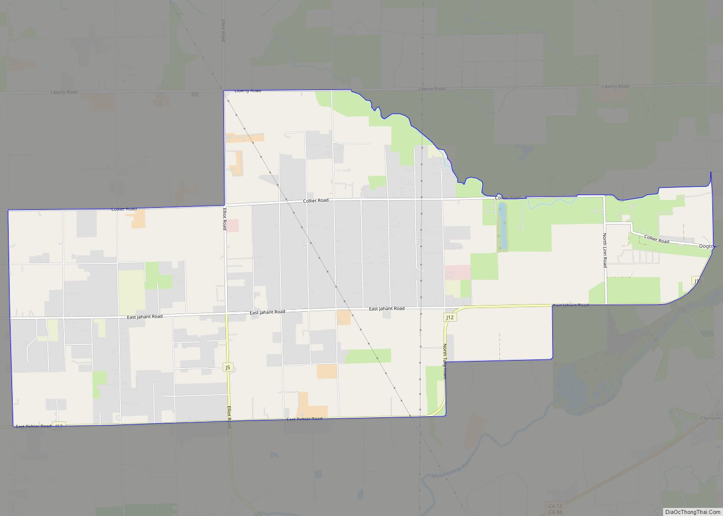
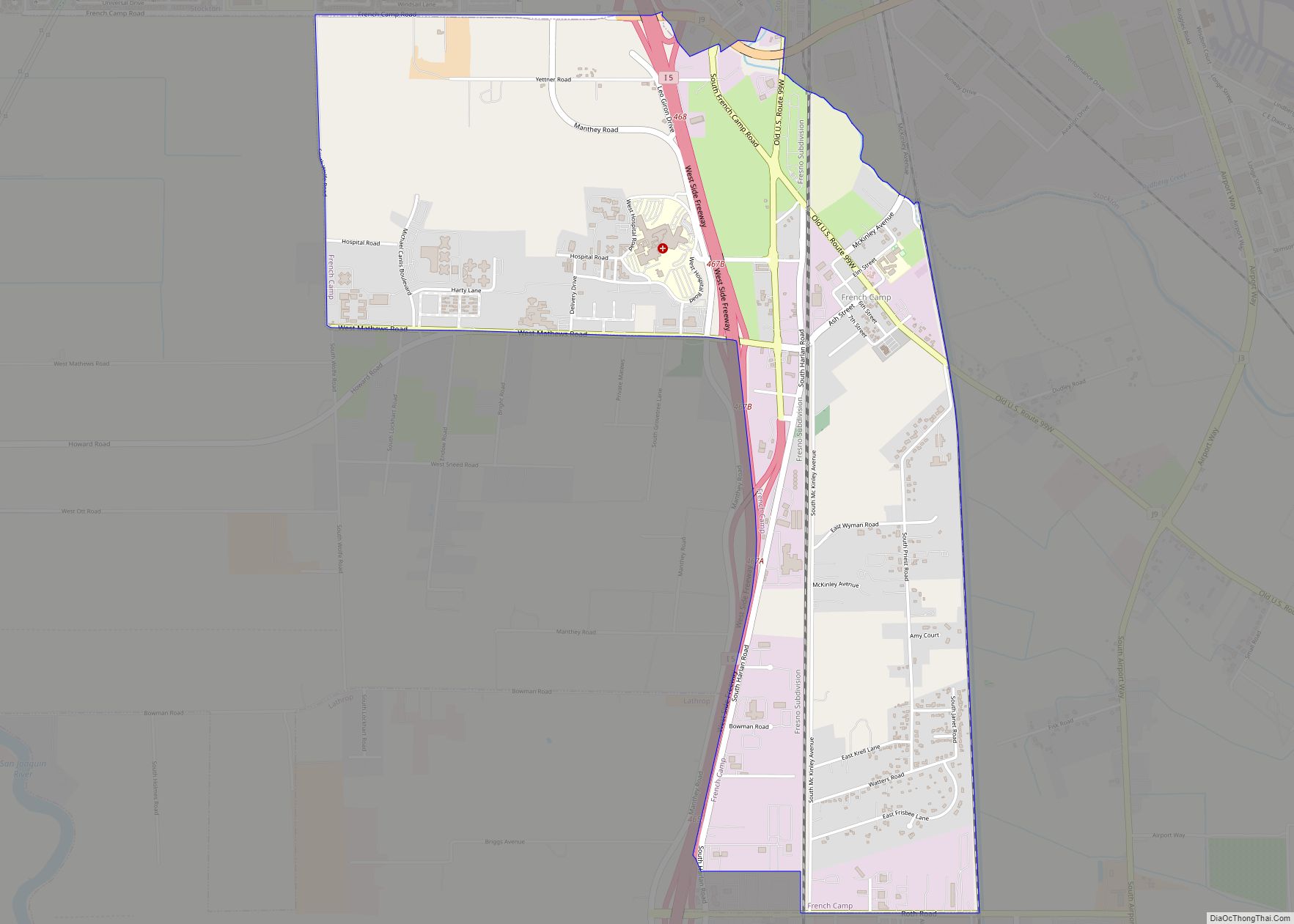
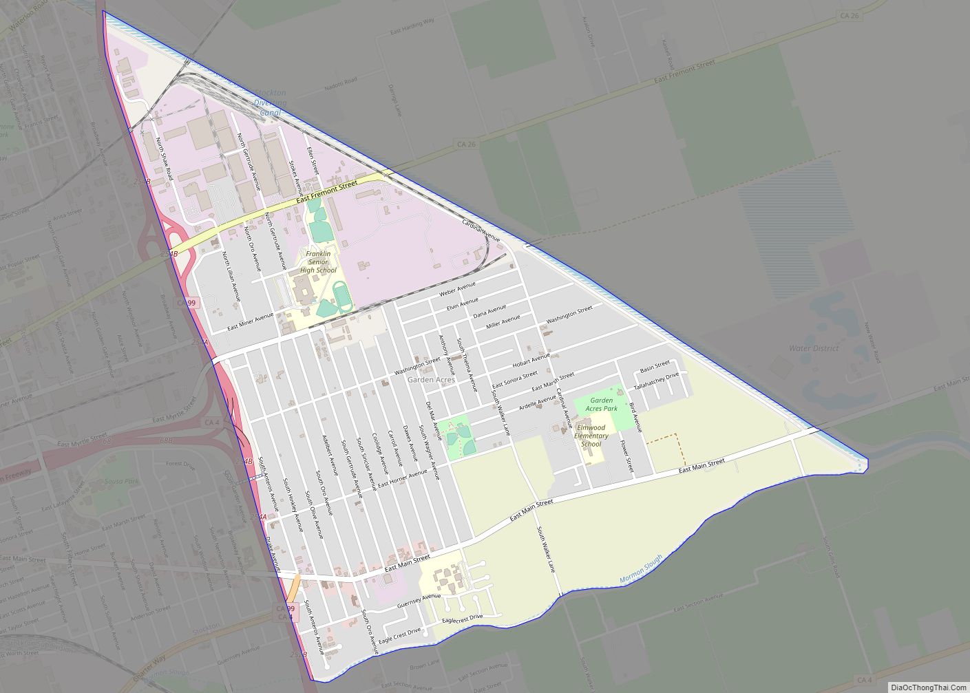
Online Interactive Map
Click on ![]() to view map in "full screen" mode.
to view map in "full screen" mode.
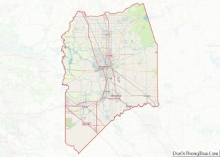
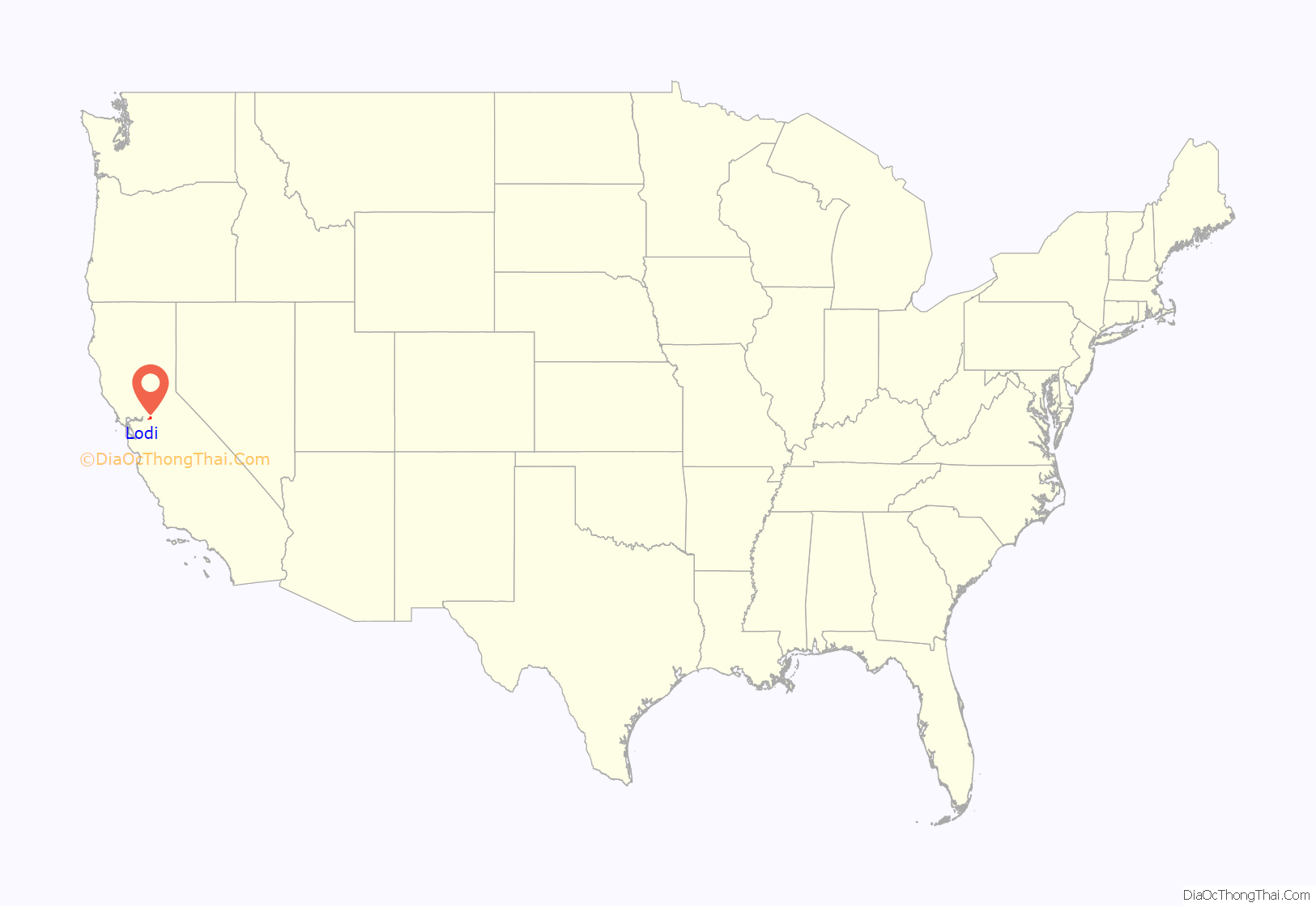
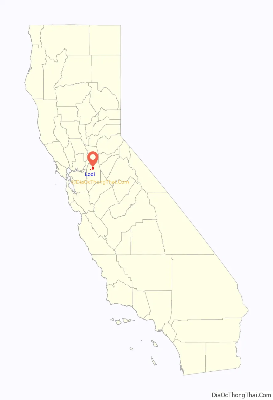
Lodi location map. Where is Lodi city?
History
When a group of local families decided to establish a school in 1859, they settled on a site near present-day Cherokee Lane and Turner Road. In 1869, the Central Pacific Railroad was in the process of creating a new route, and pioneer settlers Ezekiel Lawrence, Reuben Wardrobe, A. C. Ayers and John Magley offered a townsite of 160 acres (0.65 km) to the railroad as an incentive to build a station there. The railroad received a “railroad reserve” of 12 acres (49,000 m) in the middle of town, and surveyors began laying out streets in the area between Washington to Church and Locust to Walnut. Settlers flocked from nearby Woodbridge, Liberty City, and Galt, including town founders John M. Burt and Dan Crist.
Initially called Mokelumne and Mokelumne Station after the nearby river, confusion with other nearby towns prompted a name change, which was officially endorsed in Sacramento by an assembly bill. Several stories have been offered about the origins of the town’s name change. One refers to a locally stabled trotting horse that had set a four-mile (6 km) record, but as the horse reached the peak of its fame in 1869, it is unlikely that its notoriety would still have been evident in 1873. Alternatively, Lodi is a city in northern Italy where Napoleon defeated the Austrians in 1796 and won his first military victory. More than likely, some of the earliest settler families were from Lodi, Illinois, and they chose to use the same name as their hometown.
In 1906, the city was officially incorporated by voters, passing by a margin of 2 to 1. The fire department was established in 1911, and the city purchased the Bay City Gas and Water Works in 1919. Additional public buildings constructed during this period include the Lodi Opera House in 1905, a Carnegie library in 1909, and a hospital in 1915.
Lodi gained international attention in 2005 when local residents Hamid and Umer Hayat were arrested and charged in the first terrorism trial in the state of California. In 2019, a judge recommended his conviction be overturned, citing an ineffective legal defense for Hayat—who was defended by a lawyer who had never previously served in a criminal case in a federal court. The recommendation also cites a coerced confession obtained by the FBI, which one former agent described as the “sorriest confession” he had ever seen.
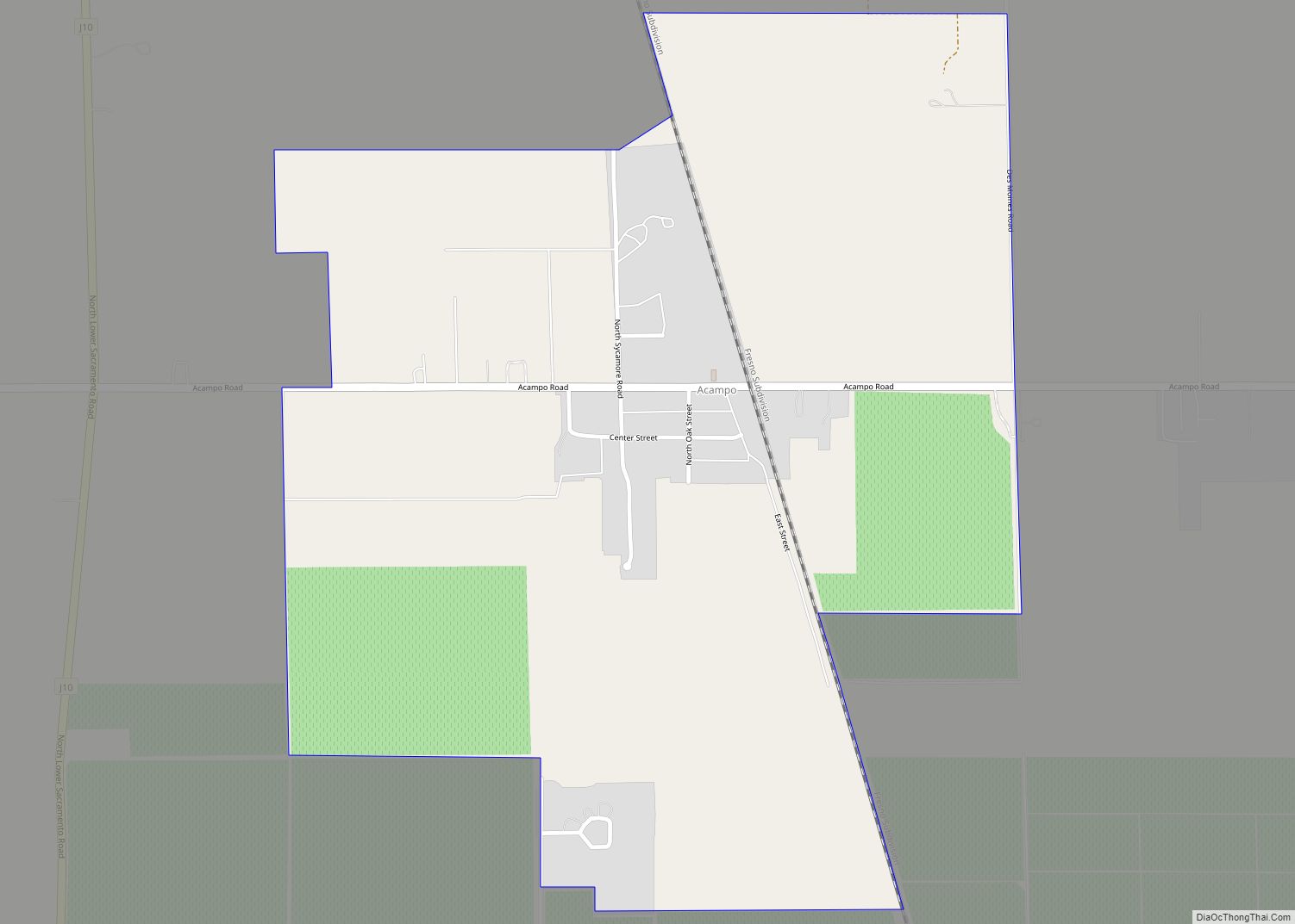
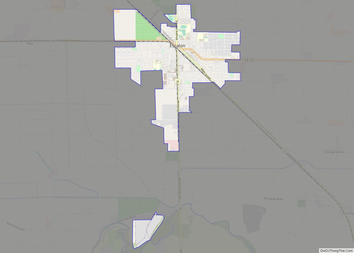
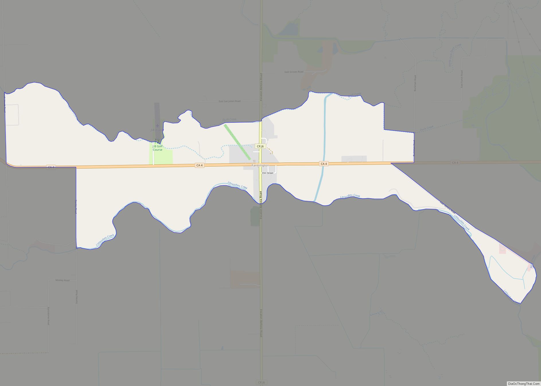
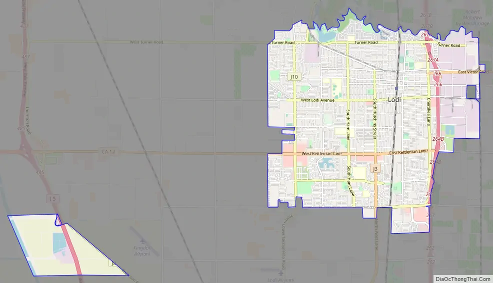
Lodi Road Map
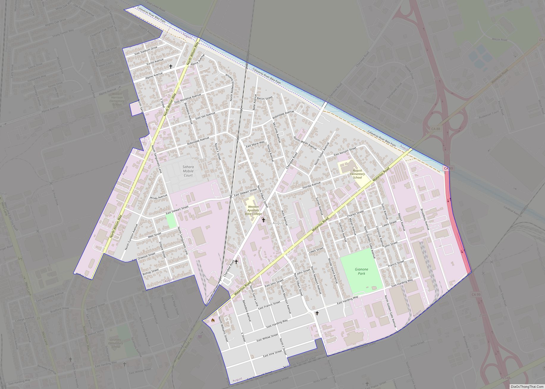
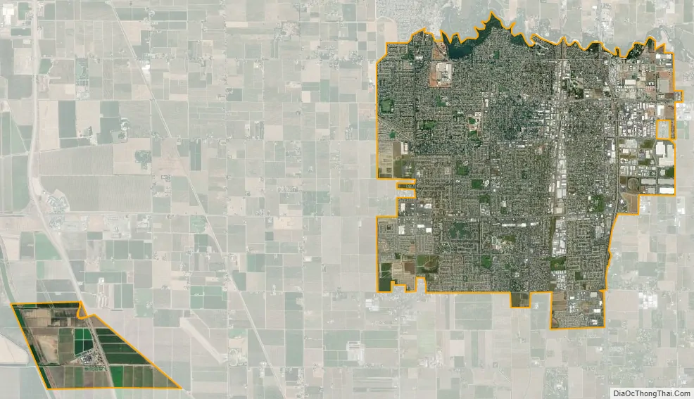
Lodi city Satellite Map
Geography
Lodi is flat terrain at an elevation of approximately 50 feet (15 m) above mean sea level datum. Historically, land in the area has been used for grazing as well as for grain production.
There has long been a movement in the area to preserve a “greenbelt” as a buffer zone between Lodi and Stockton in order to keep the two cities separate.
According to the United States Census Bureau, the city covers an area of 13.8 square miles (36 km), 98.46% of it land, and 1.54% of it water.
Climate
Lodi has cool, wet winters, often characterized by dense ground fog, and hot, dry summers with a considerably higher degree of diurnal temperature variation than in winter. According to the Köppen climate classification system, Lodi has a hot-summer Mediterranean climate (Köppen Csa). Due to the city’s proximity to the Sacramento-San Joaquin Delta, summer temperatures usually dip into the fifties at night. Fog and low overcast sometimes drifts in from San Francisco Bay during the summer and it can be breezy at times, especially at night.
Average January temperatures are a maximum of 55 °F (13 °C) and a minimum of 37 °F (3 °C). Average July temperatures are a maximum of 91 °F (33 °C) and a minimum of 57 °F (14 °C). There are an average of 65.3 days with highs of 90 °F (32 °C) or higher and an average of 30.5 days with lows of 32 °F (0 °C) or lower. The record high temperature was 111 °F (44 °C) on June 15, 1961. The record low temperature was 11 °F (−12 °C) on January 11, 1949.
Annual precipitation averages 18 in (46 cm), falling on an average of 59 days. The wettest year was 1983 with 35.4 in (90 cm) and the driest year was 1976 with 7.18 in (18.2 cm). The most rainfall in one month was 15.01 in (38.1 cm) in January 1911. The most rainfall in 24 hours was 3.76 in (9.6 cm) on December 11, 1906. Snow is very rare in Lodi, but 1.5 in (3.8 cm) fell on January 12, 1930. January is the wettest month.
See also
Map of California State and its subdivision:- Alameda
- Alpine
- Amador
- Butte
- Calaveras
- Colusa
- Contra Costa
- Del Norte
- El Dorado
- Fresno
- Glenn
- Humboldt
- Imperial
- Inyo
- Kern
- Kings
- Lake
- Lassen
- Los Angeles
- Madera
- Marin
- Mariposa
- Mendocino
- Merced
- Modoc
- Mono
- Monterey
- Napa
- Nevada
- Orange
- Placer
- Plumas
- Riverside
- Sacramento
- San Benito
- San Bernardino
- San Diego
- San Francisco
- San Joaquin
- San Luis Obispo
- San Mateo
- Santa Barbara
- Santa Clara
- Santa Cruz
- Shasta
- Sierra
- Siskiyou
- Solano
- Sonoma
- Stanislaus
- Sutter
- Tehama
- Trinity
- Tulare
- Tuolumne
- Ventura
- Yolo
- Yuba
- Alabama
- Alaska
- Arizona
- Arkansas
- California
- Colorado
- Connecticut
- Delaware
- District of Columbia
- Florida
- Georgia
- Hawaii
- Idaho
- Illinois
- Indiana
- Iowa
- Kansas
- Kentucky
- Louisiana
- Maine
- Maryland
- Massachusetts
- Michigan
- Minnesota
- Mississippi
- Missouri
- Montana
- Nebraska
- Nevada
- New Hampshire
- New Jersey
- New Mexico
- New York
- North Carolina
- North Dakota
- Ohio
- Oklahoma
- Oregon
- Pennsylvania
- Rhode Island
- South Carolina
- South Dakota
- Tennessee
- Texas
- Utah
- Vermont
- Virginia
- Washington
- West Virginia
- Wisconsin
- Wyoming