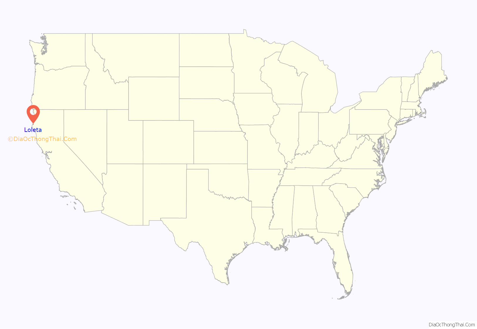
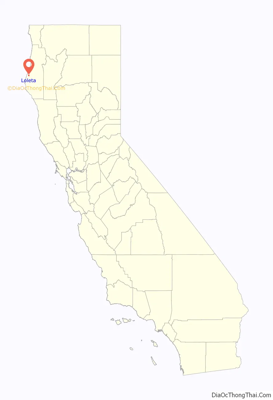
Loleta (Wiyot: Guduwalhat) is a census-designated place in Humboldt County, California. Loleta is located 5.5 miles (9 km) south of Fields Landing, and 15 miles (24 km) south of Eureka at an elevation of 46 feet (14 m). The population was 783 at the 2010 census. Residents live in a central community area and rural outskirts. There are two separate Native American reservations on the rural outskirts of Table Bluff, California.
The ZIP Code is 95551, and the community is inside area code 707.
| Name: | Loleta CDP |
|---|---|
| LSAD Code: | 57 |
| LSAD Description: | CDP (suffix) |
| State: | California |
| County: | Humboldt County |
| Elevation: | 46 ft (14 m) |
| Total Area: | 2.125 sq mi (5.504 km²) |
| Land Area: | 2.125 sq mi (5.504 km²) |
| Water Area: | 0 sq mi (0 km²) 0% |
| Total Population: | 828 |
| Population Density: | 390/sq mi (150/km²) |
| ZIP code: | 95551 |
| Area code: | 707 |
| FIPS code: | 0642328 |
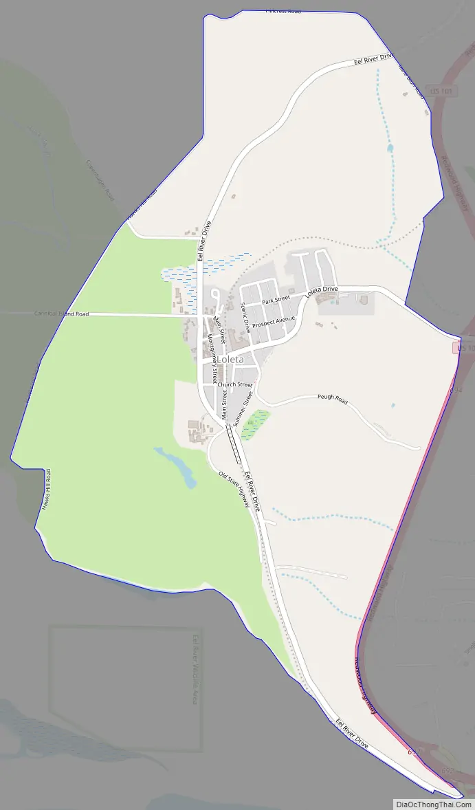
Online Interactive Map
Click on ![]() to view map in "full screen" mode.
to view map in "full screen" mode.
Loleta location map. Where is Loleta CDP?
History
European settlement began in the early 1850s although Wiyot people had inhabited the area for generations. Potato farming was the biggest agricultural use of land until the 1870s, when depleted soil and declining prices caused a turn to dairying. The town was originally known as Swauger or Swauger’s Station, for local landowner Samuel A. Swauger.
The town was renamed Loleta in 1897. The name was reported to mean “pleasant place at the end of the tide water” in the language of the original Wiyot native inhabitants, although this is apparently contradicted linguistically as well as by a hearsay account from the 1950s, made notorious by a National Geographic blog post. However, a 1918 list of place names collected by Kroeber and Waterman two years after Kroeber’s 1916 publication shows that the trail from Table Bluff along the peak of that feature was named “lalōekā”.
The Eel River and Eureka Railroad reached Swauger’s Station from Humboldt Bay in 1883. The Swauger post office opened in 1888, and changed its name to Loleta in 1898. The Humboldt Creamery plant (originally Diamond Springs Creamery, eventually a co-operative of the Golden State Creamery) opened in the town proper in 1893, and dairying continues to be a major economic influence. The Atchison, Topeka and Santa Fe Railway reorganized Loleta’s railroad as the San Francisco and Northwestern Railway in 1903 and then completed the Northwestern Pacific Railroad to San Francisco in 1914.
Loleta Road Map
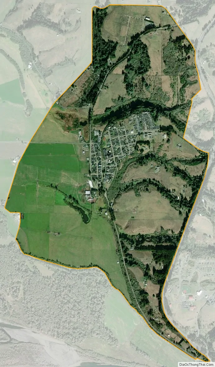
Loleta city Satellite Map
See also
Map of California State and its subdivision:- Alameda
- Alpine
- Amador
- Butte
- Calaveras
- Colusa
- Contra Costa
- Del Norte
- El Dorado
- Fresno
- Glenn
- Humboldt
- Imperial
- Inyo
- Kern
- Kings
- Lake
- Lassen
- Los Angeles
- Madera
- Marin
- Mariposa
- Mendocino
- Merced
- Modoc
- Mono
- Monterey
- Napa
- Nevada
- Orange
- Placer
- Plumas
- Riverside
- Sacramento
- San Benito
- San Bernardino
- San Diego
- San Francisco
- San Joaquin
- San Luis Obispo
- San Mateo
- Santa Barbara
- Santa Clara
- Santa Cruz
- Shasta
- Sierra
- Siskiyou
- Solano
- Sonoma
- Stanislaus
- Sutter
- Tehama
- Trinity
- Tulare
- Tuolumne
- Ventura
- Yolo
- Yuba
- Alabama
- Alaska
- Arizona
- Arkansas
- California
- Colorado
- Connecticut
- Delaware
- District of Columbia
- Florida
- Georgia
- Hawaii
- Idaho
- Illinois
- Indiana
- Iowa
- Kansas
- Kentucky
- Louisiana
- Maine
- Maryland
- Massachusetts
- Michigan
- Minnesota
- Mississippi
- Missouri
- Montana
- Nebraska
- Nevada
- New Hampshire
- New Jersey
- New Mexico
- New York
- North Carolina
- North Dakota
- Ohio
- Oklahoma
- Oregon
- Pennsylvania
- Rhode Island
- South Carolina
- South Dakota
- Tennessee
- Texas
- Utah
- Vermont
- Virginia
- Washington
- West Virginia
- Wisconsin
- Wyoming


