Lucas Valley-Marinwood is a census-designated place (CDP) in Marin County, California, United States. It includes the neighborhoods of Lucas Valley and Marinwood. As of the 2020 census, the population was 6,259.
| Name: | Lucas Valley-Marinwood CDP |
|---|---|
| LSAD Code: | 57 |
| LSAD Description: | CDP (suffix) |
| State: | California |
| County: | Marin County |
| Elevation: | 620 ft (189 m) |
| Total Area: | 5.731 sq mi (14.84 km²) |
| Land Area: | 5.731 sq mi (14.84 km²) |
| Water Area: | 0 sq mi (0 km²) 0% |
| Total Population: | 6,259 |
| Population Density: | 1,100/sq mi (420/km²) |
| ZIP code: | 94903 (San Rafael) |
| FIPS code: | 0644399 |
| GNISfeature ID: | 2408149 |
Online Interactive Map
Click on ![]() to view map in "full screen" mode.
to view map in "full screen" mode.
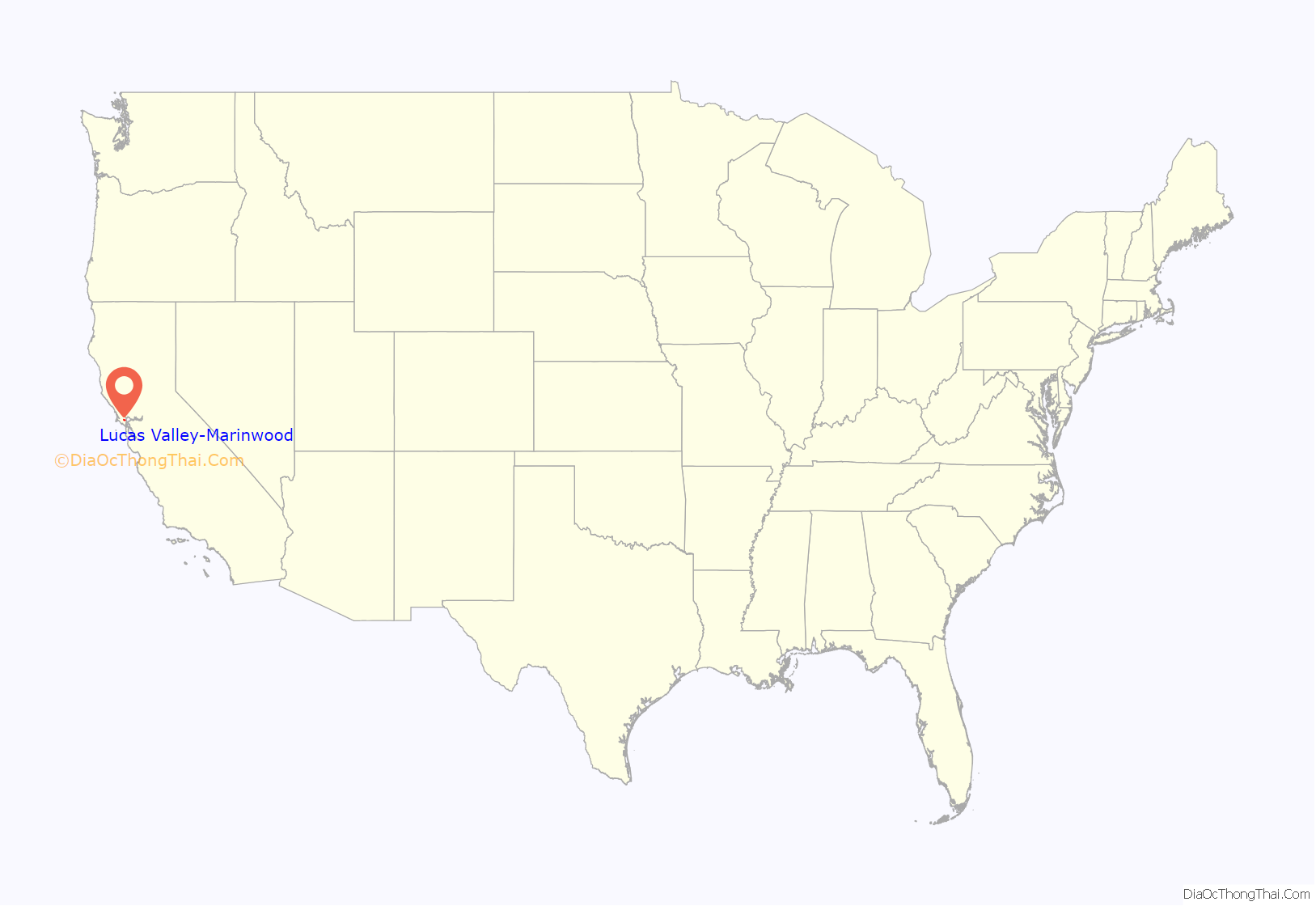
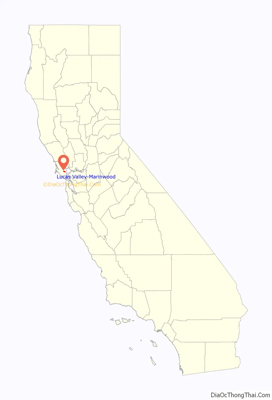
Lucas Valley-Marinwood location map. Where is Lucas Valley-Marinwood CDP?
History
James Miller, of Irish descent, came overland to California in 1844 with the Stephens–Townsend–Murphy Party and in April 1845 arrived in San Rafael. In 1846 he purchased 680 acres (2.8 km) of land from Timothy Murphy, grantee of Rancho San Pedro, Santa Margarita y Las Gallinas. The land encompassed present-day Marinwood and a creek which was later named Miller Creek. He rebuilt an old adobe on a hill where the Miller Creek condominiums are located and called it Miller Hall. By 1862 Miller had 10 children, and in he 1864 donated a 3⁄4-acre site next to Miller Creek to have the Dixie School built upon it. The building still stands but has been relocated in front of Miller Creek Middle school on Las Gallinas Avenue. It is on the National Register of Historic Places.
James Miller died in 1890. The 1,084-acre (4.39 km) ranch he owned at the time was eventually sold to the Sequeira family in 1935. The family tore down Miller Hall later that year. A portion of the Miller land was sold to Anthony Faustine (A.F.) Silveira, who had leased the property from 1900 to 1935. Silveira built his own home and dairy facility in 1935 on the east side of what is now the 101 Highway. Silveira, the founding president of Marin Dairymen’s Milk Co. Ltd. aka Marin-Dell, died in a ranch accident in 1937. His family continued the ranching operation, which still exists.
Lucas Valley was named after John Lucas, a 19th-century rancher and nephew of Timothy Murphy (not related to George Lucas).
In the 1950s and 1960s, suburbia came to Marinwood. It was brought partly on the shoulders of modernist builder/developer Joseph Eichler. His highly recognizable and stylish homes can be found throughout Lucas Valley and Eastern Marinwood. The Lucas Valley community center and pool were also constructed by Eichler as a centerpiece of the neighborhood.
The original subdivision of Marinwood consisted of streets to the north of Miller Creek Road and featured a blend of suburban single story ranch-style homes and two-story Cape Cod-inspired homes. The streets were named so that all the names ended in “-stone”. In alphabetical order, they are Adobestone, Blackstone, Cobblestone, Deepstone, Emerystone, Flagstone, Heatherstone, Johnstone, Millstone, Opalstone, Peachstone, Rhinestone, Unionstone, and Windstone.
The second subdivision was smaller, built to the south of Miller Creek Road, featuring the same mix of ranch- and Cape Cod-style homes. The streets were named with “-wood” as their suffix. They are Pinewood and Quietwood.
A later development was the area that became known as Lower Lucas Valley. This development featured the Eichler-style homes, as opposed to the Marinwood mix. The streets of lower Lucas Valley were named so their names all ended in berry. The streets are, in alphabetical order: Appleberry, Blackberry, Cedarberry, Danberry, Elderberry, Flaxberry, Greenberry, Huckleberry, Idylberry, Juniperberry, Kernberry, Loganberry, Mulberry, Newberry.
The final development was the area up the valley to the west, known as Upper Lucas Valley, and also featured Eichler-style homes. The streets of this area are all named for famous mountains, such as Mt. Shasta, Mt. Rainier, Mt. Whitney, etc.
In 1977, George Lucas purchased 1,267 acres (5.13 km) west of Marinwood, which he subsequently refashioned into Skywalker Ranch. Geographically, Skywalker Ranch is located on the western side of the Big Rock Ridge and is not part of the Lucas Valley–Marinwood CDP.
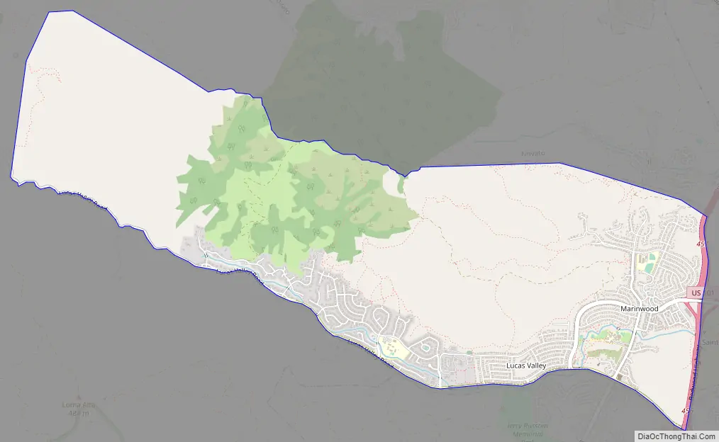
Lucas Valley-Marinwood Road Map
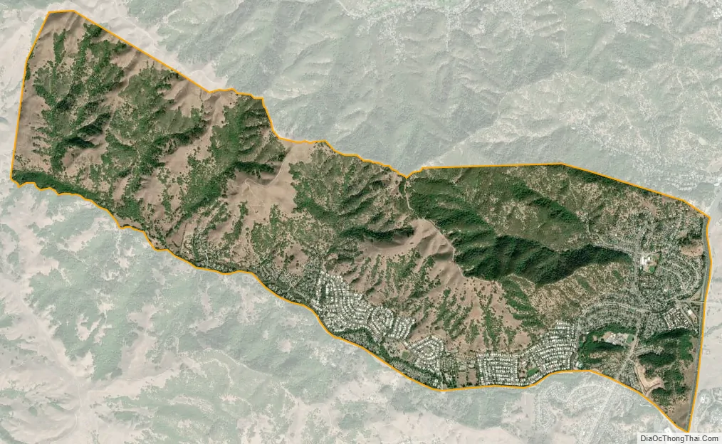
Lucas Valley-Marinwood city Satellite Map
Geography
According to the United States Census Bureau, the CDP has a total area of 5.7 square miles (15 km), all of it land. It is bordered to the north by Novato and to the south by San Rafael. The U.S. Route 101 freeway forms the eastern limit of the CDP, and Lucas Valley Road is the southern border. The CDP extends west up Lucas Valley road to the height of land at Big Rock.
See also
Map of California State and its subdivision:- Alameda
- Alpine
- Amador
- Butte
- Calaveras
- Colusa
- Contra Costa
- Del Norte
- El Dorado
- Fresno
- Glenn
- Humboldt
- Imperial
- Inyo
- Kern
- Kings
- Lake
- Lassen
- Los Angeles
- Madera
- Marin
- Mariposa
- Mendocino
- Merced
- Modoc
- Mono
- Monterey
- Napa
- Nevada
- Orange
- Placer
- Plumas
- Riverside
- Sacramento
- San Benito
- San Bernardino
- San Diego
- San Francisco
- San Joaquin
- San Luis Obispo
- San Mateo
- Santa Barbara
- Santa Clara
- Santa Cruz
- Shasta
- Sierra
- Siskiyou
- Solano
- Sonoma
- Stanislaus
- Sutter
- Tehama
- Trinity
- Tulare
- Tuolumne
- Ventura
- Yolo
- Yuba
- Alabama
- Alaska
- Arizona
- Arkansas
- California
- Colorado
- Connecticut
- Delaware
- District of Columbia
- Florida
- Georgia
- Hawaii
- Idaho
- Illinois
- Indiana
- Iowa
- Kansas
- Kentucky
- Louisiana
- Maine
- Maryland
- Massachusetts
- Michigan
- Minnesota
- Mississippi
- Missouri
- Montana
- Nebraska
- Nevada
- New Hampshire
- New Jersey
- New Mexico
- New York
- North Carolina
- North Dakota
- Ohio
- Oklahoma
- Oregon
- Pennsylvania
- Rhode Island
- South Carolina
- South Dakota
- Tennessee
- Texas
- Utah
- Vermont
- Virginia
- Washington
- West Virginia
- Wisconsin
- Wyoming


