Marin City is an unincorporated community and census-designated place (CDP) in Marin County, California, United States. As of the 2020 census, it had a population of 2,993, up from 2,666 in 2010. It is located 1.5 miles (2.4 kilometers) northwest of downtown Sausalito, 8 miles (13 km) south-southeast of San Rafael, and about 5 miles (8 km) north of San Francisco from the Golden Gate Bridge, at an elevation of 23 feet (7.0 m). Marin City was developed for housing starting in 1942, to accommodate wartime shipyard workers and other migrants to California. Among those were African Americans from the South in the Great Migration, which continued until 1970.
After World War II, the area became predominantly African-American, as white residents were able to move freely to private housing elsewhere in Marin County. Since the 1980s, additional development has changed the makeup of the population while providing more local jobs. In 2018, Marin City’s socioeconomic and racial makeup (median household income of $40,000, and almost 40 percent Black) contrasts with the mostly wealthy and White population in Marin County overall (greater than $80,000 median income, less than four percent Black).
| Name: | Marin City CDP |
|---|---|
| LSAD Code: | 57 |
| LSAD Description: | CDP (suffix) |
| State: | California |
| County: | Marin County |
| Elevation: | 23 ft (7 m) |
| Total Area: | 0.537 sq mi (1.39 km²) |
| Land Area: | 0.537 sq mi (1.39 km²) |
| Water Area: | 0 sq mi (0 km²) 0% |
| Total Population: | 2,993 |
| Population Density: | 5,600/sq mi (2,200/km²) |
| ZIP code: | 94965 (Sausalito) |
| FIPS code: | 0645820 |
Online Interactive Map
Click on ![]() to view map in "full screen" mode.
to view map in "full screen" mode.
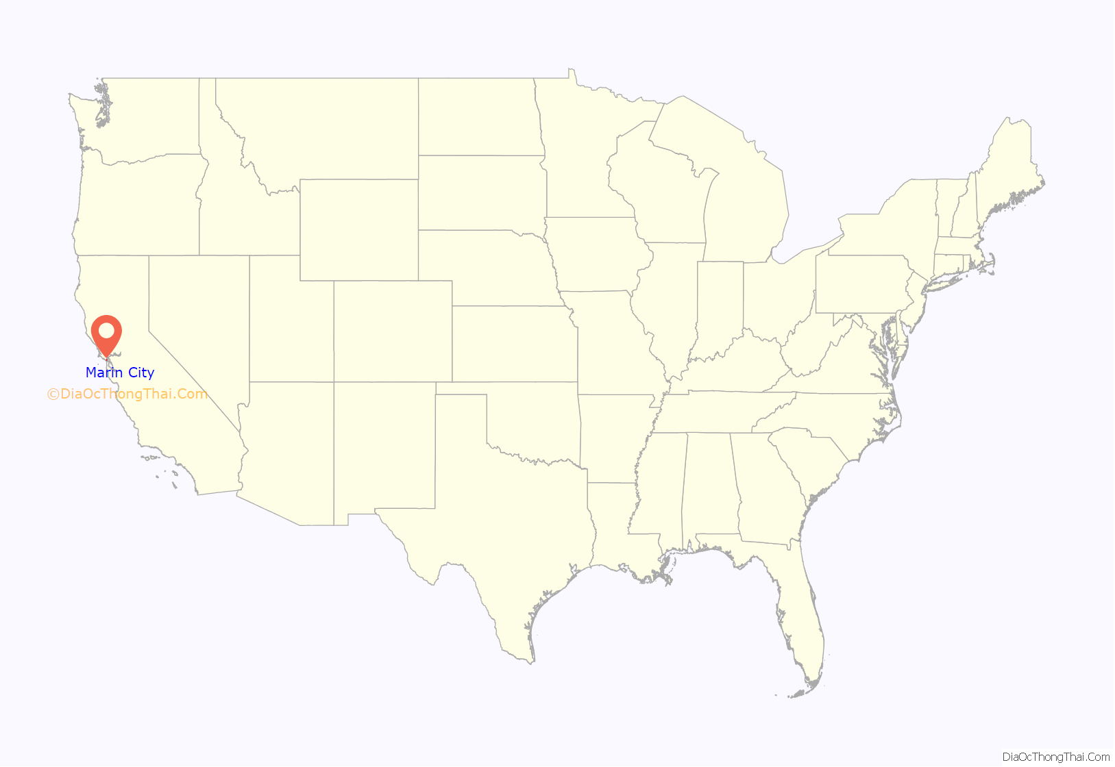
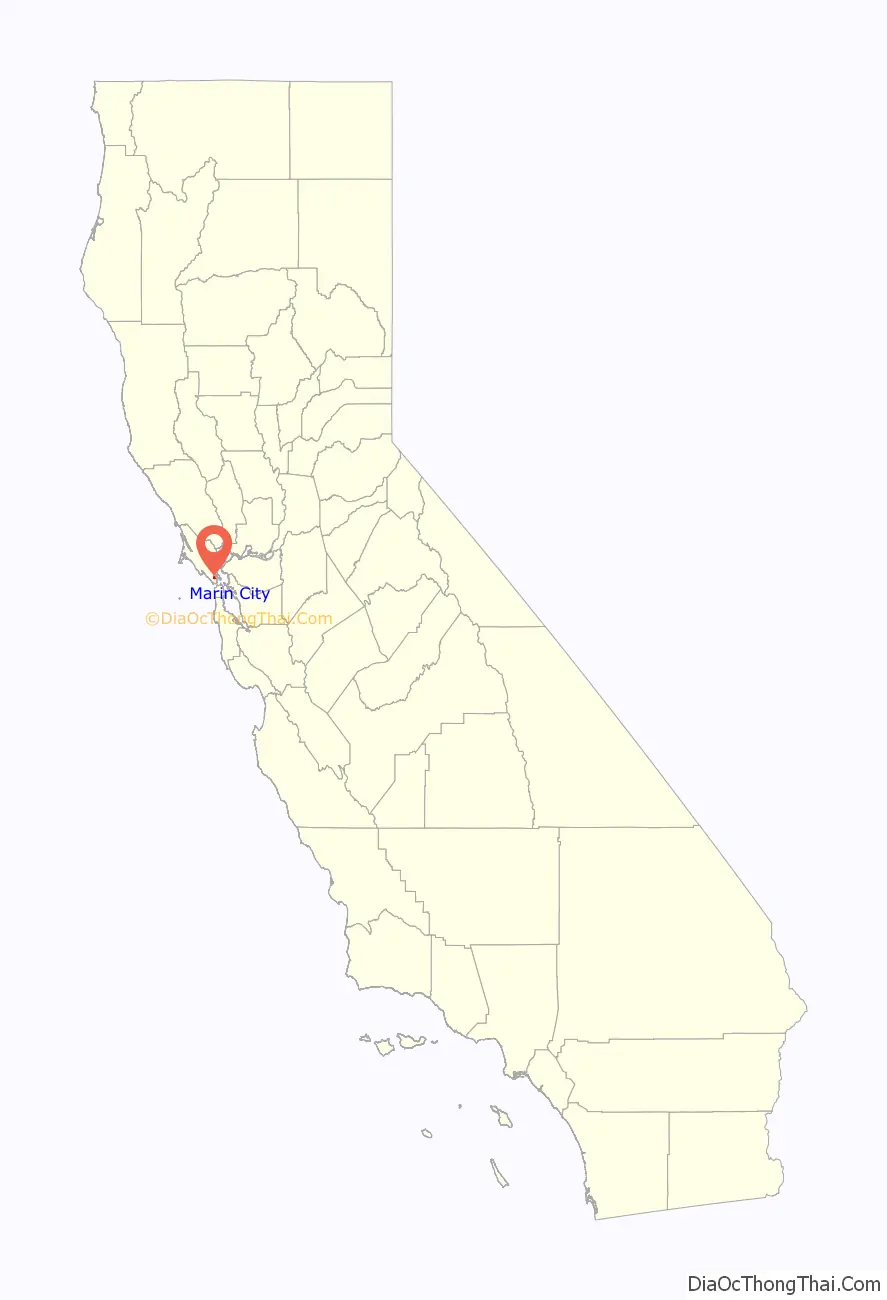
Marin City location map. Where is Marin City CDP?
History
Prior to World War II, this area was occupied by a dairy farm and a handful of families. Soon after war was declared on December 8, 1941, Marin City was rapidly built during 1942 in order to house 6,000 of the 20,000 workers who migrated from all over the United States, attracted by the defense jobs at Marinship, the Sausalito waterfront shipyard. A total of 93 liberty ships and tankers were built and launched from Marinship in fewer than three years.
Many of the African-American shipyard laborers who had migrated to the Bay Area from the South during the second phase of the Great Migration continued to live in Marin City after the war, either by choice or because many black families were restricted by local zoning from living in or buying homes in the towns surrounding Marin City. They became the core of the community after many of the other workers moved to other areas at the end of the war. During the war, African Americans comprised about 10 percent of Marin City’s population. By the 1970s, African Americans comprised more than 75 percent of the population of Marin City, most of whom were descendants of the Marinship workers.
During the 1980s and 1990s there was considerable residential and commercial development in the community, including several new housing developments, apartment complexes, and condo developments. The commercial area was expanded, particularly with the construction of the Gateway Shopping Center in 1996, which displaced a locally renowned flea market. As of 2010, the community population was 38.9 percent white and 38.1 percent African American; nearly 14 percent were Hispanic of any race. In the early 21st century, Marin City residents and officials have begun to think about incorporating as a city.
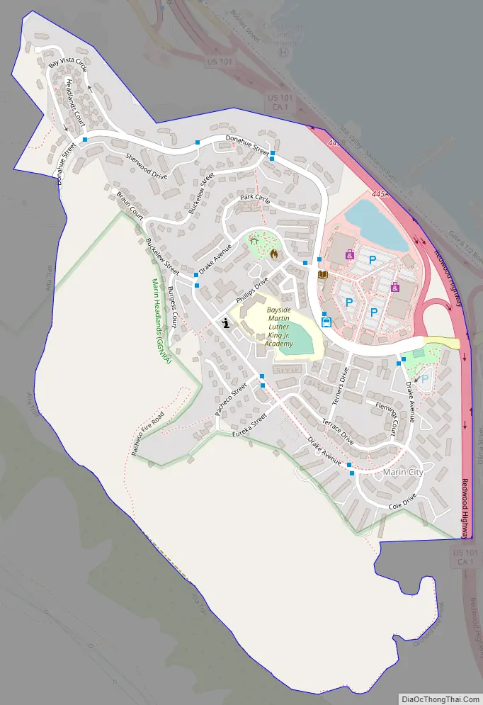
Marin City Road Map
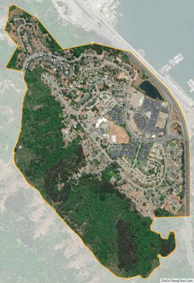
Marin City city Satellite Map
Geography
Marin City is located in southern Marin County at 38°52’07” North, 122°30’33” West, about 5 miles (8 km) north of San Francisco. It is bordered to the southeast by the city of Sausalito and to the west by Tamalpais Valley. The U.S. Route 101 freeway forms the northeast edge of the community, beyond which is Richardson Bay, an arm of San Francisco Bay. The community is bordered to the southwest by the hills of the Golden Gate National Recreation Area.
According to the United States Census Bureau, the CDP had an area of 0.54 square miles (1.40 km), all land.
See also
Map of California State and its subdivision:- Alameda
- Alpine
- Amador
- Butte
- Calaveras
- Colusa
- Contra Costa
- Del Norte
- El Dorado
- Fresno
- Glenn
- Humboldt
- Imperial
- Inyo
- Kern
- Kings
- Lake
- Lassen
- Los Angeles
- Madera
- Marin
- Mariposa
- Mendocino
- Merced
- Modoc
- Mono
- Monterey
- Napa
- Nevada
- Orange
- Placer
- Plumas
- Riverside
- Sacramento
- San Benito
- San Bernardino
- San Diego
- San Francisco
- San Joaquin
- San Luis Obispo
- San Mateo
- Santa Barbara
- Santa Clara
- Santa Cruz
- Shasta
- Sierra
- Siskiyou
- Solano
- Sonoma
- Stanislaus
- Sutter
- Tehama
- Trinity
- Tulare
- Tuolumne
- Ventura
- Yolo
- Yuba
- Alabama
- Alaska
- Arizona
- Arkansas
- California
- Colorado
- Connecticut
- Delaware
- District of Columbia
- Florida
- Georgia
- Hawaii
- Idaho
- Illinois
- Indiana
- Iowa
- Kansas
- Kentucky
- Louisiana
- Maine
- Maryland
- Massachusetts
- Michigan
- Minnesota
- Mississippi
- Missouri
- Montana
- Nebraska
- Nevada
- New Hampshire
- New Jersey
- New Mexico
- New York
- North Carolina
- North Dakota
- Ohio
- Oklahoma
- Oregon
- Pennsylvania
- Rhode Island
- South Carolina
- South Dakota
- Tennessee
- Texas
- Utah
- Vermont
- Virginia
- Washington
- West Virginia
- Wisconsin
- Wyoming


