Mayflower Village is a census-designated place (CDP) in the San Gabriel Valley, in Los Angeles County, California, United States. The population was 5,515 at the 2010 census, up from 5,081 at the 2000 census. The ZIP Codes serving the community are 91006, which is served by Arcadia and 91016, which is served by Monrovia.
| Name: | Mayflower Village CDP |
|---|---|
| LSAD Code: | 57 |
| LSAD Description: | CDP (suffix) |
| State: | California |
| County: | Los Angeles County |
| Elevation: | 367 ft (112 m) |
| Total Area: | 0.687 sq mi (1.779 km²) |
| Land Area: | 0.687 sq mi (1.779 km²) |
| Water Area: | 0 sq mi (0 km²) 0% |
| Total Population: | 5,402 |
| Population Density: | 7,900/sq mi (3,000/km²) |
| ZIP code: | 91006 & 91016 |
| Area code: | 626 |
| FIPS code: | 0646436 |
| GNISfeature ID: | 1867040 |
Online Interactive Map
Click on ![]() to view map in "full screen" mode.
to view map in "full screen" mode.
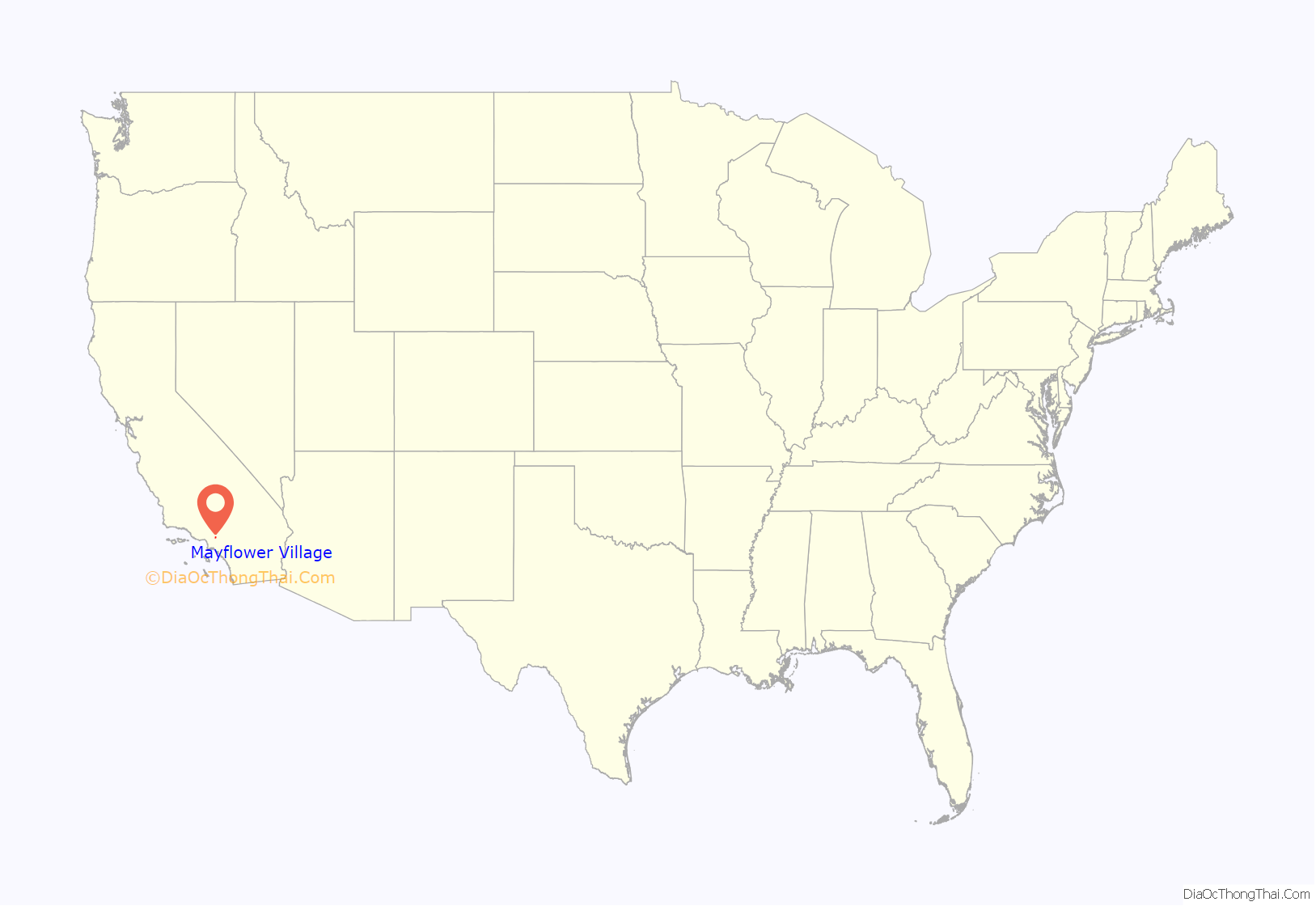
Mayflower Village location map. Where is Mayflower Village CDP?
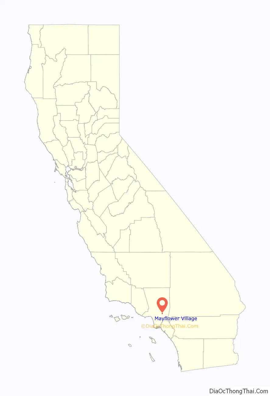
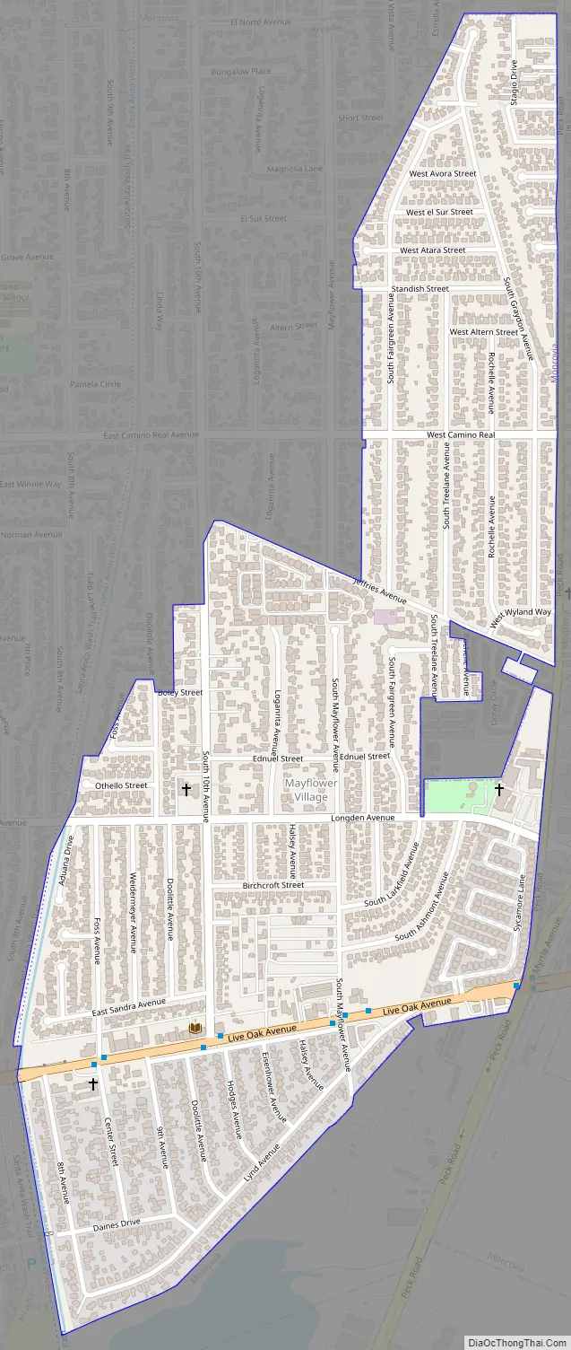
Mayflower Village Road Map
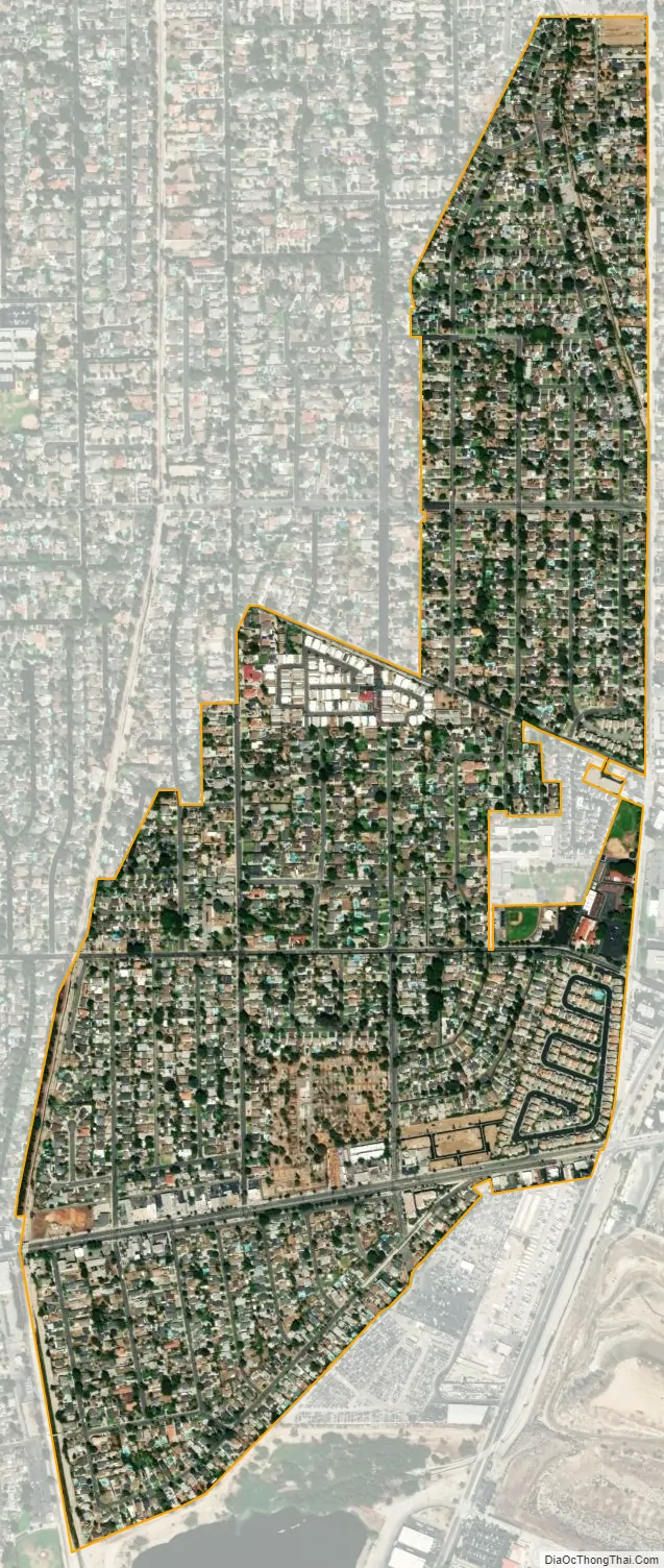
Mayflower Village city Satellite Map
Geography
According to the United States Census Bureau, the CDP has a total area of 0.7 square miles (1.8 km), all land.
See also
Map of California State and its subdivision:- Alameda
- Alpine
- Amador
- Butte
- Calaveras
- Colusa
- Contra Costa
- Del Norte
- El Dorado
- Fresno
- Glenn
- Humboldt
- Imperial
- Inyo
- Kern
- Kings
- Lake
- Lassen
- Los Angeles
- Madera
- Marin
- Mariposa
- Mendocino
- Merced
- Modoc
- Mono
- Monterey
- Napa
- Nevada
- Orange
- Placer
- Plumas
- Riverside
- Sacramento
- San Benito
- San Bernardino
- San Diego
- San Francisco
- San Joaquin
- San Luis Obispo
- San Mateo
- Santa Barbara
- Santa Clara
- Santa Cruz
- Shasta
- Sierra
- Siskiyou
- Solano
- Sonoma
- Stanislaus
- Sutter
- Tehama
- Trinity
- Tulare
- Tuolumne
- Ventura
- Yolo
- Yuba
- Alabama
- Alaska
- Arizona
- Arkansas
- California
- Colorado
- Connecticut
- Delaware
- District of Columbia
- Florida
- Georgia
- Hawaii
- Idaho
- Illinois
- Indiana
- Iowa
- Kansas
- Kentucky
- Louisiana
- Maine
- Maryland
- Massachusetts
- Michigan
- Minnesota
- Mississippi
- Missouri
- Montana
- Nebraska
- Nevada
- New Hampshire
- New Jersey
- New Mexico
- New York
- North Carolina
- North Dakota
- Ohio
- Oklahoma
- Oregon
- Pennsylvania
- Rhode Island
- South Carolina
- South Dakota
- Tennessee
- Texas
- Utah
- Vermont
- Virginia
- Washington
- West Virginia
- Wisconsin
- Wyoming


