Mendocino (Spanish for “of Mendoza”) is an unincorporated community and census-designated place (CDP) in Mendocino County, California, United States. Mendocino is located 10 miles (16 km) south of Fort Bragg at an elevation of 154 feet (47 m). The population of the CDP was 932 at the 2020 census. The town’s name comes from Cape Mendocino 85 miles (137 km) to the north, named by early Spanish navigators in honor of Antonio de Mendoza, Viceroy of New Spain.
Despite its small size, the town’s scenic location on a headland surrounded by the Pacific Ocean has made it extremely popular as an artists’ colony and with vacationers.
| Name: | Mendocino CDP |
|---|---|
| LSAD Code: | 57 |
| LSAD Description: | CDP (suffix) |
| State: | California |
| County: | Mendocino County |
| Elevation: | 154 ft (47 m) |
| Total Area: | 3.032 sq mi (7.85 km²) |
| Land Area: | 2.257 sq mi (5.85 km²) |
| Water Area: | 0.775 sq mi (2.01 km²) 25.56% |
| Total Population: | 932 |
| Population Density: | 412.9/sq mi (159.4/km²) |
| ZIP code: | 95460 |
| Area code: | 707 |
| FIPS code: | 0646814 |
| GNISfeature ID: | 1659106 |
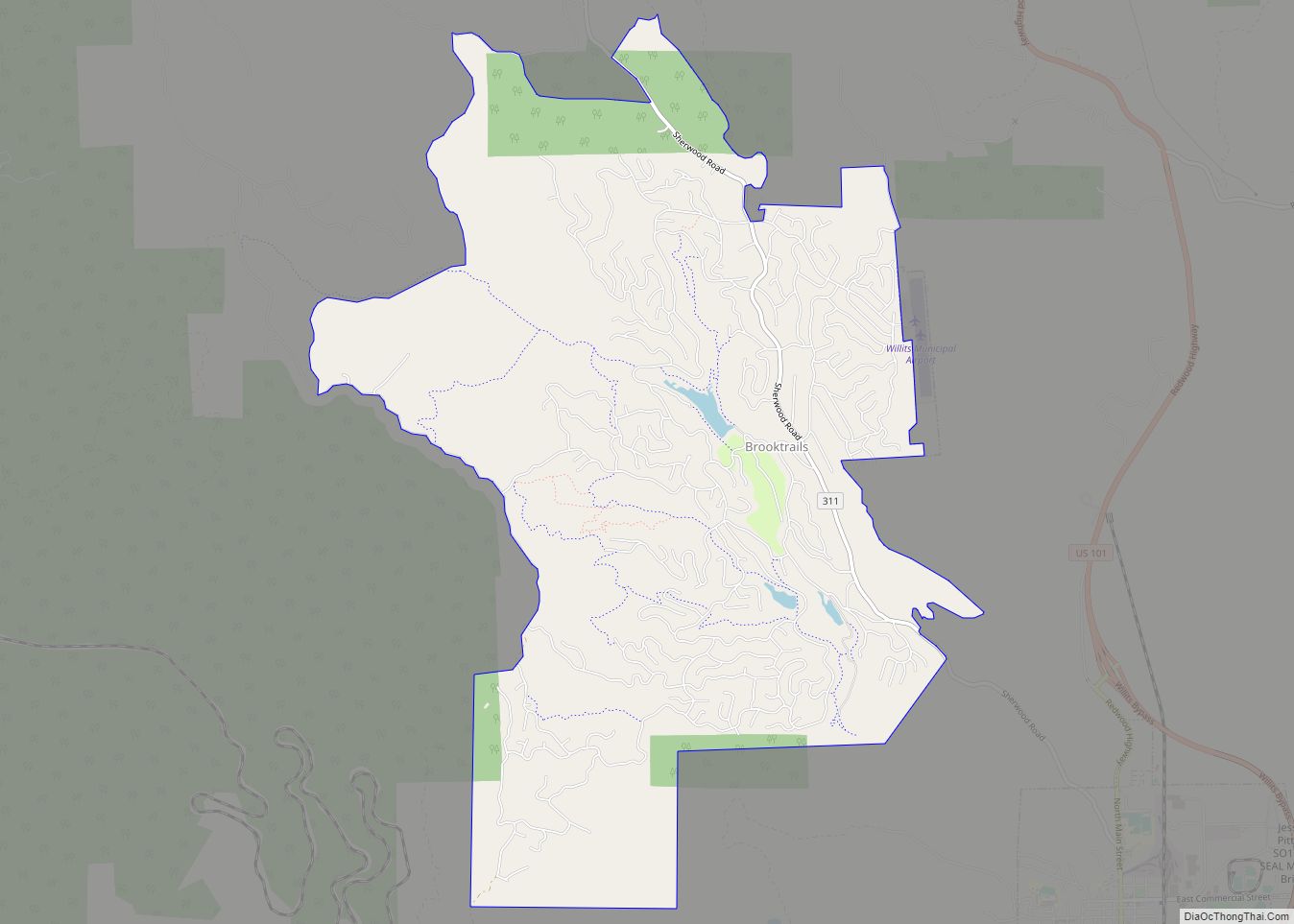
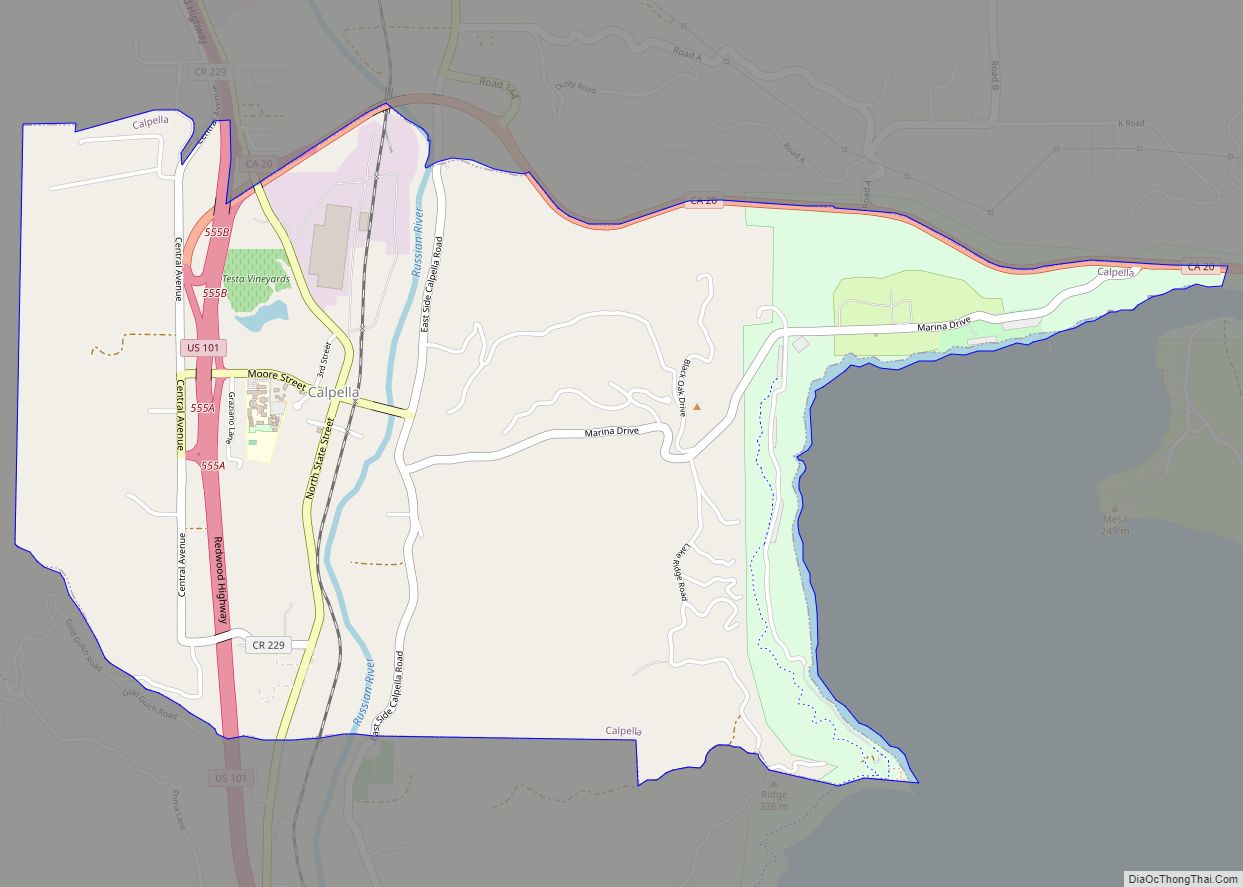
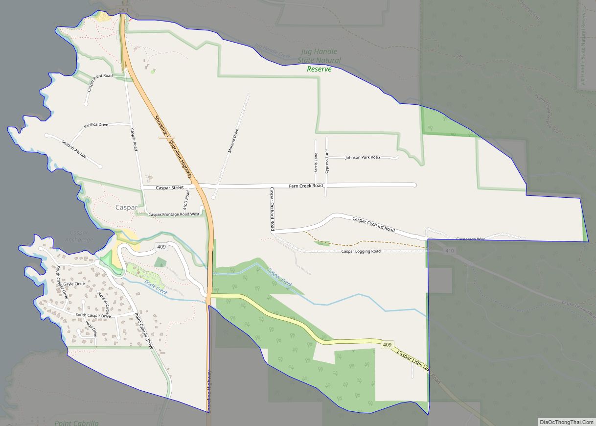
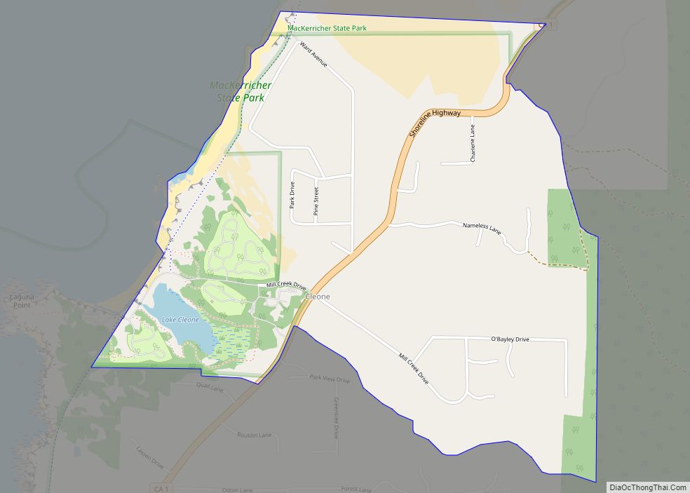
Online Interactive Map
Click on ![]() to view map in "full screen" mode.
to view map in "full screen" mode.
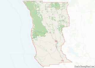
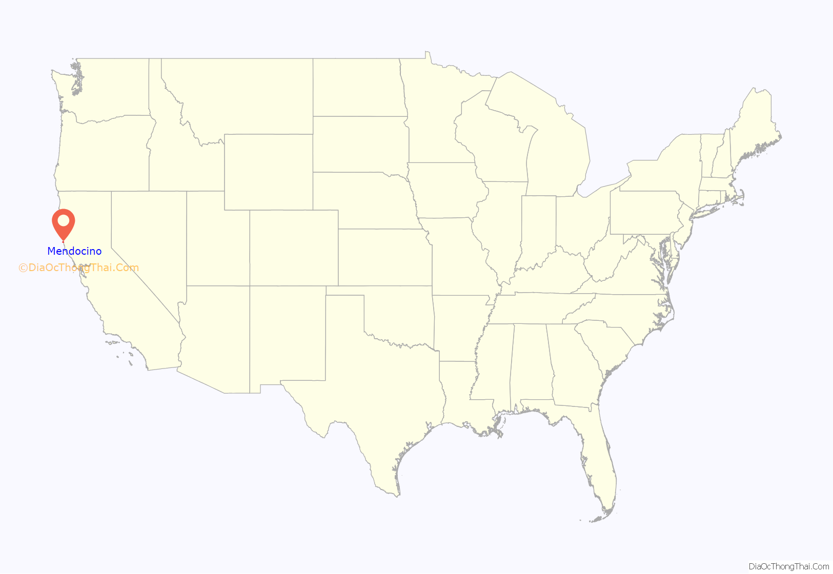
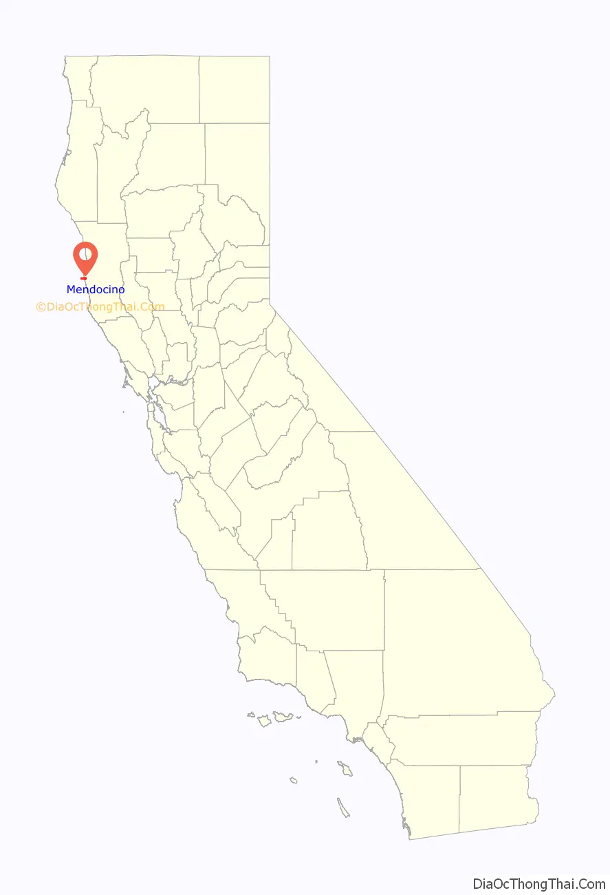
Mendocino location map. Where is Mendocino CDP?
History
Prior to 1850, a Pomo settlement named Buldam was located near Mendocino on the north bank of the Big River. In 1850, the ship Frolic was wrecked a few miles north of Mendocino, at Point Cabrillo, and the investigation of the wreck by agents of Henry Meiggs sparked the development of the timber industry in the area. Mendocino itself was founded in 1852 as a logging community for what became the Mendocino Lumber Company, and was originally named “Meiggsville” after Meiggs. The town was also known as “Big River” Meiggstown, and “Mendocino City”, before the current name was settled on. The first post office opened in 1858. Many of the town’s early settlers were New Englanders, as was true of many older Northern California logging towns. Portuguese fishermen from the Azores also settled in the area, as did immigrants from Canton Province in China, who built the Taoist Temple of Kwan Tai in town.
Mendocino’s economy declined after 1940, and it became a somewhat isolated village with a shrinking population. The revitalization of the town began in the late 1950s with the founding of the Mendocino Art Center by artist Bill Zacha.
Most of the town was added to the National Register of Historic Places in 1971 as the Mendocino and Headlands Historic District. Mendocino Presbyterian Church on Main Street, dedicated on July 5, 1868, is one of the oldest continuously used Protestant churches in California, and is designated as California Historical Landmark #714. In addition, the Temple of Kwan Tai on Albion Street, California Historical Landmark #927, may be as old as 1854 and is one of the oldest Chinese houses of worship in California.
Since 1987, Mendocino has been the site of the Mendocino Music Festival, a classically based but musically diverse series of concerts that is held annually in a huge circus-type performance tent on the town’s Main Street in the Mendocino Headlands State Park.
The Kelley House Museum has a cannon from the Frolic.
In 2021, there was a water shortage which forced businesses to transport their own drinking water.
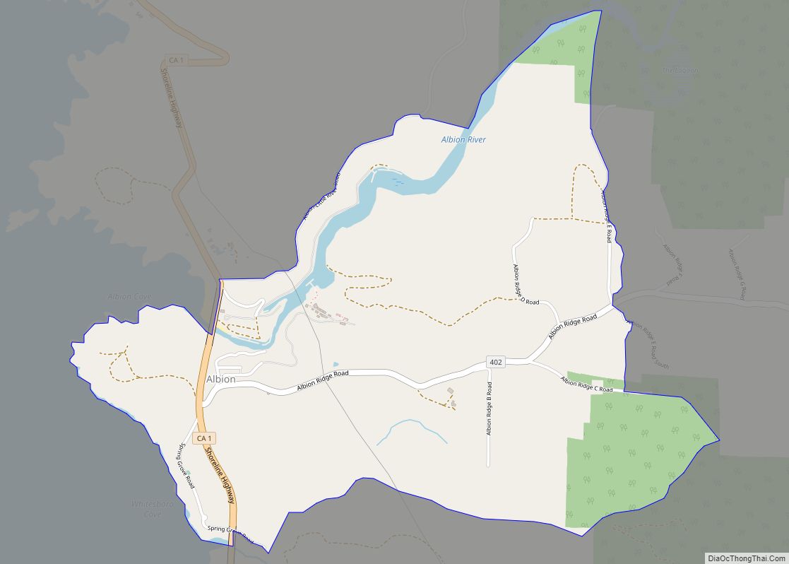
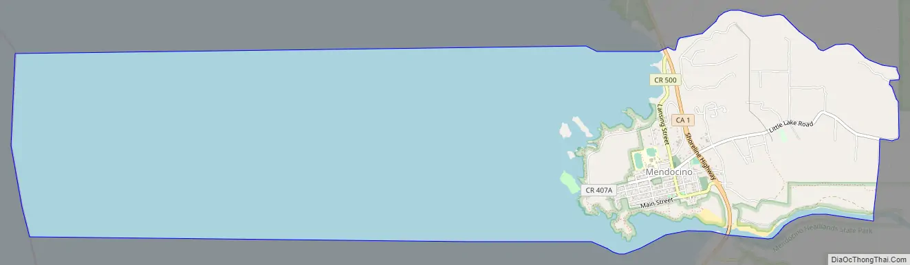
Mendocino Road Map
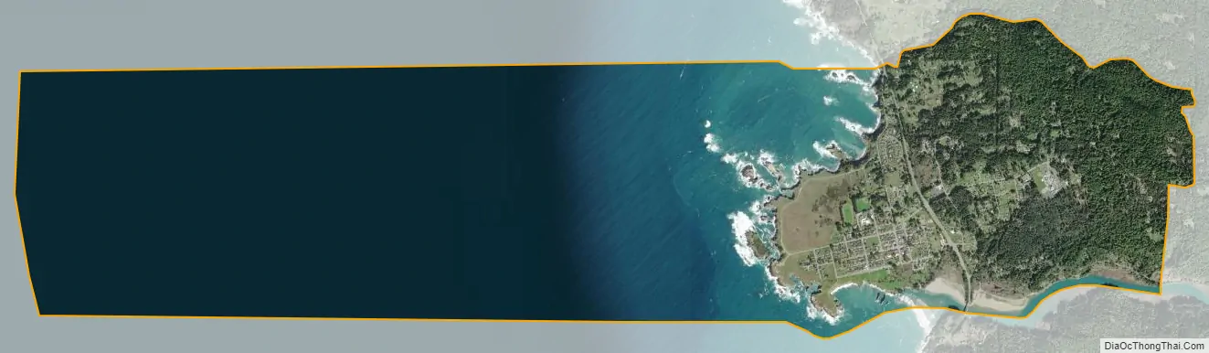
Mendocino city Satellite Map
Geography
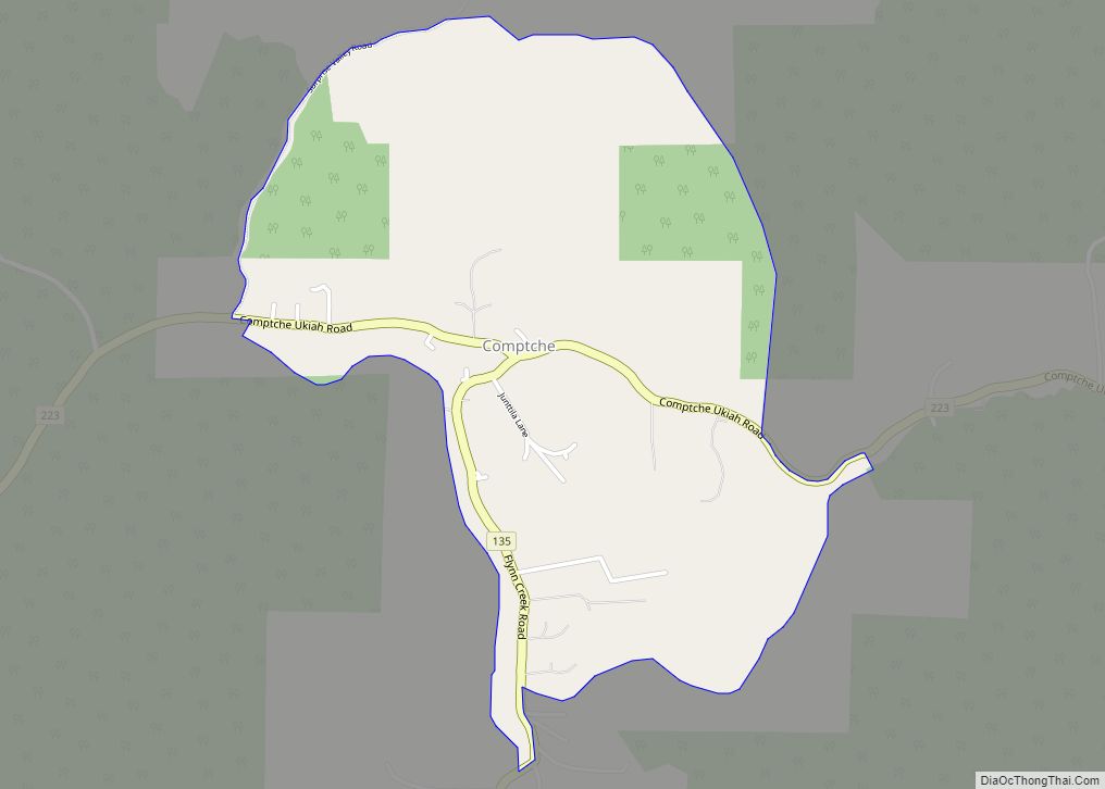
Mendocino is located on the west coast of Mendocino County (and the United States) at 39°18′28″N 123°47′58″W / 39.30778°N 123.79944°W / 39.30778; -123.79944. California State Route 1 (Shoreline Highway) runs along the eastern edge of the downtown area; it leads north 10 miles (16 km) to Fort Bragg and south 29 miles (47 km) to Manchester. Comptche-Ukiah Road departs east from Route 1 just south of the town, leading across the California Coast Ranges 14 miles (23 km) to Comptche, and 44 miles (71 km) to Ukiah, the Mendocino county seat.
According to the United States Census Bureau, the Mendocino CDP has a total area of 3.0 square miles (7.8 km), of which 2.3 square miles (6.0 km) are land and 0.8 square miles (2.1 km), or 25.56%, are water. The Big River forms the southern edge of the community and joins the Pacific Ocean at Big River Beach within Mendocino Headlands State Park, a quarter mile south of the center of town.
In 2021, some aquifers feeding the settlement’s demand for water failed. Wells in the area are typically dug to a depth of 8 to 30 feet (2.4 to 9.1 m). One well was dug to a depth of 165 feet (50 m), without successfully tapping into an aquifer. Water is now brought in by tankers, and local businesses have fitted chemical toilets to conserve water.
Climate
Mendocino has a cool summer Maritime Mediterranean climate. Summers are characterized by frequent fog and highs mostly in the upper sixties and lows in the fifties. Winters rarely, if ever, see frost or snow, due to close proximity to the Pacific Ocean. Mendocino averages about 43 inches (1,100 mm) of rain per year, concentrated mainly in fall, winter, spring, and early summer.
This region experiences warm (but not hot) and dry summers, with no average monthly temperatures above 71.6 °F (22 °C). According to the Köppen Climate Classification system, Mendocino has a warm-summer Mediterranean climate, abbreviated “Csb” on climate maps.
See also
Map of California State and its subdivision:- Alameda
- Alpine
- Amador
- Butte
- Calaveras
- Colusa
- Contra Costa
- Del Norte
- El Dorado
- Fresno
- Glenn
- Humboldt
- Imperial
- Inyo
- Kern
- Kings
- Lake
- Lassen
- Los Angeles
- Madera
- Marin
- Mariposa
- Mendocino
- Merced
- Modoc
- Mono
- Monterey
- Napa
- Nevada
- Orange
- Placer
- Plumas
- Riverside
- Sacramento
- San Benito
- San Bernardino
- San Diego
- San Francisco
- San Joaquin
- San Luis Obispo
- San Mateo
- Santa Barbara
- Santa Clara
- Santa Cruz
- Shasta
- Sierra
- Siskiyou
- Solano
- Sonoma
- Stanislaus
- Sutter
- Tehama
- Trinity
- Tulare
- Tuolumne
- Ventura
- Yolo
- Yuba
- Alabama
- Alaska
- Arizona
- Arkansas
- California
- Colorado
- Connecticut
- Delaware
- District of Columbia
- Florida
- Georgia
- Hawaii
- Idaho
- Illinois
- Indiana
- Iowa
- Kansas
- Kentucky
- Louisiana
- Maine
- Maryland
- Massachusetts
- Michigan
- Minnesota
- Mississippi
- Missouri
- Montana
- Nebraska
- Nevada
- New Hampshire
- New Jersey
- New Mexico
- New York
- North Carolina
- North Dakota
- Ohio
- Oklahoma
- Oregon
- Pennsylvania
- Rhode Island
- South Carolina
- South Dakota
- Tennessee
- Texas
- Utah
- Vermont
- Virginia
- Washington
- West Virginia
- Wisconsin
- Wyoming