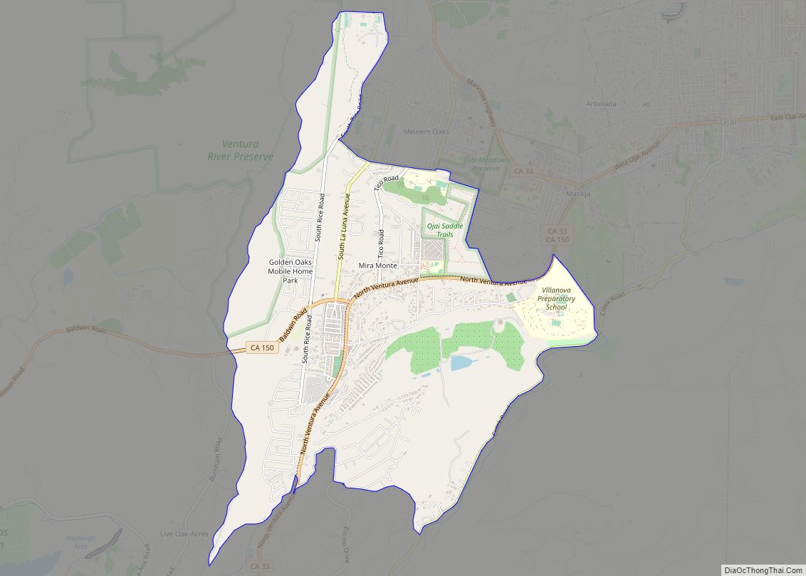
Mira Monte (/ˌmɪərə ˈmɒnti/ (listen); Spanish for “Mountain View”) is a rural community in Ventura County, California, United States. Mira Monte is located in between the communities of Oak View, Meiners Oaks, and southwest of the City of Ojai, California. For statistical purposes, the United States Census Bureau has defined Mira Monte as a census-designated place (CDP). The census definition of the area may not precisely correspond to local understanding of the area with the same name. According to the 2020 census, the population of Mira Monte is 6,618, down from 6,845 at the 2010 census.
| Name: | Mira Monte CDP |
|---|---|
| LSAD Code: | 57 |
| LSAD Description: | CDP (suffix) |
| State: | California |
| County: | Ventura County |
| Elevation: | 643 ft (196 m) |
| Total Area: | 4.587 sq mi (11.881 km²) |
| Land Area: | 4.570 sq mi (11.837 km²) |
| Water Area: | 0.017 sq mi (0.045 km²) 0.38% |
| Total Population: | 6,618 |
| Population Density: | 1,400/sq mi (560/km²) |
| ZIP code: | 93023 |
| Area code: | 805 |
| FIPS code: | 0648046 |
| GNISfeature ID: | 1661036 |
Online Interactive Map
Click on ![]() to view map in "full screen" mode.
to view map in "full screen" mode.
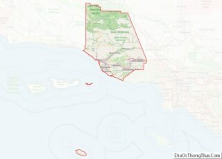
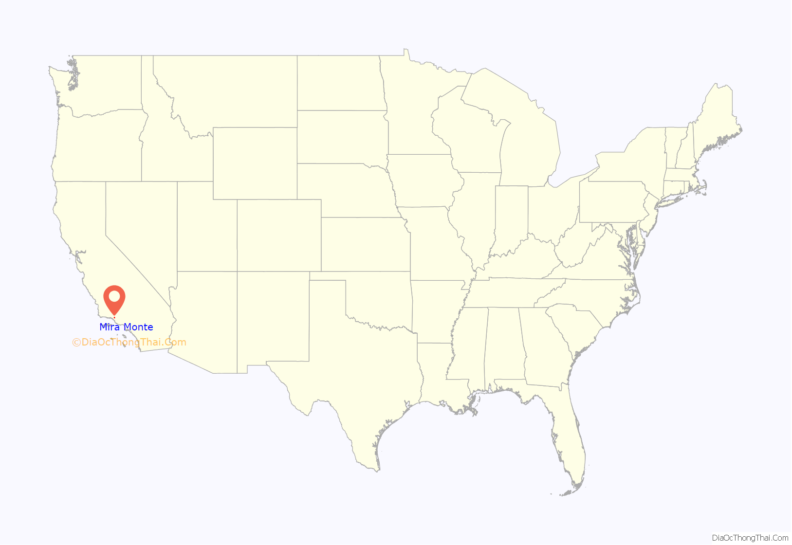
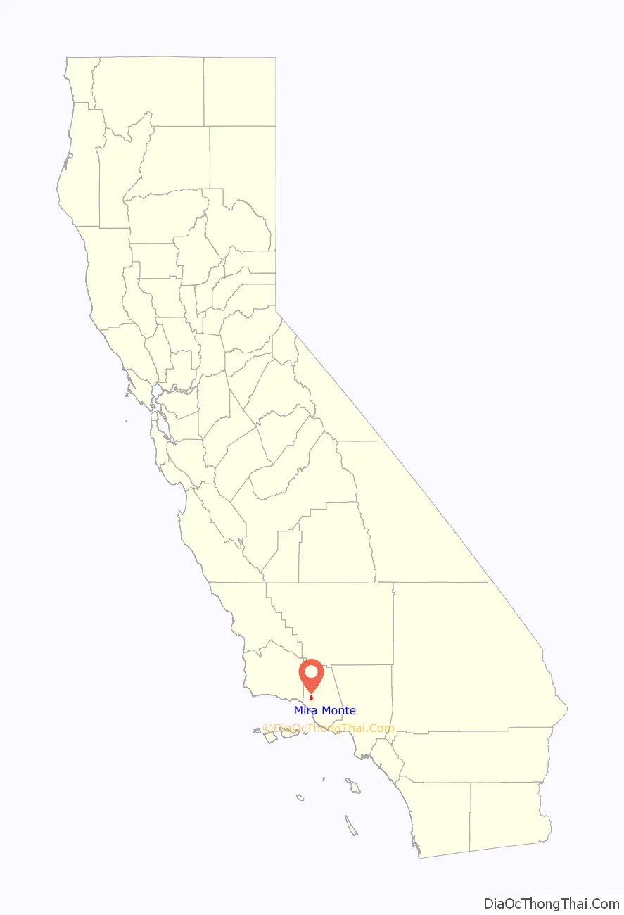
Mira Monte location map. Where is Mira Monte CDP?
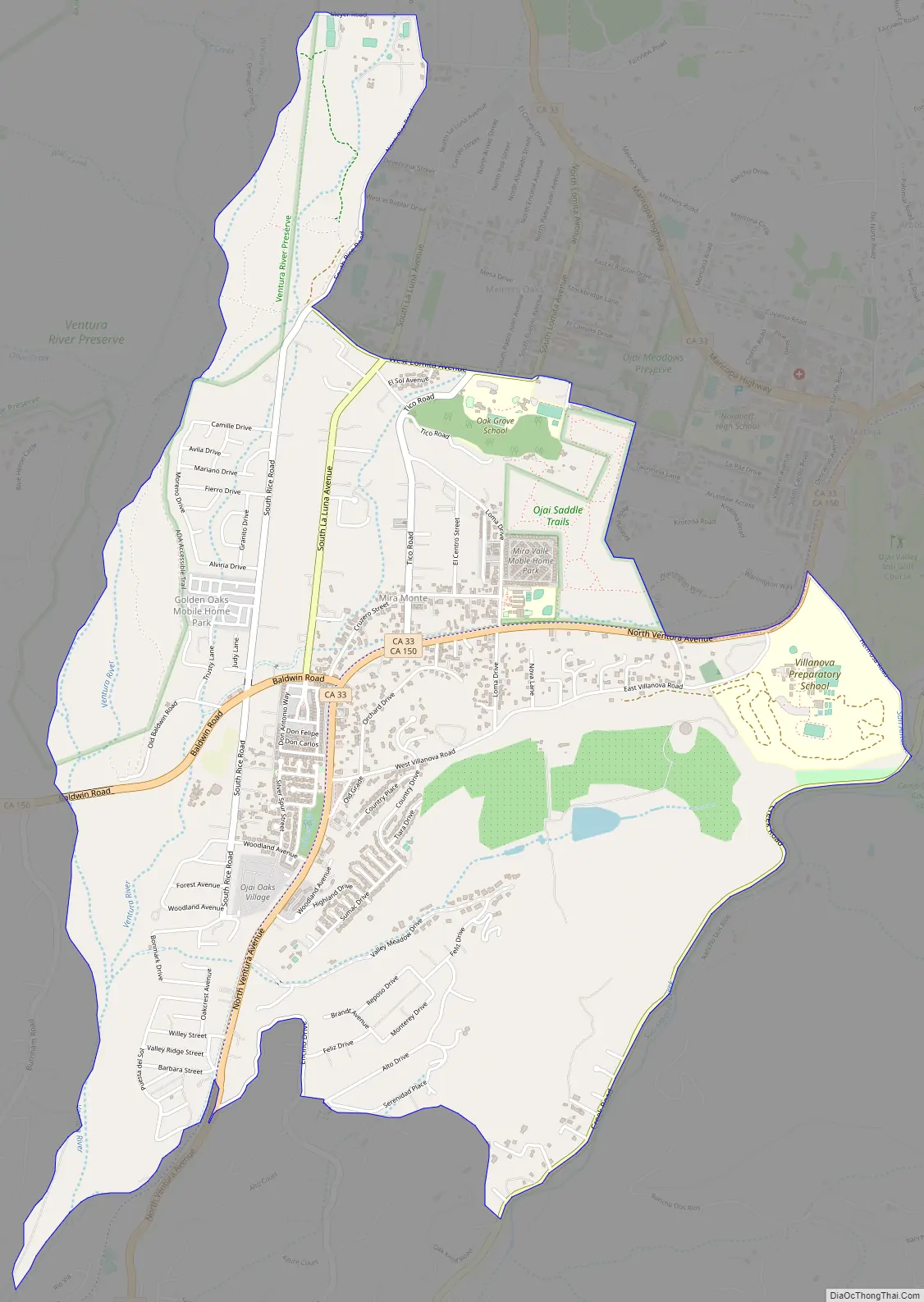
Mira Monte Road Map
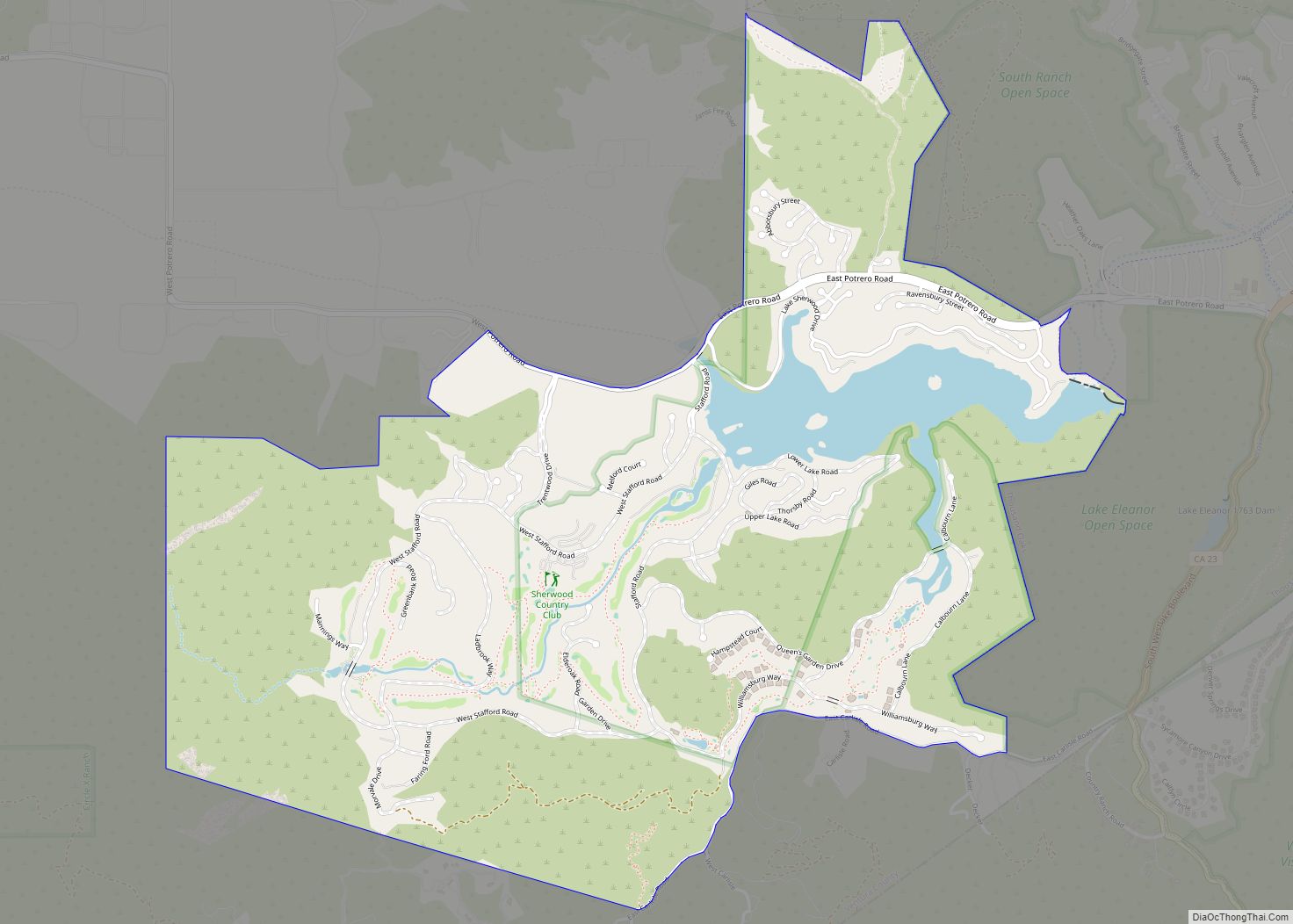
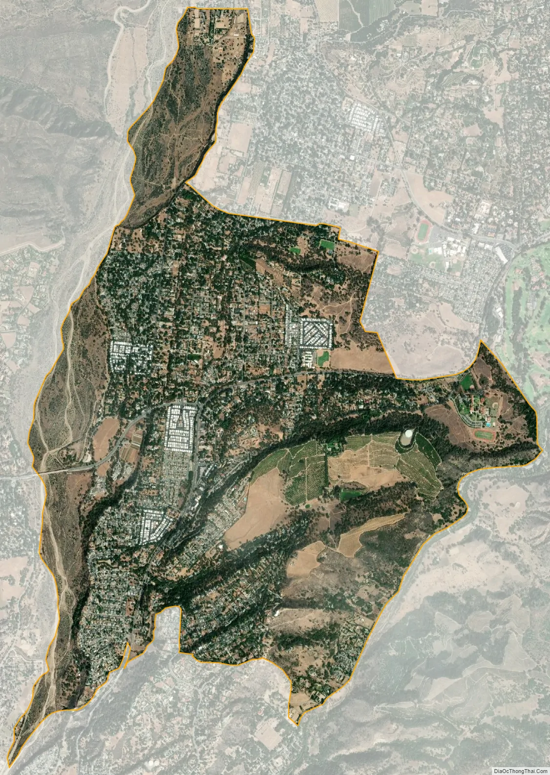
Mira Monte city Satellite Map
Geography
The Ventura River forms the western boundary of the community with the base of Sulfur mountain running along the east boundary. California State Route 33 and Route 150 bisect the community. Mira Monte was served by the Ventura and Ojai Valley Railroad from 1898 to 1969.
See also
Map of California State and its subdivision:- Alameda
- Alpine
- Amador
- Butte
- Calaveras
- Colusa
- Contra Costa
- Del Norte
- El Dorado
- Fresno
- Glenn
- Humboldt
- Imperial
- Inyo
- Kern
- Kings
- Lake
- Lassen
- Los Angeles
- Madera
- Marin
- Mariposa
- Mendocino
- Merced
- Modoc
- Mono
- Monterey
- Napa
- Nevada
- Orange
- Placer
- Plumas
- Riverside
- Sacramento
- San Benito
- San Bernardino
- San Diego
- San Francisco
- San Joaquin
- San Luis Obispo
- San Mateo
- Santa Barbara
- Santa Clara
- Santa Cruz
- Shasta
- Sierra
- Siskiyou
- Solano
- Sonoma
- Stanislaus
- Sutter
- Tehama
- Trinity
- Tulare
- Tuolumne
- Ventura
- Yolo
- Yuba
- Alabama
- Alaska
- Arizona
- Arkansas
- California
- Colorado
- Connecticut
- Delaware
- District of Columbia
- Florida
- Georgia
- Hawaii
- Idaho
- Illinois
- Indiana
- Iowa
- Kansas
- Kentucky
- Louisiana
- Maine
- Maryland
- Massachusetts
- Michigan
- Minnesota
- Mississippi
- Missouri
- Montana
- Nebraska
- Nevada
- New Hampshire
- New Jersey
- New Mexico
- New York
- North Carolina
- North Dakota
- Ohio
- Oklahoma
- Oregon
- Pennsylvania
- Rhode Island
- South Carolina
- South Dakota
- Tennessee
- Texas
- Utah
- Vermont
- Virginia
- Washington
- West Virginia
- Wisconsin
- Wyoming