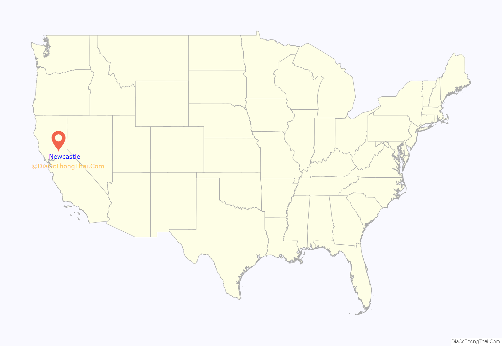
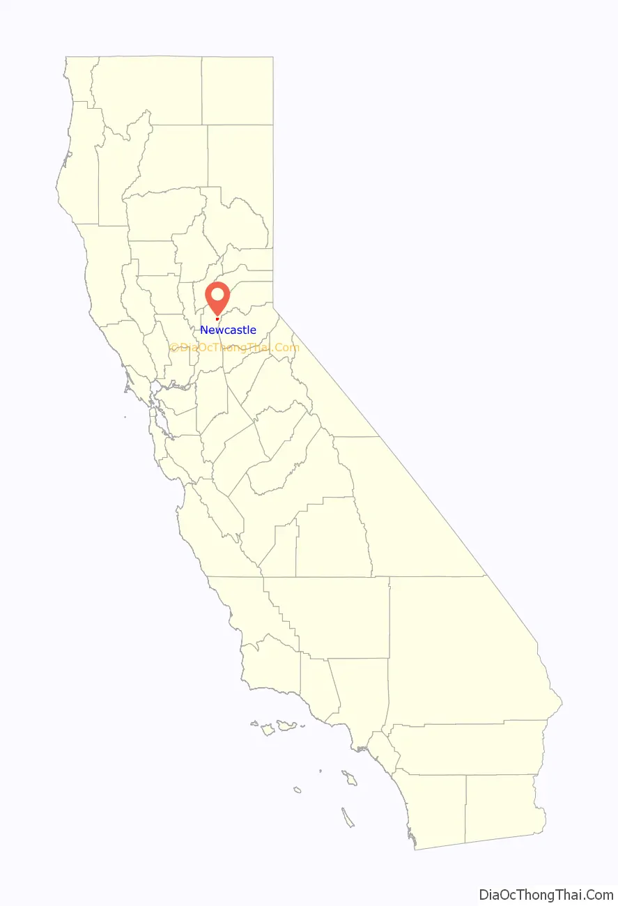
Newcastle is an unincorporated community and census-designated place (CDP) in Placer County, California. Nestled in the Sierra Nevada foothills, Newcastle is located 8 miles (12.9 km) northeast of Rocklin and 31 miles northeast of Sacramento. Newcastle generally has moderate winters and warm summers.
The latitude of Newcastle is 38.874N, the longitude is -121.132W, and an elevation of 945 ft (288 m). The town’s zip code is 95658 and is in area codes 916 and 279.
The population of the CDP as of the 2010 U.S. Census is 1,224.
| Name: | Newcastle CDP |
|---|---|
| LSAD Code: | 57 |
| LSAD Description: | CDP (suffix) |
| State: | California |
| County: | Placer County |
| Elevation: | 945 ft (288 m) |
| Total Area: | 2.396 sq mi (6.206 km²) |
| Land Area: | 2.392 sq mi (6.195 km²) |
| Water Area: | 0.004 sq mi (0.011 km²) 0.18% |
| Total Population: | 1,224 |
| Population Density: | 510/sq mi (200/km²) |
| ZIP code: | 95658 |
| Area code: | 916, 279 |
| FIPS code: | 0651000 |
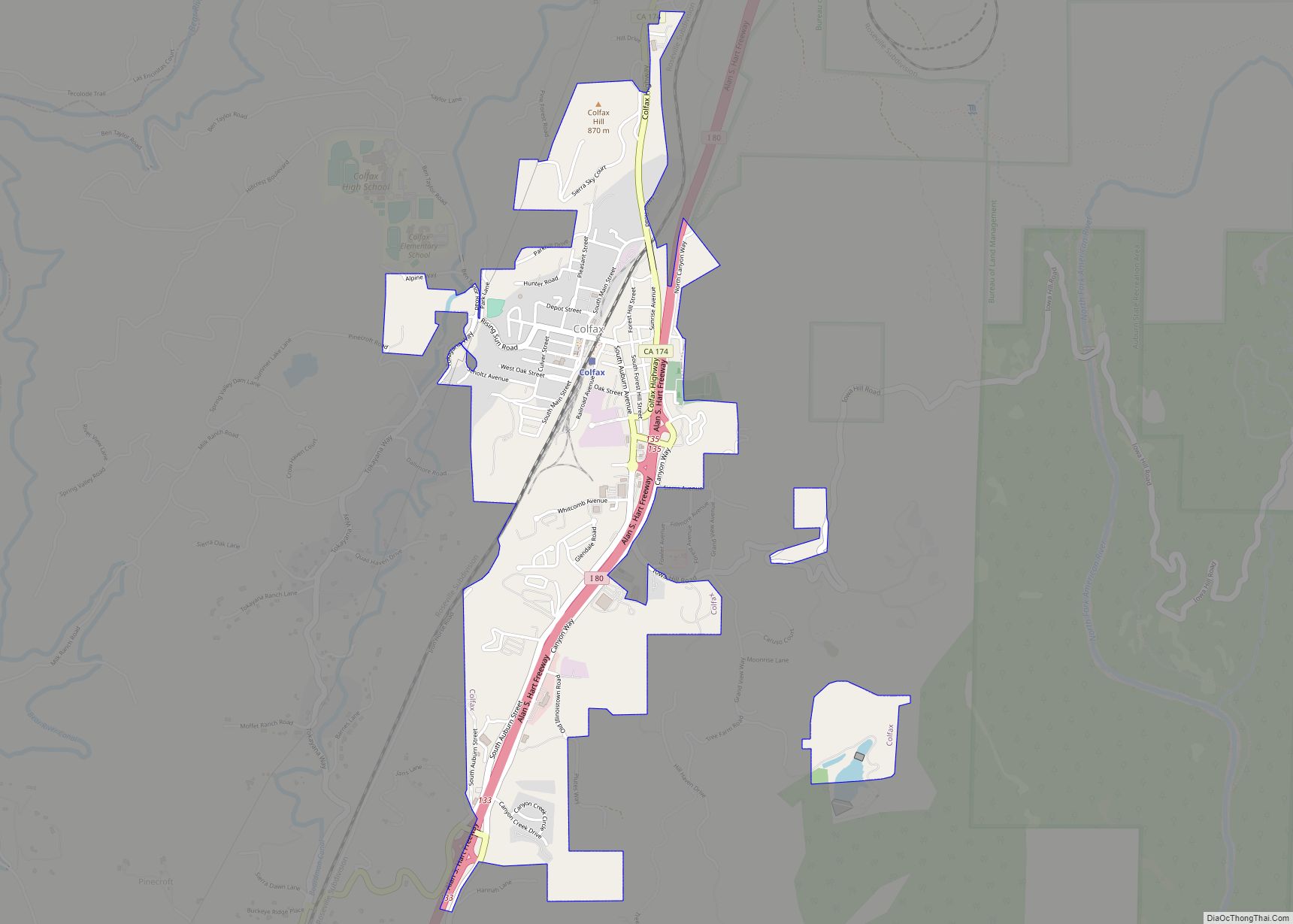
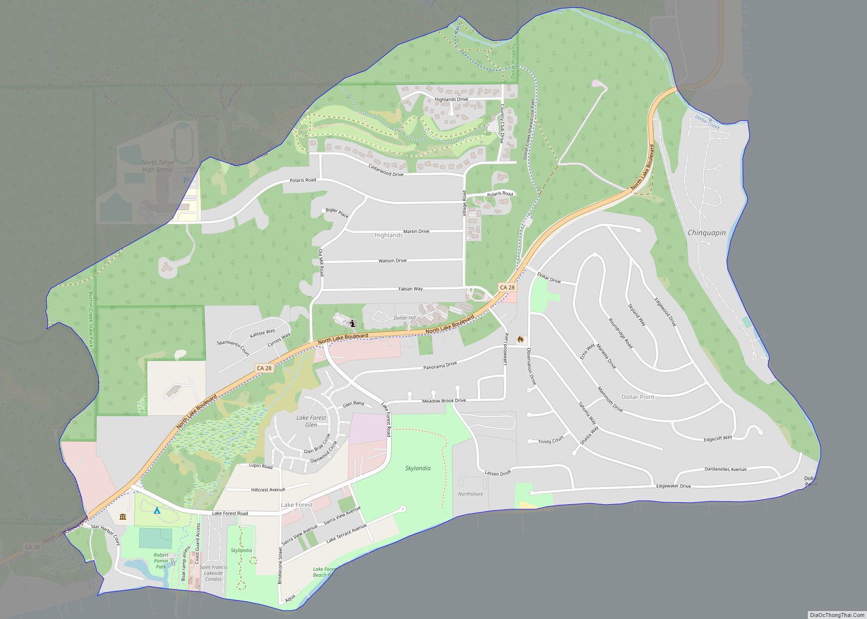
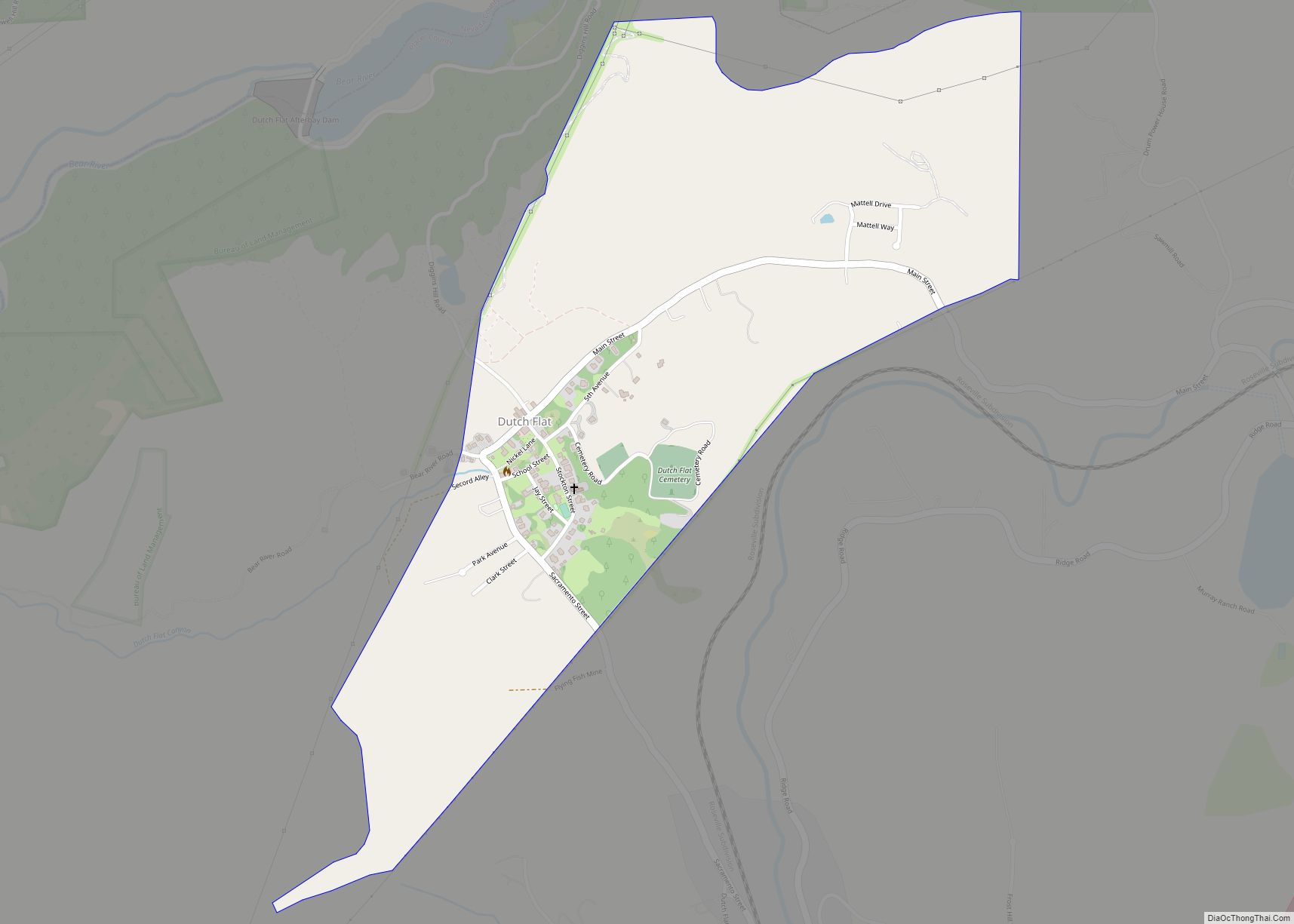
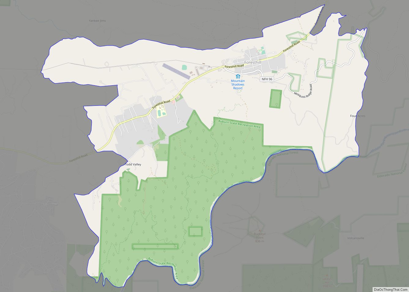
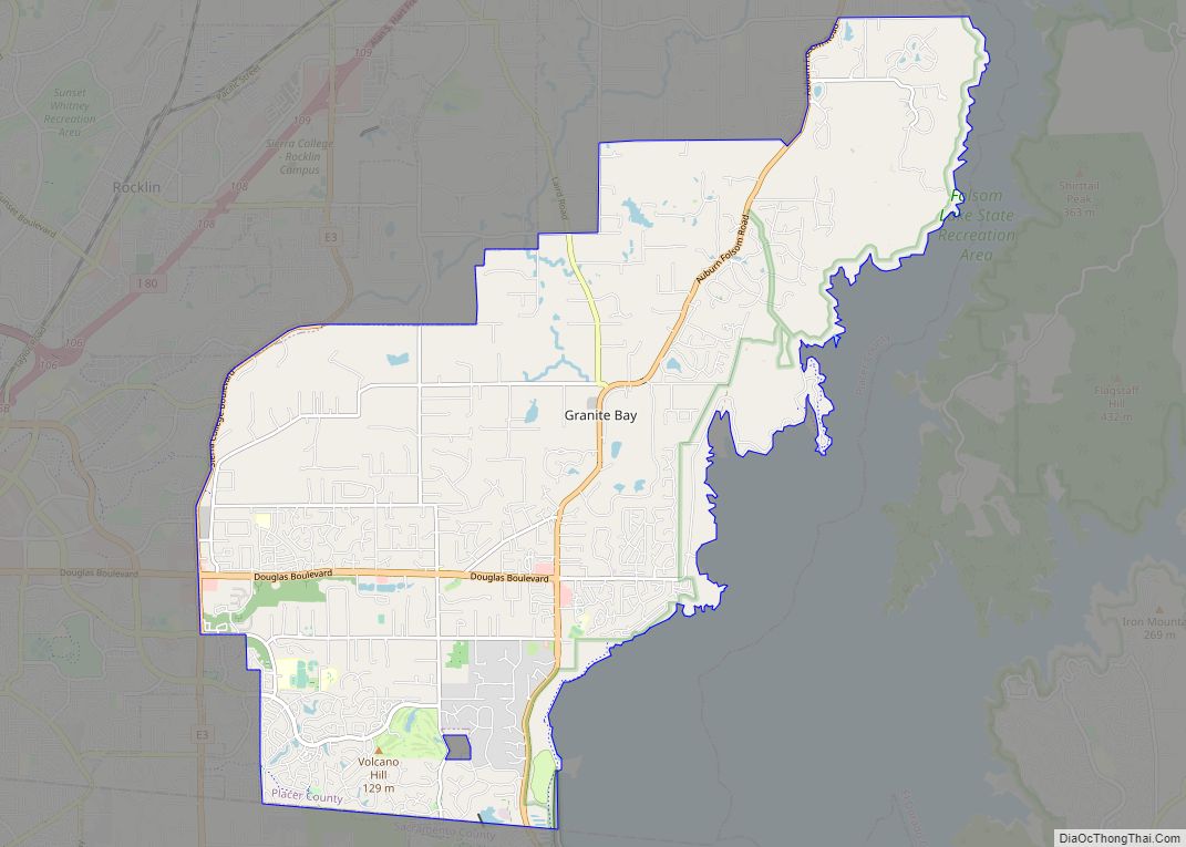
Online Interactive Map
Click on ![]() to view map in "full screen" mode.
to view map in "full screen" mode.
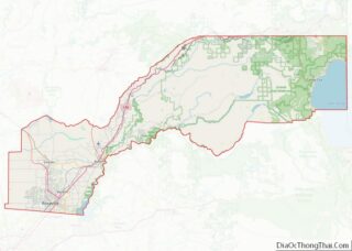
Newcastle location map. Where is Newcastle CDP?
History
Newcastle was founded in the 19th century. According to Transcontinental Railroad Landmarks the “Regular freight and passenger trains began operating over the first 31 miles of Central Pacific’s line to Newcastle June 10, 1864, when political opposition and lack of money stopped further construction during that mild winter. Construction was resumed in April, 1865.” The region is also in the vicinity of what was the cradle of “gold country”, where in the mid-19th century a flurry of miners and gold prospectors searched for their fortune. During this time, however, the town of Newcastle was known more for its orchards rather than abundant gold mines.
The Newcastle post office opened in 1864.
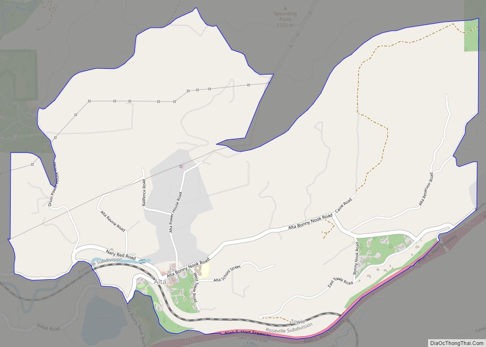
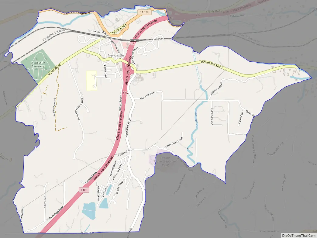
Newcastle Road Map
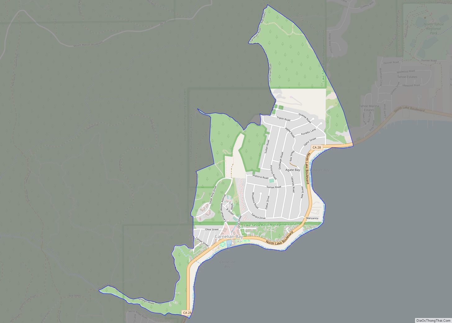
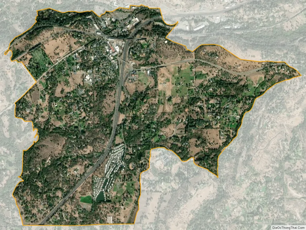
Newcastle city Satellite Map
Geography
According to the United States Census Bureau, the CDP covers an area of 2.4 square miles (6.2 km), 99.82% of it land, and 0.18% of it water.
See also
Map of California State and its subdivision:- Alameda
- Alpine
- Amador
- Butte
- Calaveras
- Colusa
- Contra Costa
- Del Norte
- El Dorado
- Fresno
- Glenn
- Humboldt
- Imperial
- Inyo
- Kern
- Kings
- Lake
- Lassen
- Los Angeles
- Madera
- Marin
- Mariposa
- Mendocino
- Merced
- Modoc
- Mono
- Monterey
- Napa
- Nevada
- Orange
- Placer
- Plumas
- Riverside
- Sacramento
- San Benito
- San Bernardino
- San Diego
- San Francisco
- San Joaquin
- San Luis Obispo
- San Mateo
- Santa Barbara
- Santa Clara
- Santa Cruz
- Shasta
- Sierra
- Siskiyou
- Solano
- Sonoma
- Stanislaus
- Sutter
- Tehama
- Trinity
- Tulare
- Tuolumne
- Ventura
- Yolo
- Yuba
- Alabama
- Alaska
- Arizona
- Arkansas
- California
- Colorado
- Connecticut
- Delaware
- District of Columbia
- Florida
- Georgia
- Hawaii
- Idaho
- Illinois
- Indiana
- Iowa
- Kansas
- Kentucky
- Louisiana
- Maine
- Maryland
- Massachusetts
- Michigan
- Minnesota
- Mississippi
- Missouri
- Montana
- Nebraska
- Nevada
- New Hampshire
- New Jersey
- New Mexico
- New York
- North Carolina
- North Dakota
- Ohio
- Oklahoma
- Oregon
- Pennsylvania
- Rhode Island
- South Carolina
- South Dakota
- Tennessee
- Texas
- Utah
- Vermont
- Virginia
- Washington
- West Virginia
- Wisconsin
- Wyoming