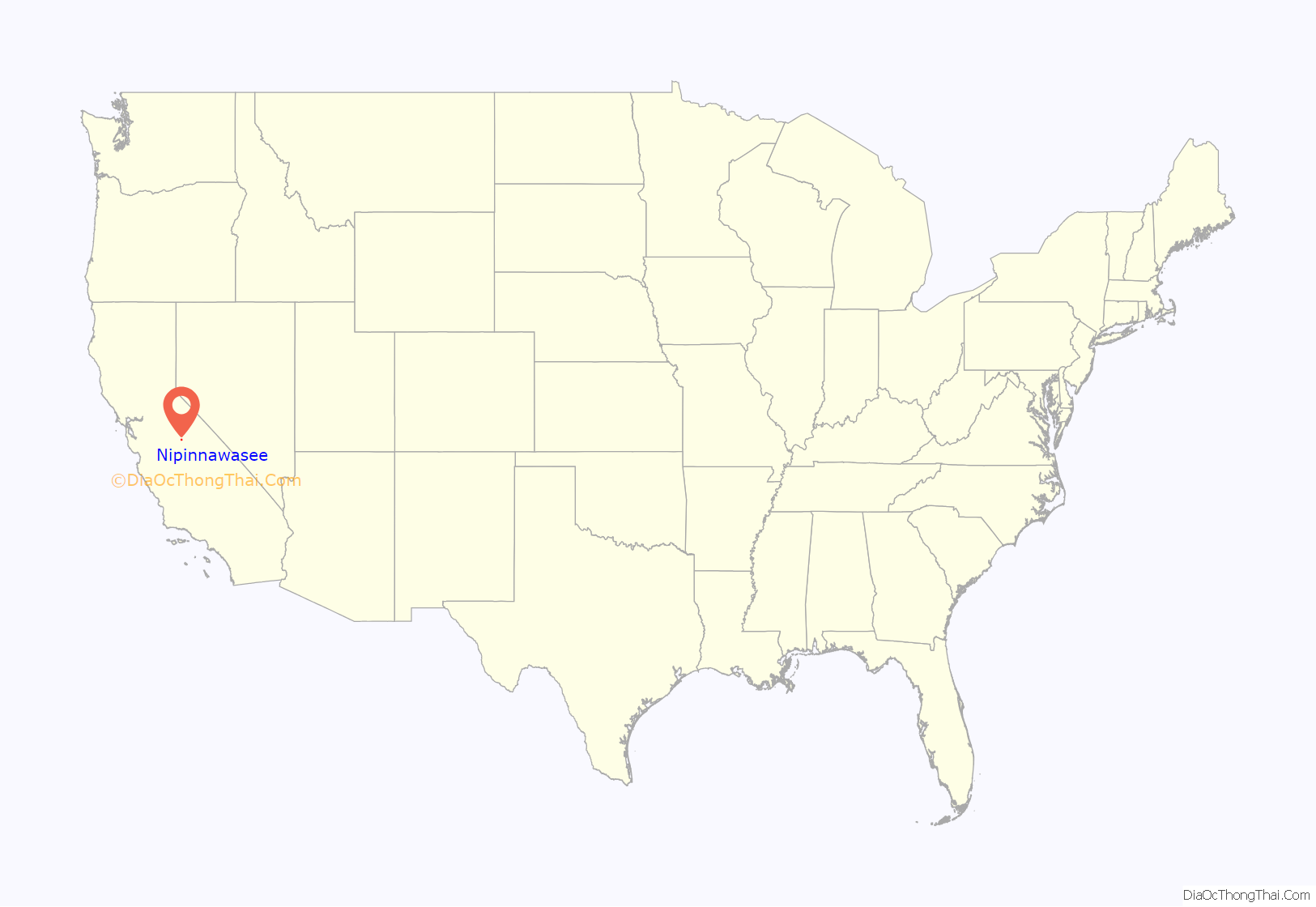
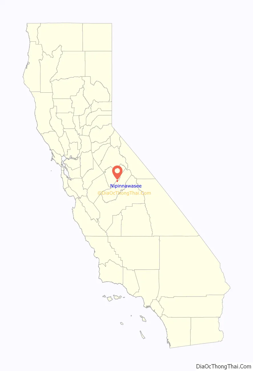
Nipinnawasee (formerly Nipinnawassee, Nippinnawasee, and Nippinnawassee) is a census-designated place in Madera County, California, United States. It is located 1 mile (1.6 km) southeast of Miami Mountain in the Sierra Nevada, 14 miles (22.5 km) southeast of Mariposa, at an elevation of 2,930 feet (890 m). The population was 434 at the 2020 census.
| Name: | Nipinnawasee CDP |
|---|---|
| LSAD Code: | 57 |
| LSAD Description: | CDP (suffix) |
| State: | California |
| County: | Madera County |
| Elevation: | 2,930 ft (893 m) |
| Total Area: | 3.09 sq mi (8.0 km²) |
| Land Area: | 3.09 sq mi (8.0 km²) |
| Water Area: | 0 sq mi (0 km²) |
| Total Population: | 434 |
| Population Density: | 140/sq mi (54/km²) |
| ZIP code: | 93601 (Ahwahnee) |
| FIPS code: | 0651470 |
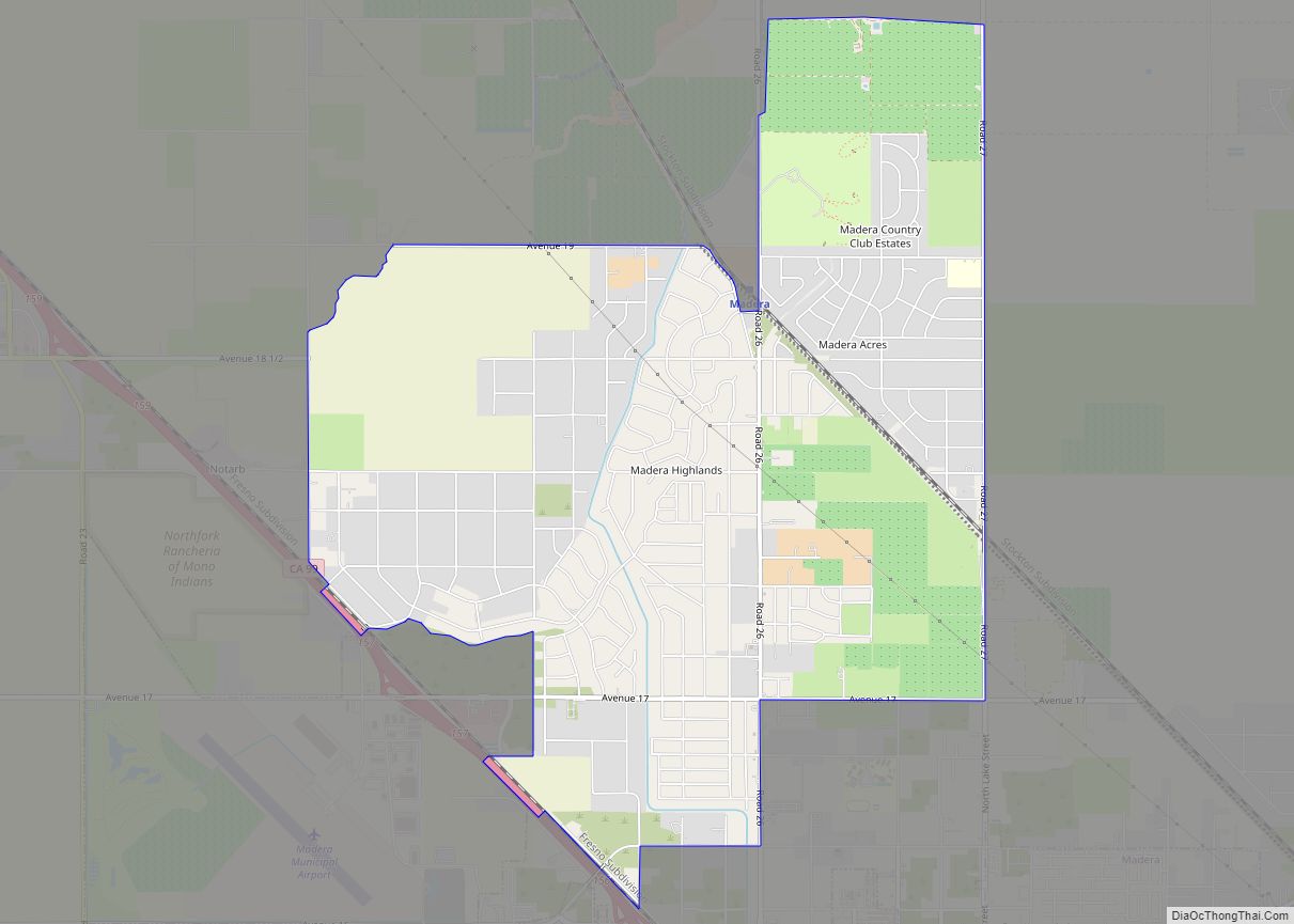
Online Interactive Map
Click on ![]() to view map in "full screen" mode.
to view map in "full screen" mode.
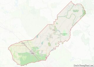
Nipinnawasee location map. Where is Nipinnawasee CDP?
History
The town was named about 1908 by Edgar B. Landon who brought the name from Michigan, where, according to the Native Americans of his native district, it means “plenty of deer”. The name was accepted by the Post Office in 1915.
A post office operated at Nipinnawasee from 1912 to 1961. Unfortunately, it was destroyed in 1961 when a fire consumed the entire town in just 15 minutes. Nipinnawasee proper was never rebuilt, although people continue to live in the area for the views of the Sierras. Most residents travel into Oakhurst, 9 miles (14 km) to the southeast, for their business needs.
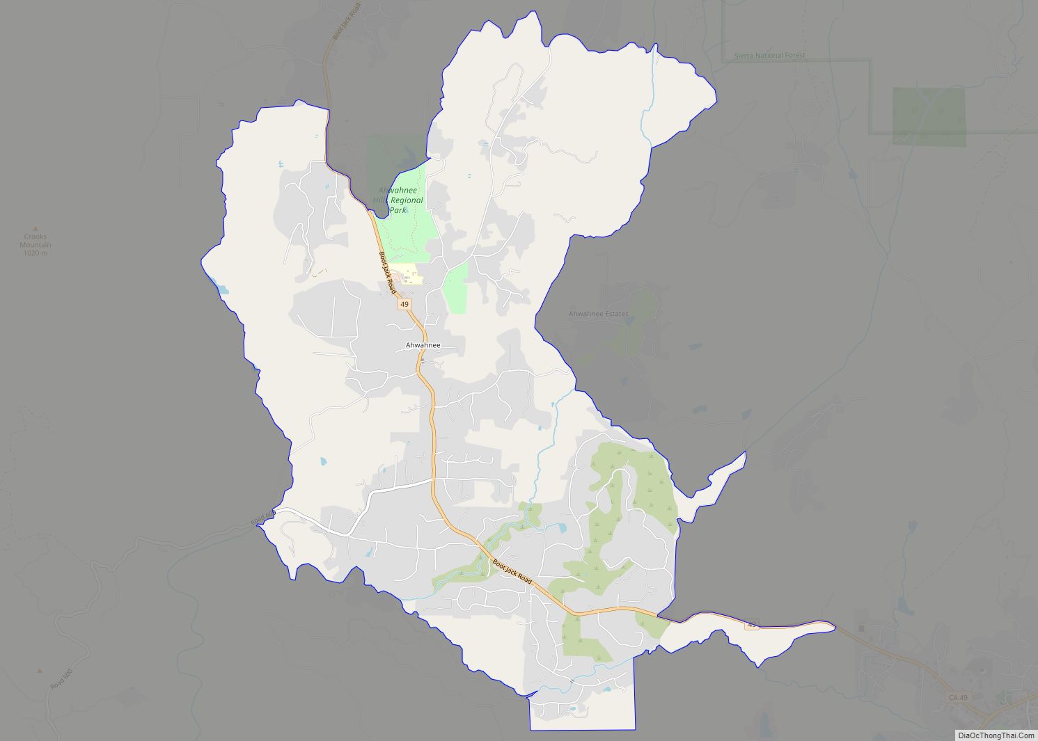
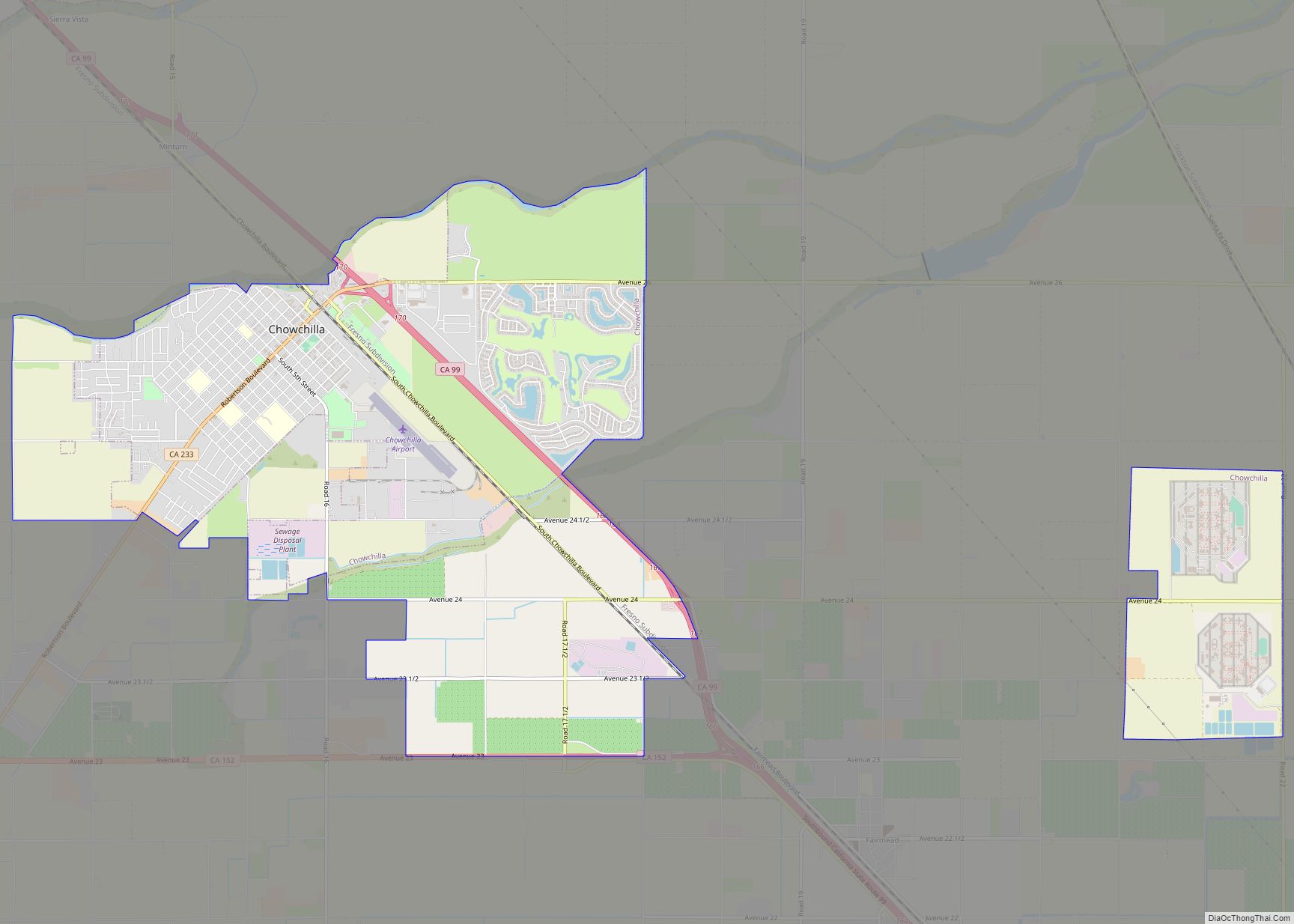
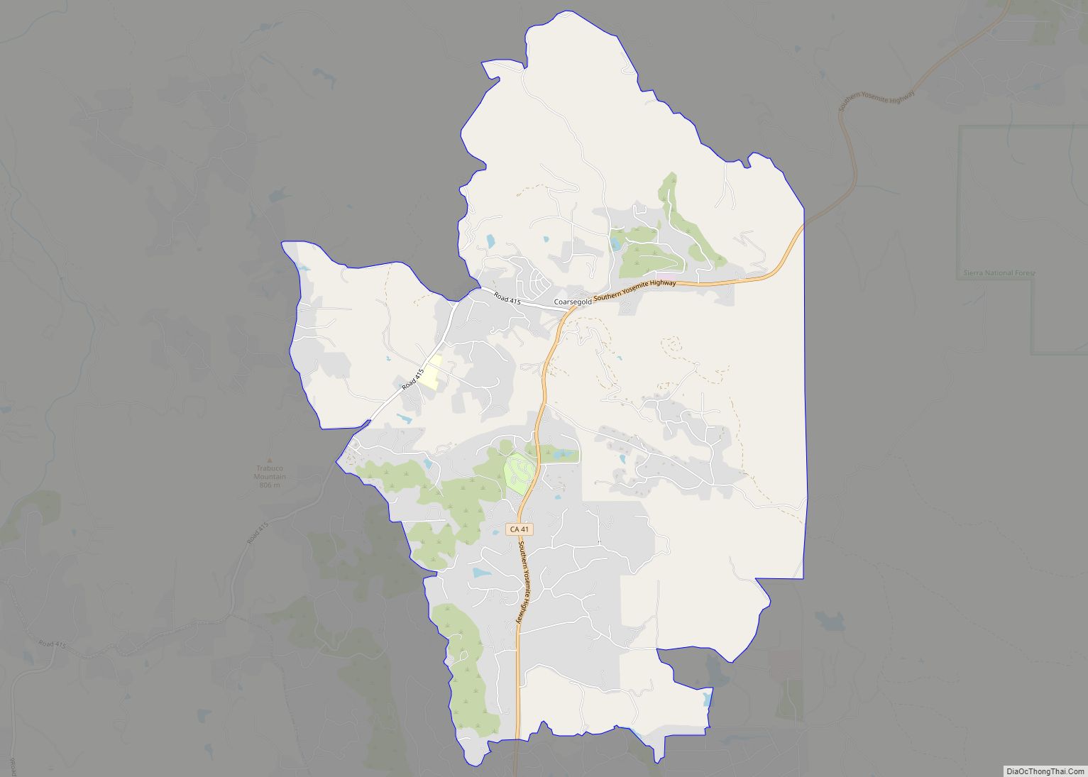
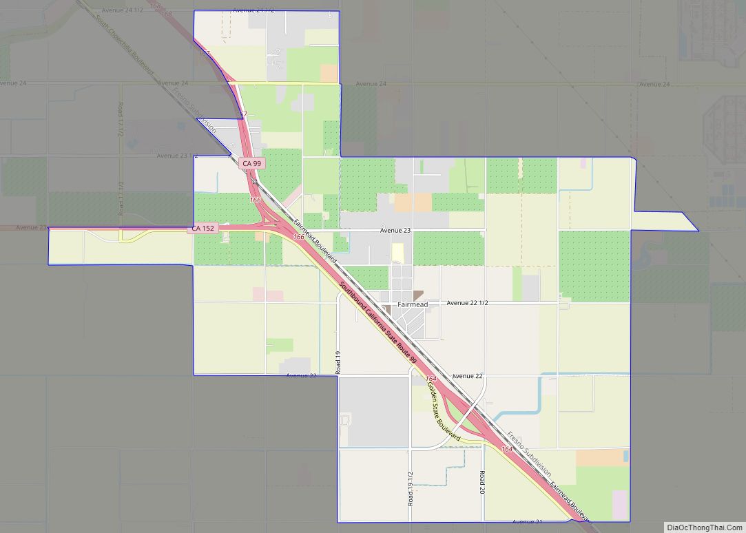
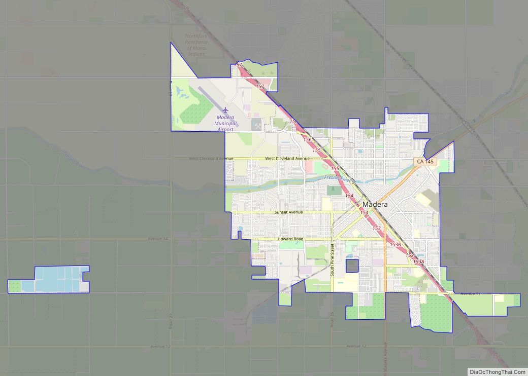
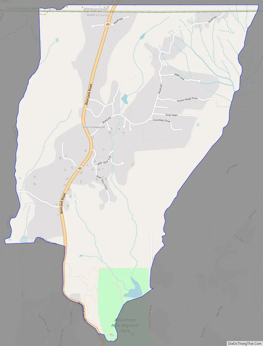
Nipinnawasee Road Map
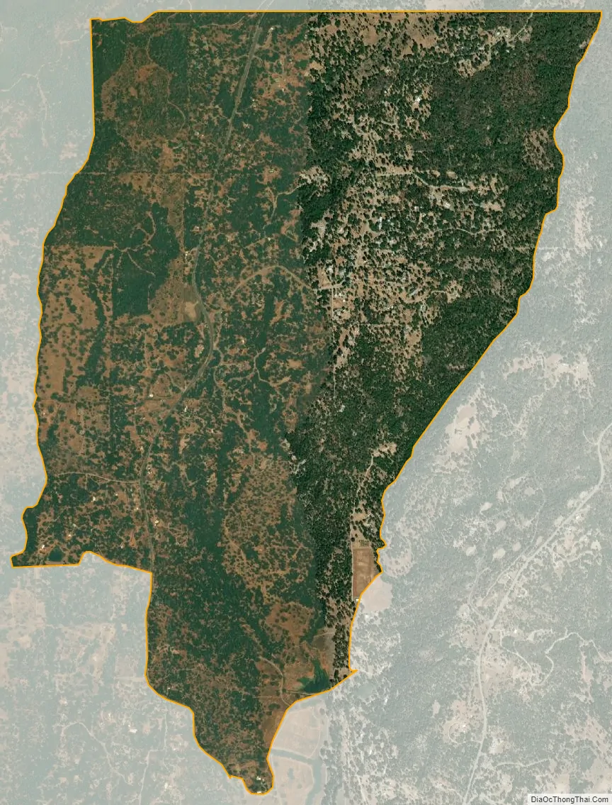
Nipinnawasee city Satellite Map
Geography
The community is along the northwest edge of Madera County, bordered by Ahwahnee to the southeast and Mariposa County to the northwest. California State Route 49 is the main road through the community.
According to the United States Census Bureau, the CDP has a total area of 3.1 square miles (8.0 km), all of it land. The community drains to Peterson Creek, a south-flowing tributary of the Fresno River.
See also
Map of California State and its subdivision:- Alameda
- Alpine
- Amador
- Butte
- Calaveras
- Colusa
- Contra Costa
- Del Norte
- El Dorado
- Fresno
- Glenn
- Humboldt
- Imperial
- Inyo
- Kern
- Kings
- Lake
- Lassen
- Los Angeles
- Madera
- Marin
- Mariposa
- Mendocino
- Merced
- Modoc
- Mono
- Monterey
- Napa
- Nevada
- Orange
- Placer
- Plumas
- Riverside
- Sacramento
- San Benito
- San Bernardino
- San Diego
- San Francisco
- San Joaquin
- San Luis Obispo
- San Mateo
- Santa Barbara
- Santa Clara
- Santa Cruz
- Shasta
- Sierra
- Siskiyou
- Solano
- Sonoma
- Stanislaus
- Sutter
- Tehama
- Trinity
- Tulare
- Tuolumne
- Ventura
- Yolo
- Yuba
- Alabama
- Alaska
- Arizona
- Arkansas
- California
- Colorado
- Connecticut
- Delaware
- District of Columbia
- Florida
- Georgia
- Hawaii
- Idaho
- Illinois
- Indiana
- Iowa
- Kansas
- Kentucky
- Louisiana
- Maine
- Maryland
- Massachusetts
- Michigan
- Minnesota
- Mississippi
- Missouri
- Montana
- Nebraska
- Nevada
- New Hampshire
- New Jersey
- New Mexico
- New York
- North Carolina
- North Dakota
- Ohio
- Oklahoma
- Oregon
- Pennsylvania
- Rhode Island
- South Carolina
- South Dakota
- Tennessee
- Texas
- Utah
- Vermont
- Virginia
- Washington
- West Virginia
- Wisconsin
- Wyoming