Mariposa (/ˌmærɪˈpoʊzə, -sə/ (listen); Spanish for “Butterfly”) is an unincorporated community and census-designated place (CDP) in and the county seat of Mariposa County, California, United States. The population was 1,526 at the 2020 census. The community is named after the flocks of monarch butterflies seen overwintering there by early explorers.
| Name: | Mariposa CDP |
|---|---|
| LSAD Code: | 57 |
| LSAD Description: | CDP (suffix) |
| State: | California |
| County: | Mariposa County |
| Elevation: | 1,949 ft (594 m) |
| Total Area: | 4.040 sq mi (10.46 km²) |
| Land Area: | 4.037 sq mi (10.46 km²) |
| Water Area: | 0.003 sq mi (0.008 km²) 0.07% |
| Total Population: | 1,526 |
| Population Density: | 378.0/sq mi (145.9/km²) |
| ZIP code: | 95338 |
| Area code: | 209 |
| FIPS code: | 0645932 |
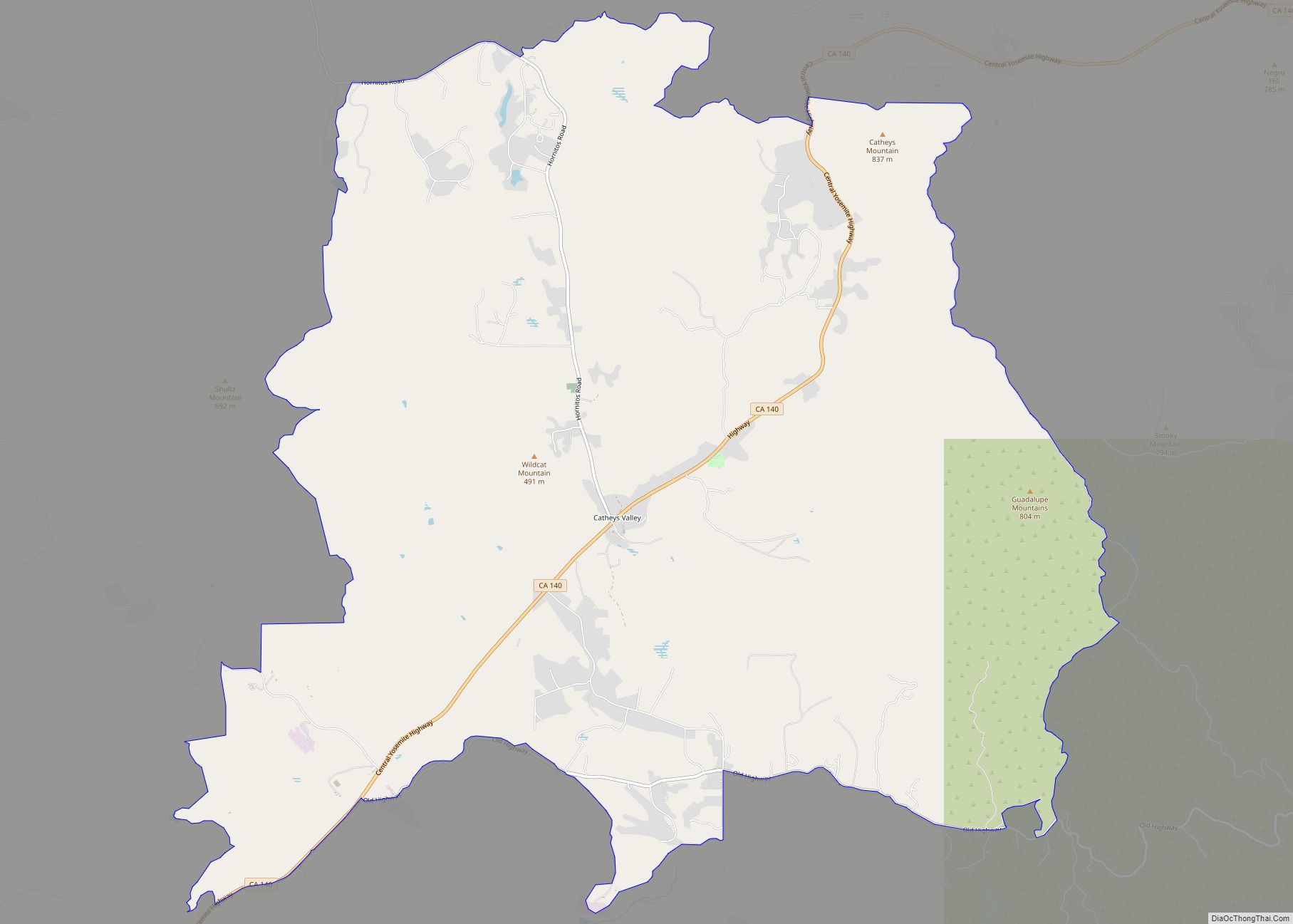
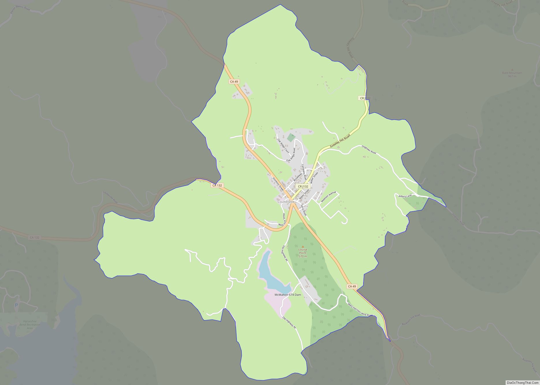
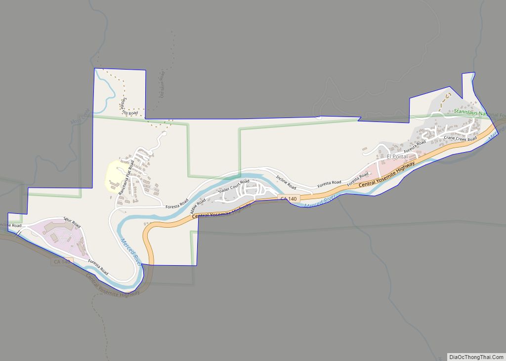
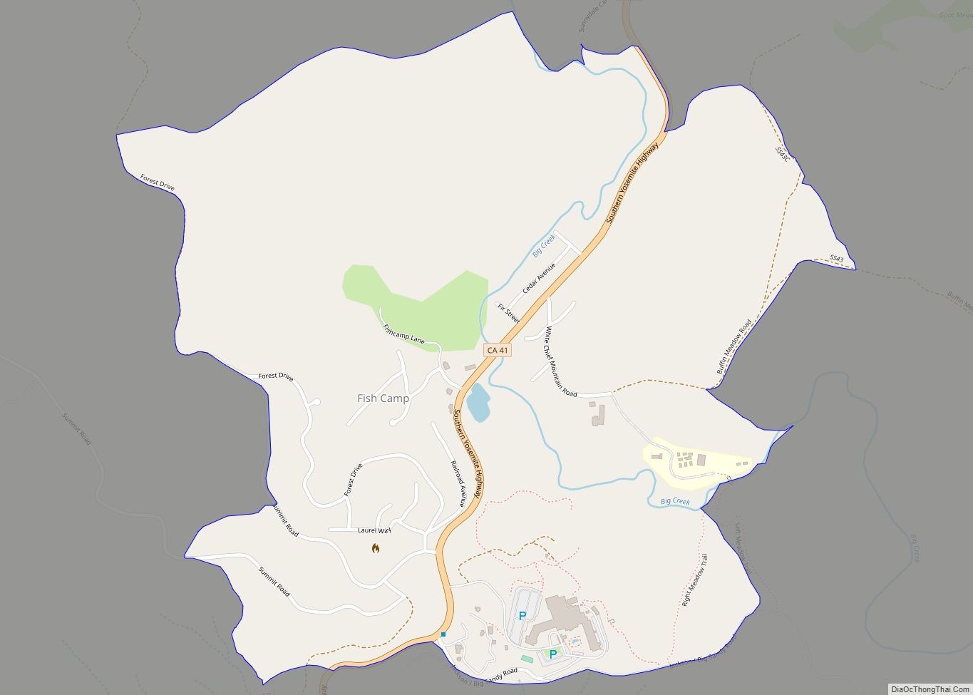
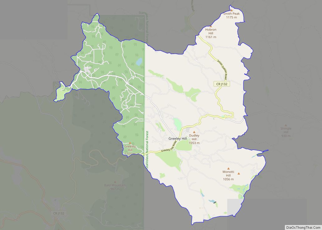
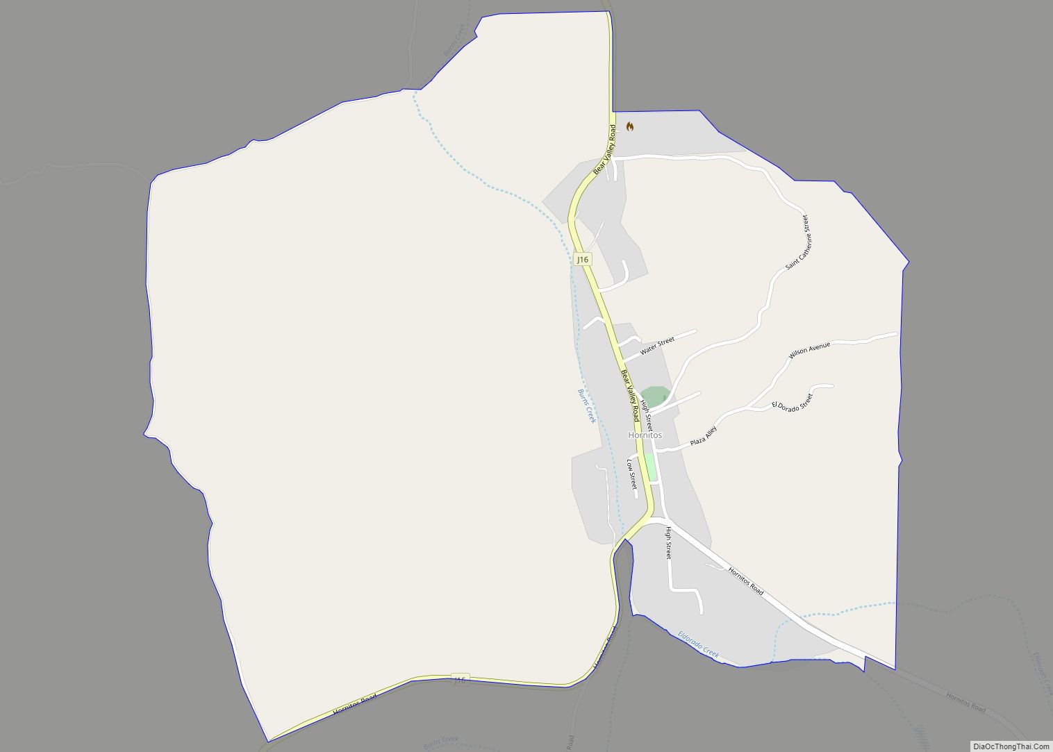
Online Interactive Map
Click on ![]() to view map in "full screen" mode.
to view map in "full screen" mode.
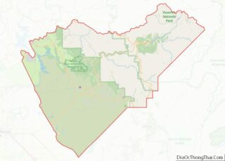
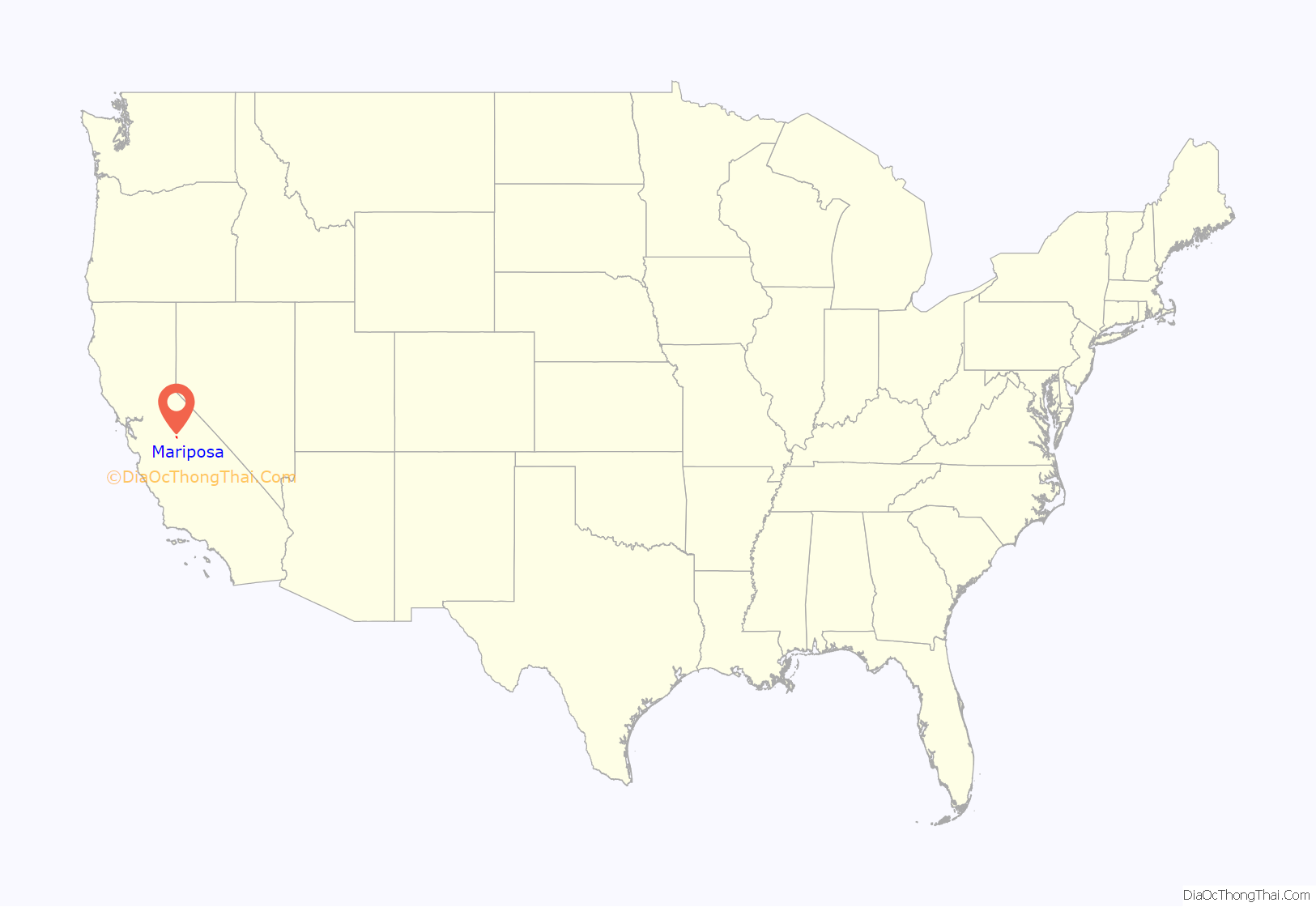
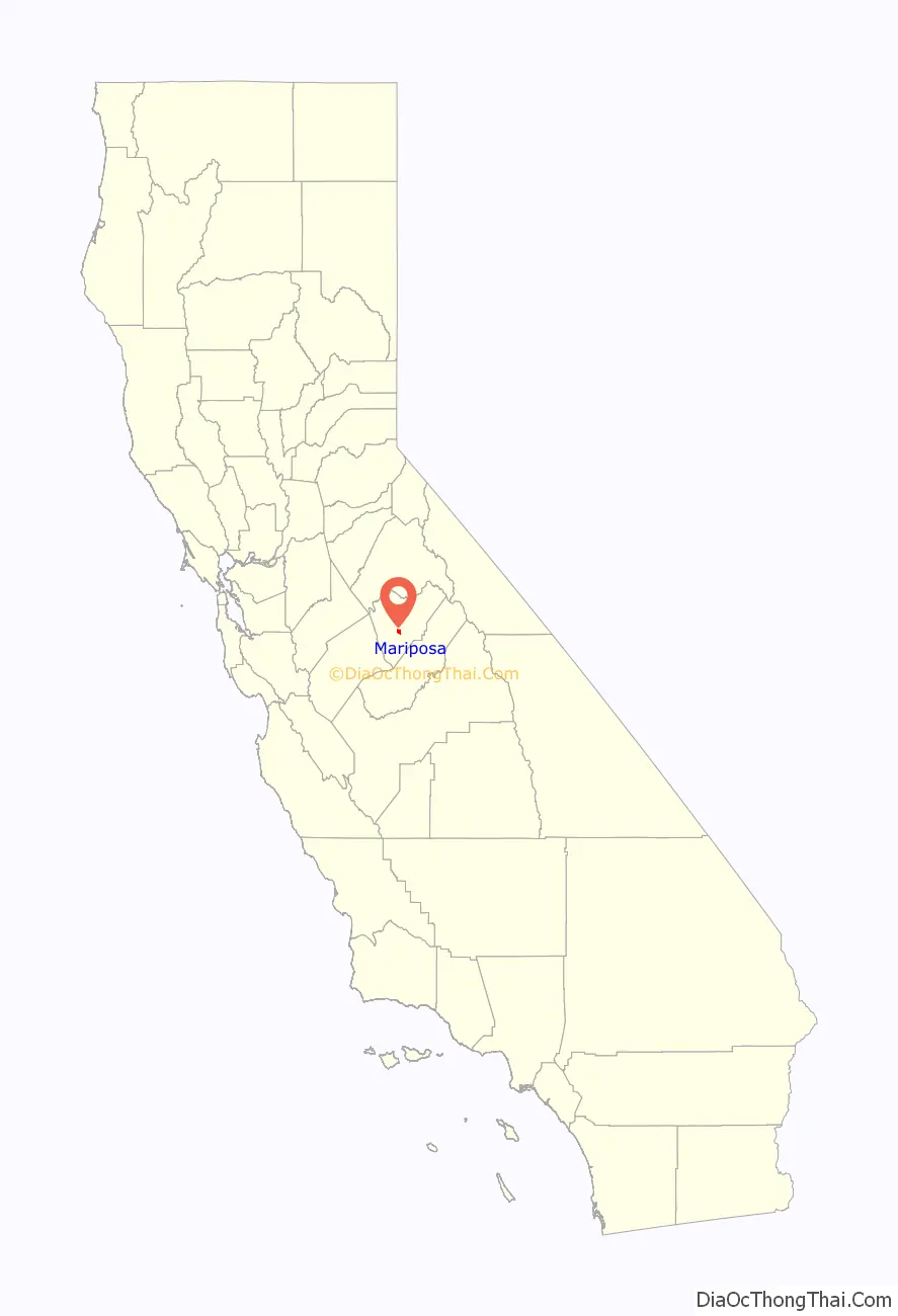
Mariposa location map. Where is Mariposa CDP?
History
The town was founded as a mining camp on the banks of a seasonal stream known as Agua Fría. This original town site was located about 6.0 miles (9.7 km) to the west of present-day Mariposa. Prior to this, Southern Sierra Miwuk people resided in the area. After a flood during the winter of 1849/50, and fires, the town was moved to the location of today’s Mariposa, although mainly due to better terrain and the presence of Mariposa creek, a large producer of placer gold. The gold in small Aqua Fria creek was soon removed, and lacked water most of the year. So the populace moved on to the new boomtown. The large Mariposa mine soon opened, with a 40-foot waterwheel crushing gold ore. This provided a stable source of employment, and Mariposa soon became the supply hub for hundreds of outlying mining districts. Placer gold, that which is found in creekbeds and alluvial deposits, was soon extinguished, and the era of hard rock, deep mining began. In 1851 the “new” town of Mariposa became the county seat of the county of Mariposa, which reached nearly to Los Angeles. By 1854 Mariposa had a grand courthouse which is still in operation. Some refer to lumber being cut from an area to the east of town known as “Logtown”, but no maps or certifiable sources can attest to the existence of a place by that name. Most likely the lumber for the courthouse was milled in Midpines, where there was an unusual abundance of sugar pine trees.
John C. Frémont had a Spanish land grant that gave him ownership of most of the Mariposa mining district, but the possibility of securing his property was nearly impossible due to the huge influx of gold seekers, and little or no enforcement from the few law keepers available. In book #1 of Mariposa county records, originally filed in Aqua Fria, on Page 2, there is a claim known as the Spencer quartz mine and adjacent millsite. This claim was just hundreds of feet from Fremont’s grant line, and its owners were Lafayette H. Bunnell and Champlain Spencer, who became rather wealthy from the placer gold in Whitlock and Sherlocks creek. They later erected a 40-foot (12 m) waterwheel and steam mill, along with several arrastras. Bunnell later published a memoir of his time in Midpines and entry to the Yosemite Valley, which is still in print today – The Discovery of the Yosemite. Spencer has never been acknowledged as having named Half Dome, a prominent feature in Yosemite Valley. These educated gentlemen and adventurers eventually sold “Spencers Mill” to a French and English conglomerate for a tidy sum. All is quiet now on Spencers mill, but much evidence of a series of mills and the arrastras remain.
The US Army built the Mariposa Auxiliary Field (1942-1945) to train World War II pilots. After the war the airfield became the current Mariposa-Yosemite Airport.
On July 18, 2017, a fast-moving wildfire, the “Detwiler Fire”, forced the evacuation of the entire town.
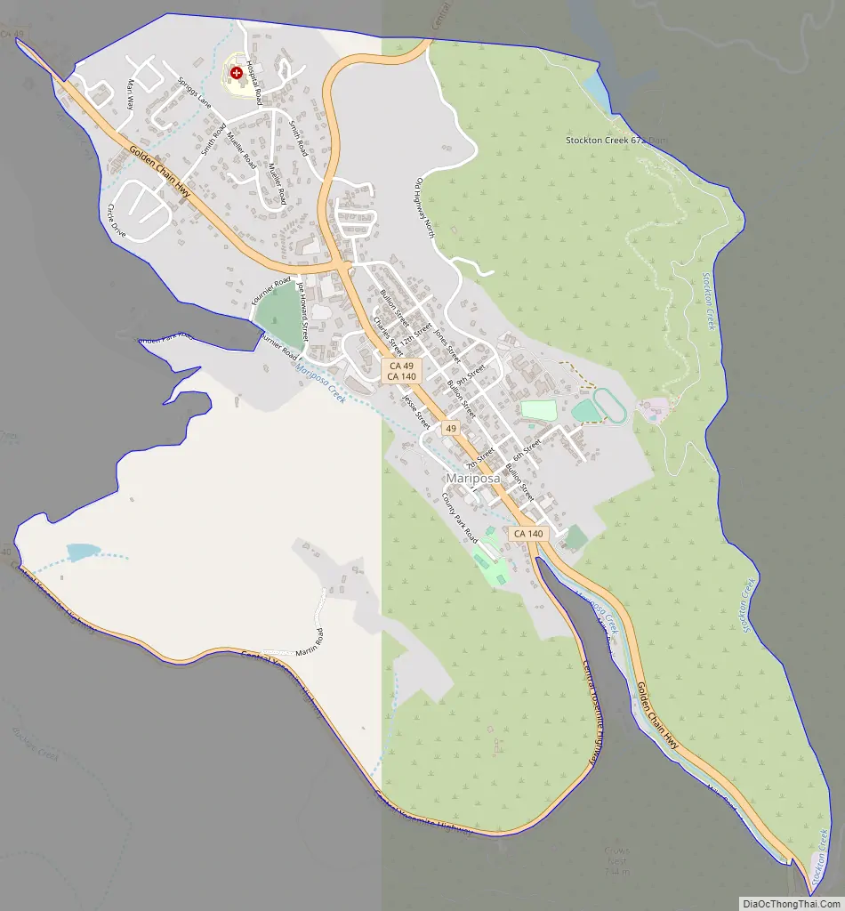
Mariposa Road Map
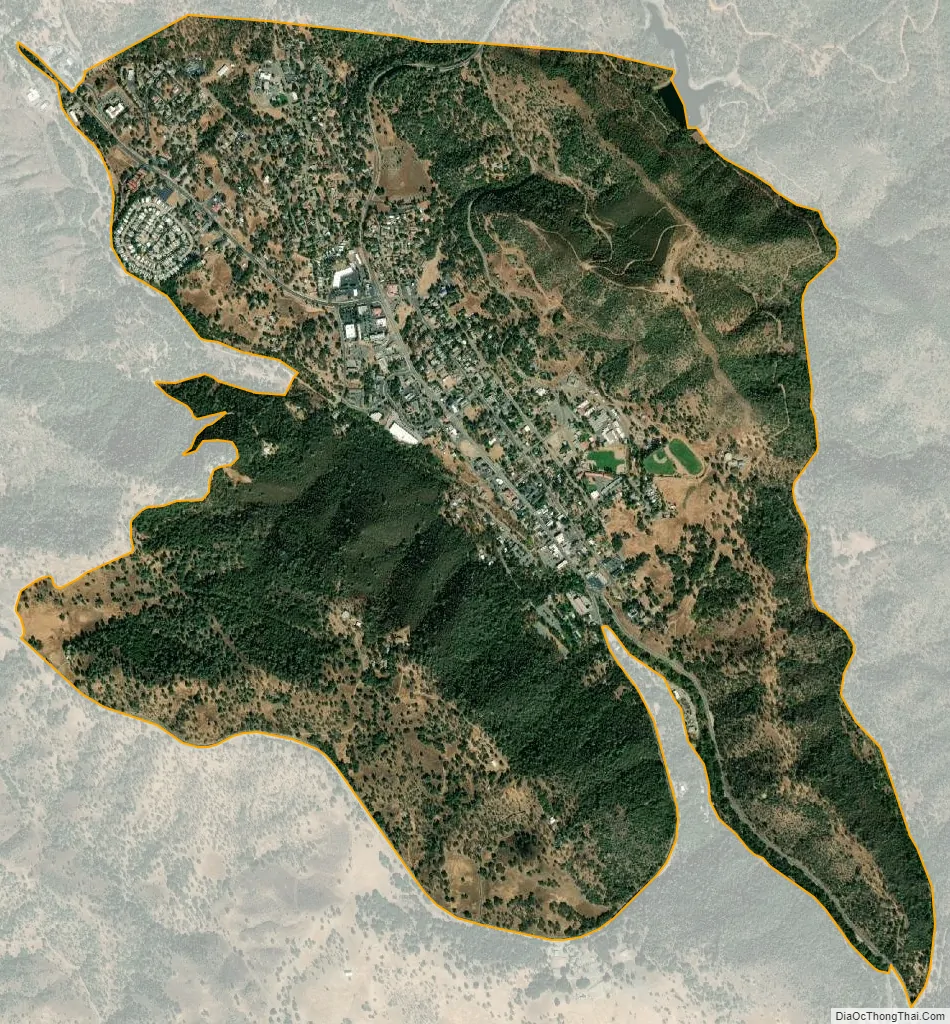
Mariposa city Satellite Map
Geography
Mariposa is located at 37°29′06″N 119°57′59″W / 37.48500°N 119.96639°W / 37.48500; -119.96639, at 1,949 feet (594 m) in elevation. It lies in the rugged foothills of the Sierra Nevada. Mariposa Creek flows through the town. Soils in the urban area are mostly brown to reddish brown loam of the Blasingame series. A gravelly loam is mapped as the Boomer series. These soils support thick grassland plus trees such as blue oak, black oak, gray pine, and ponderosa pine. To the west-northwest of town is a large area of sparse vegetation and rockland on which is found serpentine soil of the Henneke series.
California State Routes 49 and 140 cross in Mariposa, merging for 0.8 miles (1.3 km) as the town’s main street. Highway 49 leads southeast 27 miles (43 km) to end at Oakhurst and northwest the same distance to Coulterville. Highway 140 leads southwest 36 miles (58 km) to Merced in the San Joaquin Valley and northeast 42 miles (68 km) to Yosemite Valley.
According to the United States Census Bureau, the CDP has a total area of 4.04 square miles (10.46 km), all but 0.07% of it land. The community lies in the valley of Mariposa Creek, which flows south and then southwest into the San Joaquin Valley.
Mariposa County includes much of Yosemite National Park, and a good deal of the local economy is related to the park and to tourism. The two-story county courthouse, constructed in 1854, is the oldest in continuous use west of the Rockies. Tours are available.
The county lies at the southern end of the Mother Lode, and outsiders were attracted to Mariposa by gold. During the 19th century California Gold Rush, its streams were panned and deep mines worked the underground veins. At one time John C. Frémont lived here and owned claims to much of the mineral wealth of Mariposa. He later was the first United States senator from the state, and the first Republican candidate for President.
Climate
According to the Köppen climate classification system, Mariposa has a hot-summer Mediterranean climate (abbreviated “Csa” on climate maps) and wet winters.
See also
Map of California State and its subdivision:- Alameda
- Alpine
- Amador
- Butte
- Calaveras
- Colusa
- Contra Costa
- Del Norte
- El Dorado
- Fresno
- Glenn
- Humboldt
- Imperial
- Inyo
- Kern
- Kings
- Lake
- Lassen
- Los Angeles
- Madera
- Marin
- Mariposa
- Mendocino
- Merced
- Modoc
- Mono
- Monterey
- Napa
- Nevada
- Orange
- Placer
- Plumas
- Riverside
- Sacramento
- San Benito
- San Bernardino
- San Diego
- San Francisco
- San Joaquin
- San Luis Obispo
- San Mateo
- Santa Barbara
- Santa Clara
- Santa Cruz
- Shasta
- Sierra
- Siskiyou
- Solano
- Sonoma
- Stanislaus
- Sutter
- Tehama
- Trinity
- Tulare
- Tuolumne
- Ventura
- Yolo
- Yuba
- Alabama
- Alaska
- Arizona
- Arkansas
- California
- Colorado
- Connecticut
- Delaware
- District of Columbia
- Florida
- Georgia
- Hawaii
- Idaho
- Illinois
- Indiana
- Iowa
- Kansas
- Kentucky
- Louisiana
- Maine
- Maryland
- Massachusetts
- Michigan
- Minnesota
- Mississippi
- Missouri
- Montana
- Nebraska
- Nevada
- New Hampshire
- New Jersey
- New Mexico
- New York
- North Carolina
- North Dakota
- Ohio
- Oklahoma
- Oregon
- Pennsylvania
- Rhode Island
- South Carolina
- South Dakota
- Tennessee
- Texas
- Utah
- Vermont
- Virginia
- Washington
- West Virginia
- Wisconsin
- Wyoming