Nuevo (Spanish for “New”) is a rural community located east of Lake Perris and the city of Perris in Riverside County, California. The population of the census-designated place (CDP) is 7,033 according to the 2020 census, up from 6,447 at the 2010 census.
| Name: | Nuevo CDP |
|---|---|
| LSAD Code: | 57 |
| LSAD Description: | CDP (suffix) |
| State: | California |
| County: | Riverside County |
| Elevation: | 1,489 ft (454 m) |
| Total Area: | 6.771 sq mi (17.538 km²) |
| Land Area: | 6.771 sq mi (17.538 km²) |
| Water Area: | 0 sq mi (0 km²) 0% |
| Total Population: | 7,033 |
| Population Density: | 1,000/sq mi (400/km²) |
| ZIP code: | 92567 |
| Area code: | 951 |
| FIPS code: | 0652624 |
| GNISfeature ID: | 1661125 |
Online Interactive Map
Click on ![]() to view map in "full screen" mode.
to view map in "full screen" mode.
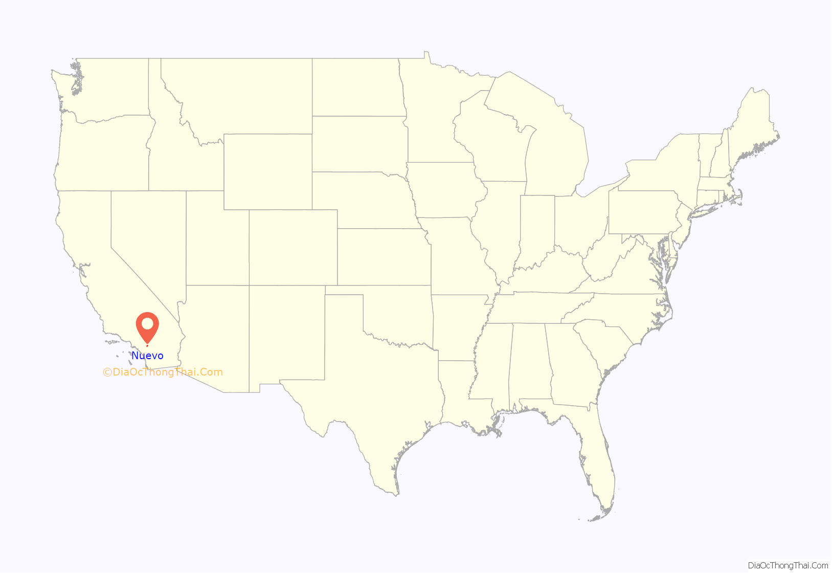
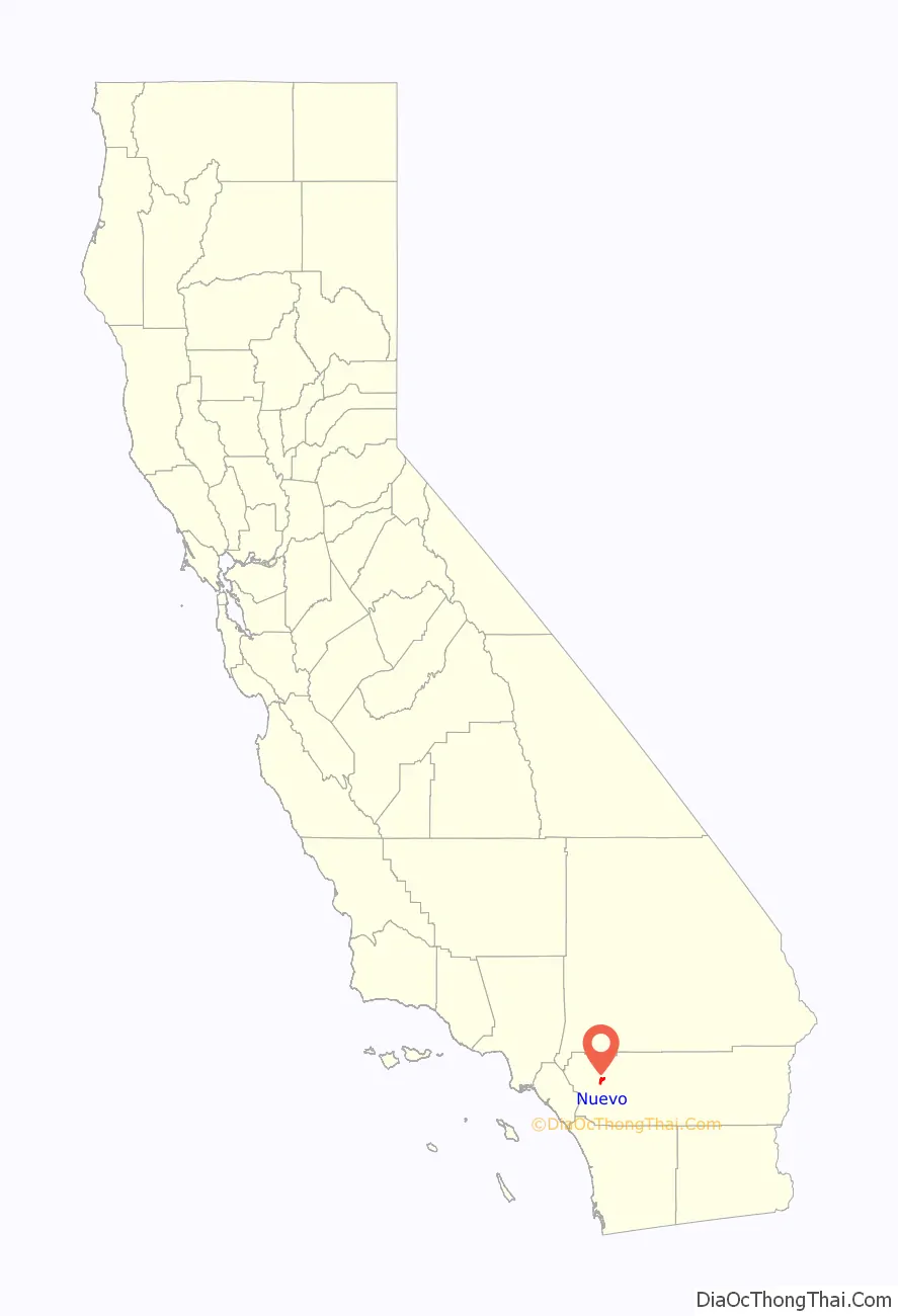
Nuevo location map. Where is Nuevo CDP?
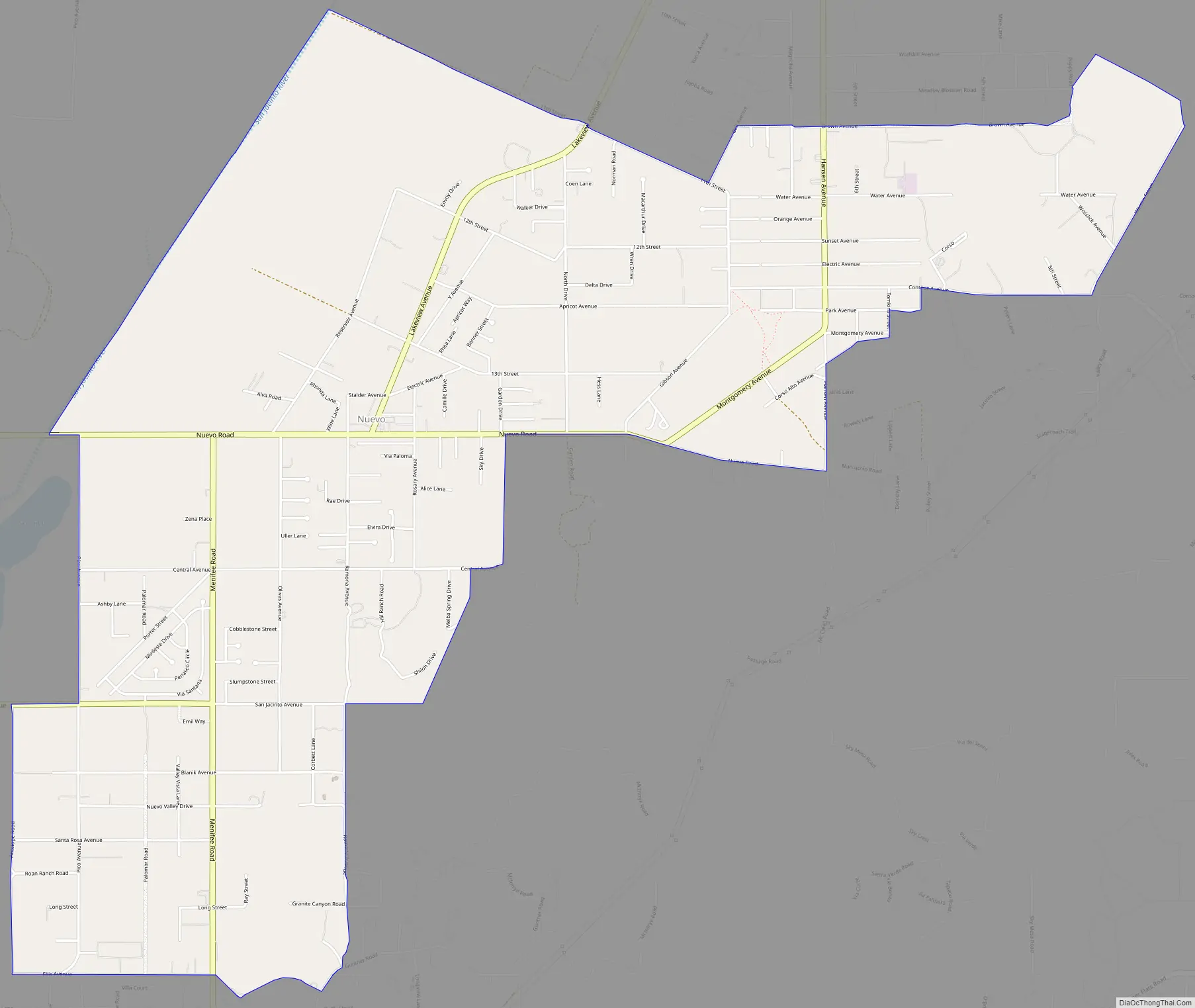
Nuevo Road Map
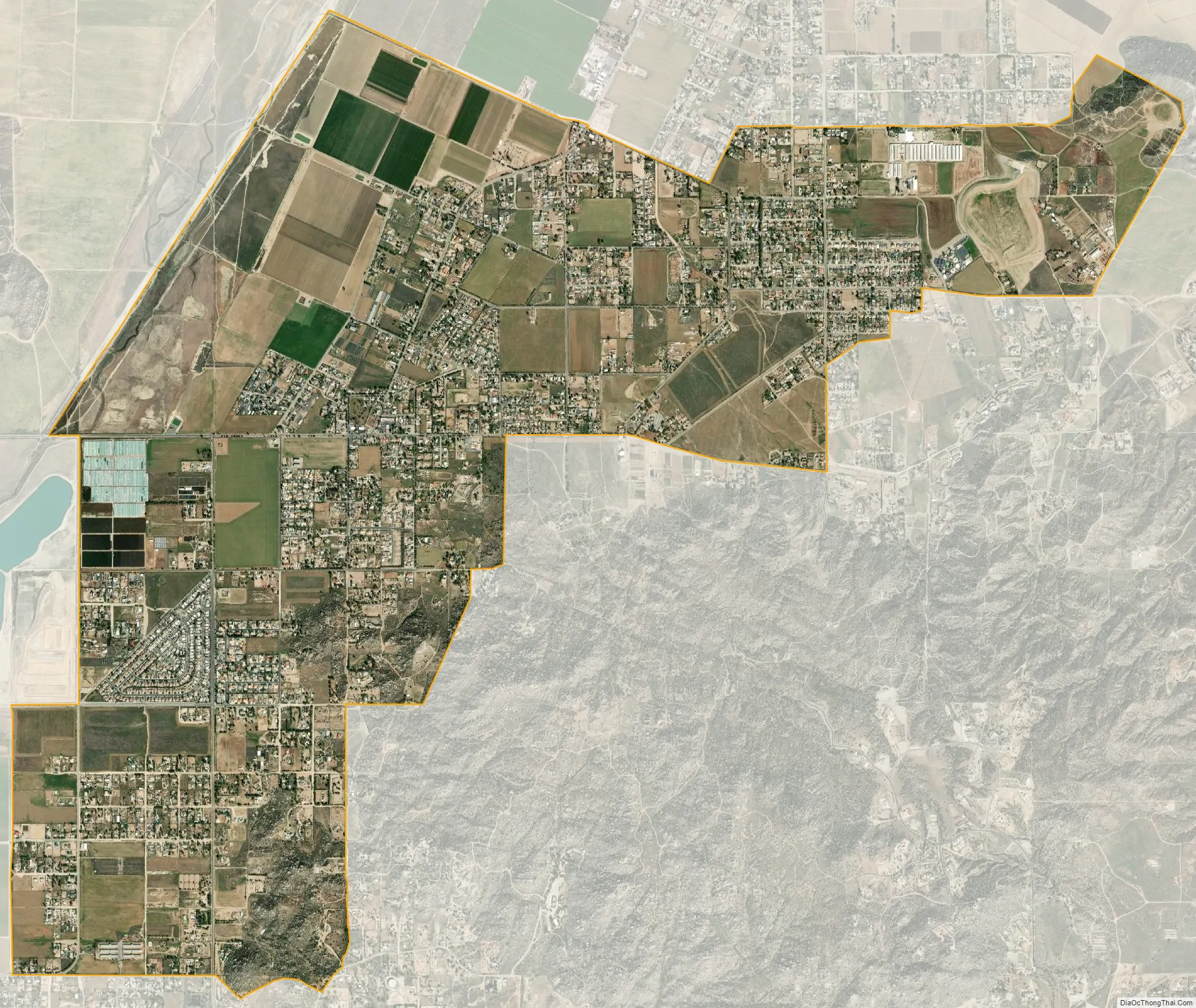
Nuevo city Satellite Map
Geography
Nuevo is located at 33°48′25″N 117°7′43″W / 33.80694°N 117.12861°W / 33.80694; -117.12861 (33.807027, -117.128585).
According to the United States Census Bureau, the CDP has a total area of 6.8 square miles (17.5 km), all of it land.
The geography of the area consists of a wide variety of geographical features, including rocky and rolling hills and low-lying valleys. The usually dry San Jacinto River runs along the northern portion of the area.
The natural vegetation consists primarily of Coastal Sage Scrub, though much of this natural vegetation is visibly absent or exists in remnant form within the lowlands of the area where residential and agricultural uses are most prevalent.
See also
Map of California State and its subdivision:- Alameda
- Alpine
- Amador
- Butte
- Calaveras
- Colusa
- Contra Costa
- Del Norte
- El Dorado
- Fresno
- Glenn
- Humboldt
- Imperial
- Inyo
- Kern
- Kings
- Lake
- Lassen
- Los Angeles
- Madera
- Marin
- Mariposa
- Mendocino
- Merced
- Modoc
- Mono
- Monterey
- Napa
- Nevada
- Orange
- Placer
- Plumas
- Riverside
- Sacramento
- San Benito
- San Bernardino
- San Diego
- San Francisco
- San Joaquin
- San Luis Obispo
- San Mateo
- Santa Barbara
- Santa Clara
- Santa Cruz
- Shasta
- Sierra
- Siskiyou
- Solano
- Sonoma
- Stanislaus
- Sutter
- Tehama
- Trinity
- Tulare
- Tuolumne
- Ventura
- Yolo
- Yuba
- Alabama
- Alaska
- Arizona
- Arkansas
- California
- Colorado
- Connecticut
- Delaware
- District of Columbia
- Florida
- Georgia
- Hawaii
- Idaho
- Illinois
- Indiana
- Iowa
- Kansas
- Kentucky
- Louisiana
- Maine
- Maryland
- Massachusetts
- Michigan
- Minnesota
- Mississippi
- Missouri
- Montana
- Nebraska
- Nevada
- New Hampshire
- New Jersey
- New Mexico
- New York
- North Carolina
- North Dakota
- Ohio
- Oklahoma
- Oregon
- Pennsylvania
- Rhode Island
- South Carolina
- South Dakota
- Tennessee
- Texas
- Utah
- Vermont
- Virginia
- Washington
- West Virginia
- Wisconsin
- Wyoming


