Perris is an old railway city in Riverside County, California, United States, located 71 miles (114 km) east-southeast of Los Angeles and 81 miles (130 km) north of San Diego. It is known for Lake Perris, an artificial lake, skydiving, and its sunny dry climate. Perris is within the Inland Empire metropolitan area of Southern California. Perris had a population of 78,700 as of the 2020 census.
| Name: | Perris city |
|---|---|
| LSAD Code: | 25 |
| LSAD Description: | city (suffix) |
| State: | California |
| County: | Riverside County |
| Incorporated: | May 26, 1911 |
| Elevation: | 1,453 ft (443 m) |
| Total Area: | 31.68 sq mi (82.04 km²) |
| Land Area: | 31.57 sq mi (81.76 km²) |
| Water Area: | 0.11 sq mi (0.28 km²) 0.35% |
| Total Population: | 79,011 |
| Population Density: | 2,492.87/sq mi (962.57/km²) |
| Area code: | 951 |
| FIPS code: | 0656700 |
| Website: | www.cityofperris.org |
Online Interactive Map
Click on ![]() to view map in "full screen" mode.
to view map in "full screen" mode.
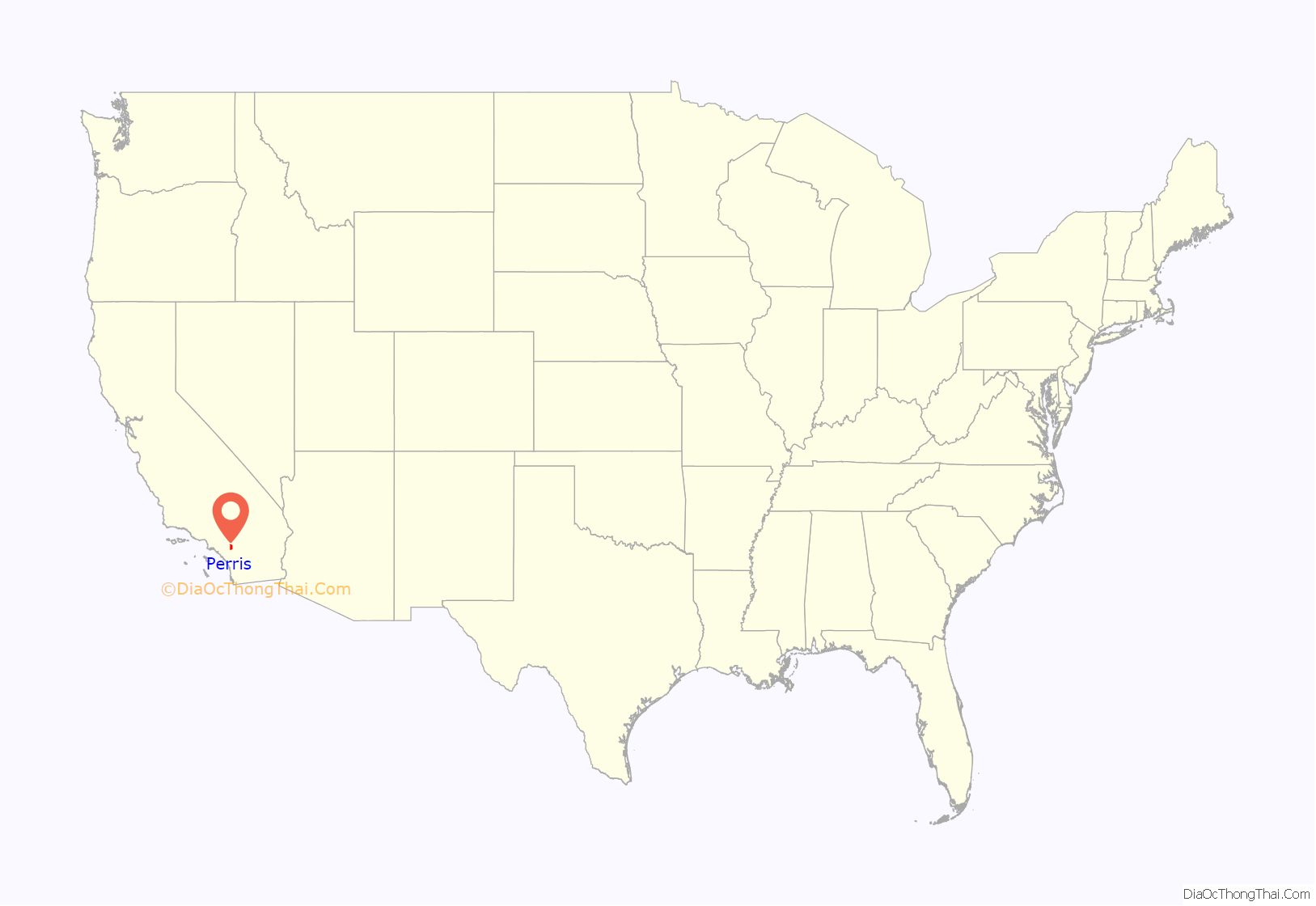
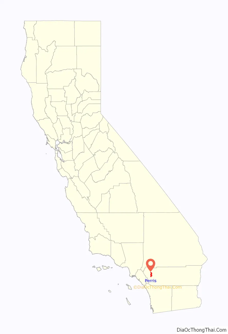
Perris location map. Where is Perris city?
History
The coming of the California Southern Railroad led to the founding of the city around the new depot, on the rail connection between the present-day cities of Barstow and San Diego. The Perris Depot is included in the Library of Congress’ Historic American Buildings Survey. Due to a land title dispute at Pinacate, most of its citizens moved two miles north on the railroad and established Perris in 1885. The city is named in honor of Fred T. Perris, chief engineer of the California Southern Railroad.The city of Perris was incorporated in 1911. It originally was within San Diego County but, in 1892, it was transferred to the newly established Riverside County.
In 2005, the National Archives and Records Administration opened the National Archives at Riverside, which is its regional branch for federal documents relating to the Pacific Region (Arizona, southern California, and Clark County, Nevada) in Perris.
Turpin family
In January 2018, authorities discovered 13 malnourished siblings held captive by their own parents, David Allen Turpin, 57, and Louise Anna Turpin, 49, in a home in Perris. Some of the siblings were adults, as old as 29. In April 2019, the couple was sentenced to life imprisonment with no possibility of parole for 25 years.
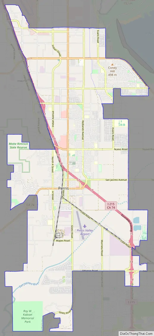
Perris Road Map
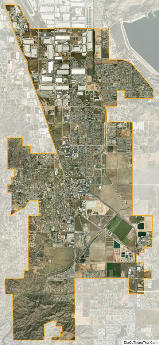
Perris city Satellite Map
Geography
According to the United States Census Bureau, the city has a total area of 31.68 square miles (82.1 km), of which, 31.57 square miles (81.8 km) of it is land and 0.11 square miles (0.28 km) of it (0.35%) is water.
Climate
Perris has a Mediterranean climate, with long, hot summers and short, mild winters. The climate in this area is described by the Köppen Climate Classification System as “dry-summer subtropical” often referred to as “Mediterranean” and abbreviated as Csa.
See also
Map of California State and its subdivision:- Alameda
- Alpine
- Amador
- Butte
- Calaveras
- Colusa
- Contra Costa
- Del Norte
- El Dorado
- Fresno
- Glenn
- Humboldt
- Imperial
- Inyo
- Kern
- Kings
- Lake
- Lassen
- Los Angeles
- Madera
- Marin
- Mariposa
- Mendocino
- Merced
- Modoc
- Mono
- Monterey
- Napa
- Nevada
- Orange
- Placer
- Plumas
- Riverside
- Sacramento
- San Benito
- San Bernardino
- San Diego
- San Francisco
- San Joaquin
- San Luis Obispo
- San Mateo
- Santa Barbara
- Santa Clara
- Santa Cruz
- Shasta
- Sierra
- Siskiyou
- Solano
- Sonoma
- Stanislaus
- Sutter
- Tehama
- Trinity
- Tulare
- Tuolumne
- Ventura
- Yolo
- Yuba
- Alabama
- Alaska
- Arizona
- Arkansas
- California
- Colorado
- Connecticut
- Delaware
- District of Columbia
- Florida
- Georgia
- Hawaii
- Idaho
- Illinois
- Indiana
- Iowa
- Kansas
- Kentucky
- Louisiana
- Maine
- Maryland
- Massachusetts
- Michigan
- Minnesota
- Mississippi
- Missouri
- Montana
- Nebraska
- Nevada
- New Hampshire
- New Jersey
- New Mexico
- New York
- North Carolina
- North Dakota
- Ohio
- Oklahoma
- Oregon
- Pennsylvania
- Rhode Island
- South Carolina
- South Dakota
- Tennessee
- Texas
- Utah
- Vermont
- Virginia
- Washington
- West Virginia
- Wisconsin
- Wyoming


