Oak View is an unincorporated community in Ventura County, California, United States. The community is located along the Ventura River in a narrow valley between the towns of Casitas Springs (south) and Mira Monte (north). Lake Casitas and the community of Ojai are also nearby. At the 2010 census, the population of Oak View was 4,066, down from 4,199 at the 2000 census, making it the third largest community between Ojai and the city of Ventura. For statistical purposes, the United States Census Bureau has defined Oak View as a census-designated place (CDP). The census definition of the area may not precisely correspond to local understanding of the area with the same name.
| Name: | Oak View CDP |
|---|---|
| LSAD Code: | 57 |
| LSAD Description: | CDP (suffix) |
| State: | California |
| County: | Ventura County |
| Elevation: | 538 ft (164 m) |
| Total Area: | 1.962 sq mi (5.082 km²) |
| Land Area: | 1.962 sq mi (5.082 km²) |
| Water Area: | 0 sq mi (0 km²) 0% |
| Total Population: | 4,066 |
| Population Density: | 2,100/sq mi (800/km²) |
| ZIP code: | 93022 |
| Area code: | 805 |
| FIPS code: | 0653182 |
| GNISfeature ID: | 1661131 |
Online Interactive Map
Click on ![]() to view map in "full screen" mode.
to view map in "full screen" mode.
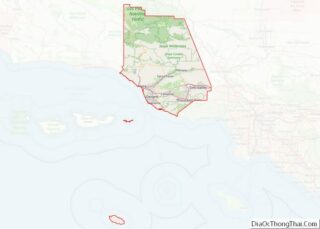
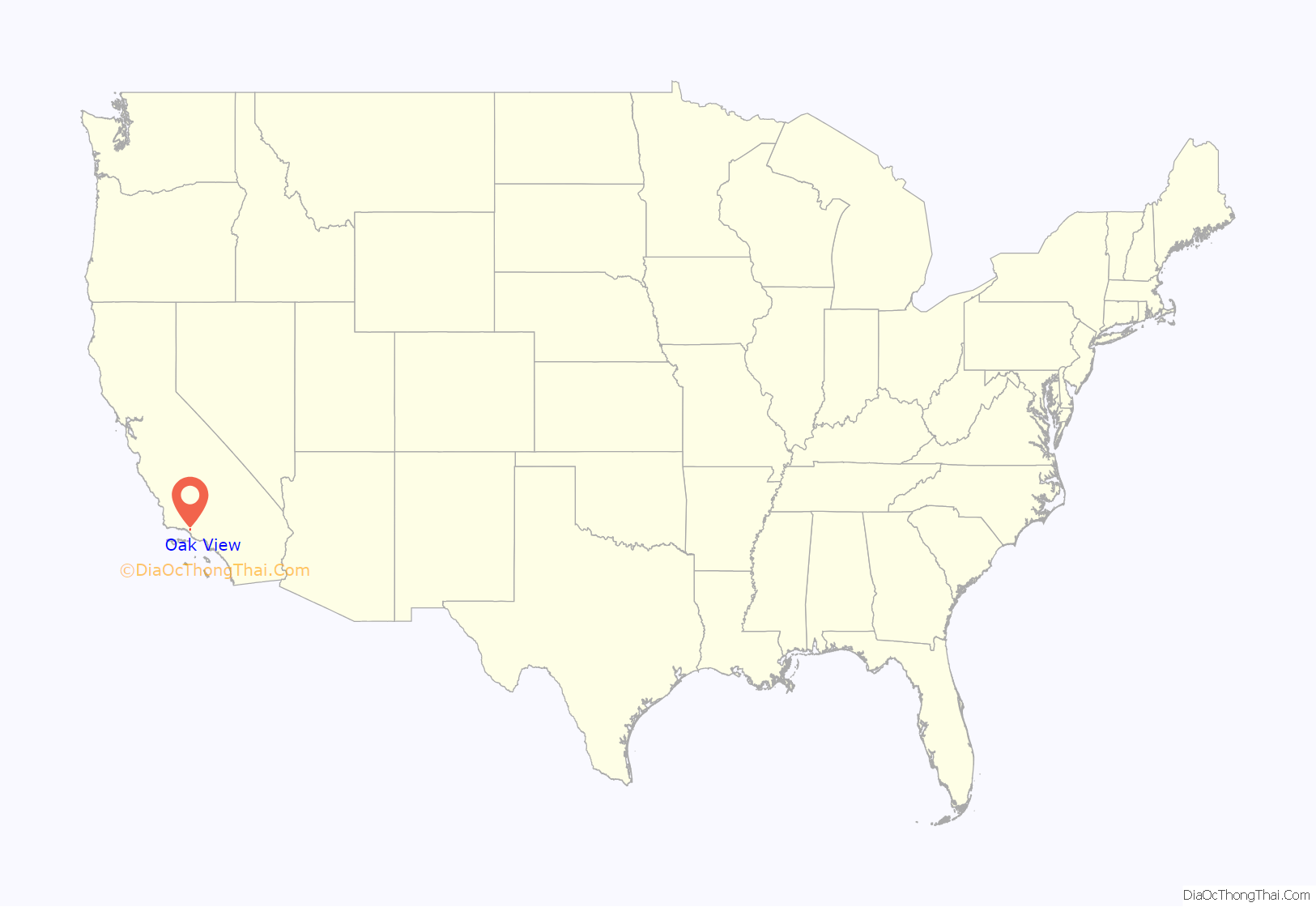
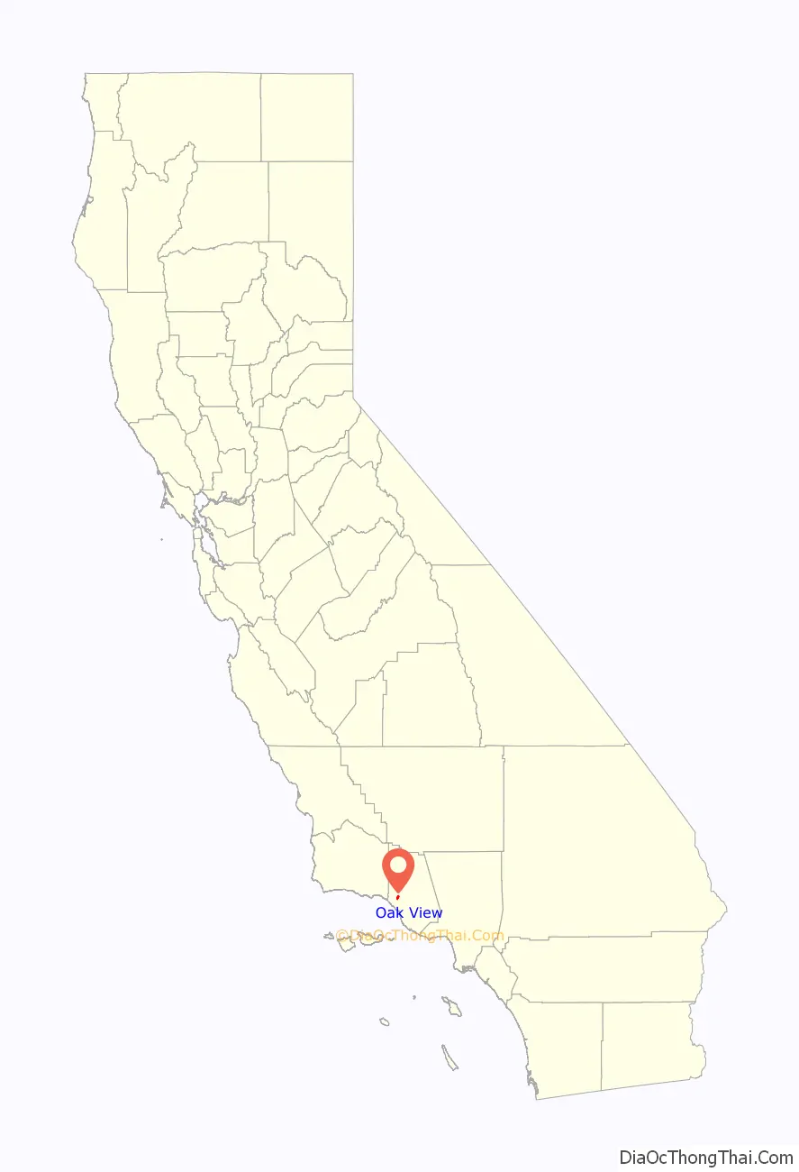
Oak View location map. Where is Oak View CDP?
History
The town of Oak View was established as a ‘bedroom community’ during the late 1940s and early 1950s, primarily home to local oil industry workers who found work in nearby Ventura. Besides nearby downtown Ojai, Oak View is the only other town in the Ojai Valley with a discernible “downtown”, which has developed along the Ventura Avenue/Highway 33 corridor. Oak View’s ‘downtown’ has a number of businesses and services that have withstood the test of time and economic conditions. Among them, you’ll find a post office, a grocery store, a grocery mart, one bank, a Thai restaurant, a coffee house/restaurant, a Mexican restaurant, a pizza parlor, two automobile repair shops, two tire shops, two self-serve gasoline stations, two coffee shops, an equipment rental yard, several hair stylists, a pet supplies store, a liquor store, a walk-in medical office, a car wash, and a laundromat.
At various times over the years, some locals have considered incorporating as a city, as an alternative to County of Ventura governance. Some considered a name change to “River City.” But, until the town has the ability to provide the same services as an incorporated city, this won’t happen.
A volunteer Civic Council — Oak View Civic Council — which is a non-partisan, non-sectarian, and non-political organization, acts as a coordinating group to work with locals and advance civic, cultural, educational, philanthropic, and social goals of the community. Yearly Council-sponsored activities include two long-held events: the annual Christmas Tree Lighting, and the Memorial Day Parade. Other events have included BBQ events with all locals invited, family days, pageants of excellence, Oak View History days. The Council Website URL is http://oakviewciviccouncil.org. The site has a local resources link: http://www.oakviewciviccouncil.org/local_resources.html. Also, an online Oak View Community Forum exists where locals can post ideas and suggestions: http://oakviewciviccouncil.org/forum/index.php. Finally, a Website focused on Oak View can be found at https://www.oakviewca.org/
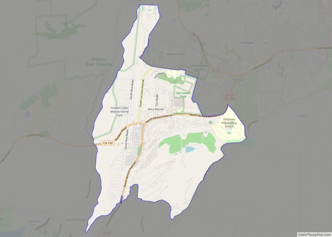
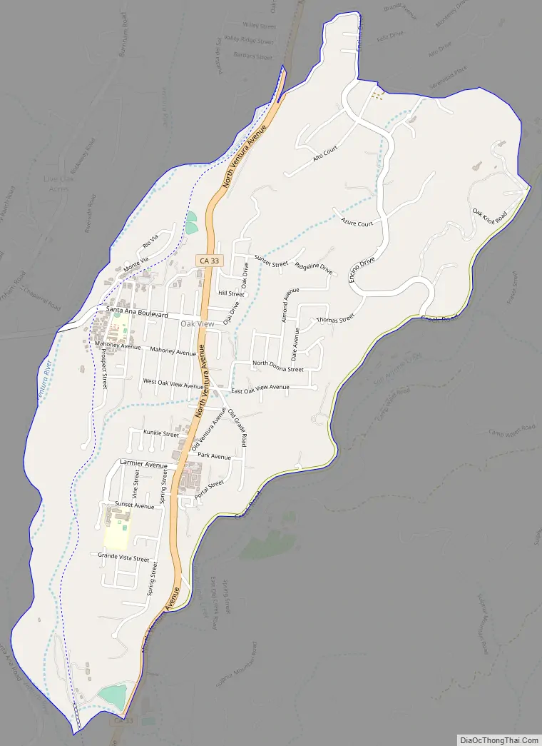
Oak View Road Map
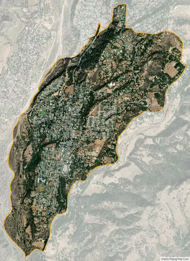
Oak View city Satellite Map
Geography
Oak View is located at 34°23′51″N 119°18′0″W / 34.39750°N 119.30000°W / 34.39750; -119.30000 (34.397416, -119.300127).
According to the United States Census Bureau, the CDP has a total area of 2.0 square miles (5.2 km), all of it land.
See also
Map of California State and its subdivision:- Alameda
- Alpine
- Amador
- Butte
- Calaveras
- Colusa
- Contra Costa
- Del Norte
- El Dorado
- Fresno
- Glenn
- Humboldt
- Imperial
- Inyo
- Kern
- Kings
- Lake
- Lassen
- Los Angeles
- Madera
- Marin
- Mariposa
- Mendocino
- Merced
- Modoc
- Mono
- Monterey
- Napa
- Nevada
- Orange
- Placer
- Plumas
- Riverside
- Sacramento
- San Benito
- San Bernardino
- San Diego
- San Francisco
- San Joaquin
- San Luis Obispo
- San Mateo
- Santa Barbara
- Santa Clara
- Santa Cruz
- Shasta
- Sierra
- Siskiyou
- Solano
- Sonoma
- Stanislaus
- Sutter
- Tehama
- Trinity
- Tulare
- Tuolumne
- Ventura
- Yolo
- Yuba
- Alabama
- Alaska
- Arizona
- Arkansas
- California
- Colorado
- Connecticut
- Delaware
- District of Columbia
- Florida
- Georgia
- Hawaii
- Idaho
- Illinois
- Indiana
- Iowa
- Kansas
- Kentucky
- Louisiana
- Maine
- Maryland
- Massachusetts
- Michigan
- Minnesota
- Mississippi
- Missouri
- Montana
- Nebraska
- Nevada
- New Hampshire
- New Jersey
- New Mexico
- New York
- North Carolina
- North Dakota
- Ohio
- Oklahoma
- Oregon
- Pennsylvania
- Rhode Island
- South Carolina
- South Dakota
- Tennessee
- Texas
- Utah
- Vermont
- Virginia
- Washington
- West Virginia
- Wisconsin
- Wyoming