Pajaro (Spanish Pájaro ‘bird’) is an unincorporated community and census-designated place (CDP) in Monterey County, California. It is located on the south bank of the Pajaro River 5 miles (8 km) northeast of its mouth, at an elevation of 26 feet (7.9 m). The population was 2,882 at the 2020 census, down from 3,070 in 2010. The school district is in Santa Cruz County.
| Name: | Pajaro CDP |
|---|---|
| LSAD Code: | 57 |
| LSAD Description: | CDP (suffix) |
| State: | California |
| County: | Monterey County |
| Elevation: | 26 ft (8 m) |
| Total Area: | 0.929 sq mi (2.41 km²) |
| Land Area: | 0.929 sq mi (2.41 km²) |
| Water Area: | 0 sq mi (0 km²) |
| Total Population: | 2,882 |
| Population Density: | 3,102.3/sq mi (1,197.8/km²) |
| ZIP code: | 95076 |
| Area code: | 831 |
| FIPS code: | 0655044 |
Online Interactive Map
Click on ![]() to view map in "full screen" mode.
to view map in "full screen" mode.
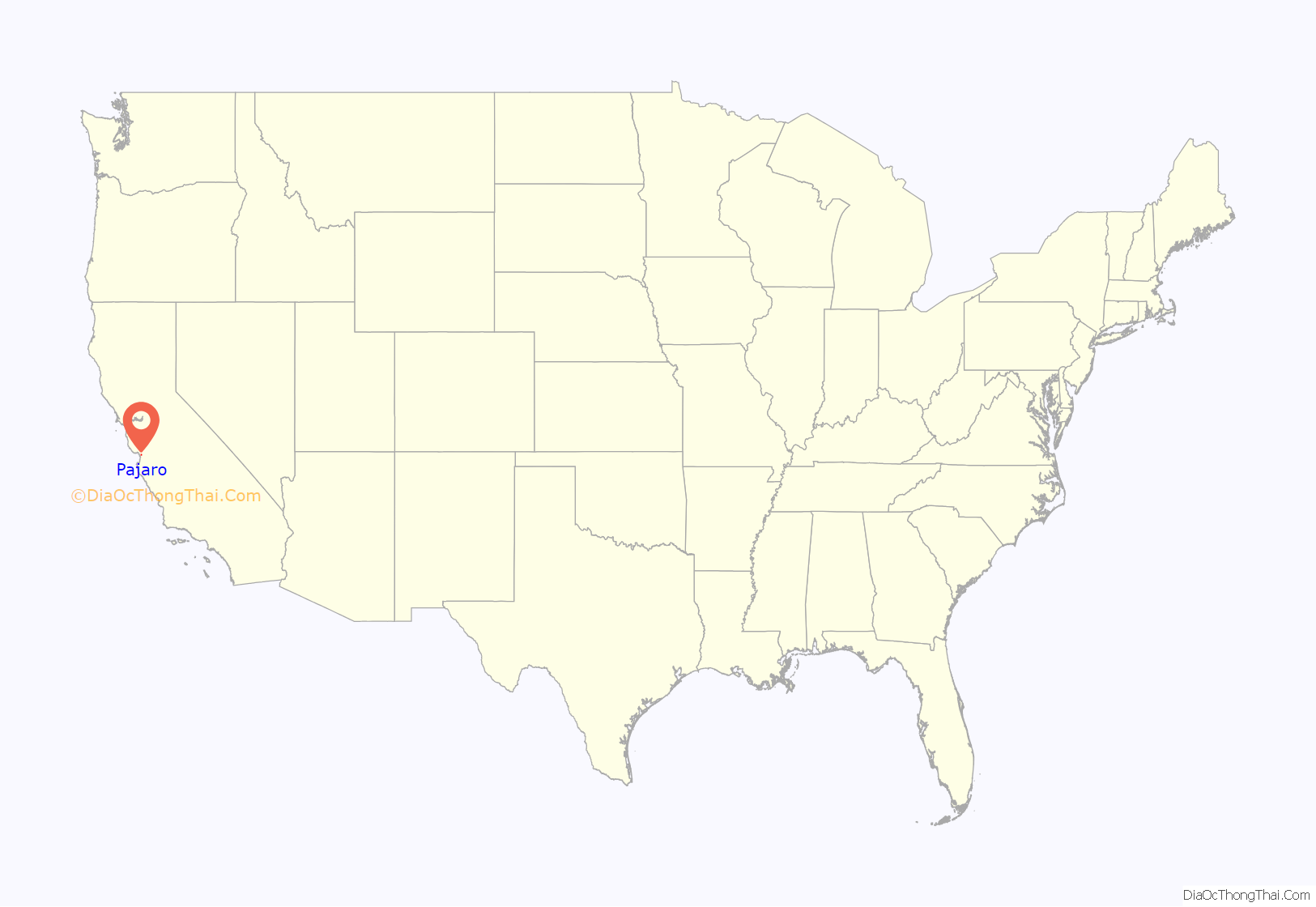
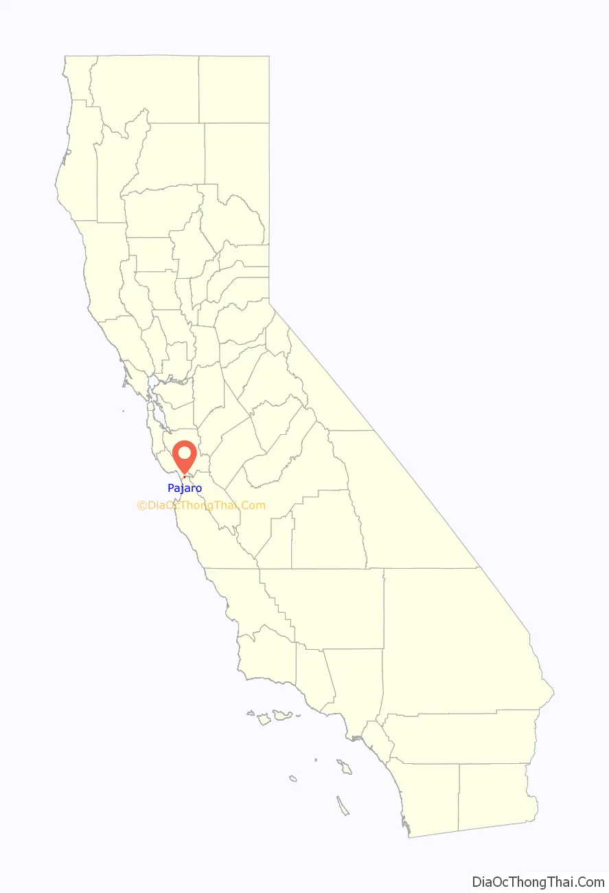
Pajaro location map. Where is Pajaro CDP?
History
The Pajaro post office operated from 1872 to 1873 and from 1882 to 1888.
The oldest building in the community is the Porter-Vallejo Mansion. Constructed in the 1840s and remodeled multiple times, it was acquired in 1991and converted into a public library/senior citizen center. It also houses a day-care facility for the children of migrant farm workers. Supervisor Del Piero, a Pajaro native, also secured major federal grants to acquire and completely rebuild the public water system in 1984, and transferred it to the newly created Pajaro Community Services District.
On Monday, May 11, 1903, President Theodore Roosevelt stopped in Pajaro for a ten-minute whistle-stop address on his way to Santa Cruz. He arrived in his special train via the Southern Pacific at 8:50am and left at 9:00am.
The town was heavily flooded in 1995, 1998, and 2023.
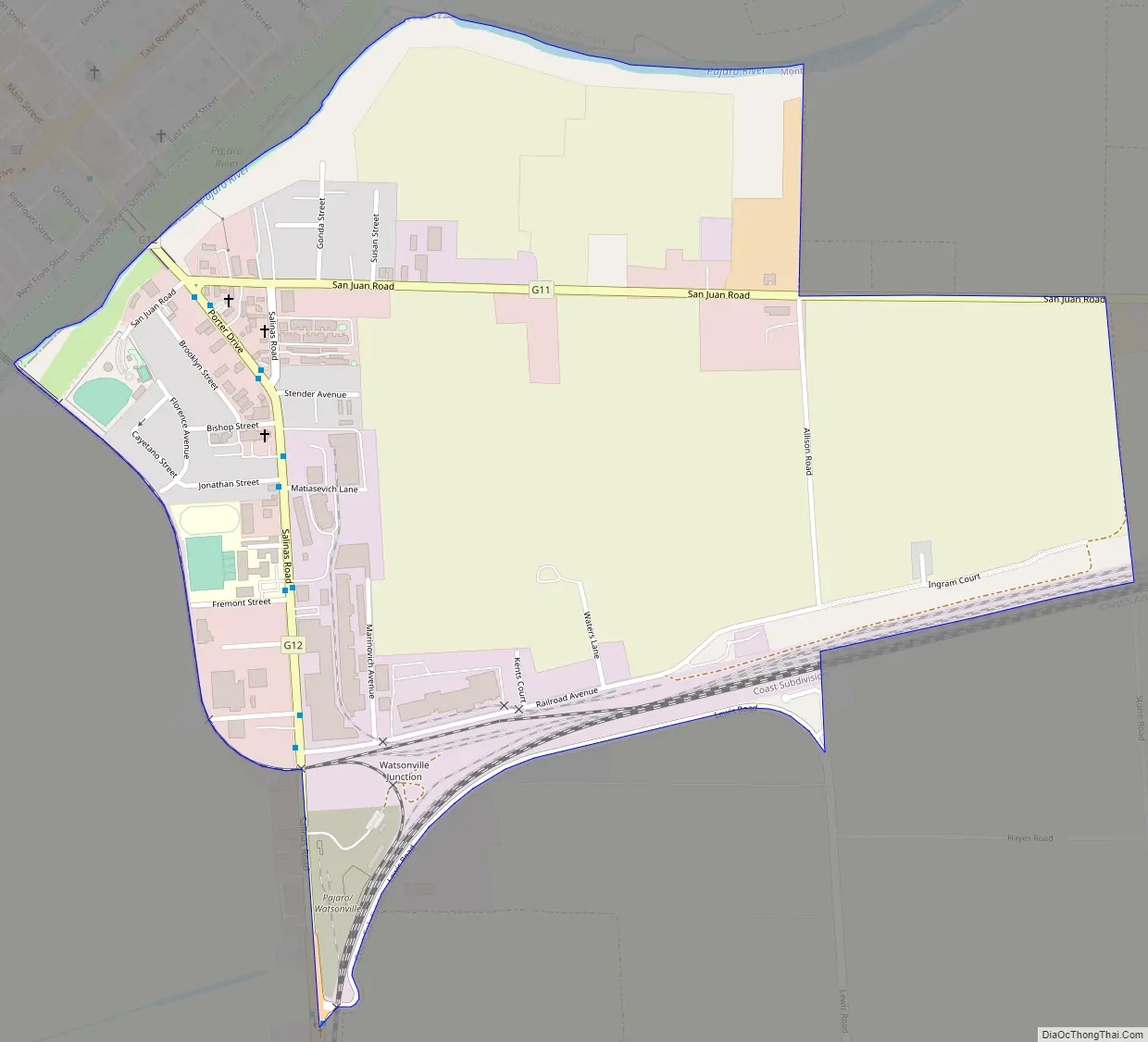
Pajaro Road Map
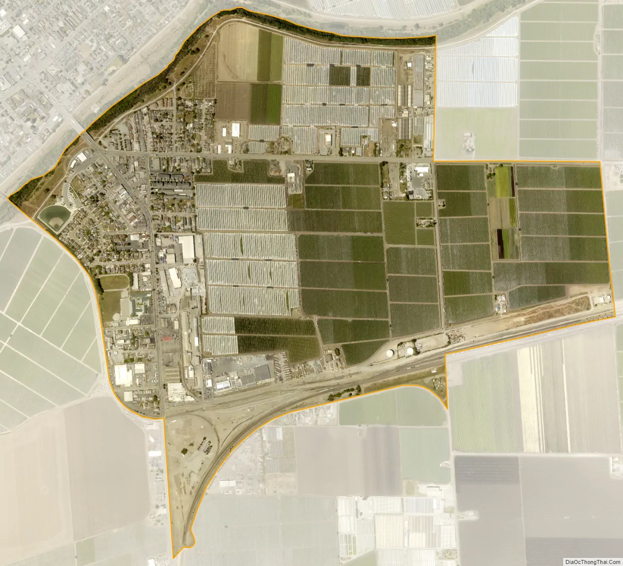
Pajaro city Satellite Map
Geography
Pajaro lies in the Pajaro Valley, with the Pajaro River forming the community’s and the county’s northern boundary. The city of Watsonville is across the river to the northwest, Santa Cruz County.
According to the United States Census Bureau, the Pajaro CDP has a total area of 0.9 square miles (2.3 km), all of it land.
See also
Map of California State and its subdivision:- Alameda
- Alpine
- Amador
- Butte
- Calaveras
- Colusa
- Contra Costa
- Del Norte
- El Dorado
- Fresno
- Glenn
- Humboldt
- Imperial
- Inyo
- Kern
- Kings
- Lake
- Lassen
- Los Angeles
- Madera
- Marin
- Mariposa
- Mendocino
- Merced
- Modoc
- Mono
- Monterey
- Napa
- Nevada
- Orange
- Placer
- Plumas
- Riverside
- Sacramento
- San Benito
- San Bernardino
- San Diego
- San Francisco
- San Joaquin
- San Luis Obispo
- San Mateo
- Santa Barbara
- Santa Clara
- Santa Cruz
- Shasta
- Sierra
- Siskiyou
- Solano
- Sonoma
- Stanislaus
- Sutter
- Tehama
- Trinity
- Tulare
- Tuolumne
- Ventura
- Yolo
- Yuba
- Alabama
- Alaska
- Arizona
- Arkansas
- California
- Colorado
- Connecticut
- Delaware
- District of Columbia
- Florida
- Georgia
- Hawaii
- Idaho
- Illinois
- Indiana
- Iowa
- Kansas
- Kentucky
- Louisiana
- Maine
- Maryland
- Massachusetts
- Michigan
- Minnesota
- Mississippi
- Missouri
- Montana
- Nebraska
- Nevada
- New Hampshire
- New Jersey
- New Mexico
- New York
- North Carolina
- North Dakota
- Ohio
- Oklahoma
- Oregon
- Pennsylvania
- Rhode Island
- South Carolina
- South Dakota
- Tennessee
- Texas
- Utah
- Vermont
- Virginia
- Washington
- West Virginia
- Wisconsin
- Wyoming


