Palo Verde (Spanish for “Green Stick”; Mojave: Hanyomalivah) is a census-designated place (CDP) in Imperial County, California. Its name comes from the native desert tree, Palo Verde (Parkinsonia florida), which in turn takes its name from the Spanish for stick (palo) and green (verde), sharing its name with the Palo Verde Valley, the valley it is located.
The Imperial County line passes just north of the town. A community named Ripley, in Riverside County lies along SR78 between Blythe and Palo Verde.
The ZIP Code for the community is 92266 and there is no postal delivery; residents use post office boxes. There is a U.S. Postal Service post office and an Imperial County Sheriff’s substation. The first post office to operate at Palo Verde opened in 1903 as Paloverde, changed its name to Palo Verde in 1905, and closed in 1940. A post office was re-established in 1949.
| Name: | Palo Verde CDP |
|---|---|
| LSAD Code: | 57 |
| LSAD Description: | CDP (suffix) |
| State: | California |
| County: | Imperial County |
| Elevation: | 233 ft (71 m) |
| Total Area: | 0.590 sq mi (1.530 km²) |
| Land Area: | 0.590 sq mi (1.530 km²) |
| Water Area: | 0 sq mi (0 km²) 0% |
| Total Population: | 171 |
| Population Density: | 290/sq mi (110/km²) |
| ZIP code: | 92266 |
| FIPS code: | 0655422 |
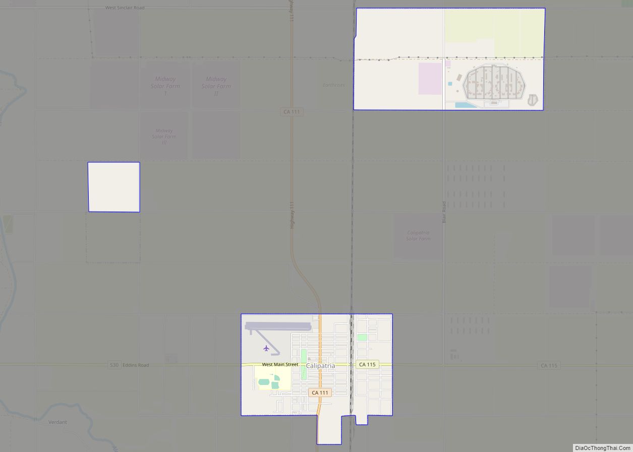
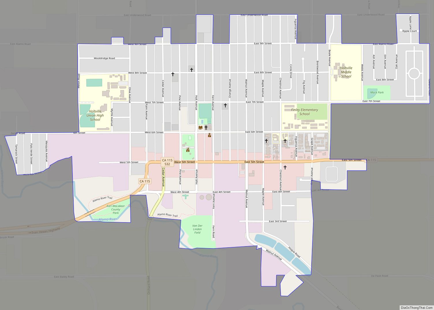
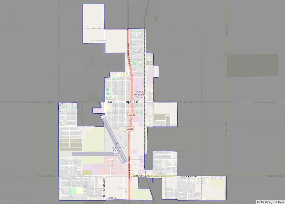
Online Interactive Map
Click on ![]() to view map in "full screen" mode.
to view map in "full screen" mode.
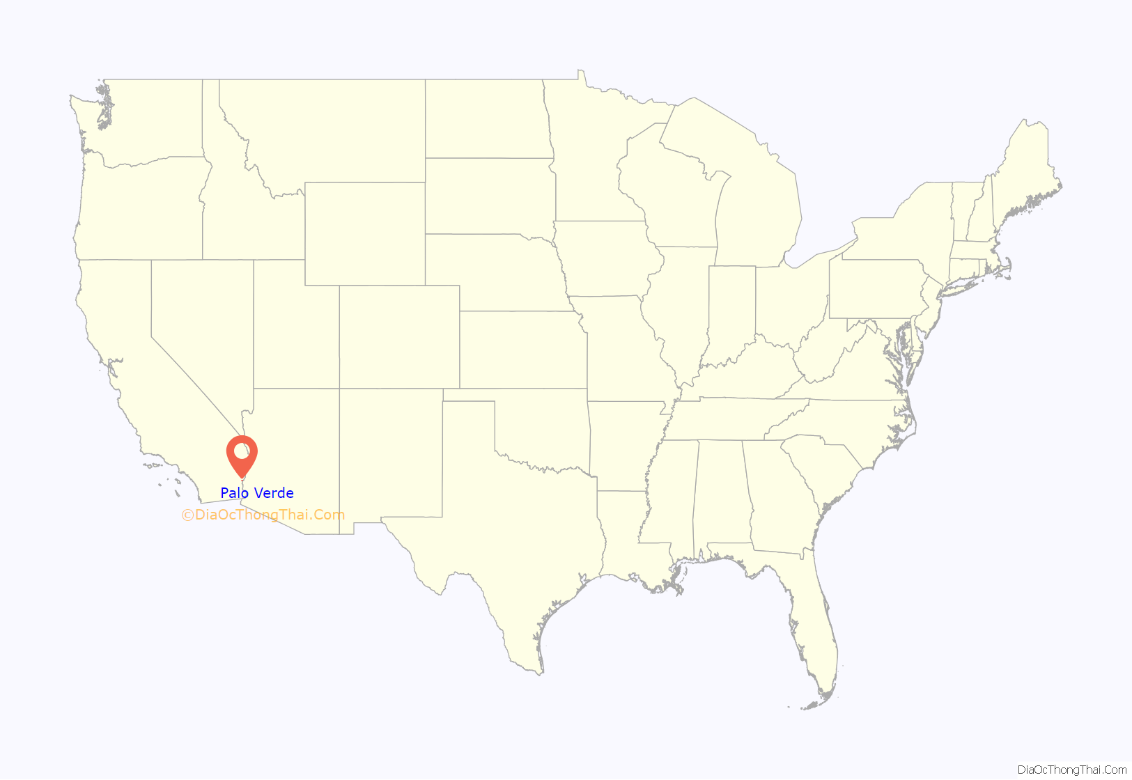
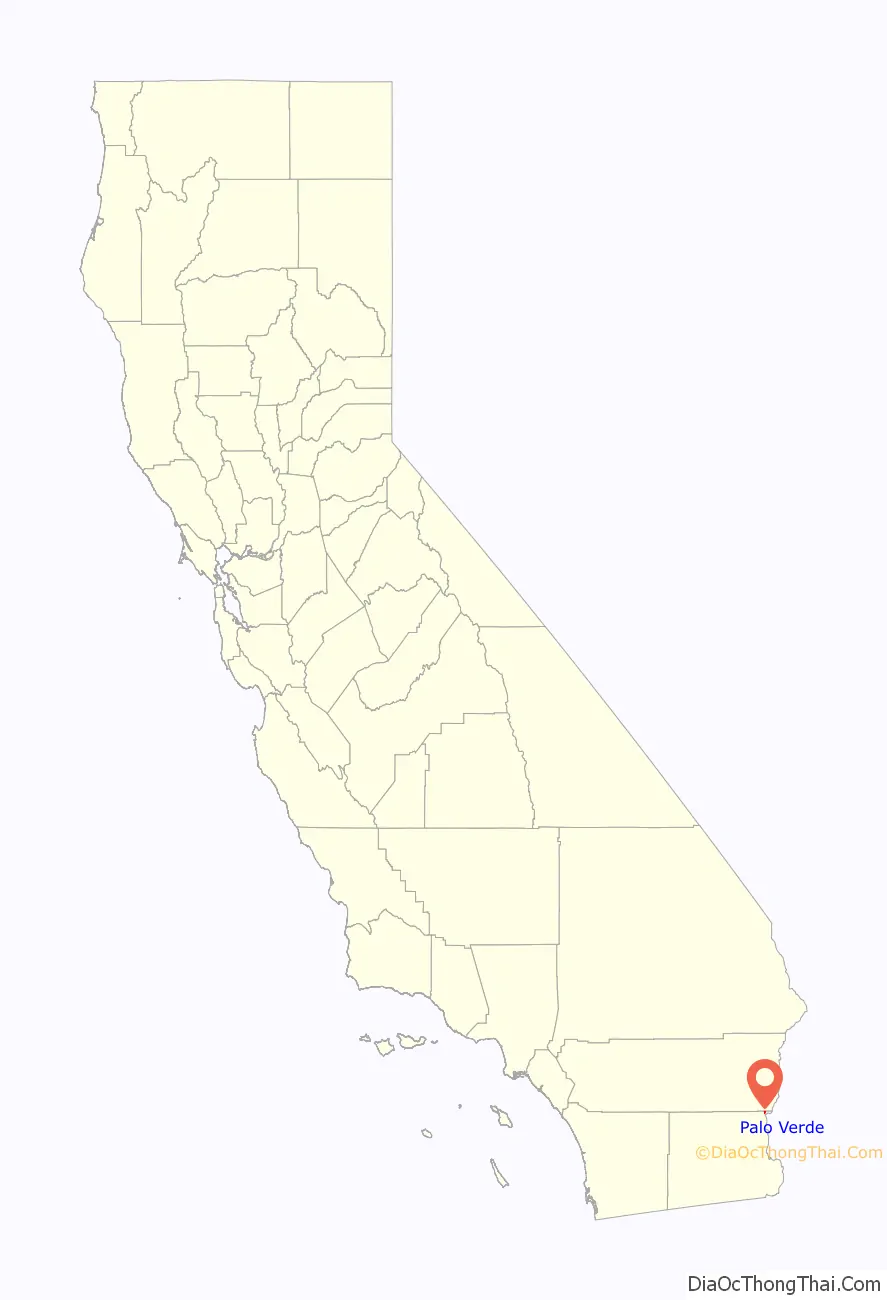
Palo Verde location map. Where is Palo Verde CDP?
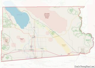
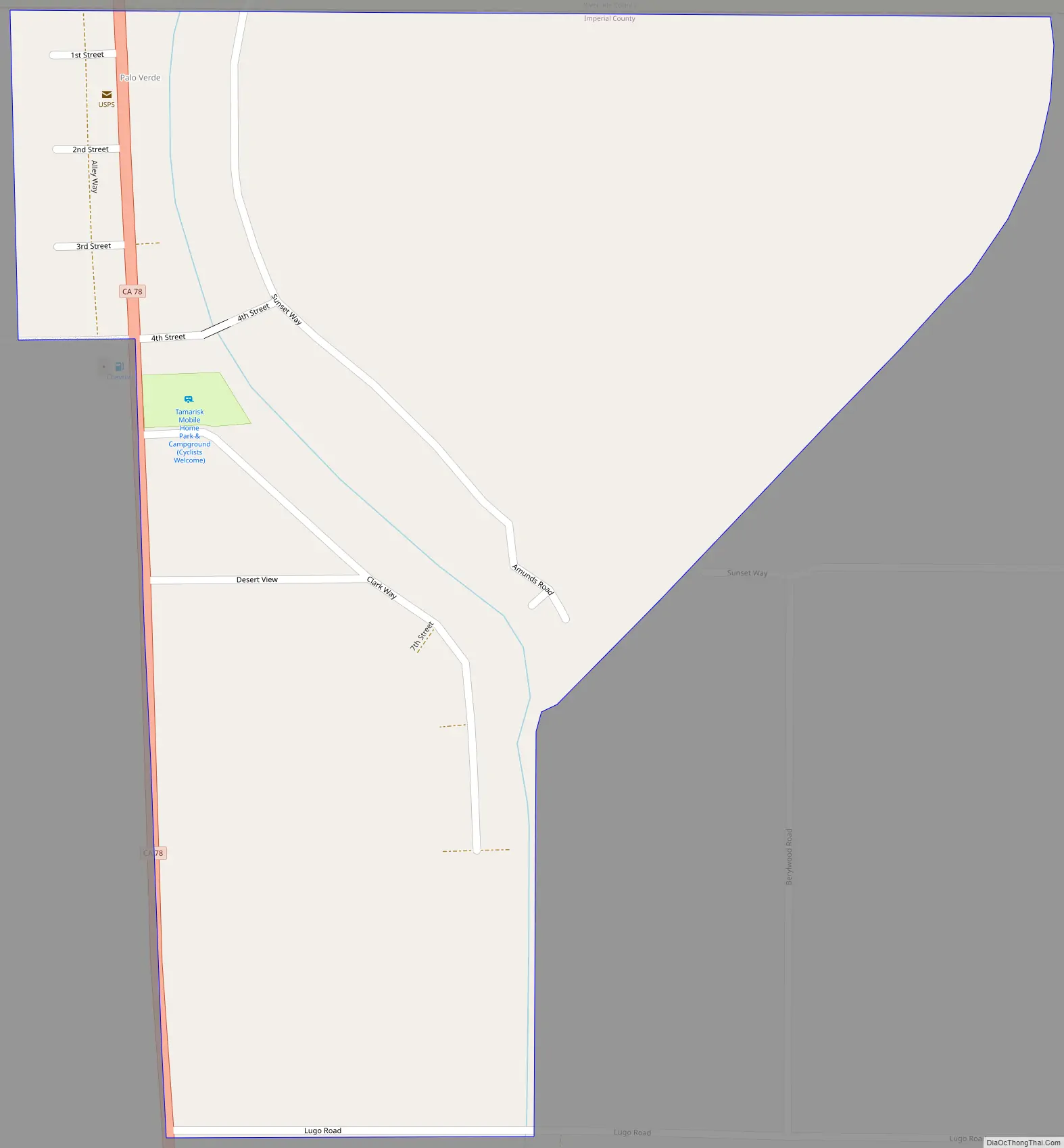
Palo Verde Road Map
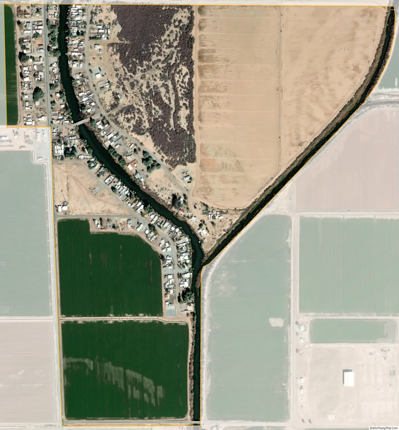
Palo Verde city Satellite Map
Geography
Palo Verde is located on the Riverside County line 65 miles (105 km) northeast of El Centro, The population was 171 at the 2010 census, down from 236 in 2000. It is part of the ‘El Centro, California Metropolitan Statistical Area’. State Route 78 (Ben Hulse Highway) runs north-south through the community. The majority of its population lives east of SR78 and west of the nearby Colorado River. It is also in the southern portion of the Palo Verde Valley.
According to the United States Census Bureau, the CDP has a total area of 0.6 square miles (1.6 km), all land.
Climate
See also
Map of California State and its subdivision:- Alameda
- Alpine
- Amador
- Butte
- Calaveras
- Colusa
- Contra Costa
- Del Norte
- El Dorado
- Fresno
- Glenn
- Humboldt
- Imperial
- Inyo
- Kern
- Kings
- Lake
- Lassen
- Los Angeles
- Madera
- Marin
- Mariposa
- Mendocino
- Merced
- Modoc
- Mono
- Monterey
- Napa
- Nevada
- Orange
- Placer
- Plumas
- Riverside
- Sacramento
- San Benito
- San Bernardino
- San Diego
- San Francisco
- San Joaquin
- San Luis Obispo
- San Mateo
- Santa Barbara
- Santa Clara
- Santa Cruz
- Shasta
- Sierra
- Siskiyou
- Solano
- Sonoma
- Stanislaus
- Sutter
- Tehama
- Trinity
- Tulare
- Tuolumne
- Ventura
- Yolo
- Yuba
- Alabama
- Alaska
- Arizona
- Arkansas
- California
- Colorado
- Connecticut
- Delaware
- District of Columbia
- Florida
- Georgia
- Hawaii
- Idaho
- Illinois
- Indiana
- Iowa
- Kansas
- Kentucky
- Louisiana
- Maine
- Maryland
- Massachusetts
- Michigan
- Minnesota
- Mississippi
- Missouri
- Montana
- Nebraska
- Nevada
- New Hampshire
- New Jersey
- New Mexico
- New York
- North Carolina
- North Dakota
- Ohio
- Oklahoma
- Oregon
- Pennsylvania
- Rhode Island
- South Carolina
- South Dakota
- Tennessee
- Texas
- Utah
- Vermont
- Virginia
- Washington
- West Virginia
- Wisconsin
- Wyoming