Palos Verdes Estates (Palos Verdes, Spanish for “Green Sticks”) is a city in Los Angeles County, California, United States, situated on the Palos Verdes Peninsula. The city was master-planned by the noted American landscape architect and planner Frederick Law Olmsted Jr. The city is located along the Southern California coastline of the Pacific Ocean.
The population was 13,347 at the 2020 census, a slight decrease from its 2010 population of 13,438. Palos Verdes Estates is one of the wealthiest cities in the United States. The 90274 ZIP code (covering the cities of Palos Verdes Estates and Rolling Hills) was ranked the 47th most expensive housing area among high property value U.S. ZIP codes in a 2007 study by Forbes.com. Palos Verdes is also known for its high-performing schools; its high school has been regularly ranked among the top 50 nationally by various publications.
| Name: | Palos Verdes Estates city |
|---|---|
| LSAD Code: | 25 |
| LSAD Description: | city (suffix) |
| State: | California |
| County: | Los Angeles County |
| Incorporated: | December 20, 1939 |
| Elevation: | 210 ft (64 m) |
| Total Area: | 4.77 sq mi (12.36 km²) |
| Land Area: | 4.77 sq mi (12.36 km²) |
| Water Area: | 0.00 sq mi (0.00 km²) 0.01% |
| Total Population: | 13,347 |
| Population Density: | 2,800/sq mi (1,100/km²) |
| ZIP code: | 90274 |
| FIPS code: | 0655380 |
| Website: | www.pvestates.org |
Online Interactive Map
Click on ![]() to view map in "full screen" mode.
to view map in "full screen" mode.
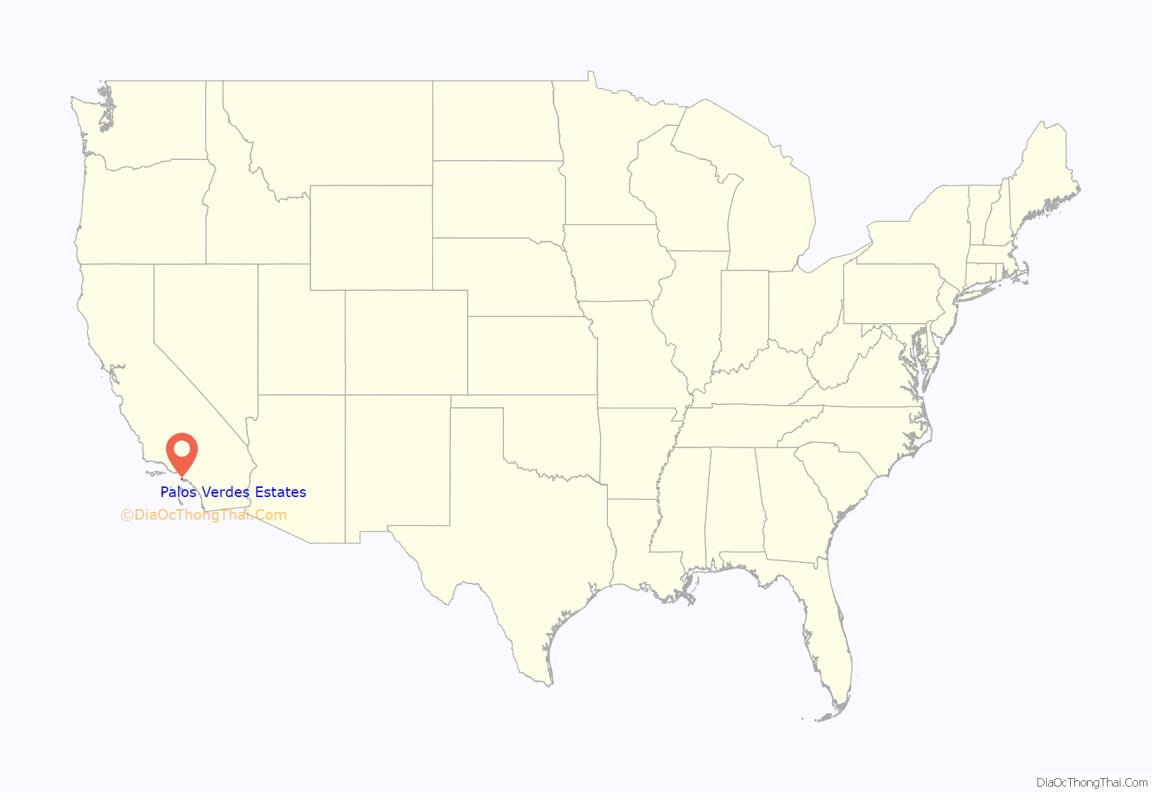
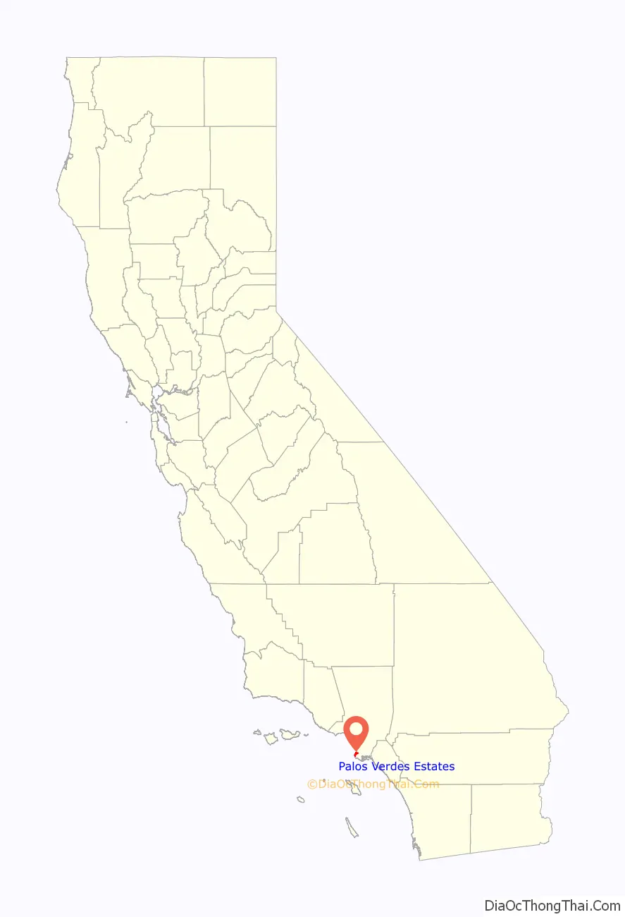
Palos Verdes Estates location map. Where is Palos Verdes Estates city?
History
Palos Verdes Estates was established as a planned community in 1923, with 3,200 acres (1,300 ha) carved out of the former Rancho Palos Verdes property of over 16,000 acres (6,500 ha). Frank Vanderlip established both a land syndicate holding the Palos Verdes peninsula, and a real estate development trust for the Palos Verdes Estates subdivision. The Commonwealth Trust Company filed the Palos Verdes Protective Restrictions in Los Angeles County in 1923. These restrictions established rules for the developer and all land owners. The developer was required to set aside half of the land for common use, including roads and parks, but also to build bridle paths, a golf course, and retain several miles of coastline free of development. No less than ninety percent of the remaining land was required to be used for single-family homes.
The designers of Palos Verdes Estates, Frederick Law Olmsted Jr. and Charles Cheney, used deed restrictions as a method of controlling development of the subdivision, even after many of the lots would have already been sold. The deed restrictions prohibited nuisance businesses, such as polluting industries, but also bars and cemeteries. The deed restrictions also included an exclusionary racial covenant which forbid an owner from selling or renting a house to anyone who wasn’t Caucasian. They were also not permitted to have African-Americans on their property with the exception of chauffeurs, gardeners, and domestic servants. The “sundown rule” was strictly in effect, and it wasn’t until 1948 when such restrictions were declared unconstitutional. Yet, it took 20 more years until the Fair Housing Act was passed in 1968 for the reality of the civil rights protections to take hold. An art jury reviewed all building plans, regulating any structure in regard to style, material, and even small details like color and the pitch of the roof. The construction of fences and hedges were subject to evaluation by the art jury.
The city’s oldest building is La Venta Inn built in 1923 as a sales office for Vanderlip and his business associates. Other buildings were erected mostly around the shopping area in Malaga Cove. Palos Verdes Estates was finally incorporate in 1939. The Malaga Cove Plaza building of the Palos Verdes Public Library, designed by Pasadena architect Myron Hunt, was placed on the National Register of Historic Places in 1995.
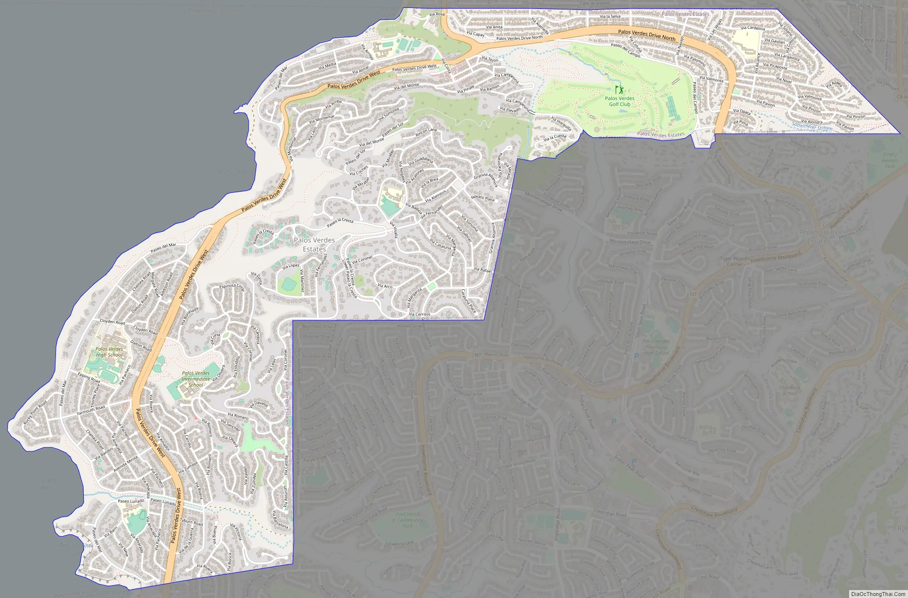
Palos Verdes Estates Road Map
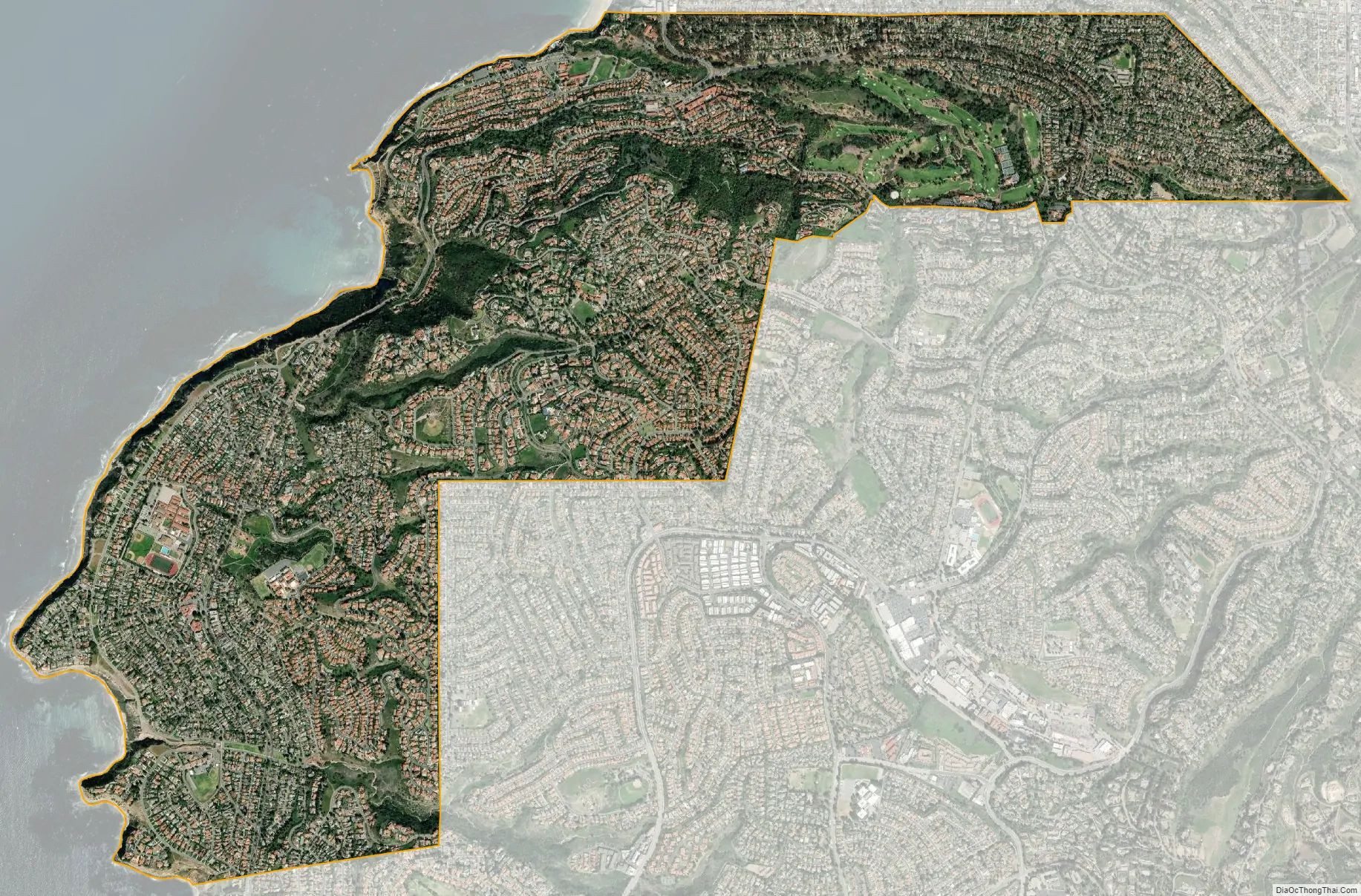
Palos Verdes Estates city Satellite Map
Geography
Palos Verdes Estates is located at 33°47′13″N 118°23′48″W / 33.78694°N 118.39667°W / 33.78694; -118.39667 (33.787049, -118.396657).
According to the United States Census Bureau, the city has a total area of 4.8 square miles (12 km), over 99% of it land.
See also
Map of California State and its subdivision:- Alameda
- Alpine
- Amador
- Butte
- Calaveras
- Colusa
- Contra Costa
- Del Norte
- El Dorado
- Fresno
- Glenn
- Humboldt
- Imperial
- Inyo
- Kern
- Kings
- Lake
- Lassen
- Los Angeles
- Madera
- Marin
- Mariposa
- Mendocino
- Merced
- Modoc
- Mono
- Monterey
- Napa
- Nevada
- Orange
- Placer
- Plumas
- Riverside
- Sacramento
- San Benito
- San Bernardino
- San Diego
- San Francisco
- San Joaquin
- San Luis Obispo
- San Mateo
- Santa Barbara
- Santa Clara
- Santa Cruz
- Shasta
- Sierra
- Siskiyou
- Solano
- Sonoma
- Stanislaus
- Sutter
- Tehama
- Trinity
- Tulare
- Tuolumne
- Ventura
- Yolo
- Yuba
- Alabama
- Alaska
- Arizona
- Arkansas
- California
- Colorado
- Connecticut
- Delaware
- District of Columbia
- Florida
- Georgia
- Hawaii
- Idaho
- Illinois
- Indiana
- Iowa
- Kansas
- Kentucky
- Louisiana
- Maine
- Maryland
- Massachusetts
- Michigan
- Minnesota
- Mississippi
- Missouri
- Montana
- Nebraska
- Nevada
- New Hampshire
- New Jersey
- New Mexico
- New York
- North Carolina
- North Dakota
- Ohio
- Oklahoma
- Oregon
- Pennsylvania
- Rhode Island
- South Carolina
- South Dakota
- Tennessee
- Texas
- Utah
- Vermont
- Virginia
- Washington
- West Virginia
- Wisconsin
- Wyoming


