Parlier is a city in Fresno County, California, United States. As of the 2020 census, the city had a total population of 18,494, up from 11,145 in 2000. The city has one of the state’s highest percentage of Latinos, a large majority of whom are seasonal migrant laborers who arrive and temporarily work in the area’s agricultural sector. Parlier is located 5.5 miles (9 km) east-northeast of Selma, at an elevation of 344 feet (105 m).
| Name: | Parlier city |
|---|---|
| LSAD Code: | 25 |
| LSAD Description: | city (suffix) |
| State: | California |
| County: | Fresno County |
| Incorporated: | November 15, 1921 |
| Elevation: | 344 ft (105 m) |
| Total Area: | 2.41 sq mi (6.24 km²) |
| Land Area: | 2.41 sq mi (6.24 km²) |
| Water Area: | 0.00 sq mi (0.00 km²) 0% |
| Total Population: | 14,494 |
| Population Density: | 6,483.19/sq mi (2,503.53/km²) |
| ZIP code: | 93648 |
| Area code: | 559 |
| FIPS code: | 0655856 |
| Website: | www.parlier.ca.us |
Online Interactive Map
Click on ![]() to view map in "full screen" mode.
to view map in "full screen" mode.
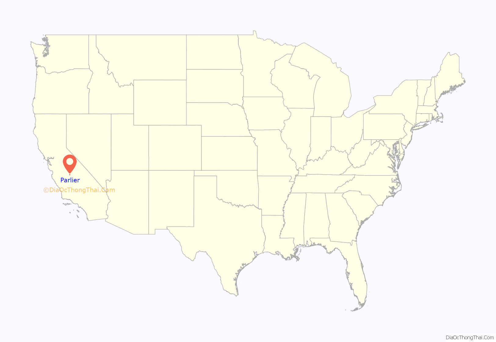
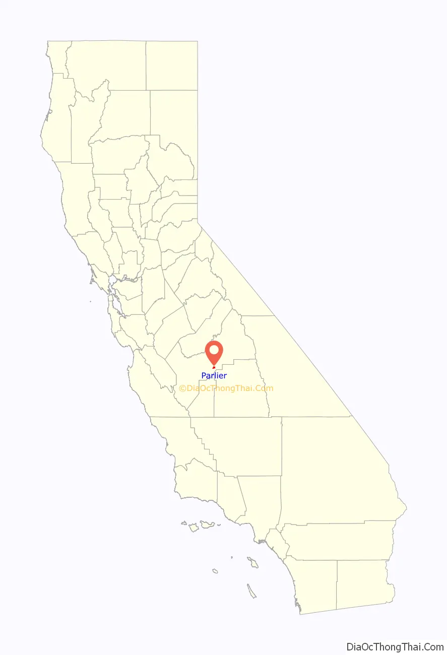
Parlier location map. Where is Parlier city?
History
In 1876, the I.N. Parlier family migrated from Springfield, Illinois to the present site of Parlier. The family’s name, and city’s namesake, was derived from DeParlier, their French ancestry. The Parlier family’s general store, trading post and post office became the center of town. Small, family-run wheat farms were initially cultivated in the area. Wheat soon gave way to grapes, raisins and tree fruit, foods that Parlier continues to produce. Improved irrigation systems and arrival of the railroad helped Parlier establish itself as a hub among surrounding communities.
Public schools
Parlier has four elementary schools, one junior high school, and one high school. In addition, there is a preschool and Head Start program, as well as continuing education.
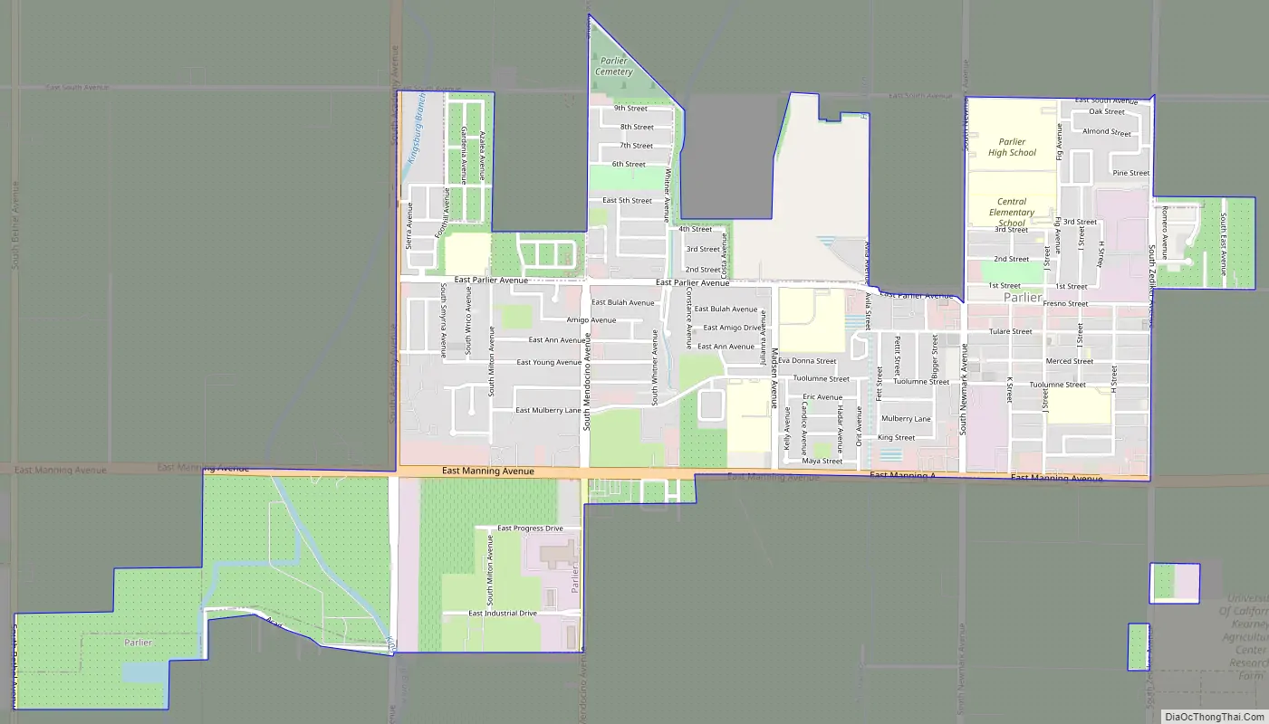
Parlier Road Map
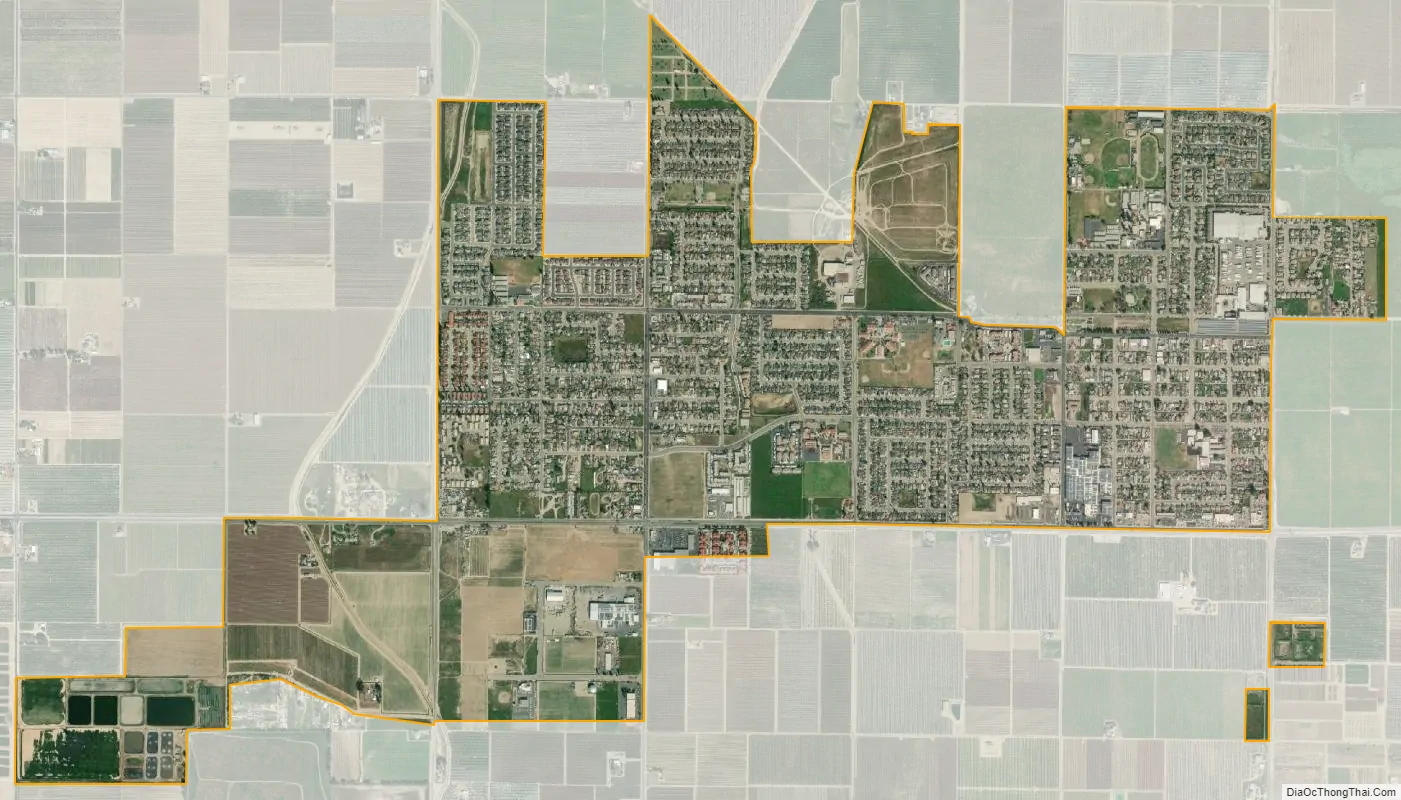
Parlier city Satellite Map
Geography
According to the United States Census Bureau, the city has a total area of 2.2 square miles (5.7 km), all land.
See also
Map of California State and its subdivision:- Alameda
- Alpine
- Amador
- Butte
- Calaveras
- Colusa
- Contra Costa
- Del Norte
- El Dorado
- Fresno
- Glenn
- Humboldt
- Imperial
- Inyo
- Kern
- Kings
- Lake
- Lassen
- Los Angeles
- Madera
- Marin
- Mariposa
- Mendocino
- Merced
- Modoc
- Mono
- Monterey
- Napa
- Nevada
- Orange
- Placer
- Plumas
- Riverside
- Sacramento
- San Benito
- San Bernardino
- San Diego
- San Francisco
- San Joaquin
- San Luis Obispo
- San Mateo
- Santa Barbara
- Santa Clara
- Santa Cruz
- Shasta
- Sierra
- Siskiyou
- Solano
- Sonoma
- Stanislaus
- Sutter
- Tehama
- Trinity
- Tulare
- Tuolumne
- Ventura
- Yolo
- Yuba
- Alabama
- Alaska
- Arizona
- Arkansas
- California
- Colorado
- Connecticut
- Delaware
- District of Columbia
- Florida
- Georgia
- Hawaii
- Idaho
- Illinois
- Indiana
- Iowa
- Kansas
- Kentucky
- Louisiana
- Maine
- Maryland
- Massachusetts
- Michigan
- Minnesota
- Mississippi
- Missouri
- Montana
- Nebraska
- Nevada
- New Hampshire
- New Jersey
- New Mexico
- New York
- North Carolina
- North Dakota
- Ohio
- Oklahoma
- Oregon
- Pennsylvania
- Rhode Island
- South Carolina
- South Dakota
- Tennessee
- Texas
- Utah
- Vermont
- Virginia
- Washington
- West Virginia
- Wisconsin
- Wyoming


