Pearsonville is a census-designated place (CDP) in Inyo County, California, United States. The population was 17 at the 2010 census, down from 27 at the 2000 census. Pearsonville has been dubbed the “Hubcap Capital of the World” because of resident Lucy Pearson’s collection of hubcaps, which are rumored to number over 80,000.
| Name: | Pearsonville CDP |
|---|---|
| LSAD Code: | 57 |
| LSAD Description: | CDP (suffix) |
| State: | California |
| County: | Inyo County |
| Elevation: | 2,513 ft (766 m) |
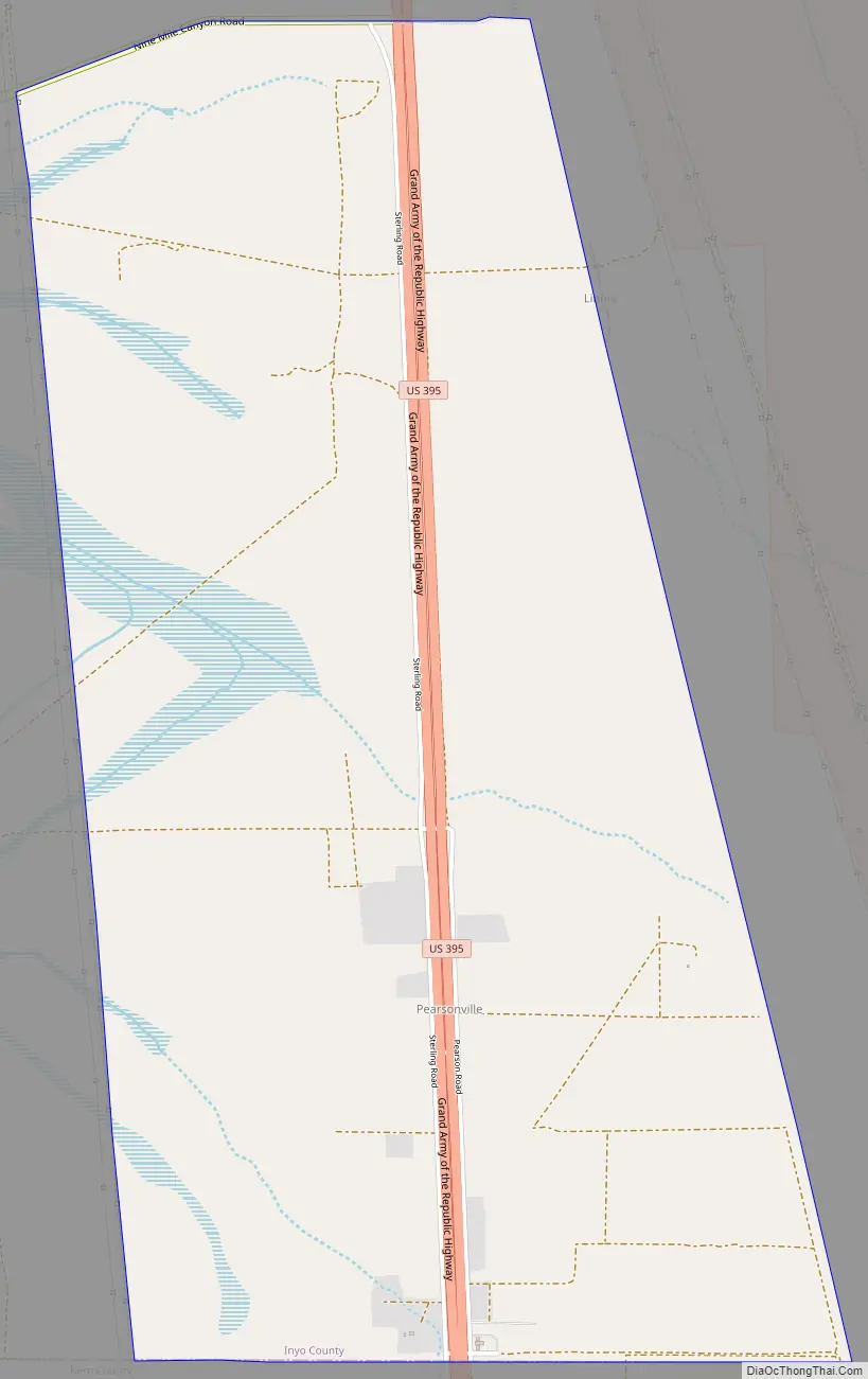
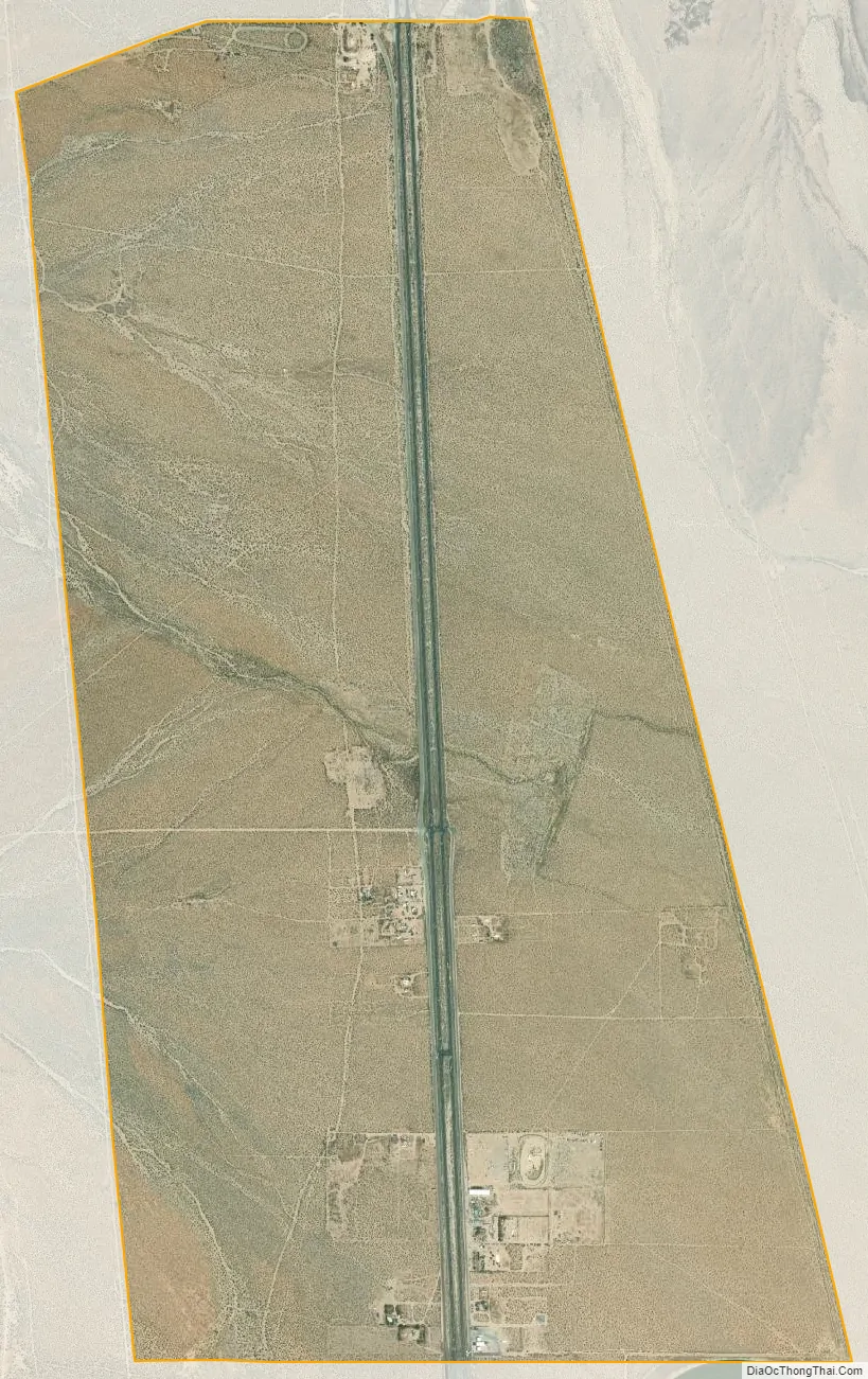
| Total Area: | 4.222 sq mi (10.935 km²) |
| Land Area: | 4.141 sq mi (10.724 km²) |
| Water Area: | 0.081 sq mi (0.211 km²) 1.93% |
| Total Population: | 17 |
| Population Density: | 4.0/sq mi (1.6/km²) |
| ZIP code: | 93527 |
| FIPS code: | 0656294 |
| GNISfeature ID: | 1666984 |
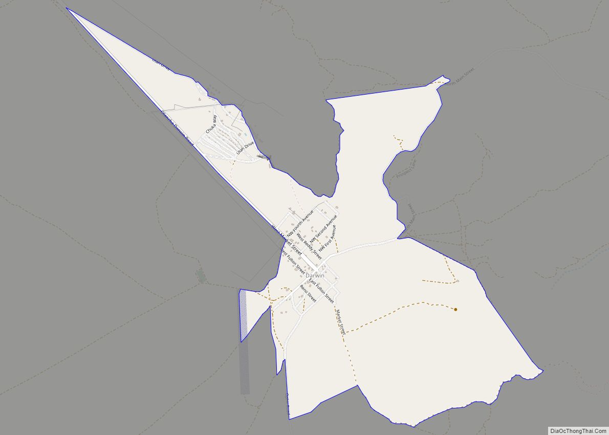
Online Interactive Map
Click on ![]() to view map in "full screen" mode.
to view map in "full screen" mode.
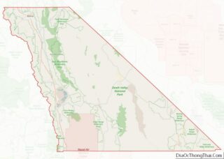
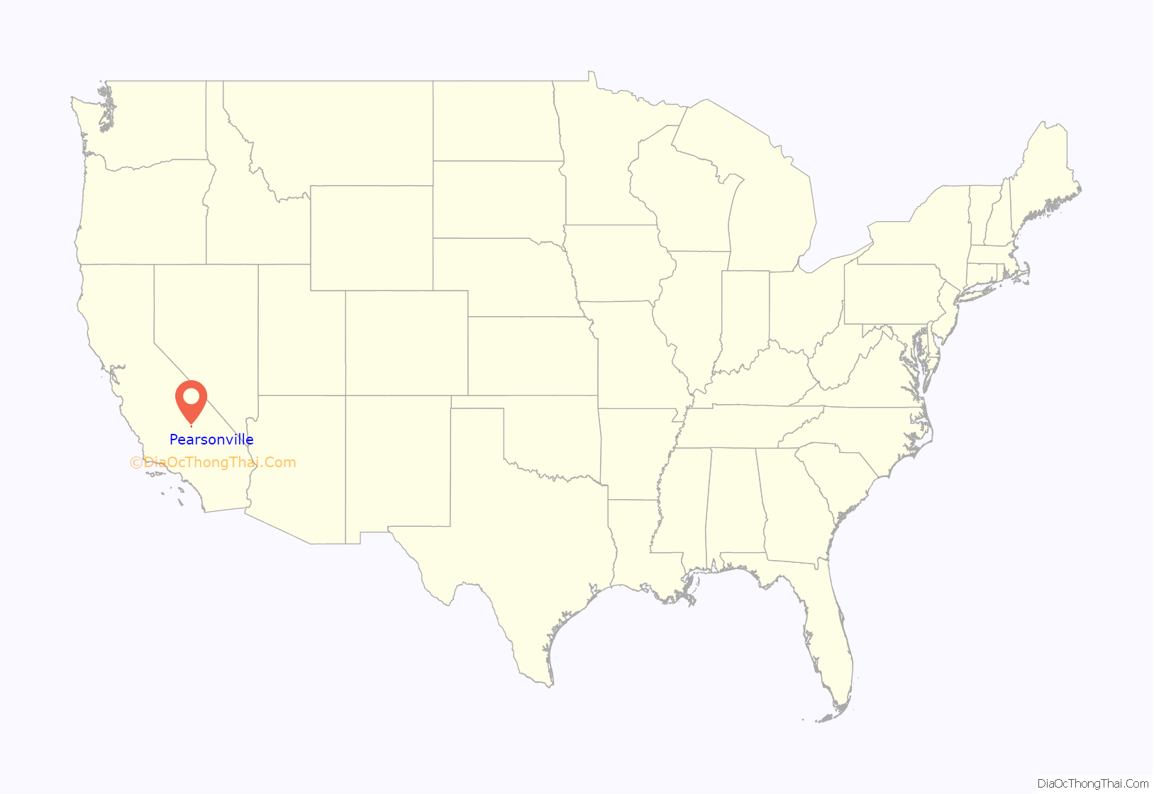
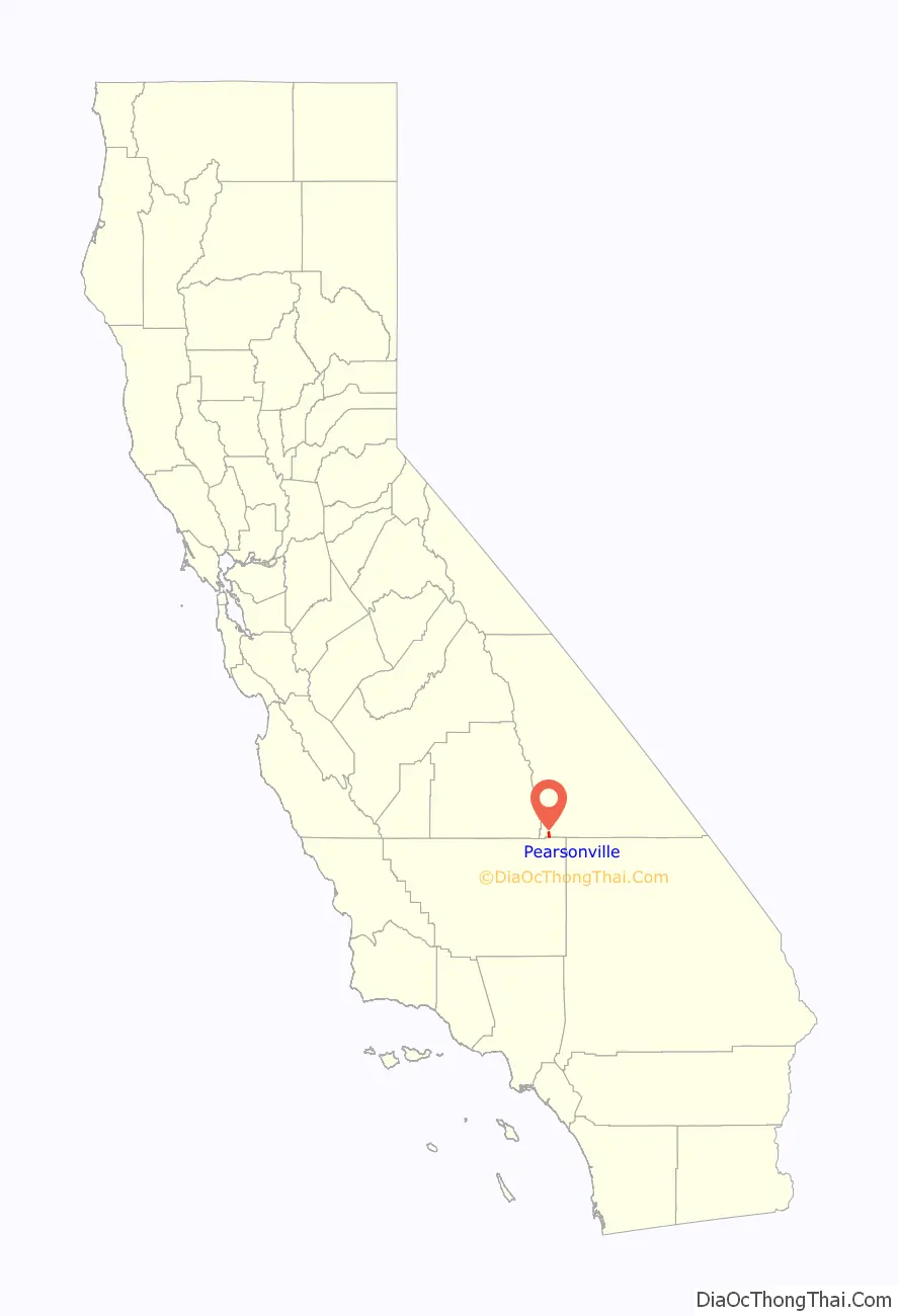
Pearsonville location map. Where is Pearsonville CDP?
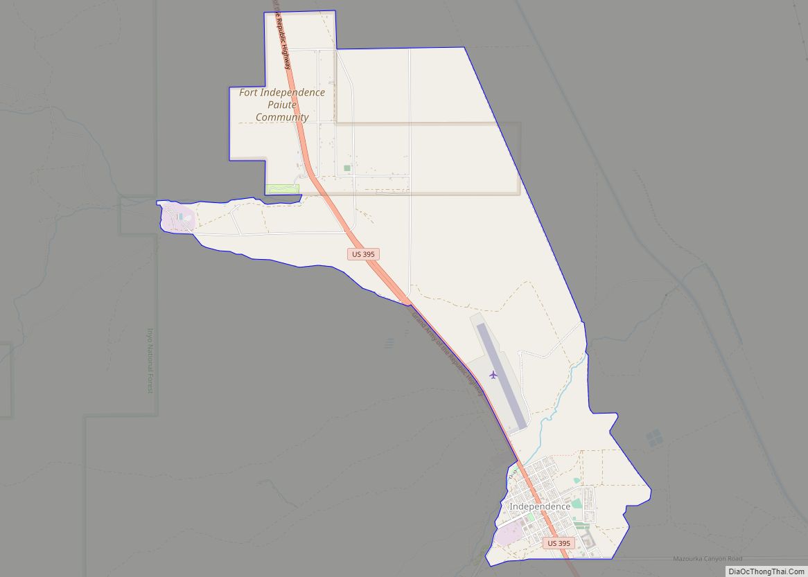
Pearsonville Road Map
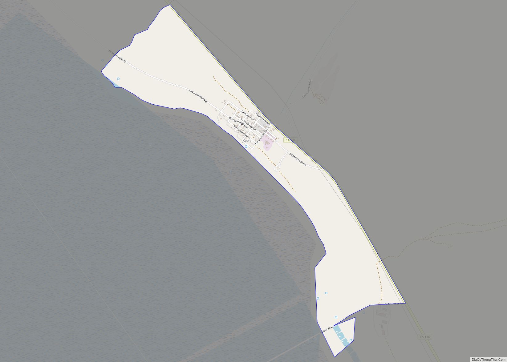
Pearsonville city Satellite Map
Geography
According to the United States Census Bureau, the CDP has a total area of 4.2 square miles (11 km), over 98% of which is land and 1.93% is water.
See also
Map of California State and its subdivision:- Alameda
- Alpine
- Amador
- Butte
- Calaveras
- Colusa
- Contra Costa
- Del Norte
- El Dorado
- Fresno
- Glenn
- Humboldt
- Imperial
- Inyo
- Kern
- Kings
- Lake
- Lassen
- Los Angeles
- Madera
- Marin
- Mariposa
- Mendocino
- Merced
- Modoc
- Mono
- Monterey
- Napa
- Nevada
- Orange
- Placer
- Plumas
- Riverside
- Sacramento
- San Benito
- San Bernardino
- San Diego
- San Francisco
- San Joaquin
- San Luis Obispo
- San Mateo
- Santa Barbara
- Santa Clara
- Santa Cruz
- Shasta
- Sierra
- Siskiyou
- Solano
- Sonoma
- Stanislaus
- Sutter
- Tehama
- Trinity
- Tulare
- Tuolumne
- Ventura
- Yolo
- Yuba
- Alabama
- Alaska
- Arizona
- Arkansas
- California
- Colorado
- Connecticut
- Delaware
- District of Columbia
- Florida
- Georgia
- Hawaii
- Idaho
- Illinois
- Indiana
- Iowa
- Kansas
- Kentucky
- Louisiana
- Maine
- Maryland
- Massachusetts
- Michigan
- Minnesota
- Mississippi
- Missouri
- Montana
- Nebraska
- Nevada
- New Hampshire
- New Jersey
- New Mexico
- New York
- North Carolina
- North Dakota
- Ohio
- Oklahoma
- Oregon
- Pennsylvania
- Rhode Island
- South Carolina
- South Dakota
- Tennessee
- Texas
- Utah
- Vermont
- Virginia
- Washington
- West Virginia
- Wisconsin
- Wyoming