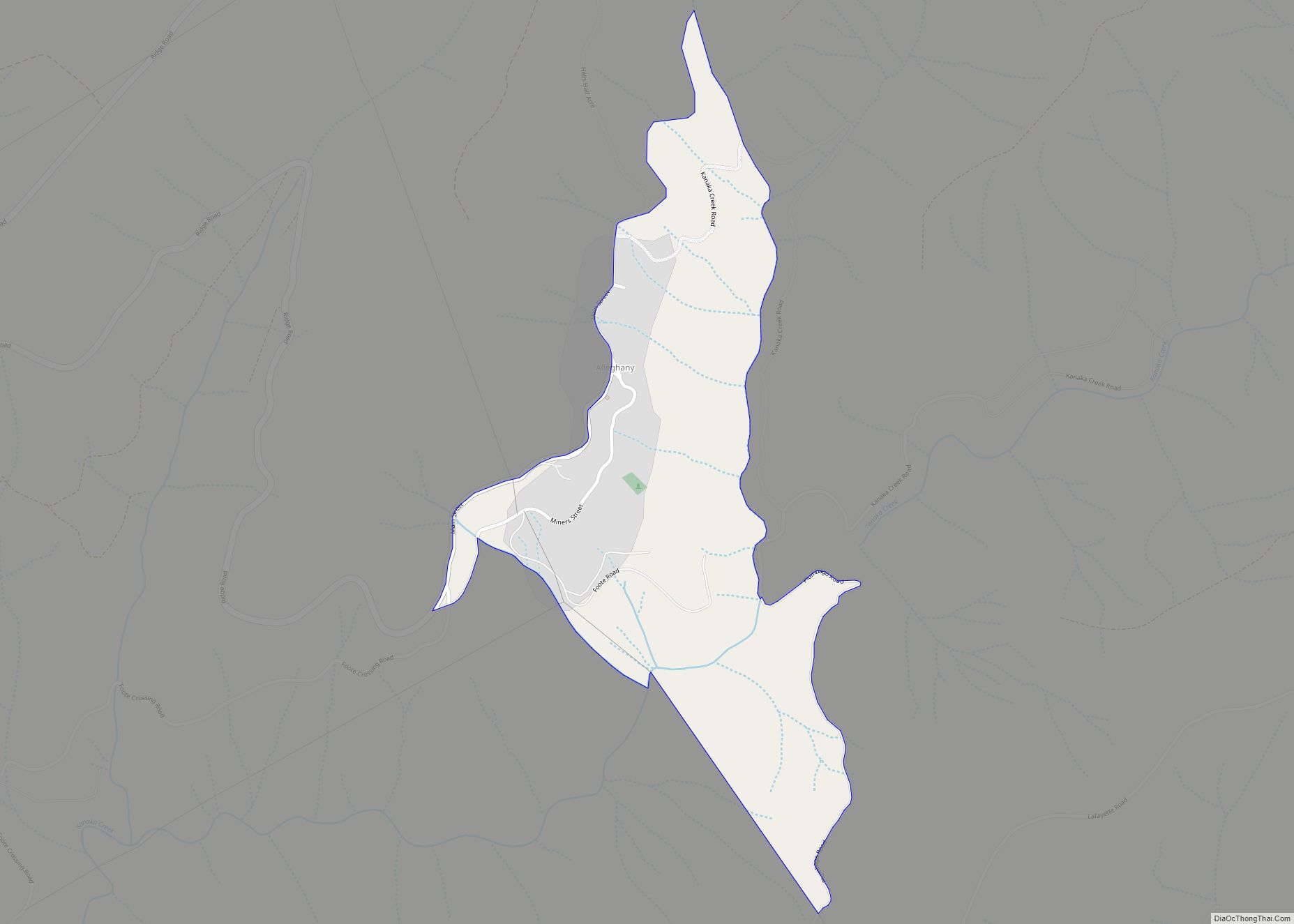
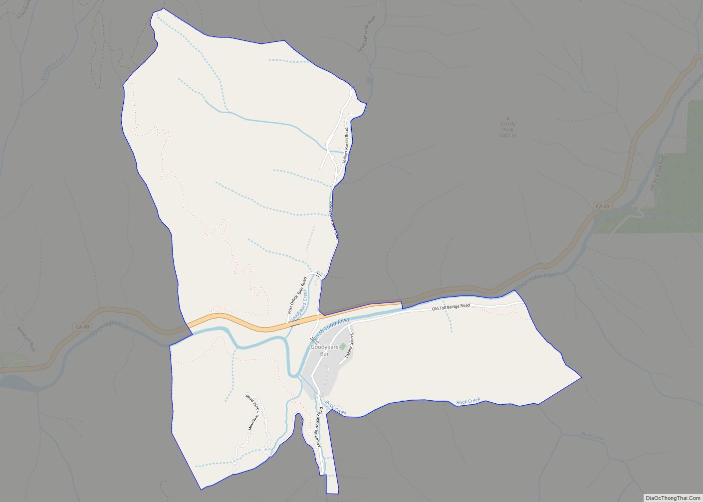
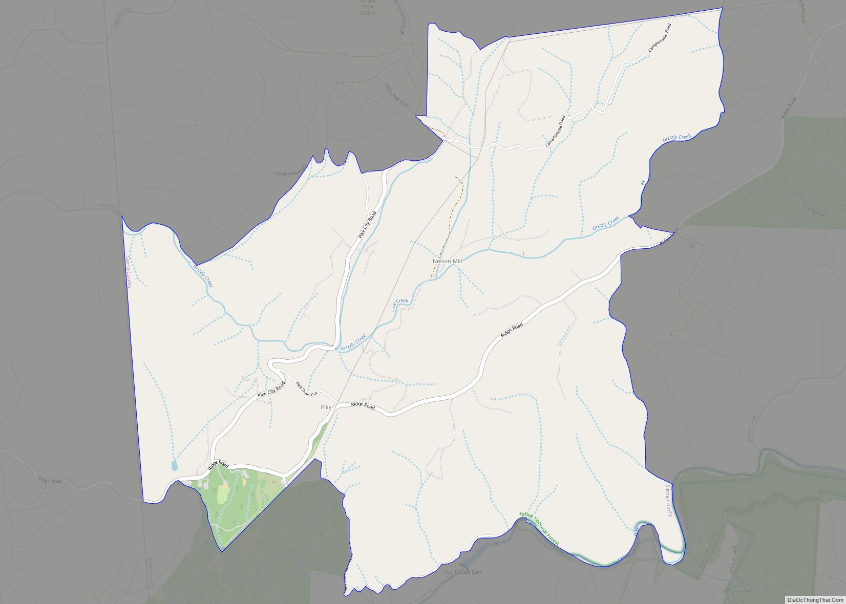
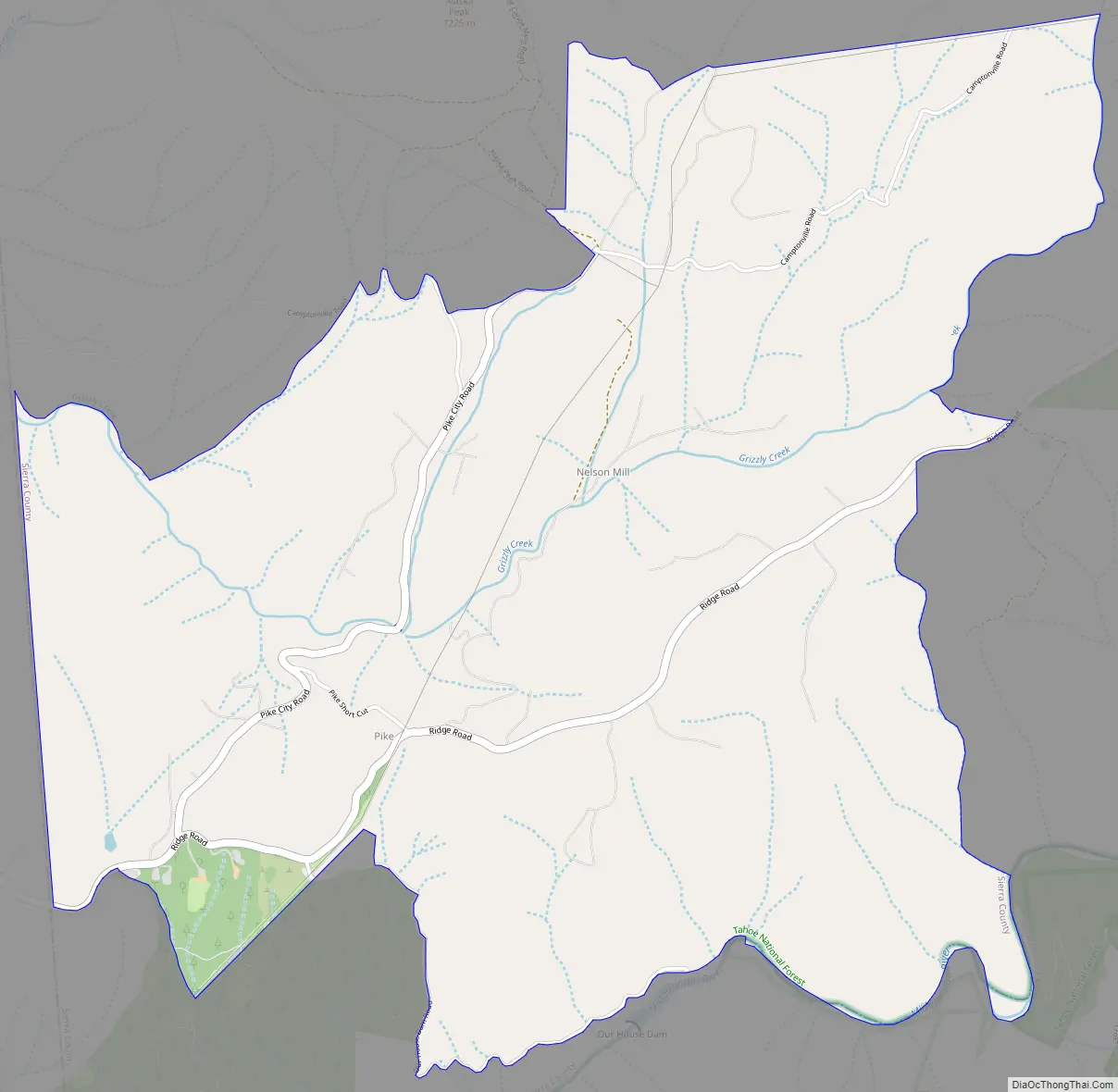
Pike, formerly Pike City is a census-designated place in Sierra County, California, United States. Pike is 8.5 miles (13.7 km) west-southwest of Alleghany. The community was named after Pike County, Missouri. The post office in Pike opened as Pike City Post Office in 1877, became Pike Post Office in 1895, and closed in 1954. The population was 134 at the 2010 census.
Pike is the home of playwright and director Zach Helm.
| Name: | Pike CDP |
|---|---|
| LSAD Code: | 57 |
| LSAD Description: | CDP (suffix) |
| State: | California |
| County: | Sierra County |
| Elevation: | 3,445 ft (1,050 m) |
| Total Area: | 4.287 sq mi (11.102 km²) |
| Land Area: | 4.287 sq mi (11.102 km²) |
| Water Area: | 0 sq mi (0 km²) 0% |
| Total Population: | 134 |
| Area code: | 530 |
| FIPS code: | 0657036 |
Online Interactive Map
Click on ![]() to view map in "full screen" mode.
to view map in "full screen" mode.
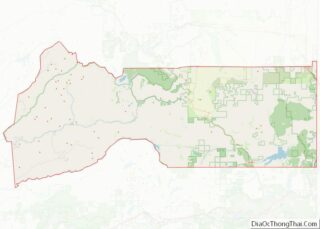
Pike location map. Where is Pike CDP?
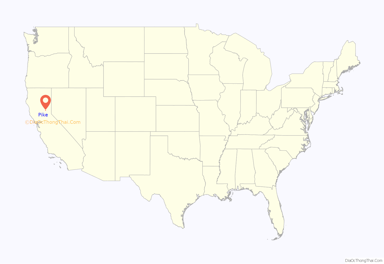
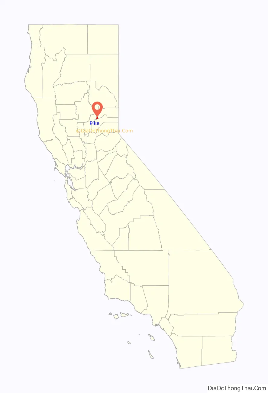
Pike Road Map
Pike city Satellite Map

Geography
According to the United States Census Bureau, the CDP covers an area of 4.3 square miles (11.1 km), all of it land.
See also
Map of California State and its subdivision:- Alameda
- Alpine
- Amador
- Butte
- Calaveras
- Colusa
- Contra Costa
- Del Norte
- El Dorado
- Fresno
- Glenn
- Humboldt
- Imperial
- Inyo
- Kern
- Kings
- Lake
- Lassen
- Los Angeles
- Madera
- Marin
- Mariposa
- Mendocino
- Merced
- Modoc
- Mono
- Monterey
- Napa
- Nevada
- Orange
- Placer
- Plumas
- Riverside
- Sacramento
- San Benito
- San Bernardino
- San Diego
- San Francisco
- San Joaquin
- San Luis Obispo
- San Mateo
- Santa Barbara
- Santa Clara
- Santa Cruz
- Shasta
- Sierra
- Siskiyou
- Solano
- Sonoma
- Stanislaus
- Sutter
- Tehama
- Trinity
- Tulare
- Tuolumne
- Ventura
- Yolo
- Yuba
- Alabama
- Alaska
- Arizona
- Arkansas
- California
- Colorado
- Connecticut
- Delaware
- District of Columbia
- Florida
- Georgia
- Hawaii
- Idaho
- Illinois
- Indiana
- Iowa
- Kansas
- Kentucky
- Louisiana
- Maine
- Maryland
- Massachusetts
- Michigan
- Minnesota
- Mississippi
- Missouri
- Montana
- Nebraska
- Nevada
- New Hampshire
- New Jersey
- New Mexico
- New York
- North Carolina
- North Dakota
- Ohio
- Oklahoma
- Oregon
- Pennsylvania
- Rhode Island
- South Carolina
- South Dakota
- Tennessee
- Texas
- Utah
- Vermont
- Virginia
- Washington
- West Virginia
- Wisconsin
- Wyoming