Pine Canyon is an unincorporated community and census-designated place (CDP) in Monterey County, California, just south of King City. Pine Canyon sits at an elevation of 515 feet (157 m). As of the 2020 census, the population was 1,871.
| Name: | Pine Canyon CDP |
|---|---|
| LSAD Code: | 57 |
| LSAD Description: | CDP (suffix) |
| State: | California |
| County: | Monterey County |
| Elevation: | 515 ft (157 m) |
| Total Area: | 3.337 sq mi (8.642 km²) |
| Land Area: | 3.336 sq mi (8.639 km²) |
| Water Area: | 0.001 sq mi (0.002 km²) 0.03% |
| Total Population: | 1,871 |
| Population Density: | 560.9/sq mi (216.6/km²) |
| ZIP code: | 93930 (King City) |
| FIPS code: | 0657070 |
| GNISfeature ID: | 2583113 |
Online Interactive Map
Click on ![]() to view map in "full screen" mode.
to view map in "full screen" mode.
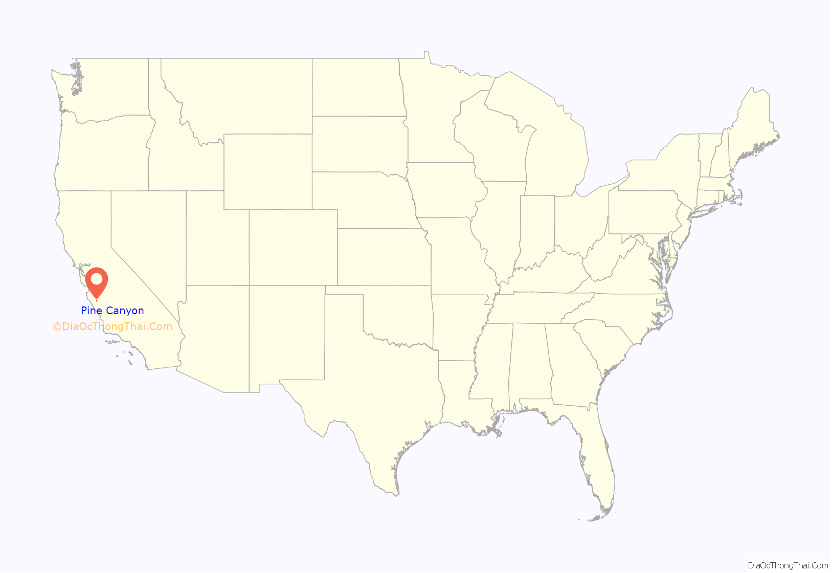
Pine Canyon location map. Where is Pine Canyon CDP?
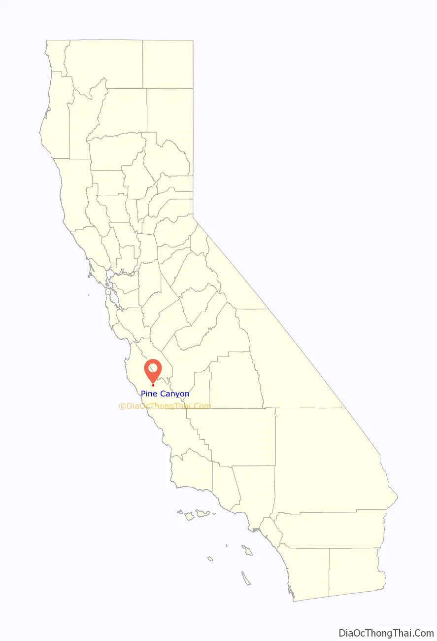
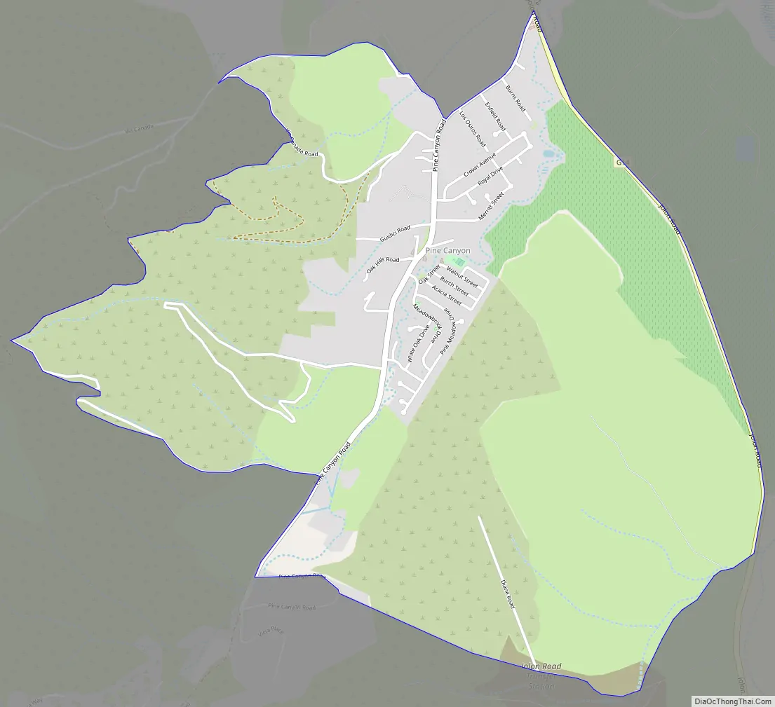
Pine Canyon Road Map
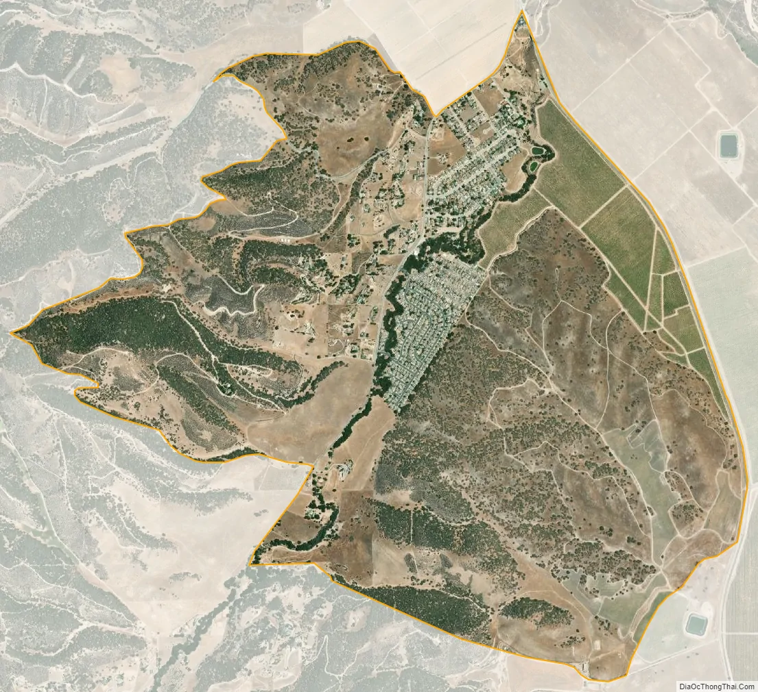
Pine Canyon city Satellite Map
Geography
Pine Canyon is in eastern Monterey County on the southwest side of the Salinas Valley. It is 3 miles (5 km) south of King City and less than 1 mile (1.6 km) south of U.S. Route 101, which leads northwest 45 miles (72 km) to Salinas, the county seat, and southeast 55 miles (89 km) to Paso Robles.
According to the United States Census Bureau, the Pine Canyon CDP covers an area of 3.3 square miles (8.5 km), of which 0.001 square miles (0.64 acres), or 0.03%, are water.
See also
Map of California State and its subdivision:- Alameda
- Alpine
- Amador
- Butte
- Calaveras
- Colusa
- Contra Costa
- Del Norte
- El Dorado
- Fresno
- Glenn
- Humboldt
- Imperial
- Inyo
- Kern
- Kings
- Lake
- Lassen
- Los Angeles
- Madera
- Marin
- Mariposa
- Mendocino
- Merced
- Modoc
- Mono
- Monterey
- Napa
- Nevada
- Orange
- Placer
- Plumas
- Riverside
- Sacramento
- San Benito
- San Bernardino
- San Diego
- San Francisco
- San Joaquin
- San Luis Obispo
- San Mateo
- Santa Barbara
- Santa Clara
- Santa Cruz
- Shasta
- Sierra
- Siskiyou
- Solano
- Sonoma
- Stanislaus
- Sutter
- Tehama
- Trinity
- Tulare
- Tuolumne
- Ventura
- Yolo
- Yuba
- Alabama
- Alaska
- Arizona
- Arkansas
- California
- Colorado
- Connecticut
- Delaware
- District of Columbia
- Florida
- Georgia
- Hawaii
- Idaho
- Illinois
- Indiana
- Iowa
- Kansas
- Kentucky
- Louisiana
- Maine
- Maryland
- Massachusetts
- Michigan
- Minnesota
- Mississippi
- Missouri
- Montana
- Nebraska
- Nevada
- New Hampshire
- New Jersey
- New Mexico
- New York
- North Carolina
- North Dakota
- Ohio
- Oklahoma
- Oregon
- Pennsylvania
- Rhode Island
- South Carolina
- South Dakota
- Tennessee
- Texas
- Utah
- Vermont
- Virginia
- Washington
- West Virginia
- Wisconsin
- Wyoming


