Pixley is a census-designated place (CDP) in Tulare County, California, United States. The population was 3,310 at the 2010 census, up from 2,586 at the 2000 census.
| Name: | Pixley CDP |
|---|---|
| LSAD Code: | 57 |
| LSAD Description: | CDP (suffix) |
| State: | California |
| County: | Tulare County |
| Elevation: | 272 ft (83 m) |
| Total Area: | 3.114 sq mi (8.066 km²) |
| Land Area: | 3.114 sq mi (8.066 km²) |
| Water Area: | 0 sq mi (0 km²) 0% |
| Total Population: | 3,310 |
| Population Density: | 1,100/sq mi (410/km²) |
| ZIP code: | 93256 |
| Area code: | 559 |
| FIPS code: | 0657512 |
| GNISfeature ID: | 1652777 |
Online Interactive Map
Click on ![]() to view map in "full screen" mode.
to view map in "full screen" mode.
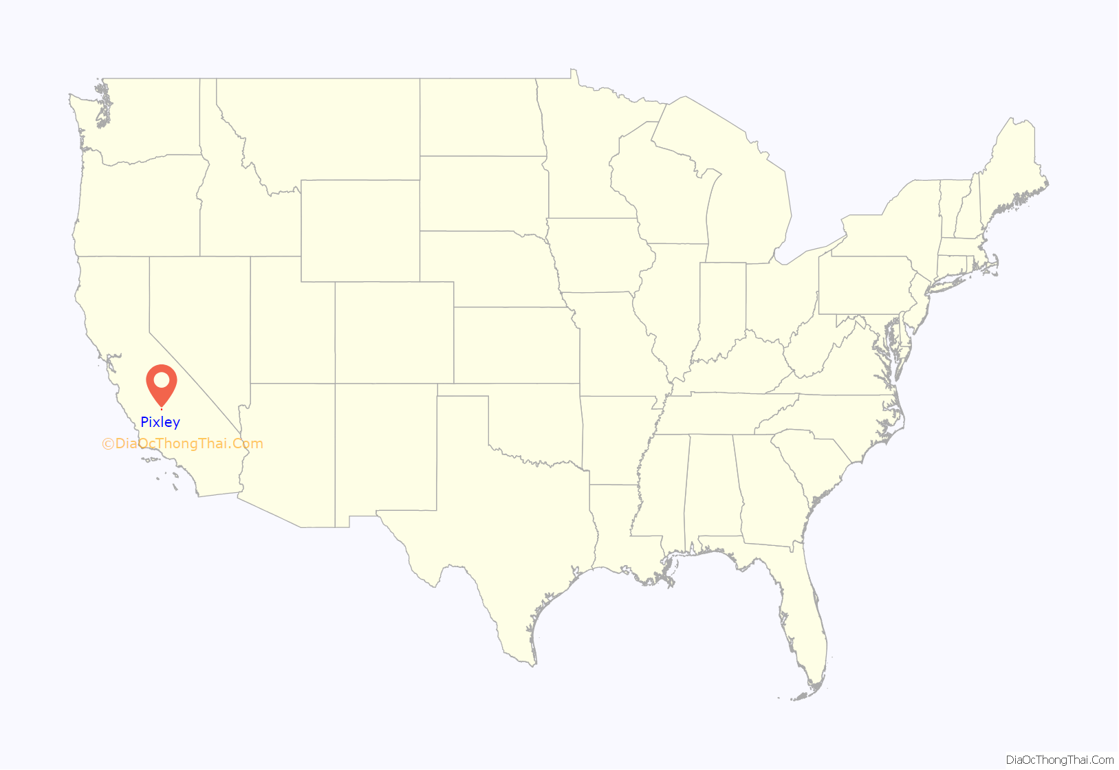
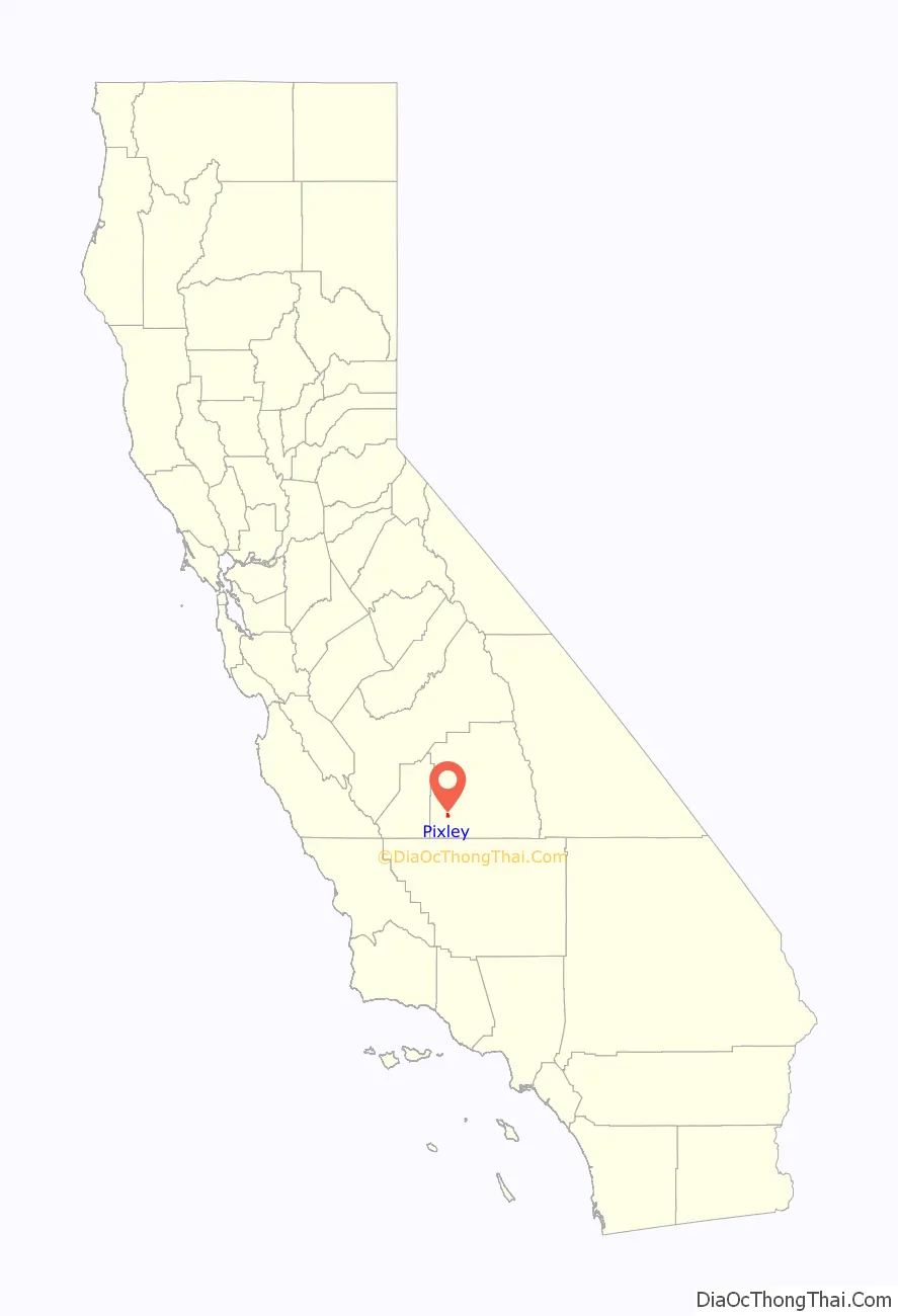
Pixley location map. Where is Pixley CDP?
History
The town began as a real-estate-speculation in 1884. The investors Darwin C. Allen, and William B. Bradbury knew their project would succeed only if the town was connected to the mainline of the Southern Pacific. They contacted Frank Pixley; a man whom they knew was a friend of Leland Stanford. In 1886, Pixley joined with the original investors as a partner in the Pixley Townsite Company. The company purchased additional land in the vicinity. When The Southern Pacific extended its tracks to the Townsite, the town prospered. The terms of sale for the land was 25% down, the rest to be carried back for three years by the owners at 8 percent interest. The partners made a handsome profit. Special railroad fares were offered to people in other areas of California and as far away as Boston in order to bring potential customers to see the new lands and the investment possibilities near Pixley. The first house built in Pixley was for Emma, William Pixley’s widow, the late brother of Frank Pixley. Her three sons and daughter lived in the home. Emma bought a quarter section of an adjoining piece of land where she farmed until they moved back to San Francisco. Frank Pixley advertised the town named after him in his biweekly journal The Argonaut.
In the early 1890s, Chris Evans and John Sontag robbed a Southern Pacific Railroad train at Pixley.
In 1933, Pixley was one of the towns in California involved in the San Joaquin cotton strike, a labor action by agricultural workers seeking higher wages. A violent clash between strikers and growers left two workers dead and eight wounded. Five thousand workers gathered in Tulare for the dead strikers’ funerals, one of the largest agricultural demonstrations in California’s history. Eight cotton growers were indicted in the violence against the workers, but were later acquitted. The strike features in Steinbeck’s novel, The Grapes of Wrath, coinciding with the arrival of the Joad family from Oklahoma.
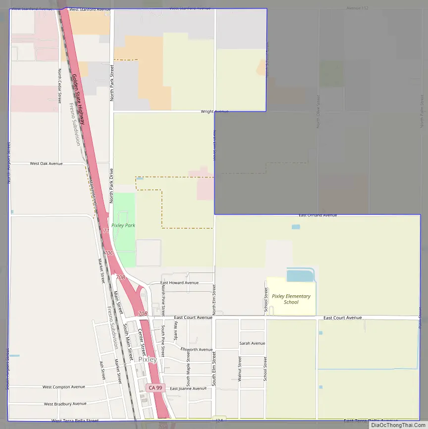
Pixley Road Map
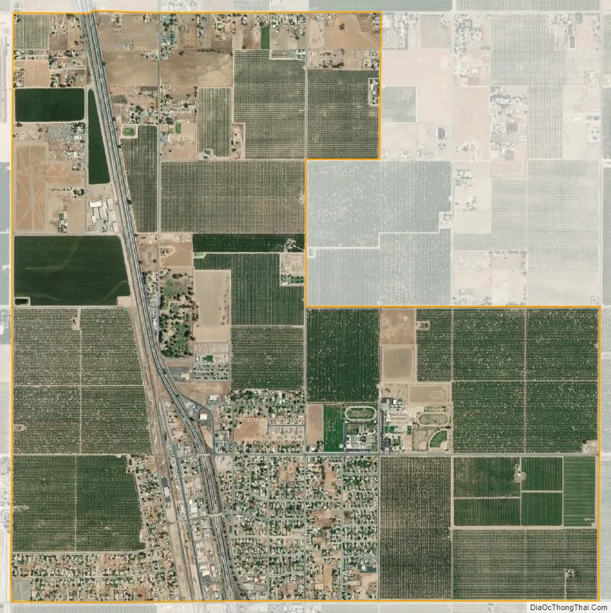
Pixley city Satellite Map
Geography
Pixley is located at 35°58′13″N 119°17′27″W / 35.97028°N 119.29083°W / 35.97028; -119.29083 (35.970405, -119.290729).
According to the United States Census Bureau, the CDP has a total area of 3.1 square miles (8.0 km), all of it land.
Climate
According to the Köppen Climate Classification system, Pixley has a semi-arid climate, abbreviated “BSk” on climate maps.
See also
Map of California State and its subdivision:- Alameda
- Alpine
- Amador
- Butte
- Calaveras
- Colusa
- Contra Costa
- Del Norte
- El Dorado
- Fresno
- Glenn
- Humboldt
- Imperial
- Inyo
- Kern
- Kings
- Lake
- Lassen
- Los Angeles
- Madera
- Marin
- Mariposa
- Mendocino
- Merced
- Modoc
- Mono
- Monterey
- Napa
- Nevada
- Orange
- Placer
- Plumas
- Riverside
- Sacramento
- San Benito
- San Bernardino
- San Diego
- San Francisco
- San Joaquin
- San Luis Obispo
- San Mateo
- Santa Barbara
- Santa Clara
- Santa Cruz
- Shasta
- Sierra
- Siskiyou
- Solano
- Sonoma
- Stanislaus
- Sutter
- Tehama
- Trinity
- Tulare
- Tuolumne
- Ventura
- Yolo
- Yuba
- Alabama
- Alaska
- Arizona
- Arkansas
- California
- Colorado
- Connecticut
- Delaware
- District of Columbia
- Florida
- Georgia
- Hawaii
- Idaho
- Illinois
- Indiana
- Iowa
- Kansas
- Kentucky
- Louisiana
- Maine
- Maryland
- Massachusetts
- Michigan
- Minnesota
- Mississippi
- Missouri
- Montana
- Nebraska
- Nevada
- New Hampshire
- New Jersey
- New Mexico
- New York
- North Carolina
- North Dakota
- Ohio
- Oklahoma
- Oregon
- Pennsylvania
- Rhode Island
- South Carolina
- South Dakota
- Tennessee
- Texas
- Utah
- Vermont
- Virginia
- Washington
- West Virginia
- Wisconsin
- Wyoming


