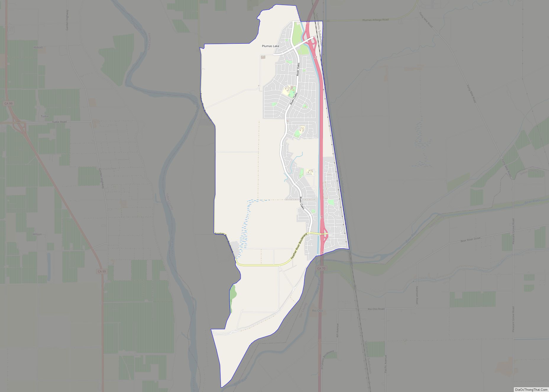
Plumas Lake is a master-planned exurb and census-designated place in Yuba County, California. Plumas Lake is located 30 miles (48 km) north of the city of Sacramento on the Feather River, just prior to its confluence with the Bear River and the Sacramento River. At full build-out the community is expected to have roughly 12,000 homes and 36,000 residents. The community (which is unincorporated) is located about 10 miles (16 km) south of the city of Marysville in southern Yuba County. It lies at an elevation of 46 feet (14 m). The population was 8,126 at the 2020 census.
Plumas Lake shares the same ZIP code as Olivehurst, California, a neighboring town. However, Plumas Lake stands as a separate community that is located south of the crossing of McGowan and Arboga and includes the North Arboga Study Area.
Many individuals and agencies (including the U.S. Army Corps of Engineers) were opposed to the construction of this project due to the history of severe (15+ feet of standing water) flooding. Notable floods in the area occurred in 1986 and 1997. The flood risk in the area was exacerbated by hydraulic mining which occurred in the Yuba River watershed upstream of the region. Mine tailings wound up in the river beds and were then transported into the Sacramento Valley, where they accumulated in the river channels and reduced their conveyance capacities. This mining activity was part of the Gold Rush of California.
A park and ride facility was opened on October 1, 2009 by Caltrans in the Plumas Lake area, along California State Route 70 and Feather River Blvd. There are currently four gas stations and a drugstore in Plumas Lake.
| Name: | Plumas Lake CDP |
|---|---|
| LSAD Code: | 57 |
| LSAD Description: | CDP (suffix) |
| State: | California |
| County: | Yuba County |
| Elevation: | 46 ft (14 m) |
| Total Area: | 8.382 sq mi (21.710 km²) |
| Land Area: | 8.382 sq mi (21.710 km²) |
| Water Area: | 0 sq mi (0 km²) 0% |
| Total Population: | 8,126 |
| Population Density: | 970/sq mi (370/km²) |
| ZIP code: | 95961 |
| Area code: | 530 |
| FIPS code: | 0657829 |
Online Interactive Map
Click on ![]() to view map in "full screen" mode.
to view map in "full screen" mode.
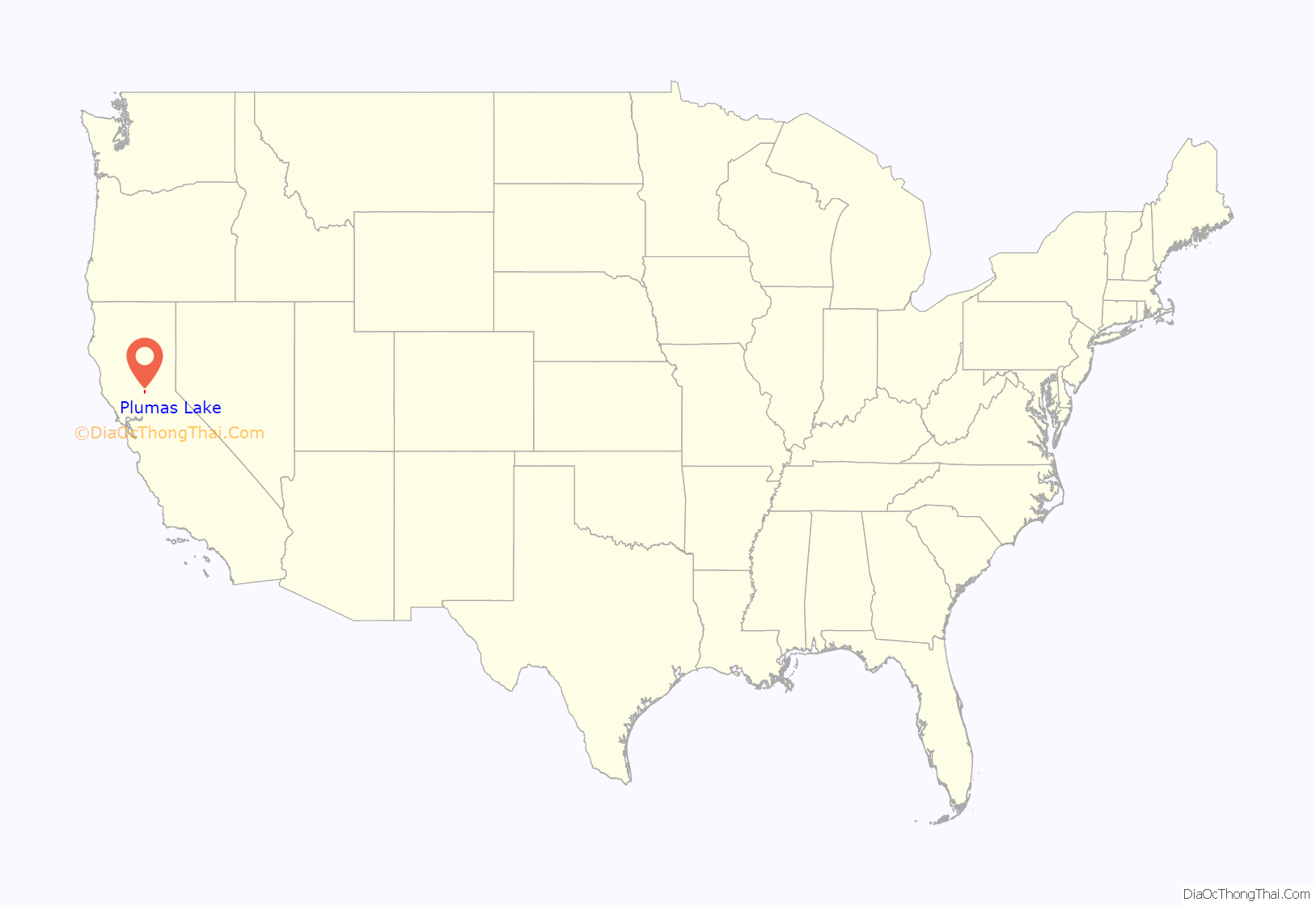
Plumas Lake location map. Where is Plumas Lake CDP?
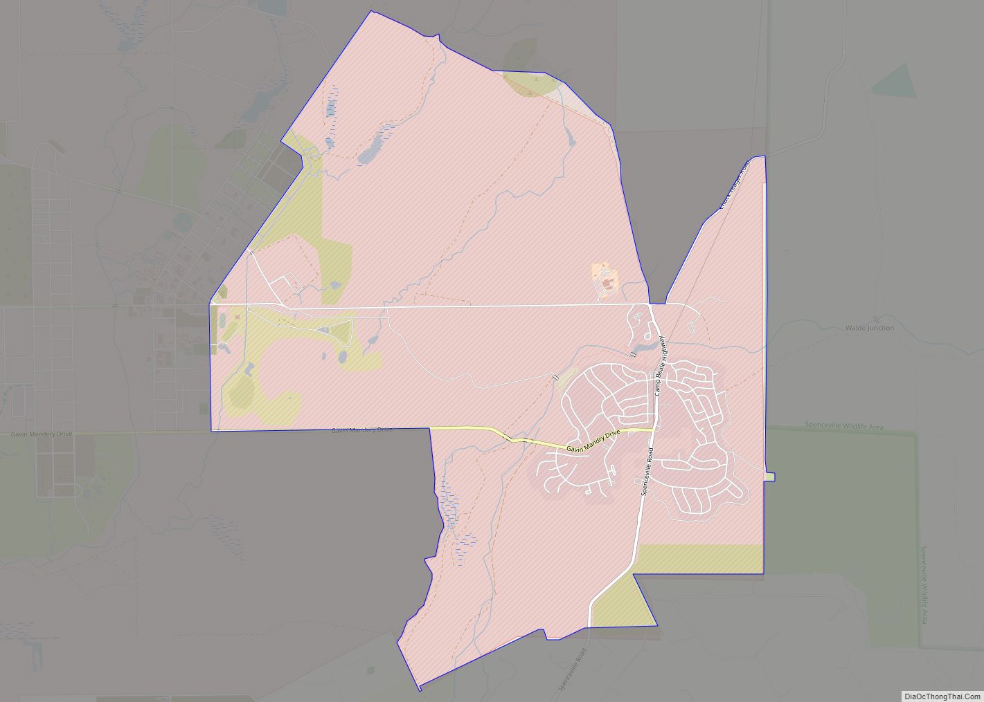
Plumas Lake Road Map
Plumas Lake city Satellite Map
Geography
According to the United States Census Bureau, the CDP covers an area of 8.4 square miles (21.7 km), all of it land.
See also
Map of California State and its subdivision:- Alameda
- Alpine
- Amador
- Butte
- Calaveras
- Colusa
- Contra Costa
- Del Norte
- El Dorado
- Fresno
- Glenn
- Humboldt
- Imperial
- Inyo
- Kern
- Kings
- Lake
- Lassen
- Los Angeles
- Madera
- Marin
- Mariposa
- Mendocino
- Merced
- Modoc
- Mono
- Monterey
- Napa
- Nevada
- Orange
- Placer
- Plumas
- Riverside
- Sacramento
- San Benito
- San Bernardino
- San Diego
- San Francisco
- San Joaquin
- San Luis Obispo
- San Mateo
- Santa Barbara
- Santa Clara
- Santa Cruz
- Shasta
- Sierra
- Siskiyou
- Solano
- Sonoma
- Stanislaus
- Sutter
- Tehama
- Trinity
- Tulare
- Tuolumne
- Ventura
- Yolo
- Yuba
- Alabama
- Alaska
- Arizona
- Arkansas
- California
- Colorado
- Connecticut
- Delaware
- District of Columbia
- Florida
- Georgia
- Hawaii
- Idaho
- Illinois
- Indiana
- Iowa
- Kansas
- Kentucky
- Louisiana
- Maine
- Maryland
- Massachusetts
- Michigan
- Minnesota
- Mississippi
- Missouri
- Montana
- Nebraska
- Nevada
- New Hampshire
- New Jersey
- New Mexico
- New York
- North Carolina
- North Dakota
- Ohio
- Oklahoma
- Oregon
- Pennsylvania
- Rhode Island
- South Carolina
- South Dakota
- Tennessee
- Texas
- Utah
- Vermont
- Virginia
- Washington
- West Virginia
- Wisconsin
- Wyoming
