Point Reyes Station (formerly, Marin and Olema Station) is a small unincorporated town in western Marin County, California, United States. Point Reyes Station is located 13 miles (21 km) south-southeast of Tomales, at an elevation of 39 feet (12 m). Point Reyes Station is located along State Route 1 and is a gateway to the Point Reyes National Seashore, an extremely popular national preserve. The Point Reyes Station census-designated place (CDP) covers the unincorporated town and adjacent development to the north, with a total population of 895 as of the 2020 census.
| Name: | Point Reyes Station CDP |
|---|---|
| LSAD Code: | 57 |
| LSAD Description: | CDP (suffix) |
| State: | California |
| County: | Marin County |
| Elevation: | 39 ft (12 m) |
| Total Area: | 3.616 sq mi (9.364 km²) |
| Land Area: | 3.616 sq mi (9.364 km²) |
| Water Area: | 0 sq mi (0 km²) 0% |
| Total Population: | 895 |
| Population Density: | 250/sq mi (96/km²) |
| ZIP code: | 94956 |
| FIPS code: | 0657960 |
| GNISfeature ID: | 1659413 |
Online Interactive Map
Click on ![]() to view map in "full screen" mode.
to view map in "full screen" mode.
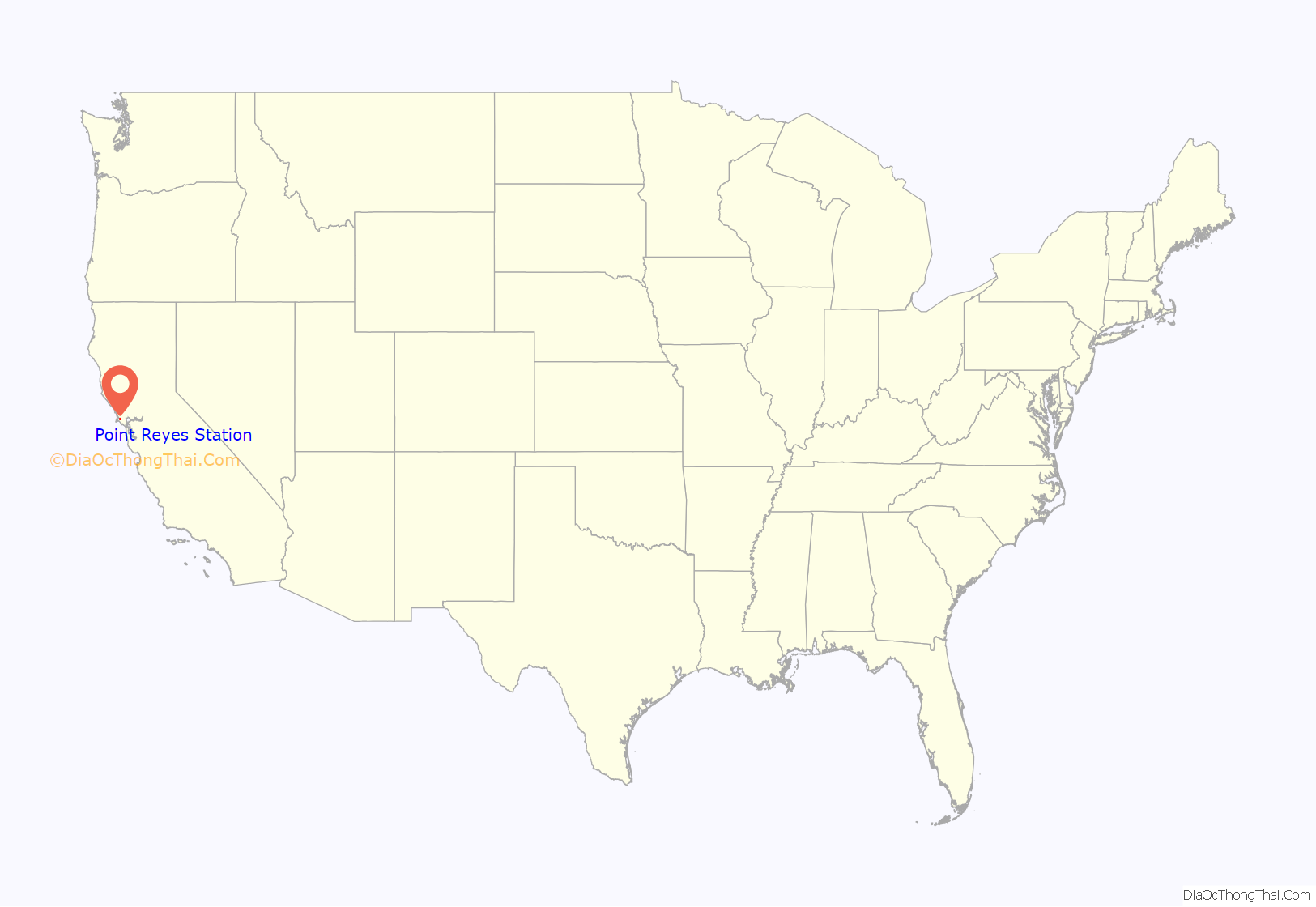
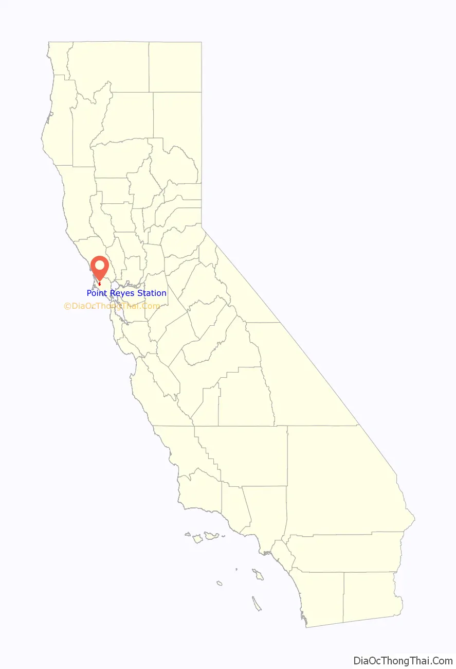
Point Reyes Station location map. Where is Point Reyes Station CDP?
History
Once land of the Coast Miwok Indians, Point Reyes Station gets its name from the nearby Point Reyes Peninsula (a major peninsula sticking out into the Pacific Ocean) and its status as a terminus stop on the North Pacific Coast Railroad connecting Cazadero to the Sausalito ferry.
Point Reyes Station is very close to the San Andreas Fault, which was responsible for the 1906 San Francisco earthquake. At one time, the epicenter of the quake was thought to be near Olema. A walking tour of the fault can be taken from the Point Reyes National Seashore’s Visitor Center.
The place was called “Olema Station” when the railroad arrived in 1875. The Point Reyes post office opened in 1882. Its name changed thrice in 1891: first to Marin, then back to Point Reyes, and finally to the modern Point Reyes Station.
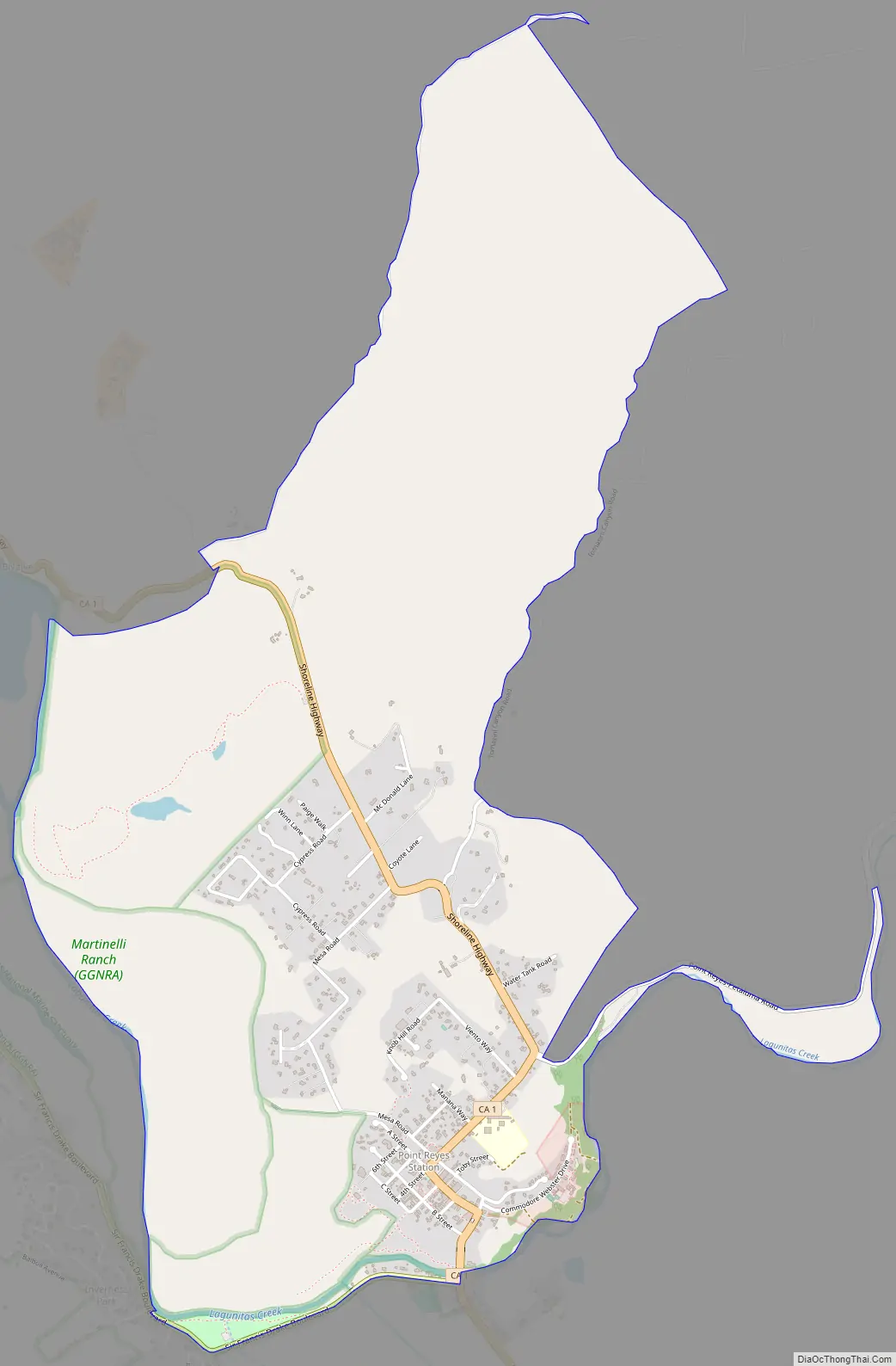
Point Reyes Station Road Map
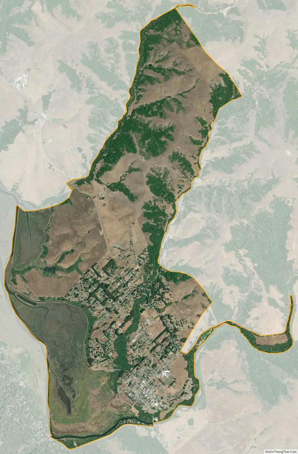
Point Reyes Station city Satellite Map
Geography
Point Reyes Station is located at 38°04′09″N 122°48′25″W / 38.06917°N 122.80694°W / 38.06917; -122.80694, just south and east of the southern end of Tomales Bay, and slightly east of the San Andreas Fault just before the fault submerges down the center of Tomales Bay. Via State Route 1, it is 15 miles (24 km) northwest of Stinson Beach and 17 miles (27 km) southeast of Tomales. San Francisco is 42 miles (68 km) to the southeast via Point Reyes–Petaluma Road, Nicasio Valley Road, and Lucas Valley Road.
Formerly an actual port and railway terminus, Point Reyes Station nominally borders Tomales Bay; the introduction of European cattle and planting of European grass seed on the natural hills caused destructive erosion, and a combination of small dirt dams, silting, and intentional landfill for farming raised the level of former salt marshes and has left Point Reyes Station approximately 0.8-mile (1.3 km) from the nearest tidal flats, and that after expenditure of millions of dollars and recent efforts for reclamation of the natural environment.
The CDP has a total area of 3.62 square miles (9.38 km), all land.
See also
Map of California State and its subdivision:- Alameda
- Alpine
- Amador
- Butte
- Calaveras
- Colusa
- Contra Costa
- Del Norte
- El Dorado
- Fresno
- Glenn
- Humboldt
- Imperial
- Inyo
- Kern
- Kings
- Lake
- Lassen
- Los Angeles
- Madera
- Marin
- Mariposa
- Mendocino
- Merced
- Modoc
- Mono
- Monterey
- Napa
- Nevada
- Orange
- Placer
- Plumas
- Riverside
- Sacramento
- San Benito
- San Bernardino
- San Diego
- San Francisco
- San Joaquin
- San Luis Obispo
- San Mateo
- Santa Barbara
- Santa Clara
- Santa Cruz
- Shasta
- Sierra
- Siskiyou
- Solano
- Sonoma
- Stanislaus
- Sutter
- Tehama
- Trinity
- Tulare
- Tuolumne
- Ventura
- Yolo
- Yuba
- Alabama
- Alaska
- Arizona
- Arkansas
- California
- Colorado
- Connecticut
- Delaware
- District of Columbia
- Florida
- Georgia
- Hawaii
- Idaho
- Illinois
- Indiana
- Iowa
- Kansas
- Kentucky
- Louisiana
- Maine
- Maryland
- Massachusetts
- Michigan
- Minnesota
- Mississippi
- Missouri
- Montana
- Nebraska
- Nevada
- New Hampshire
- New Jersey
- New Mexico
- New York
- North Carolina
- North Dakota
- Ohio
- Oklahoma
- Oregon
- Pennsylvania
- Rhode Island
- South Carolina
- South Dakota
- Tennessee
- Texas
- Utah
- Vermont
- Virginia
- Washington
- West Virginia
- Wisconsin
- Wyoming


