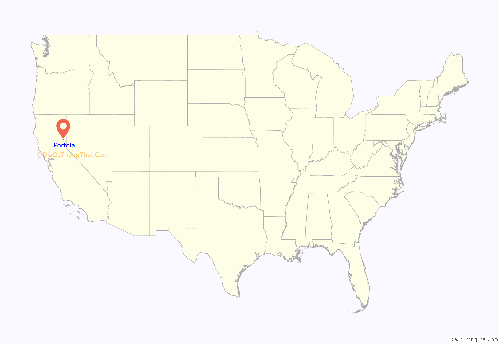
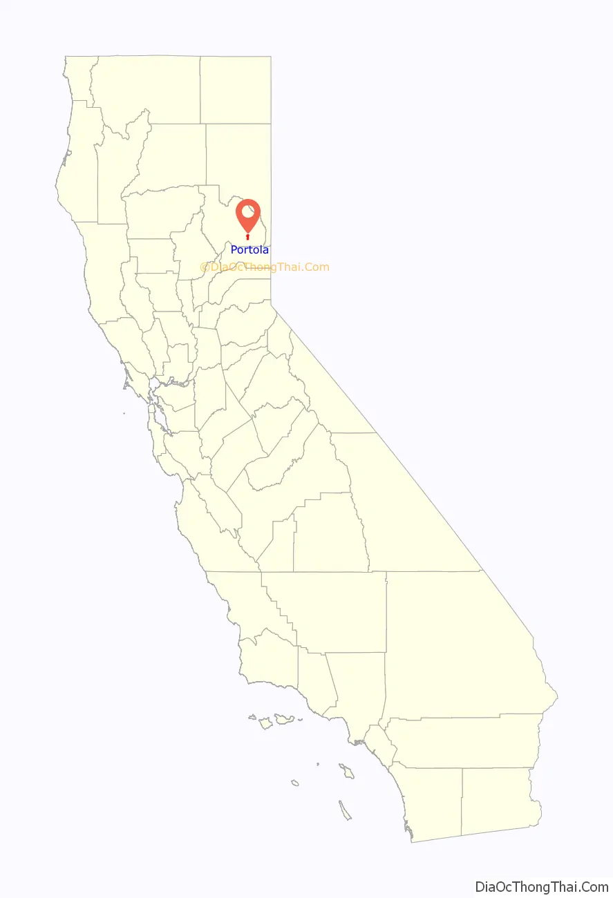
Portola (/pɔːrˈtoʊlə/ por-TOH-lə) is the only incorporated city in Plumas County, California, United States. The population was 2,104 at the 2010 census, down from 2,227 at the 2000 census. Portola is located on the Middle Fork of the Feather River and was named after Spanish explorer Gaspar de Portolá, although he did not explore this area.
Portola is a crew change site on the Western Pacific Railroad (now Union Pacific Railroad) Feather River Route over the Sierra Nevada. The city is also home to the Western Pacific Railroad Museum (formerly Portola Railroad Museum), one of the largest railroad museums in the Western United States. The museum is famous for its Run A Locomotive program, where the public can participate in a “fantasy experience” program allowing them to run a railroad locomotive on the museum grounds.
Portola was in the national media spotlight in 1996–1997 when a conflict occurred between the local community and the Department of Fish and Game over how to deal with an invasive species of northern pike in Lake Davis. The lake was chemically treated in 1997 to eradicate the fish, but they reappeared in 1999. In early September 2007, the California Department of Fish and Game eradicated the pike using CFT Legumine, a new liquid formulation of rotenone.
| Name: | Portola city |
|---|---|
| LSAD Code: | 25 |
| LSAD Description: | city (suffix) |
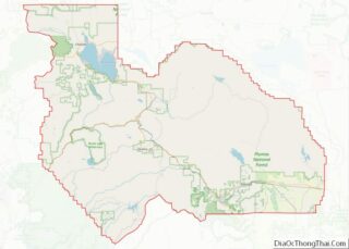
| State: | California |
| County: | Plumas County |
| Incorporated: | May 16, 1946 |
| Elevation: | 4,856 ft (1,480 m) |
| Total Area: | 5.41 sq mi (14.00 km²) |
| Land Area: | 5.41 sq mi (14.00 km²) |
| Water Area: | 0.00 sq mi (0.00 km²) 0% |
| Total Population: | 2,104 |
| Population Density: | 356.94/sq mi (137.82/km²) |
| ZIP code: | 96122, 96129 |
| Area code: | 530 |
| FIPS code: | 0658352 |
| Website: | www.ci.portola.ca.us |
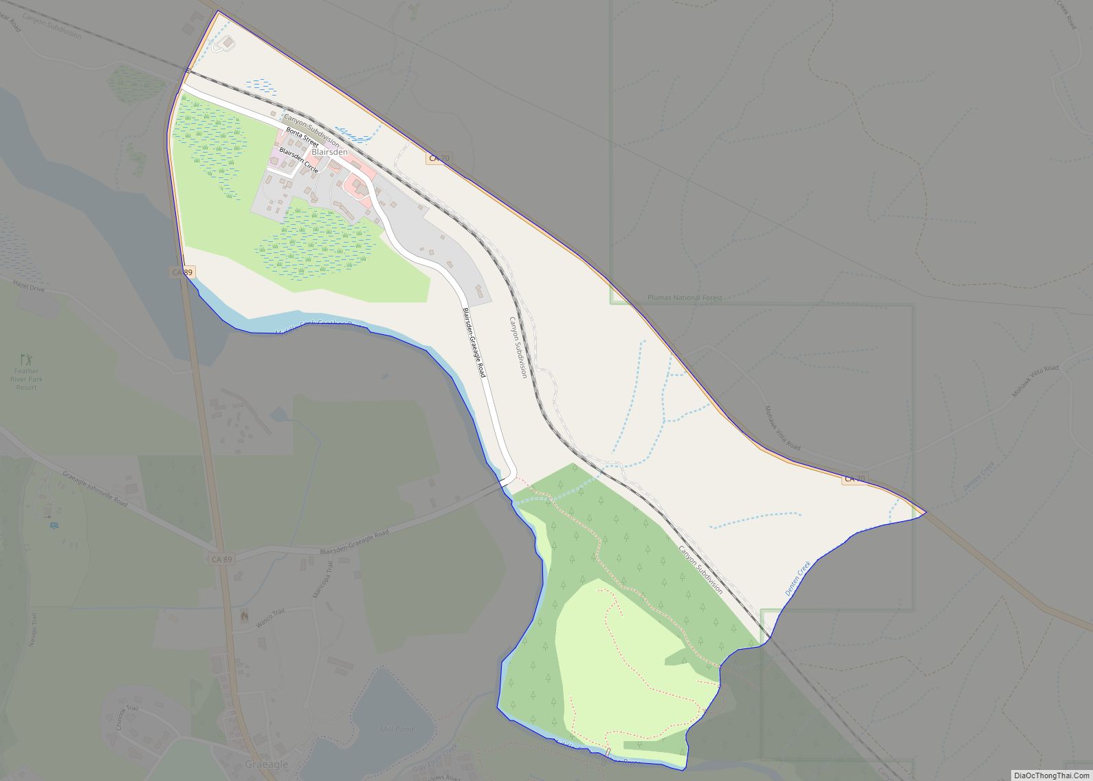
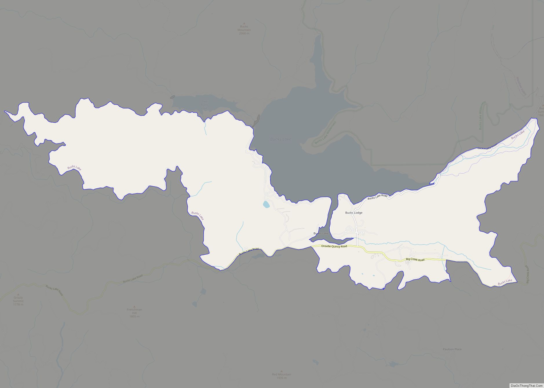
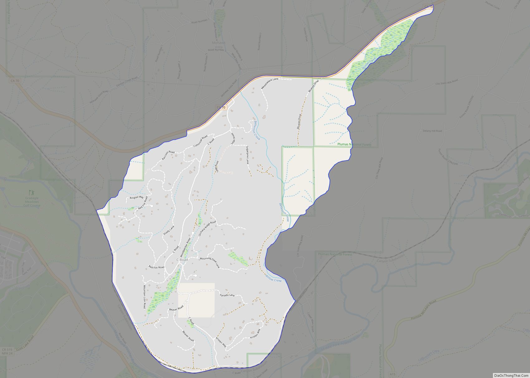
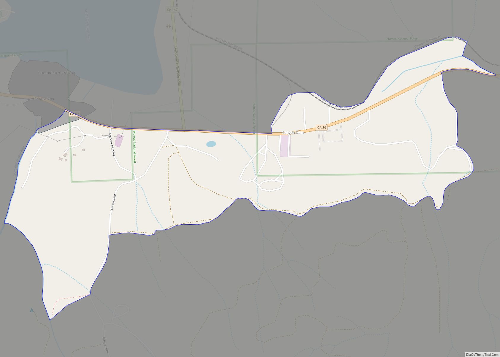
Online Interactive Map
Click on ![]() to view map in "full screen" mode.
to view map in "full screen" mode.
Portola location map. Where is Portola city?
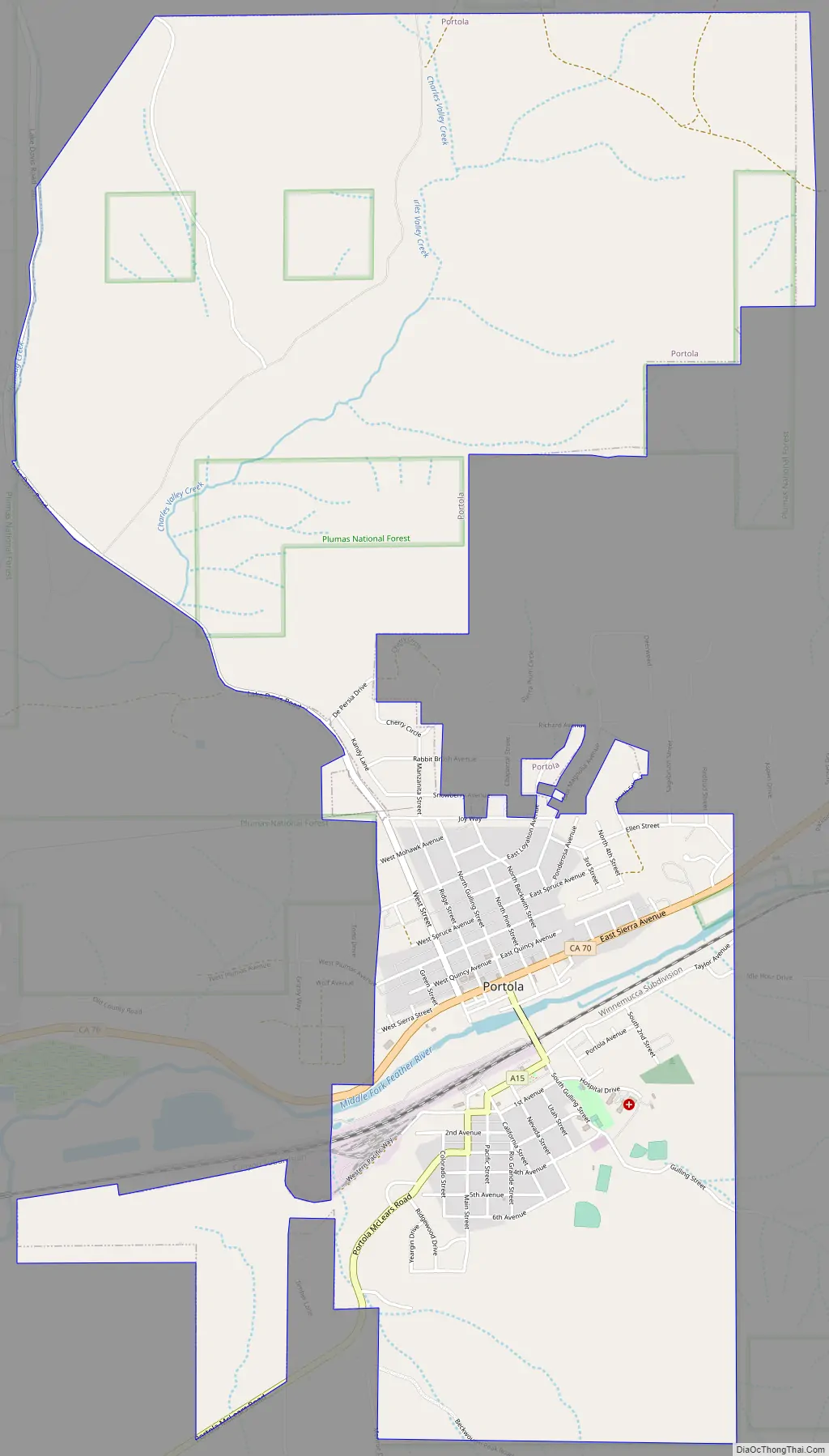
Portola Road Map
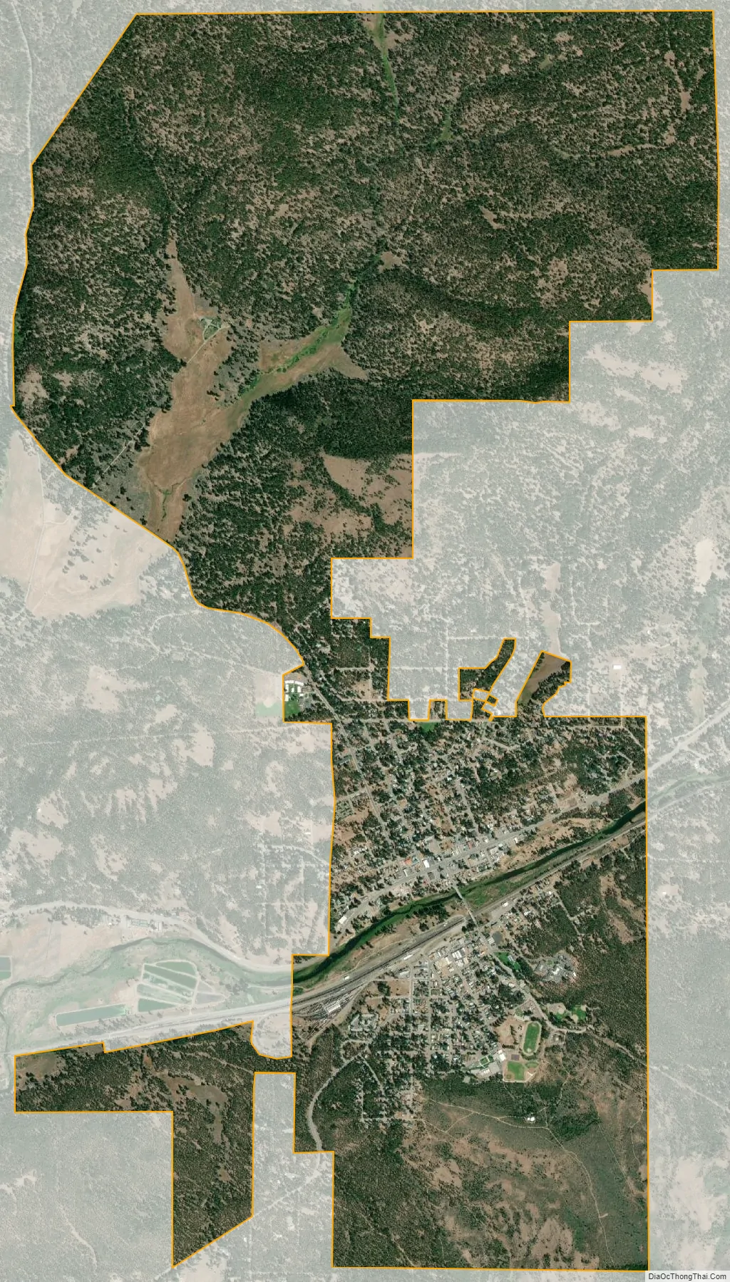
Portola city Satellite Map
Geography
Portola is located at 39°48′37″N 120°28′11″W / 39.810151°N 120.469843°W / 39.810151; -120.469843.
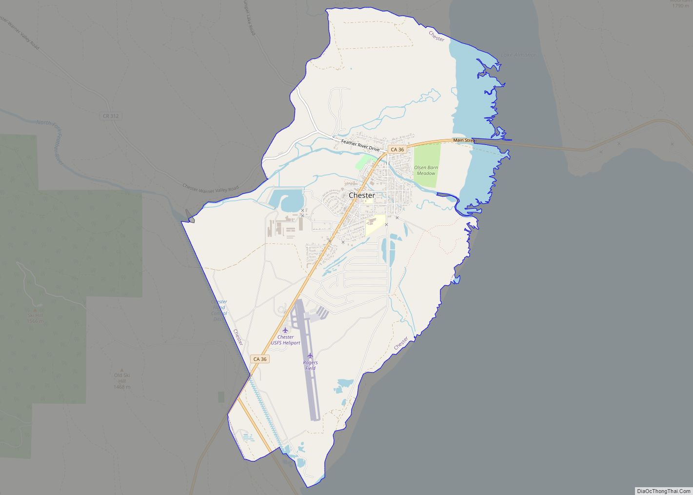
According to the United States Census Bureau, the city has a total area of 5.4 square miles (14 km), all of it land.
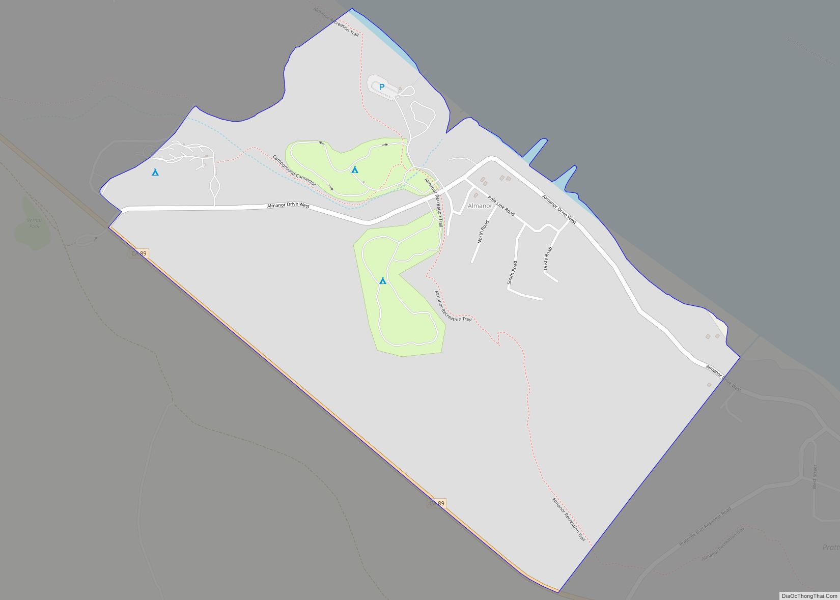
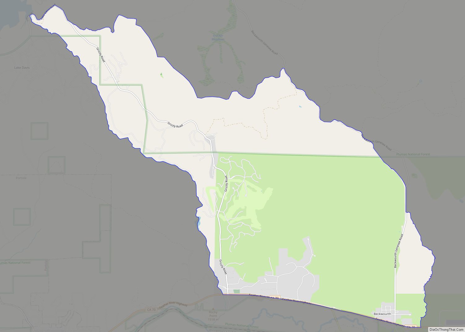
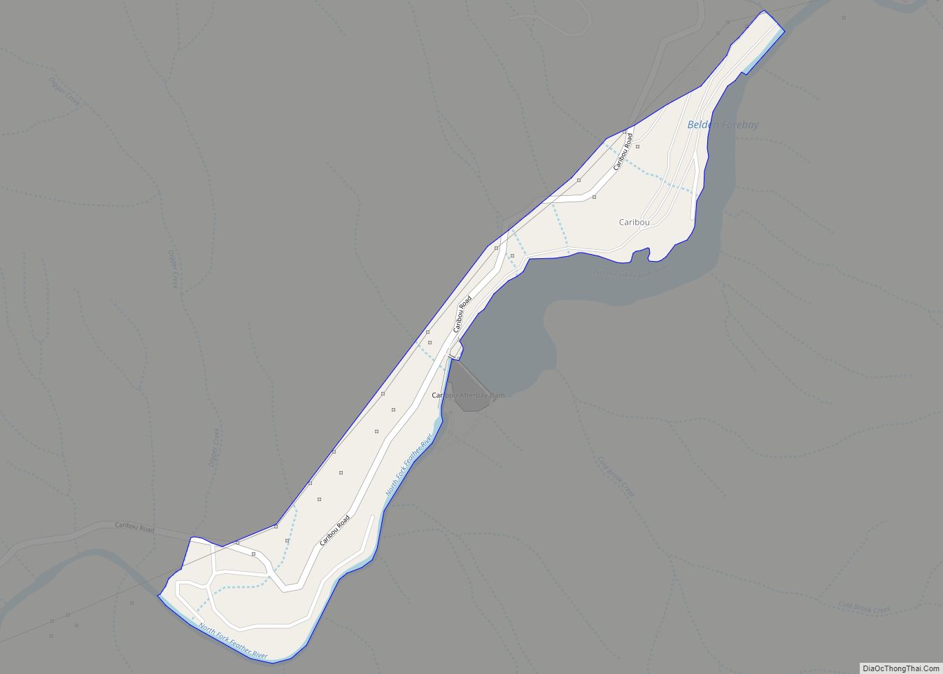
Portola lies on the Middle Fork of the Feather River in the Sierra Nevada mountain range. The headwaters of the Middle Fork of the Feather River originate just east of Portola in Sierra Valley, near Beckwourth.
Lake Davis is located approximately 6 miles (9.7 km) north of Portola, and is a popular fishing and camping location. About 15 miles (24 km) to the west and southwest of Portola, Plumas-Eureka State Park and Lakes Basin Recreation Area feature granite peaks, glacial lakes, streams, and temperate coniferous forests, which make them popular destinations for outdoor enthusiasts.
Being on the eastern slopes of the Sierra Nevada, Portola has a continental Mediterranean climate (Köppen: Dsb) with dry summers characterized by extreme diurnal temperature swings, and cold (though not severe) and snowy winters. Frosts occur on 218 mornings per year. Extreme cold is rare and temperatures below 0 °F (−17.8 °C) are observed on only 2.6 mornings per winter in an average year. During the summer, daytime temperatures of 100 °F (37.8 °C) are reached on average only once every two years.
See also
Map of California State and its subdivision:- Alameda
- Alpine
- Amador
- Butte
- Calaveras
- Colusa
- Contra Costa
- Del Norte
- El Dorado
- Fresno
- Glenn
- Humboldt
- Imperial
- Inyo
- Kern
- Kings
- Lake
- Lassen
- Los Angeles
- Madera
- Marin
- Mariposa
- Mendocino
- Merced
- Modoc
- Mono
- Monterey
- Napa
- Nevada
- Orange
- Placer
- Plumas
- Riverside
- Sacramento
- San Benito
- San Bernardino
- San Diego
- San Francisco
- San Joaquin
- San Luis Obispo
- San Mateo
- Santa Barbara
- Santa Clara
- Santa Cruz
- Shasta
- Sierra
- Siskiyou
- Solano
- Sonoma
- Stanislaus
- Sutter
- Tehama
- Trinity
- Tulare
- Tuolumne
- Ventura
- Yolo
- Yuba
- Alabama
- Alaska
- Arizona
- Arkansas
- California
- Colorado
- Connecticut
- Delaware
- District of Columbia
- Florida
- Georgia
- Hawaii
- Idaho
- Illinois
- Indiana
- Iowa
- Kansas
- Kentucky
- Louisiana
- Maine
- Maryland
- Massachusetts
- Michigan
- Minnesota
- Mississippi
- Missouri
- Montana
- Nebraska
- Nevada
- New Hampshire
- New Jersey
- New Mexico
- New York
- North Carolina
- North Dakota
- Ohio
- Oklahoma
- Oregon
- Pennsylvania
- Rhode Island
- South Carolina
- South Dakota
- Tennessee
- Texas
- Utah
- Vermont
- Virginia
- Washington
- West Virginia
- Wisconsin
- Wyoming