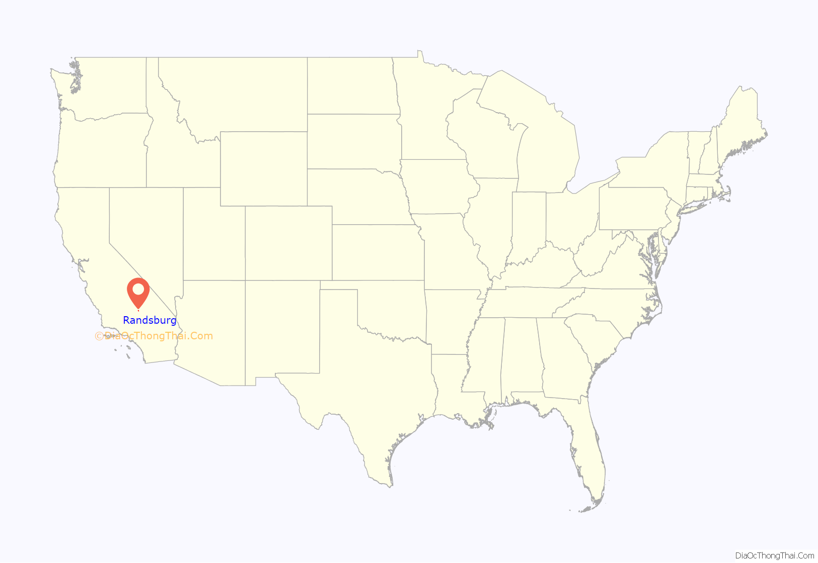
Randsburg (formerly Rand Camp) is a census-designated place (CDP) in Kern County, California, United States. Randsburg is located 17 miles (27 km) south of Ridgecrest, at an elevation of 3,504 feet (1,068 m). The population was 69 in the 2010 census, down from 77 in the 2000 census.
| Name: | Randsburg CDP |
|---|---|
| LSAD Code: | 57 |
| LSAD Description: | CDP (suffix) |
| State: | California |
| County: | Kern County |
| Elevation: | 3,504 ft (1,068 m) |
| Total Area: | 1.945 sq mi (5.038 km²) |
| Land Area: | 1.906 sq mi (4.937 km²) |
| Water Area: | 0.039 sq mi (0.101 km²) 2% |
| Total Population: | 69 |
| Population Density: | 35/sq mi (14/km²) |
| ZIP code: | 93554 |
| FIPS code: | 0659668 |
| GNISfeature ID: | 1661284 |
Online Interactive Map
Click on ![]() to view map in "full screen" mode.
to view map in "full screen" mode.
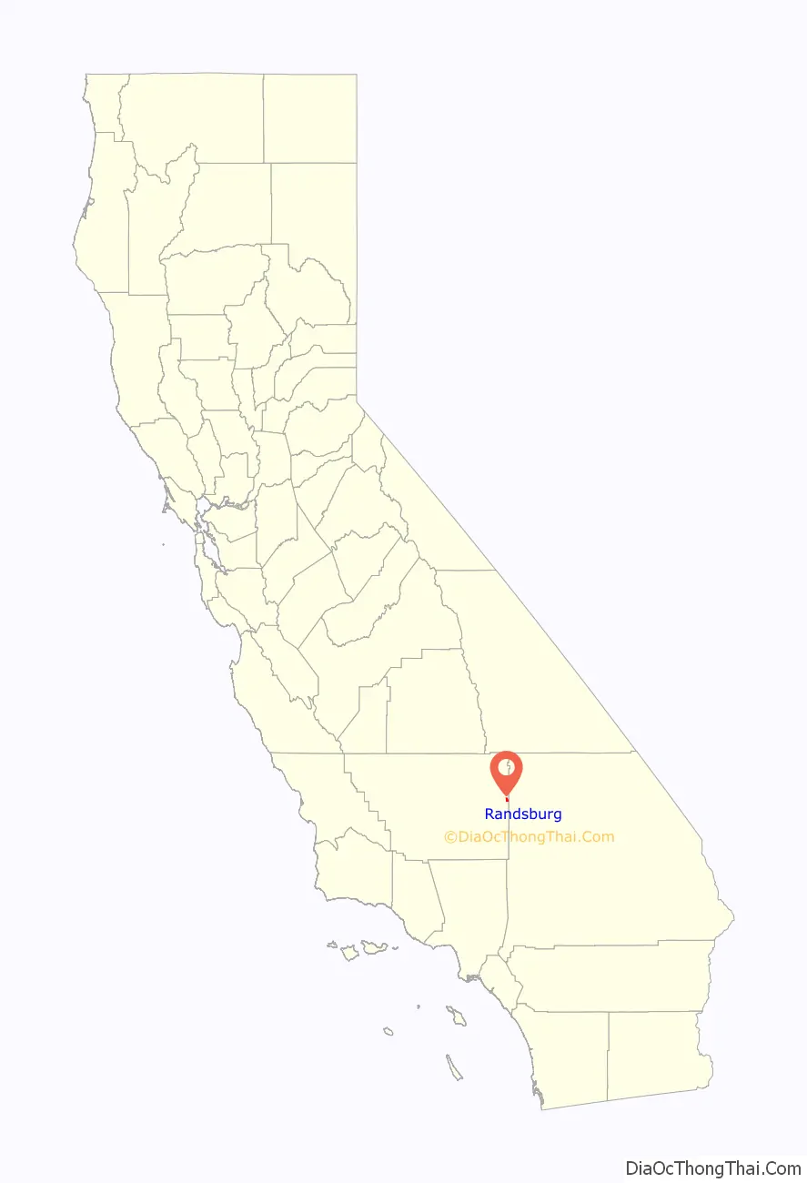
Randsburg location map. Where is Randsburg CDP?
History
Gold was discovered at Yellow Aster Mine in 1895 and a mining camp quickly formed named Rand Camp. Both mine and camp were named after the gold mining region in South Africa. The first post office at Randsburg opened in 1896.
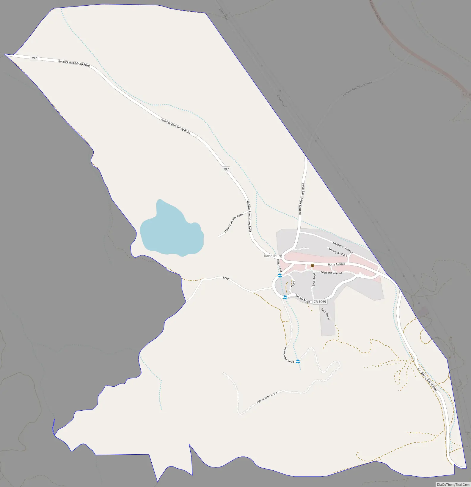
Randsburg Road Map
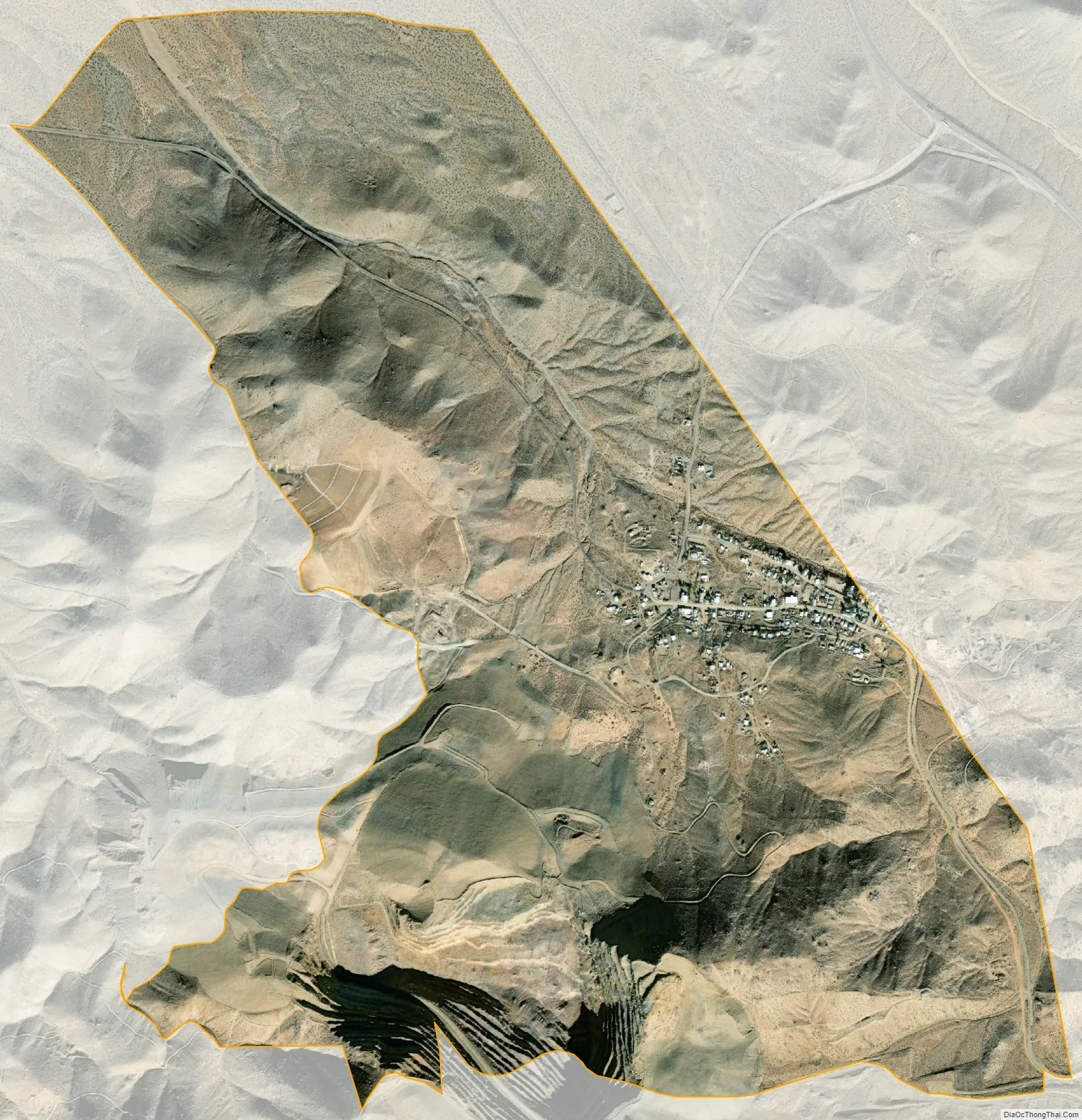
Randsburg city Satellite Map
Geography
Randsburg is located at 35°22′07″N 117°39′29″W / 35.36861°N 117.65806°W / 35.36861; -117.65806. It is on the west side of U.S. Route 395 between Kramer Junction to the south and Ridgecrest to the north. Randsburg is in the Rand Mountains, and is separated by a ridge from the neighboring community of Johannesburg.
According to the United States Census Bureau, the CDP has a total area of 1.945 square miles (5.038 km), over 99% of it land.
See also
Map of California State and its subdivision:- Alameda
- Alpine
- Amador
- Butte
- Calaveras
- Colusa
- Contra Costa
- Del Norte
- El Dorado
- Fresno
- Glenn
- Humboldt
- Imperial
- Inyo
- Kern
- Kings
- Lake
- Lassen
- Los Angeles
- Madera
- Marin
- Mariposa
- Mendocino
- Merced
- Modoc
- Mono
- Monterey
- Napa
- Nevada
- Orange
- Placer
- Plumas
- Riverside
- Sacramento
- San Benito
- San Bernardino
- San Diego
- San Francisco
- San Joaquin
- San Luis Obispo
- San Mateo
- Santa Barbara
- Santa Clara
- Santa Cruz
- Shasta
- Sierra
- Siskiyou
- Solano
- Sonoma
- Stanislaus
- Sutter
- Tehama
- Trinity
- Tulare
- Tuolumne
- Ventura
- Yolo
- Yuba
- Alabama
- Alaska
- Arizona
- Arkansas
- California
- Colorado
- Connecticut
- Delaware
- District of Columbia
- Florida
- Georgia
- Hawaii
- Idaho
- Illinois
- Indiana
- Iowa
- Kansas
- Kentucky
- Louisiana
- Maine
- Maryland
- Massachusetts
- Michigan
- Minnesota
- Mississippi
- Missouri
- Montana
- Nebraska
- Nevada
- New Hampshire
- New Jersey
- New Mexico
- New York
- North Carolina
- North Dakota
- Ohio
- Oklahoma
- Oregon
- Pennsylvania
- Rhode Island
- South Carolina
- South Dakota
- Tennessee
- Texas
- Utah
- Vermont
- Virginia
- Washington
- West Virginia
- Wisconsin
- Wyoming


