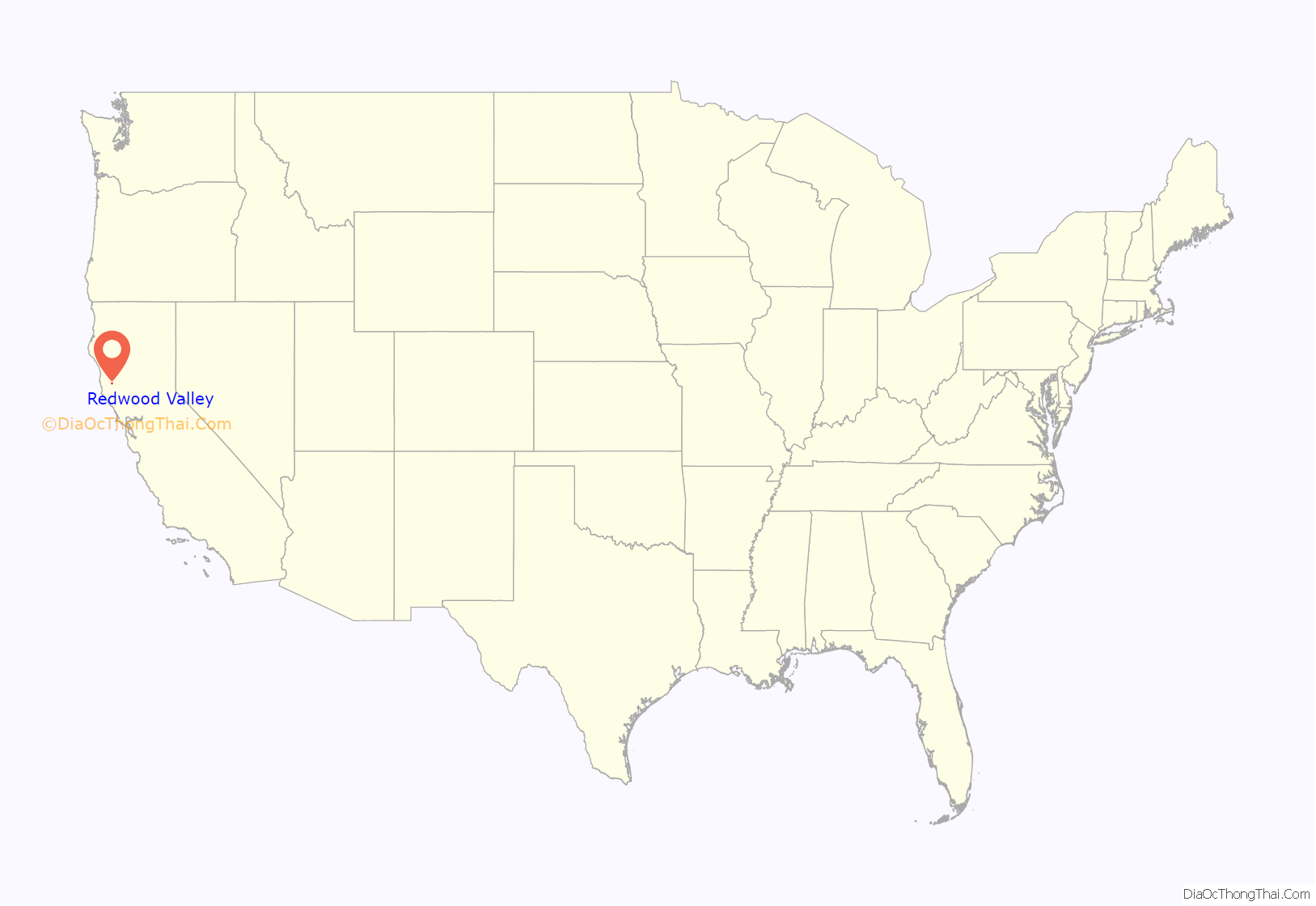
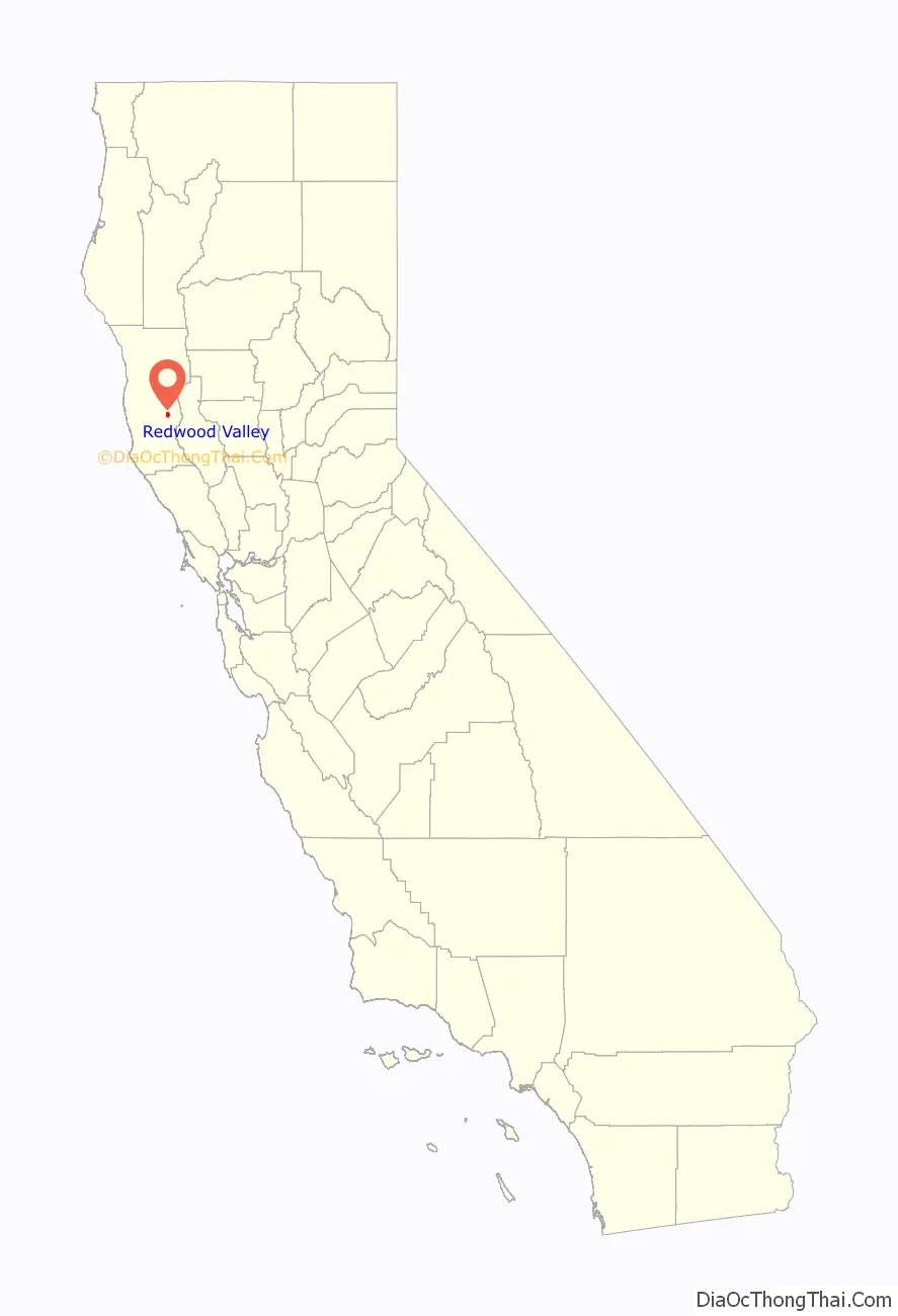
Redwood Valley (formerly Basil) is a census-designated place (CDP) in Mendocino County, California, United States. It is located 9 miles (14 km) north of Ukiah, the county seat, at an elevation of 722 feet (220 m), and comprises the northern portion of the Ukiah Valley. It is about 15 miles (24 km) southeast of Willits. Potter Valley is to the east and Calpella to the south. The ZIP Code is 95470, and the community is in area code 707. The population of the CDP was 1,843 at the 2020 census.
| Name: | Redwood Valley CDP |
|---|---|
| LSAD Code: | 57 |
| LSAD Description: | CDP (suffix) |
| State: | California |
| County: | Mendocino County |
| Elevation: | 722 ft (220 m) |
| Total Area: | 2.758 sq mi (7.14 km²) |
| Land Area: | 2.746 sq mi (7.11 km²) |
| Water Area: | 0.012 sq mi (0.03 km²) 0.44% |
| Total Population: | 1,843 |
| Population Density: | 1,738/sq mi (671.2/km²) |
| ZIP code: | 95470 |
| Area code: | 707 |
| FIPS code: | 0660214 |
| GNISfeature ID: | 231454; 2628782 |
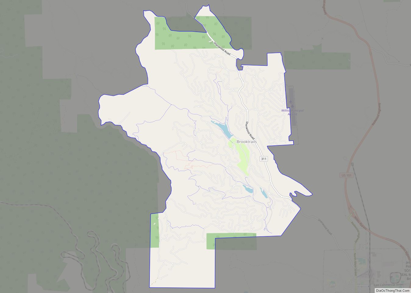
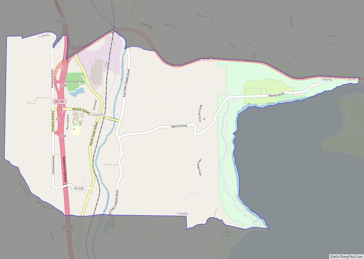
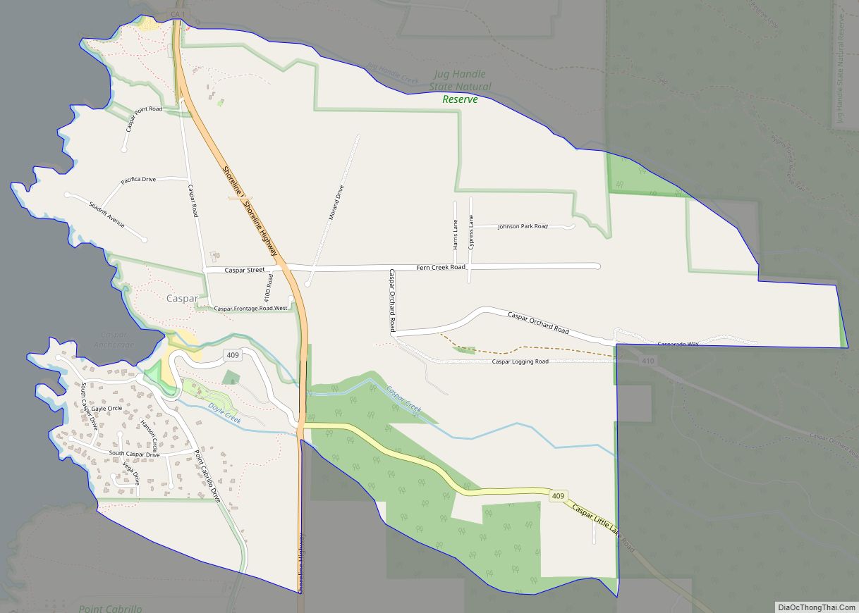
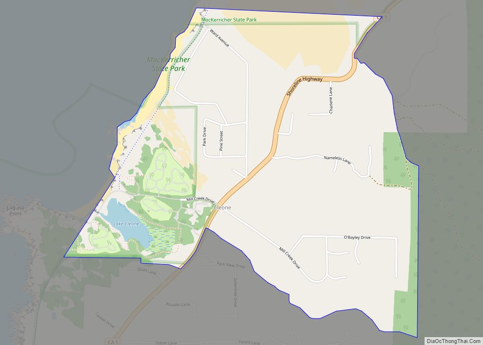
Online Interactive Map
Click on ![]() to view map in "full screen" mode.
to view map in "full screen" mode.
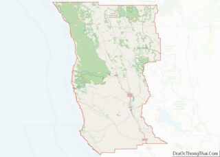
Redwood Valley location map. Where is Redwood Valley CDP?
History
The place was called “Basil” by the railroad when it reached there; when the post office opened in 1920, the place was called “Redwood Valley”.
Jim Jones’ Peoples Temple was located in Redwood Valley for a short time. The site was chosen because Jones believed that it was one of the few places in the world likely to survive a nuclear holocaust.
Redwood Valley was one of the areas where Black Bart operated.
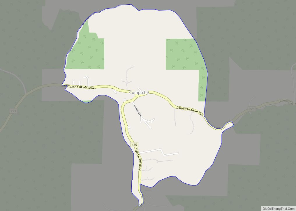
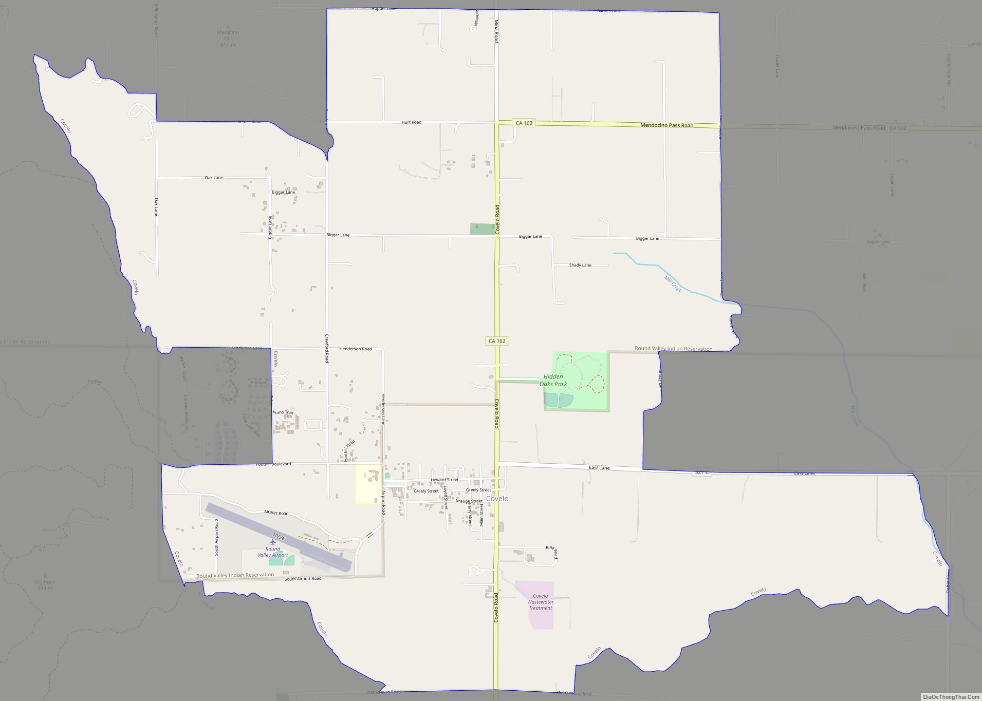
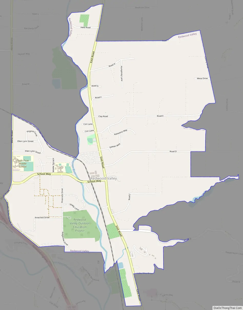
Redwood Valley Road Map
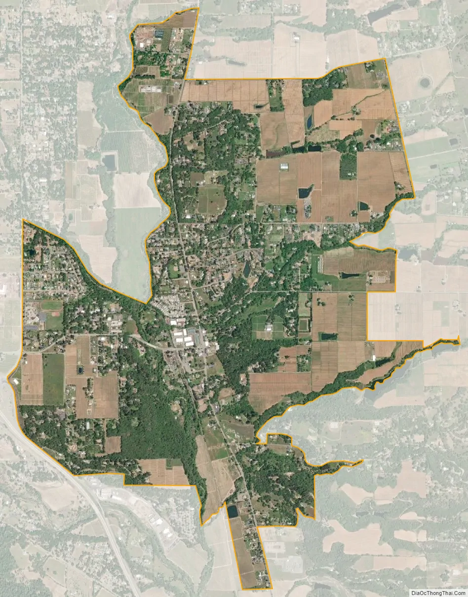
Redwood Valley city Satellite Map
Geography
Redwood Valley is in eastern Mendocino County, at the headwaters of the West Fork of the Russian River. According to the United States Census Bureau, the CDP covers an area of 2.7 square miles (7.0 km), 99.56% of it land and 0.44% of it water.
See also
Map of California State and its subdivision:- Alameda
- Alpine
- Amador
- Butte
- Calaveras
- Colusa
- Contra Costa
- Del Norte
- El Dorado
- Fresno
- Glenn
- Humboldt
- Imperial
- Inyo
- Kern
- Kings
- Lake
- Lassen
- Los Angeles
- Madera
- Marin
- Mariposa
- Mendocino
- Merced
- Modoc
- Mono
- Monterey
- Napa
- Nevada
- Orange
- Placer
- Plumas
- Riverside
- Sacramento
- San Benito
- San Bernardino
- San Diego
- San Francisco
- San Joaquin
- San Luis Obispo
- San Mateo
- Santa Barbara
- Santa Clara
- Santa Cruz
- Shasta
- Sierra
- Siskiyou
- Solano
- Sonoma
- Stanislaus
- Sutter
- Tehama
- Trinity
- Tulare
- Tuolumne
- Ventura
- Yolo
- Yuba
- Alabama
- Alaska
- Arizona
- Arkansas
- California
- Colorado
- Connecticut
- Delaware
- District of Columbia
- Florida
- Georgia
- Hawaii
- Idaho
- Illinois
- Indiana
- Iowa
- Kansas
- Kentucky
- Louisiana
- Maine
- Maryland
- Massachusetts
- Michigan
- Minnesota
- Mississippi
- Missouri
- Montana
- Nebraska
- Nevada
- New Hampshire
- New Jersey
- New Mexico
- New York
- North Carolina
- North Dakota
- Ohio
- Oklahoma
- Oregon
- Pennsylvania
- Rhode Island
- South Carolina
- South Dakota
- Tennessee
- Texas
- Utah
- Vermont
- Virginia
- Washington
- West Virginia
- Wisconsin
- Wyoming