Reedley is a city in Fresno County, California, United States. It is located in the San Joaquin Valley, 22 miles (35 km) east-southeast of Fresno, at an elevation of 348 feet (106 m). The population at the 2010 census was 24,194. Its chief economic source is agriculture, particularly fruit and vegetable cultivation and has thus dubbed itself “The World’s Fruit Basket”. Reedley is situated along the Kings River, downstream from Centerville.
Reedley hosts several cultural festivals, including but not limited to the Reedley Fiesta, and the Electrical Farm Equipment Parade.
Reedley is named for Thomas Law Reed, a Civil War veteran who gave half of his holdings to the township in 1888.
| Name: | Reedley city |
|---|---|
| LSAD Code: | 25 |
| LSAD Description: | city (suffix) |
| State: | California |
| County: | Fresno County |
| Incorporated: | February 18, 1913 |
| Elevation: | 348 ft (106 m) |
| Total Area: | 5.49 sq mi (14.21 km²) |
| Land Area: | 5.41 sq mi (14.02 km²) |
| Water Area: | 0.07 sq mi (0.19 km²) 1.39% |
| Total Population: | 24,194 |
| Population Density: | 4,725.16/sq mi (1,824.34/km²) |
| ZIP code: | 93654 |
| Area code: | 559 |
| FIPS code: | 0660242 |
| Website: | www.reedley.ca.gov |
Online Interactive Map
Click on ![]() to view map in "full screen" mode.
to view map in "full screen" mode.
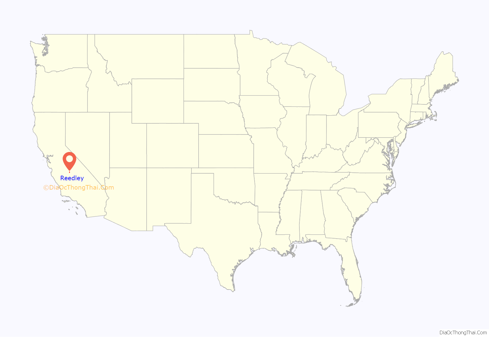
Reedley location map. Where is Reedley city?
History
In the mid-1800s, American Civil War Union veteran Thomas Law Reed settled in Reedley to grow wheat for Gold Rush miners. His donation of land for a railroad station site established the town as the center of the San Joaquin Valley’s booming wheat industry. Southern Pacific Railroad officials commemorated his donation by naming the depot in his honor, which the city itself then adopted.
When gold mining fever began to fade, wheat demand slackened. Water from the Kings River was diverted for crop irrigation, and the region’s agriculture diversified to include fruits, including grapes, figs, and peaches.
With the establishment of water and railroad services, farming families of European immigrants were recruited, and the settlement was incorporated in 1913, with Ordinance No. 1 adopting and prescribing the style of a Common Seal on February 25, 1913. That same year, the city’s first cement sidewalks, sewer system, and fire department, as well as the first of two steel water towers were constructed. Because of proximity, the Reedley post office provided rural mail delivery to the surrounding region, including Route 2 which covered a section of nearby Tulare County (about 5 miles west of Dinuba).
A colony of German American Mennonites, who travelled to California to escape the ecological disaster of the Dust Bowl played an important role in the town’s early history, settling in Township 8, an area now known as Navelencia. Reedley contains a community of 25 different Christian churches, including Anglican, Catholic, Armenian, Baptist, and Mennonite congregations. The town is also home to a Buddhist temple. The city’s cultural influences include Filipino, Finnish, Lebanese and Japanese immigrants. Since the 1940s, Reedley has seen a large increase in its Hispanic and Latino immigrant population, who have come to represent the majority of Reedley’s ethnic makeup.
In 1988, Reedley celebrated the first 100 years since the construction of its Southern Pacific depot, and the 75th anniversary of incorporation. In 2013, the city celebrated its centennial.
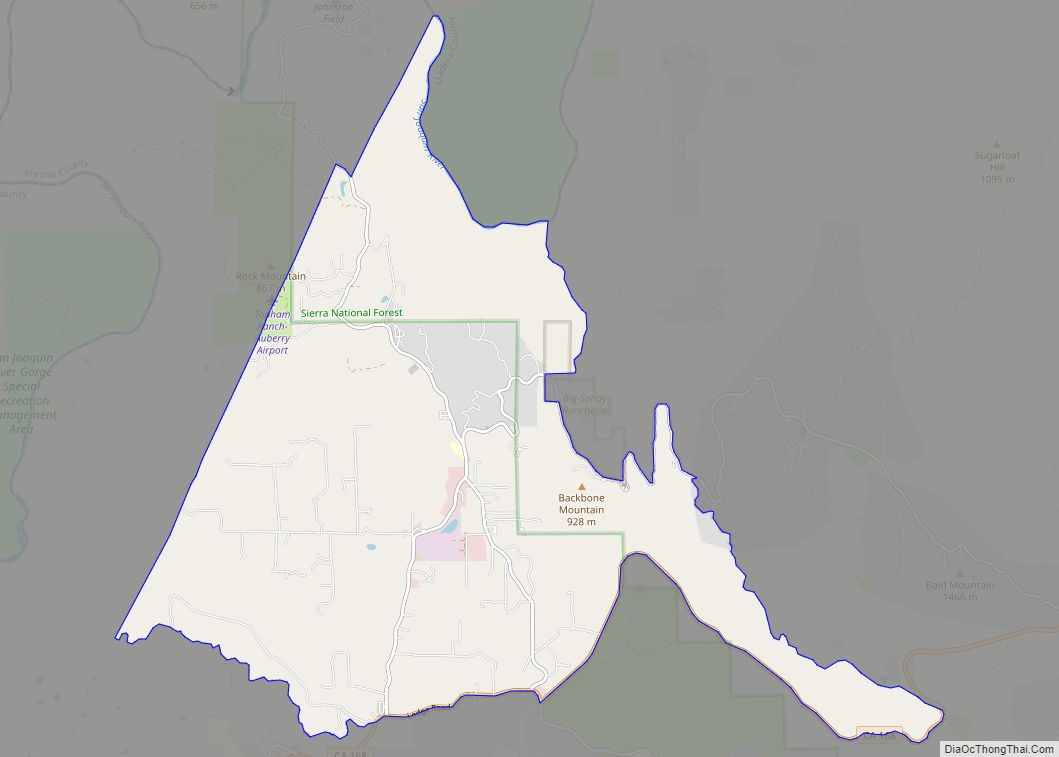
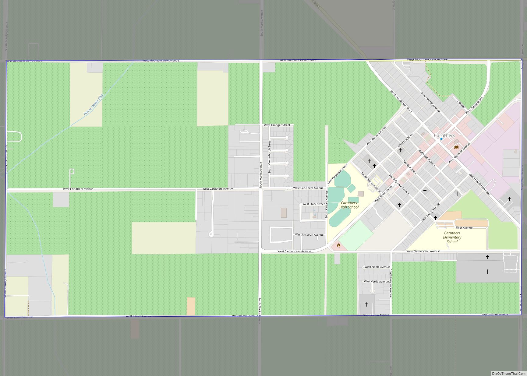
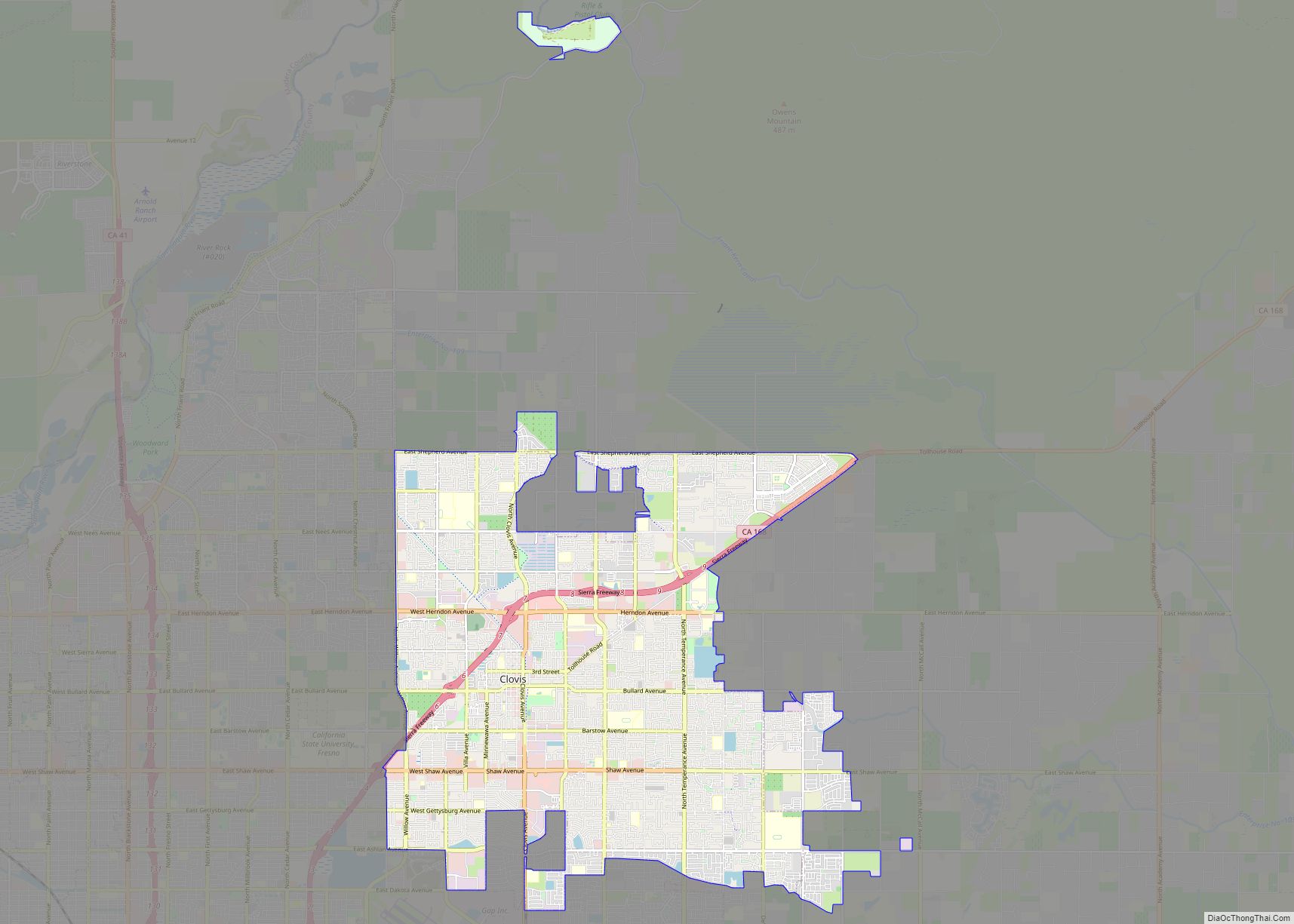
Reedley Road Map
Reedley city Satellite Map
Geography
According to the United States Census Bureau, the city has a total area of 5.2 square miles (13 km), of which, 5.1 square miles (13 km) of it is land and 0.1 square miles (0.26 km) of it (1.39%) is water.
See also
Map of California State and its subdivision:- Alameda
- Alpine
- Amador
- Butte
- Calaveras
- Colusa
- Contra Costa
- Del Norte
- El Dorado
- Fresno
- Glenn
- Humboldt
- Imperial
- Inyo
- Kern
- Kings
- Lake
- Lassen
- Los Angeles
- Madera
- Marin
- Mariposa
- Mendocino
- Merced
- Modoc
- Mono
- Monterey
- Napa
- Nevada
- Orange
- Placer
- Plumas
- Riverside
- Sacramento
- San Benito
- San Bernardino
- San Diego
- San Francisco
- San Joaquin
- San Luis Obispo
- San Mateo
- Santa Barbara
- Santa Clara
- Santa Cruz
- Shasta
- Sierra
- Siskiyou
- Solano
- Sonoma
- Stanislaus
- Sutter
- Tehama
- Trinity
- Tulare
- Tuolumne
- Ventura
- Yolo
- Yuba
- Alabama
- Alaska
- Arizona
- Arkansas
- California
- Colorado
- Connecticut
- Delaware
- District of Columbia
- Florida
- Georgia
- Hawaii
- Idaho
- Illinois
- Indiana
- Iowa
- Kansas
- Kentucky
- Louisiana
- Maine
- Maryland
- Massachusetts
- Michigan
- Minnesota
- Mississippi
- Missouri
- Montana
- Nebraska
- Nevada
- New Hampshire
- New Jersey
- New Mexico
- New York
- North Carolina
- North Dakota
- Ohio
- Oklahoma
- Oregon
- Pennsylvania
- Rhode Island
- South Carolina
- South Dakota
- Tennessee
- Texas
- Utah
- Vermont
- Virginia
- Washington
- West Virginia
- Wisconsin
- Wyoming
