Rolling Hills Estates is a city in Los Angeles County, California, United States. On the northern side of the Palos Verdes Peninsula, facing Torrance, Rolling Hills Estates is mostly residential. Incorporated in 1957, Rolling Hills Estates has many horse paths. The population was 8,067 at the 2010 census, up from 7,676 at the 2000 census. In 2018, the population rose to 8,141.
| Name: | Rolling Hills Estates city |
|---|---|
| LSAD Code: | 25 |
| LSAD Description: | city (suffix) |
| State: | California |
| County: | Los Angeles County |
| Incorporated: | September 18, 1957 |
| Elevation: | 469 ft (143 m) |
| Total Area: | 3.63 sq mi (9.41 km²) |
| Land Area: | 3.60 sq mi (9.32 km²) |
| Water Area: | 0.04 sq mi (0.09 km²) 1.22% |
| Total Population: | 8,067 |
| Population Density: | 2,239.58/sq mi (864.78/km²) |
| ZIP code: | 90274, 90275 |
| Area code: | 310 |
| FIPS code: | 0662644 |
| Website: | www.ci.rolling-hills-estates.ca.us |
Online Interactive Map
Click on ![]() to view map in "full screen" mode.
to view map in "full screen" mode.
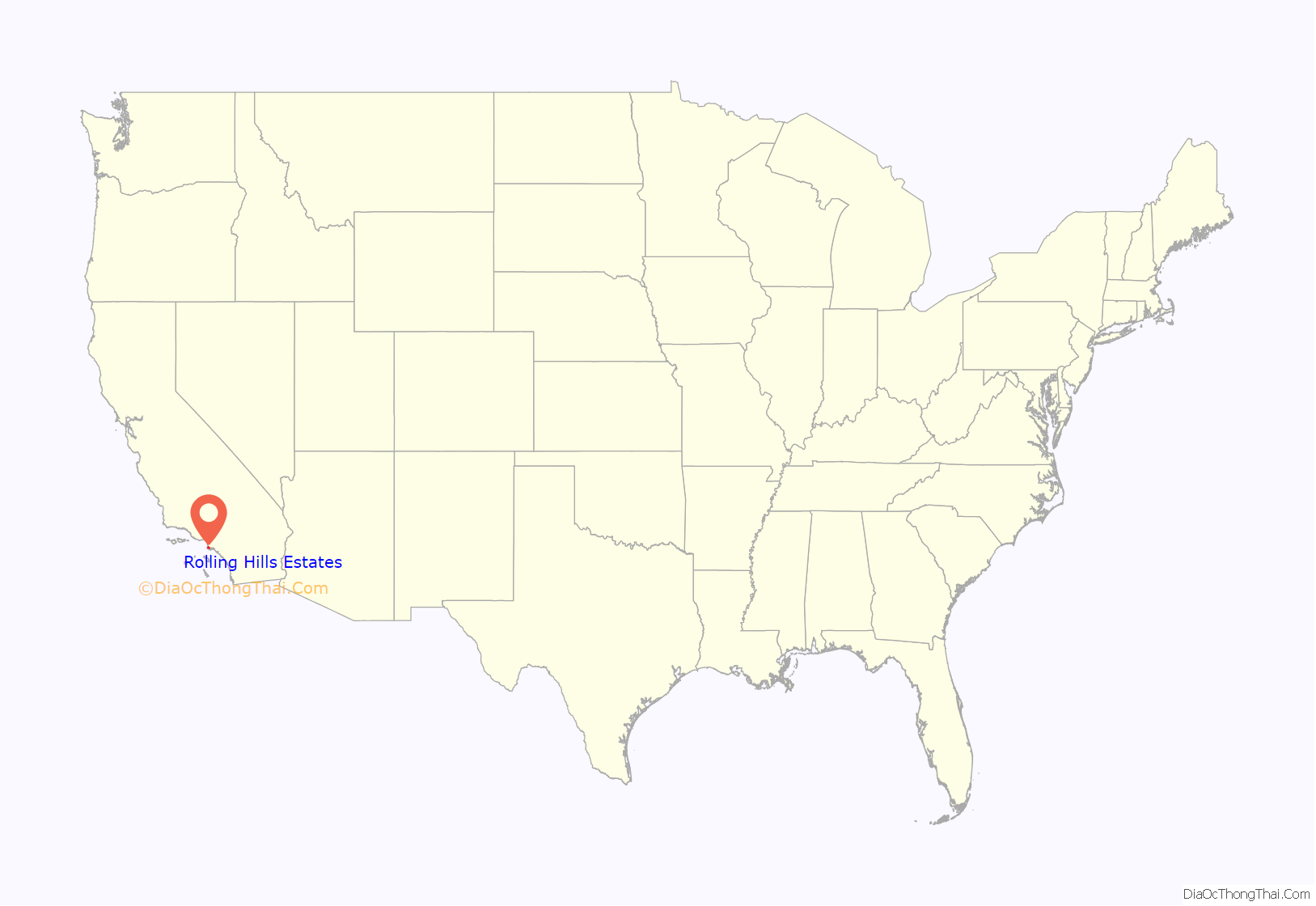
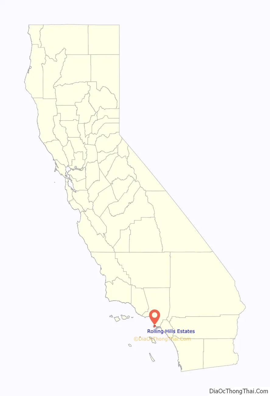
Rolling Hills Estates location map. Where is Rolling Hills Estates city?
History
Rolling Hills Estates was historically part of Rancho San Pedro. The area eventually became known as Rancho El Elastico prior to incorporating as Rolling Hills Estates. It was Los Angeles County’s 60th municipality, incorporated on September 18, 1957.
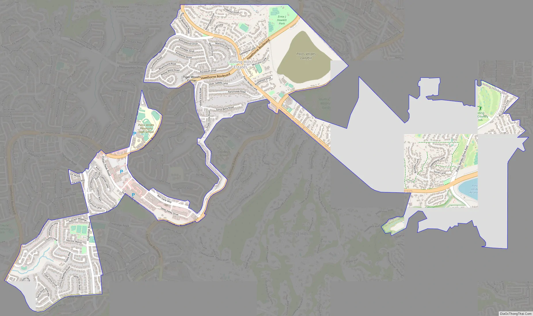
Rolling Hills Estates Road Map
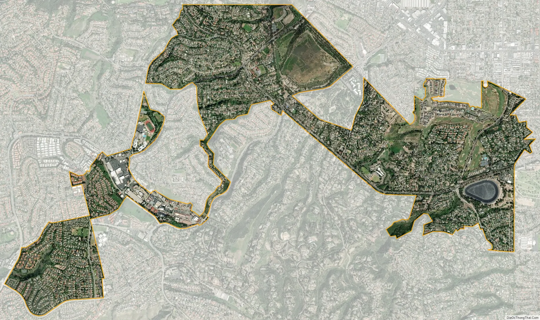
Rolling Hills Estates city Satellite Map
Geography
Rolling Hills Estates is located on the Palos Verdes Peninsula.
According to the United States Census Bureau, the city has a total area of 9.359 square kilometers (3.6 sq mi), 0.115 km (0.04 sq mi) of it (1.22%) is water.
See also
Map of California State and its subdivision:- Alameda
- Alpine
- Amador
- Butte
- Calaveras
- Colusa
- Contra Costa
- Del Norte
- El Dorado
- Fresno
- Glenn
- Humboldt
- Imperial
- Inyo
- Kern
- Kings
- Lake
- Lassen
- Los Angeles
- Madera
- Marin
- Mariposa
- Mendocino
- Merced
- Modoc
- Mono
- Monterey
- Napa
- Nevada
- Orange
- Placer
- Plumas
- Riverside
- Sacramento
- San Benito
- San Bernardino
- San Diego
- San Francisco
- San Joaquin
- San Luis Obispo
- San Mateo
- Santa Barbara
- Santa Clara
- Santa Cruz
- Shasta
- Sierra
- Siskiyou
- Solano
- Sonoma
- Stanislaus
- Sutter
- Tehama
- Trinity
- Tulare
- Tuolumne
- Ventura
- Yolo
- Yuba
- Alabama
- Alaska
- Arizona
- Arkansas
- California
- Colorado
- Connecticut
- Delaware
- District of Columbia
- Florida
- Georgia
- Hawaii
- Idaho
- Illinois
- Indiana
- Iowa
- Kansas
- Kentucky
- Louisiana
- Maine
- Maryland
- Massachusetts
- Michigan
- Minnesota
- Mississippi
- Missouri
- Montana
- Nebraska
- Nevada
- New Hampshire
- New Jersey
- New Mexico
- New York
- North Carolina
- North Dakota
- Ohio
- Oklahoma
- Oregon
- Pennsylvania
- Rhode Island
- South Carolina
- South Dakota
- Tennessee
- Texas
- Utah
- Vermont
- Virginia
- Washington
- West Virginia
- Wisconsin
- Wyoming


