Rollingwood is a census-designated place (CDP) in Contra Costa County, California, United States. As of the 2010 census, Rollingwood’s population was 2,969.
| Name: | Rollingwood CDP |
|---|---|
| LSAD Code: | 57 |
| LSAD Description: | CDP (suffix) |
| State: | California |
| County: | Contra Costa County |
| Elevation: | 75 ft (23 m) |
| Total Area: | 0.166 sq mi (0.430 km²) |
| Land Area: | 0.166 sq mi (0.430 km²) |
| Water Area: | 0 sq mi (0 km²) 0% |
| Total Population: | 2,969 |
| Population Density: | 18,000/sq mi (6,900/km²) |
| FIPS code: | 0662700 |
Online Interactive Map
Click on ![]() to view map in "full screen" mode.
to view map in "full screen" mode.
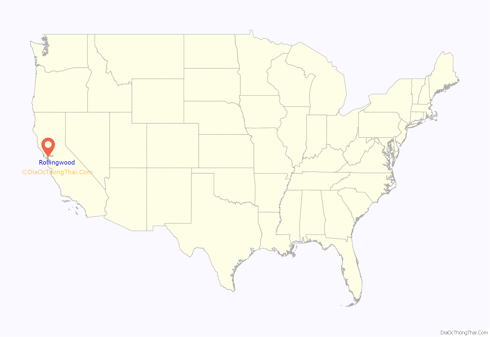
Rollingwood location map. Where is Rollingwood CDP?
History
The federal government contracted David Bohannon, one of the nation’s lead mass production developers, to develop Rollingwood. Federal officials approved bank loans to finance construction, requiring that the homes not be sold to African-Americans.
In 1952, Wilbur Gary, an African-American navy war veteran, former shipyard worker, and building contractor, purchased a home in Rollingwood from fellow navy war veteran Lieutenant Commander Sidney Hogan. Gary’s purchase provoked anger among residents of the formerly all-white town. Soon after the Garys arrived, a mob of 300 white residents gathered in front of Gary’s house. The mob shouted racial epithets, hurled a brick through the family’s window, and burned a cross on their front lawn.
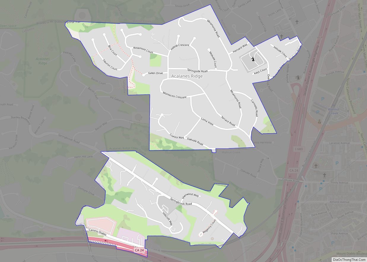
Rollingwood Road Map
Rollingwood city Satellite Map
Geography
According to the United States Census Bureau, the CDP has a total area of 0.2 square miles (0.52 km), all of it land.
See also
Map of California State and its subdivision:- Alameda
- Alpine
- Amador
- Butte
- Calaveras
- Colusa
- Contra Costa
- Del Norte
- El Dorado
- Fresno
- Glenn
- Humboldt
- Imperial
- Inyo
- Kern
- Kings
- Lake
- Lassen
- Los Angeles
- Madera
- Marin
- Mariposa
- Mendocino
- Merced
- Modoc
- Mono
- Monterey
- Napa
- Nevada
- Orange
- Placer
- Plumas
- Riverside
- Sacramento
- San Benito
- San Bernardino
- San Diego
- San Francisco
- San Joaquin
- San Luis Obispo
- San Mateo
- Santa Barbara
- Santa Clara
- Santa Cruz
- Shasta
- Sierra
- Siskiyou
- Solano
- Sonoma
- Stanislaus
- Sutter
- Tehama
- Trinity
- Tulare
- Tuolumne
- Ventura
- Yolo
- Yuba
- Alabama
- Alaska
- Arizona
- Arkansas
- California
- Colorado
- Connecticut
- Delaware
- District of Columbia
- Florida
- Georgia
- Hawaii
- Idaho
- Illinois
- Indiana
- Iowa
- Kansas
- Kentucky
- Louisiana
- Maine
- Maryland
- Massachusetts
- Michigan
- Minnesota
- Mississippi
- Missouri
- Montana
- Nebraska
- Nevada
- New Hampshire
- New Jersey
- New Mexico
- New York
- North Carolina
- North Dakota
- Ohio
- Oklahoma
- Oregon
- Pennsylvania
- Rhode Island
- South Carolina
- South Dakota
- Tennessee
- Texas
- Utah
- Vermont
- Virginia
- Washington
- West Virginia
- Wisconsin
- Wyoming
