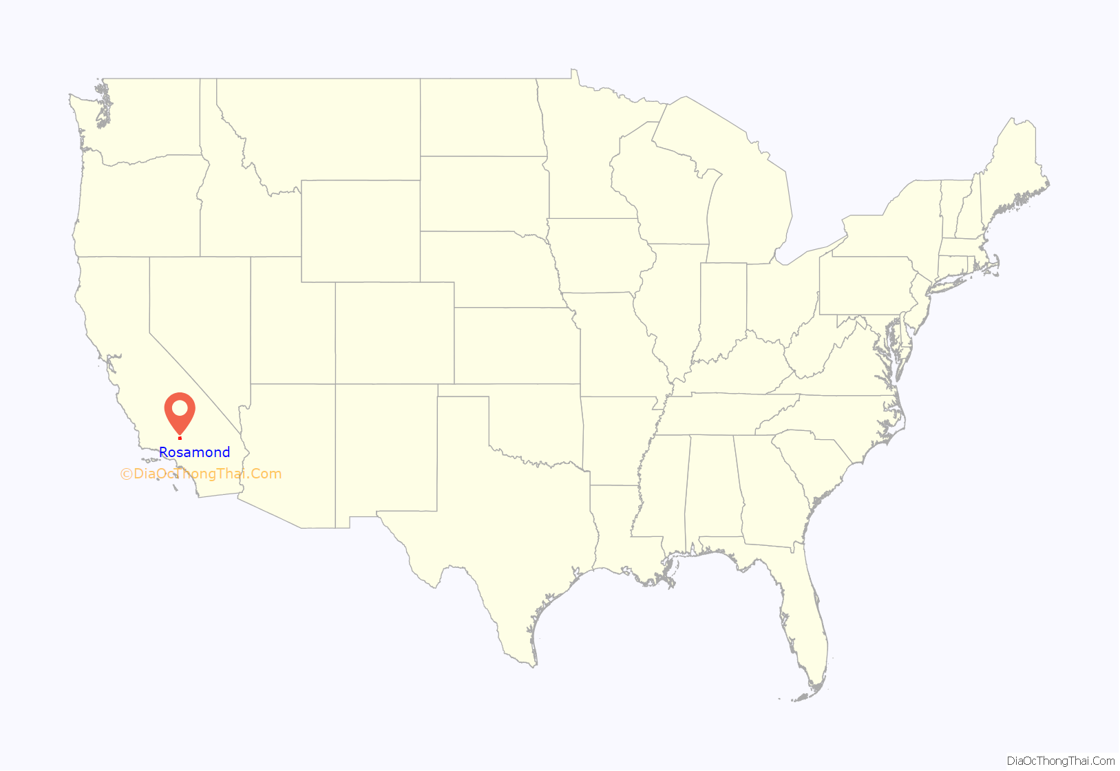
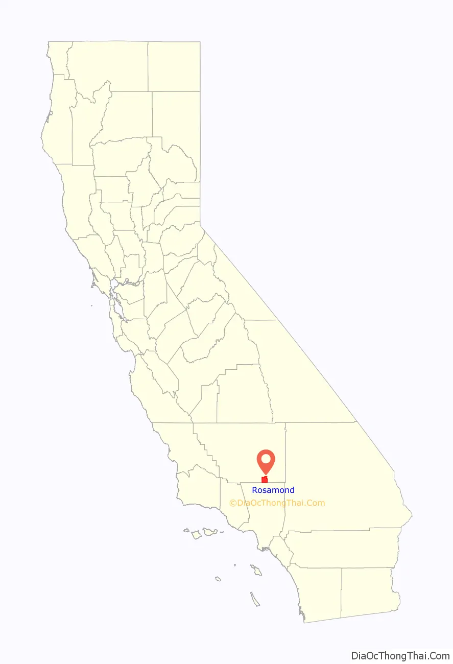
Rosamond is a unincorporated community in Kern County, California, US, near the Los Angeles county line. Rosamond is part of Greater Los Angeles and is located in the Mojave Desert just north of Lancaster and Palmdale, two of the largest cities in Antelope Valley. As of the 2010 Census, Rosamond’s population was 18,150. For statistical purposes, the United States Census Bureau has defined Rosamond as a census-designated place (CDP).
Rosamond is a suburban bedroom community with many residents employed by nearby Edwards Air Force Base or commuting to Los Angeles, Lancaster, and Palmdale for work. The town is about 15 minutes north of the Lancaster Metrolink station providing direct access to Los Angeles Union Station in just two hours.
| Name: | Rosamond CDP |
|---|---|
| LSAD Code: | 57 |
| LSAD Description: | CDP (suffix) |
| State: | California |
| County: | Kern County |
| Elevation: | 2,517 ft (767 m) |
| Total Area: | 52.336 sq mi (135.550 km²) |
| Land Area: | 52.121 sq mi (134.993 km²) |
| Water Area: | 0.215 sq mi (0.557 km²) 0.41% |
| Total Population: | 18,150 |
| Population Density: | 350/sq mi (130/km²) |
| ZIP code: | 93560 |
| Area code: | 661 |
| FIPS code: | 0662826 |
| GNISfeature ID: | 1661329 |
Online Interactive Map
Click on ![]() to view map in "full screen" mode.
to view map in "full screen" mode.
Rosamond location map. Where is Rosamond CDP?
History
Rosamond was established in 1877 as a townsite owned by the Southern Pacific Railroad; it was named for the daughter of one of the railroad’s officials. The first local industries were mining and cattle. During the 1890s, gold was discovered in the area, quickly drawing miners and prospectors. After the initial boom, gold mining gradually declined, though it had a second, smaller boom during the 1930s. In 1933, Muroc Army Air Field was established some 20 miles (32 km) miles away; it was later renamed Edwards Air Force Base in honor of fallen test pilot Glenn Edwards.
The Rosamond post office opened in 1885, closed in 1887, and re-opened in 1888.
1932 Ford V-8 endurance test
In July 1932, racing driver Eddie Pullen and his team demonstrated the endurance of the newly developed Ford V-8 engine, by driving a Ford V-8, model 18, 33,301 miles (53,593 km) in 33 days, in the Mojave desert. The average speed was 42 miles per hour (68 km/h) over course of 82 miles (132 km) of difficult desert terrain, where temperatures were as high as 114 °F (46 °C). Fuel consumption averaged 19.64 miles per U.S. gallon (8.35 km/L).
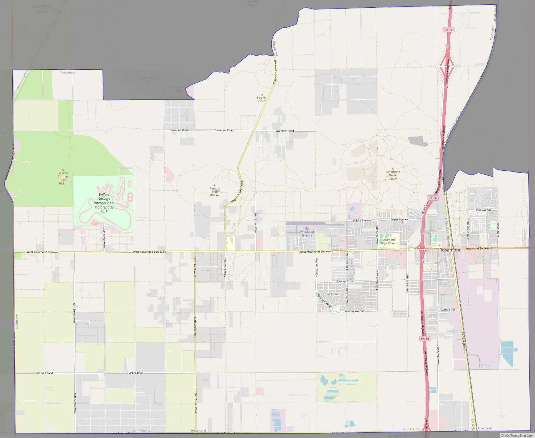
Rosamond Road Map
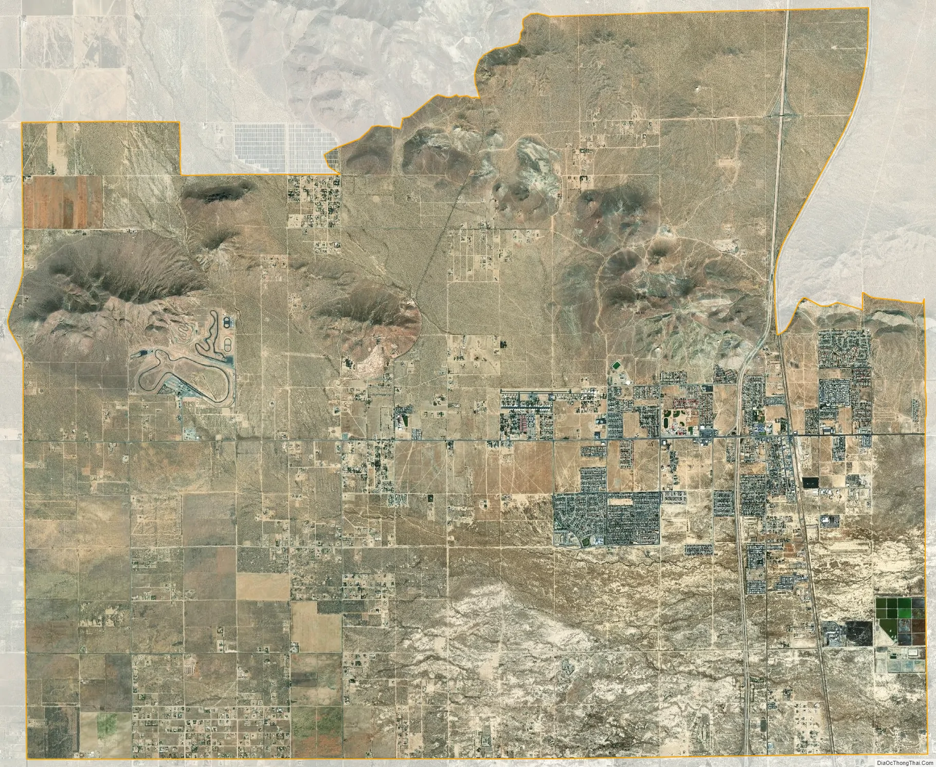
Rosamond city Satellite Map
Geography
Rosamond sits in the northern end of the Antelope Valley, the westernmost valley of the Mojave Desert. Because the elevation is 2,000 to 3,000 feet (610 to 910 m) above sea level, the area, like the other parts of the Mojave Desert region, is referred to as the High Desert. Some cities and communities within the trading area of Rosamond include Lancaster, Palmdale, Hi Vista, Roosevelt, Redman, Lake Los Angeles, Quartz Hill, Ridgecrest, and Santa Clarita. Residents of these desert cities and unincorporated communities share Sierra Highway, Angeles Forest Highway, Angeles Crest Highway (State Route 2), and the Antelope Valley Freeway (State Route 14) for commutes to the San Fernando Valley and Los Angeles Basin in order to get to work.
Willow Springs lies west of central Rosamond and was a watering hole for stagecoach travelers for generations, though its springs have dried up. Willow Springs Raceway is nearby, which hosts a variety of motor racing events, attracting people from all over Southern California and beyond.
According to the United States Census Bureau, the CDP has a total area of 52.336 square miles (135.550 km), of which, 52.121 square miles (134.993 km) of it is land and 0.215 square miles (0.557 km) of it (0.41%) is water. The Census Bureau definition of the area may not precisely correspond to the local understanding of the historical area of the community.
See also
Map of California State and its subdivision:- Alameda
- Alpine
- Amador
- Butte
- Calaveras
- Colusa
- Contra Costa
- Del Norte
- El Dorado
- Fresno
- Glenn
- Humboldt
- Imperial
- Inyo
- Kern
- Kings
- Lake
- Lassen
- Los Angeles
- Madera
- Marin
- Mariposa
- Mendocino
- Merced
- Modoc
- Mono
- Monterey
- Napa
- Nevada
- Orange
- Placer
- Plumas
- Riverside
- Sacramento
- San Benito
- San Bernardino
- San Diego
- San Francisco
- San Joaquin
- San Luis Obispo
- San Mateo
- Santa Barbara
- Santa Clara
- Santa Cruz
- Shasta
- Sierra
- Siskiyou
- Solano
- Sonoma
- Stanislaus
- Sutter
- Tehama
- Trinity
- Tulare
- Tuolumne
- Ventura
- Yolo
- Yuba
- Alabama
- Alaska
- Arizona
- Arkansas
- California
- Colorado
- Connecticut
- Delaware
- District of Columbia
- Florida
- Georgia
- Hawaii
- Idaho
- Illinois
- Indiana
- Iowa
- Kansas
- Kentucky
- Louisiana
- Maine
- Maryland
- Massachusetts
- Michigan
- Minnesota
- Mississippi
- Missouri
- Montana
- Nebraska
- Nevada
- New Hampshire
- New Jersey
- New Mexico
- New York
- North Carolina
- North Dakota
- Ohio
- Oklahoma
- Oregon
- Pennsylvania
- Rhode Island
- South Carolina
- South Dakota
- Tennessee
- Texas
- Utah
- Vermont
- Virginia
- Washington
- West Virginia
- Wisconsin
- Wyoming


