Ross is a small incorporated town in Marin County, California, United States, just north of San Francisco. Ross is located 1.5 miles (2.4 km) west-southwest of San Rafael, at an elevation of 36 feet (11 m). The population was 2,338 at the 2020 census. The town is bordered by San Rafael to the east, Kentfield to the south, San Anselmo to the north, and the Mount Tamalpais protected watershed to the west.
Ross is named in honor of James Ross, who acquired Rancho Punta de Quentin in 1859.
| Name: | Ross town |
|---|---|
| LSAD Code: | 43 |
| LSAD Description: | town (suffix) |
| State: | California |
| County: | Marin County |
| Incorporated: | August 21, 1908 |
| Elevation: | 36 ft (11 m) |
| Total Area: | 1.56 sq mi (4.0 km²) |
| Land Area: | 1.56 sq mi (4.0 km²) |
| Water Area: | 0.00 sq mi (0.0 km²) 0% |
| Total Population: | 2,338 |
| Population Density: | 1,500.6/sq mi (579.4/km²) |
| ZIP code: | 94957 |
| FIPS code: | 0662980 |
| GNISfeature ID: | 0277587 |
| Website: | www.townofross.org |
Online Interactive Map
Click on ![]() to view map in "full screen" mode.
to view map in "full screen" mode.
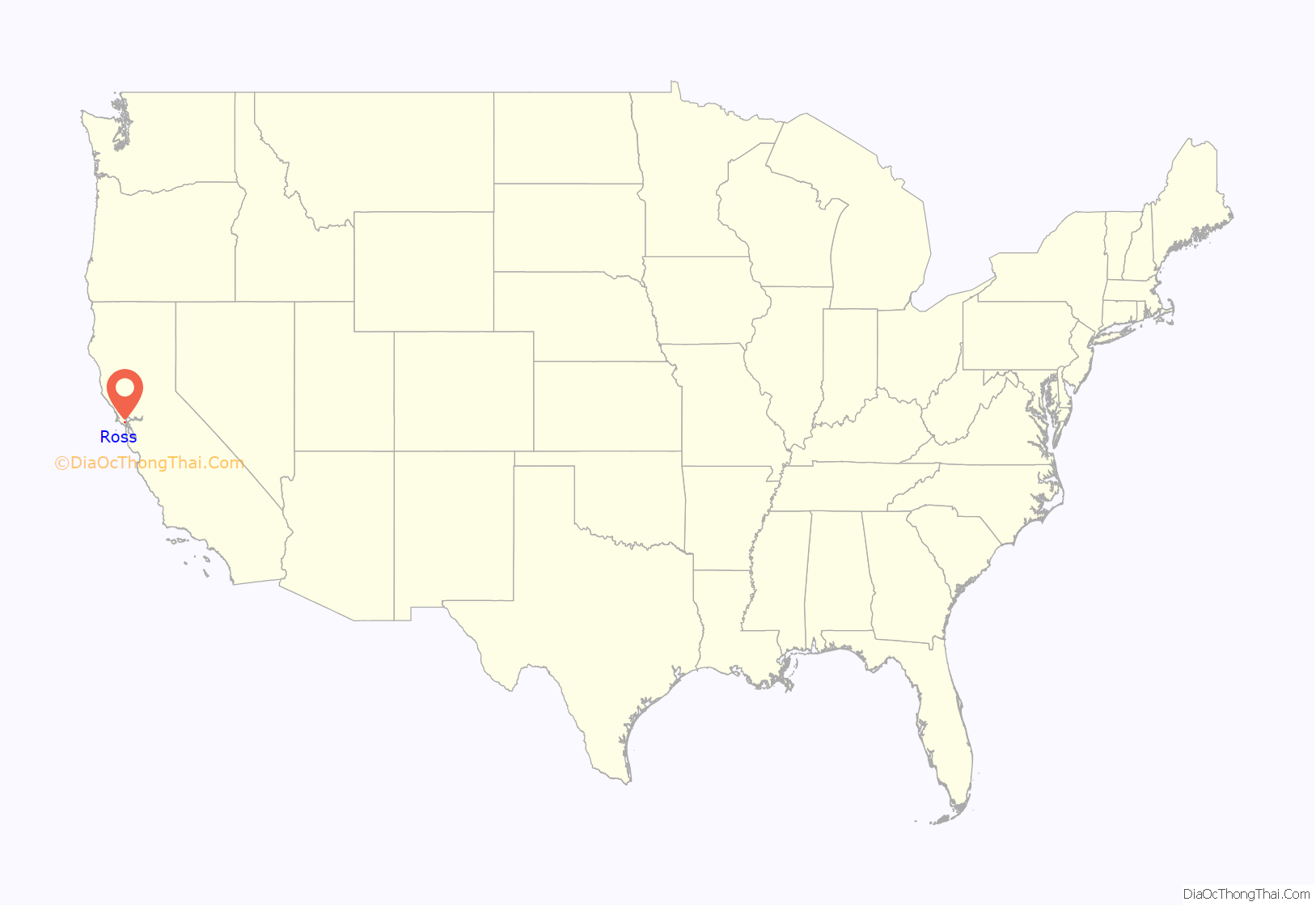
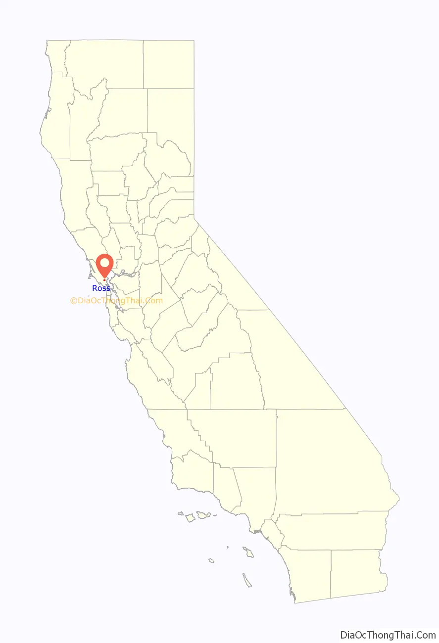
Ross location map. Where is Ross town?
History
After the Mexican Revolution of 1821, the “land grant” system of parceling out land gave rise to what is now known as Marin County. Ross was originally part of an 8,877-acre (3,592 ha) Mexican land grant to Juan B.R. Cooper in 1840 known as Ranch Punta de Quentin Canada de San Anselmo.
In 1857, James Ross (1812–1862) bought Rancho Punta de Quentin for $50,000. Ross, a Scot who had arrived in San Francisco from Australia in 1848 and made his fortune in the wholesale liquor business, set up a trading post called “Ross Landing”. He built his home on Redwood Drive and moved there with his wife and three children. When James Ross died in 1862, his wife, Annie Ross, was forced to sell a portion of her husband’s larger land holdings to pay each of their daughters $10,000. The remaining 297 acres (120 ha) comprises the present-day Town of Ross.
The first post office opened in 1887, and Ross incorporated in 1908.
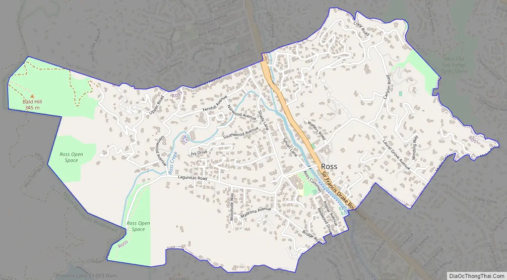
Ross Road Map
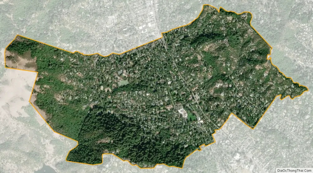
Ross city Satellite Map
Geography
According to the United States Census Bureau, the town has a total area of 1.6 square miles (4.1 km), all of it recorded as land.
See also
Map of California State and its subdivision:- Alameda
- Alpine
- Amador
- Butte
- Calaveras
- Colusa
- Contra Costa
- Del Norte
- El Dorado
- Fresno
- Glenn
- Humboldt
- Imperial
- Inyo
- Kern
- Kings
- Lake
- Lassen
- Los Angeles
- Madera
- Marin
- Mariposa
- Mendocino
- Merced
- Modoc
- Mono
- Monterey
- Napa
- Nevada
- Orange
- Placer
- Plumas
- Riverside
- Sacramento
- San Benito
- San Bernardino
- San Diego
- San Francisco
- San Joaquin
- San Luis Obispo
- San Mateo
- Santa Barbara
- Santa Clara
- Santa Cruz
- Shasta
- Sierra
- Siskiyou
- Solano
- Sonoma
- Stanislaus
- Sutter
- Tehama
- Trinity
- Tulare
- Tuolumne
- Ventura
- Yolo
- Yuba
- Alabama
- Alaska
- Arizona
- Arkansas
- California
- Colorado
- Connecticut
- Delaware
- District of Columbia
- Florida
- Georgia
- Hawaii
- Idaho
- Illinois
- Indiana
- Iowa
- Kansas
- Kentucky
- Louisiana
- Maine
- Maryland
- Massachusetts
- Michigan
- Minnesota
- Mississippi
- Missouri
- Montana
- Nebraska
- Nevada
- New Hampshire
- New Jersey
- New Mexico
- New York
- North Carolina
- North Dakota
- Ohio
- Oklahoma
- Oregon
- Pennsylvania
- Rhode Island
- South Carolina
- South Dakota
- Tennessee
- Texas
- Utah
- Vermont
- Virginia
- Washington
- West Virginia
- Wisconsin
- Wyoming


