Round Mountain is a census-designated place in Shasta County, California, United States. Its population is 160 as of the 2020 census, up from 155 from the 2010 census.
| Name: | Round Mountain CDP |
|---|---|
| LSAD Code: | 57 |
| LSAD Description: | CDP (suffix) |
| State: | California |
| County: | Shasta County |
| Elevation: | 2,080 ft (635 m) |
| Total Area: | 1.684 sq mi (4.360 km²) |
| Land Area: | 1.677 sq mi (4.343 km²) |
| Water Area: | 0.007 sq mi (0.018 km²) 0.40% |
| Total Population: | 160 |
| Population Density: | 95/sq mi (37/km²) |
| ZIP code: | 96084 |
| Area code: | 530 |
| FIPS code: | 0663134 |
| GNISfeature ID: | 1659552 |
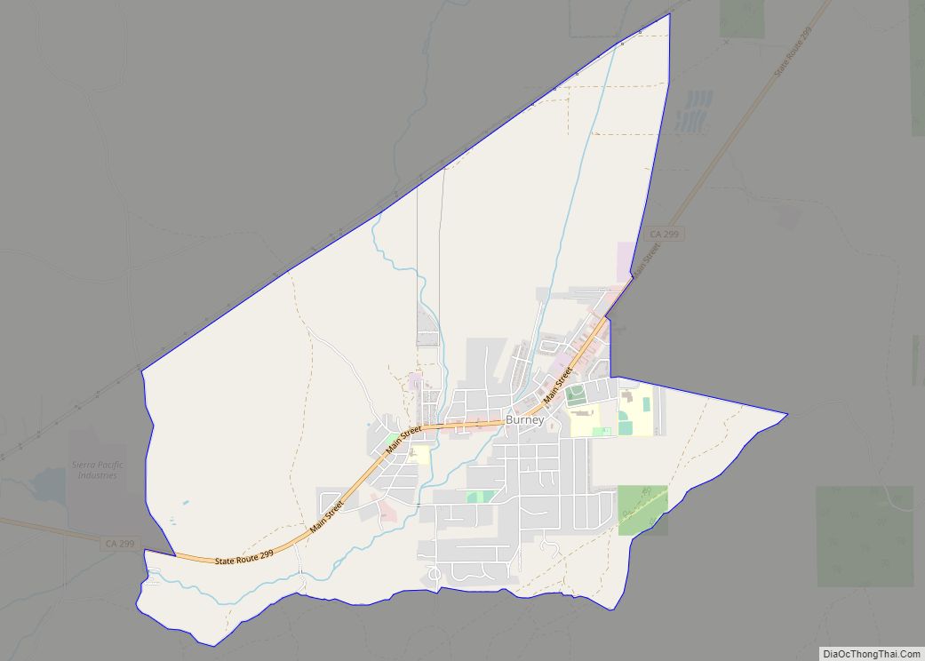
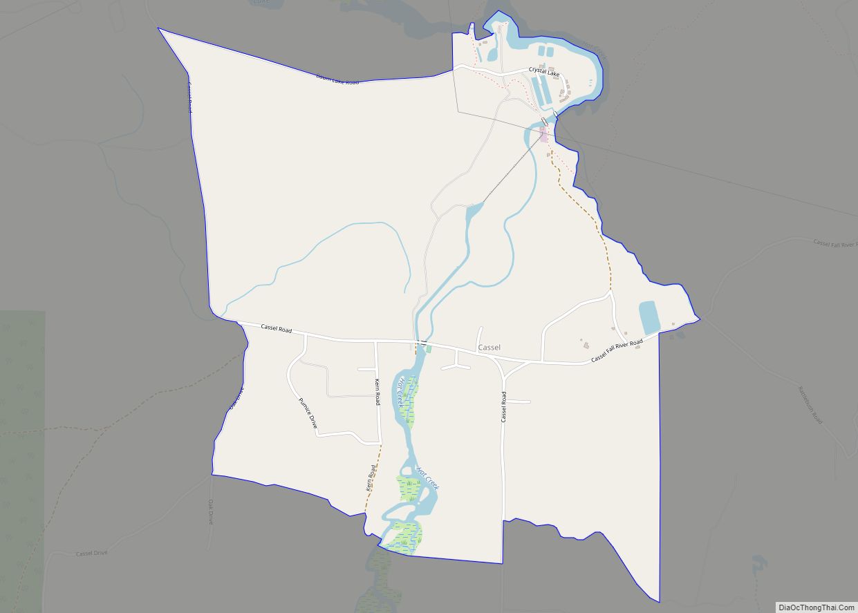
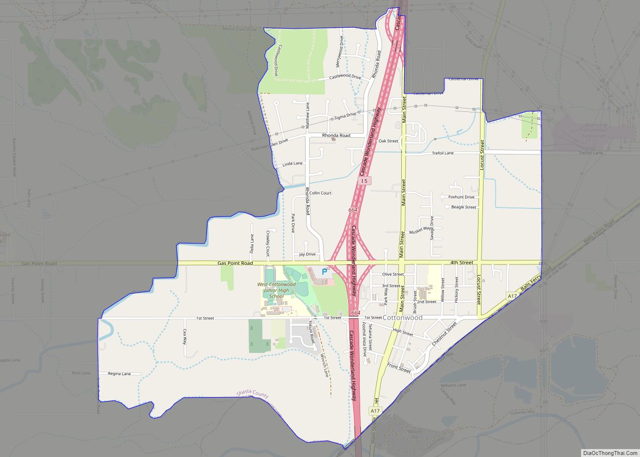
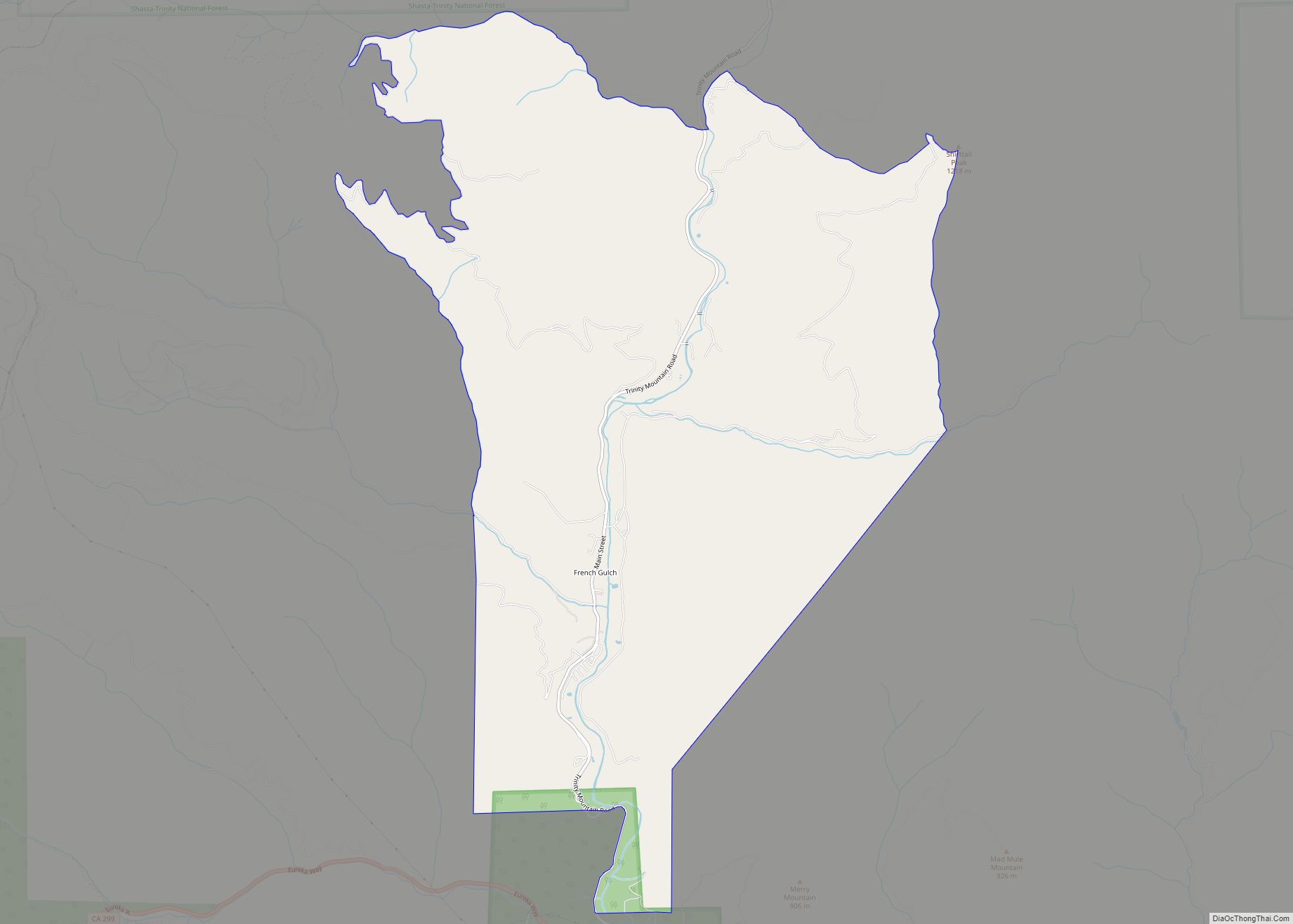
Online Interactive Map
Click on ![]() to view map in "full screen" mode.
to view map in "full screen" mode.
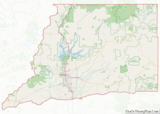
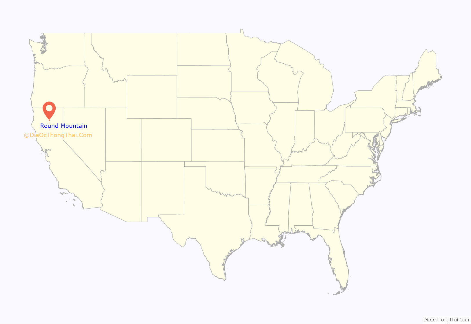
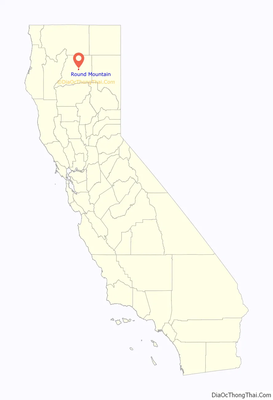
Round Mountain location map. Where is Round Mountain CDP?
History
On August 19, 1992, a wildfire called the Fountain Fire started off Buzzard Roost Road. The Fountain Fire burned 64,000 acres (260 km), destroying approximately 600 structures in Round Mountain and the nearby communities of Moose Camp and Montgomery Creek.
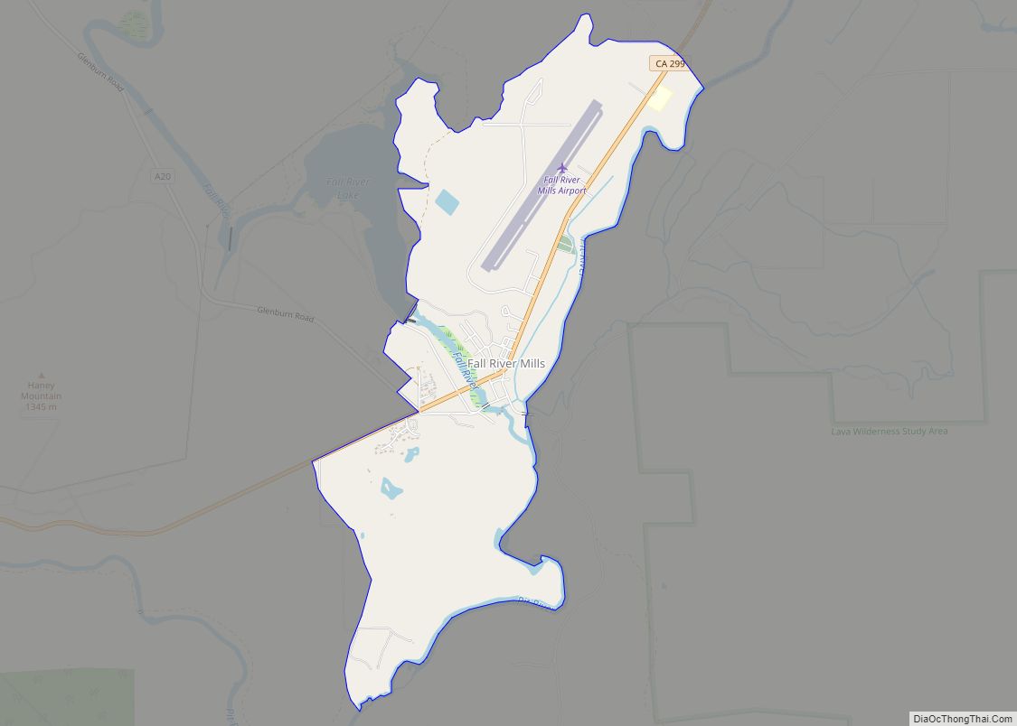
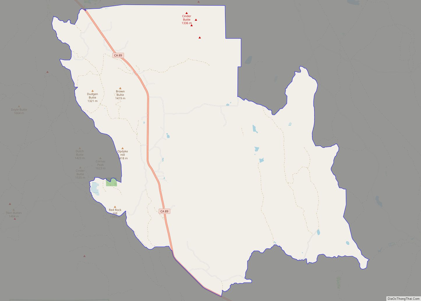
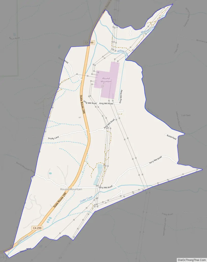
Round Mountain Road Map
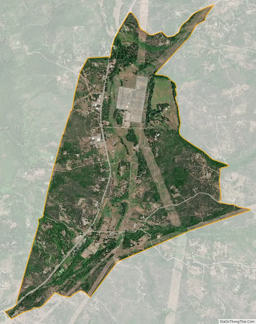
Round Mountain city Satellite Map
Geography
Round Mountain is located at 40°47′59″N 121°56′35″W / 40.79972°N 121.94306°W / 40.79972; -121.94306 (40.799633, -121.943058).
According to the United States Census Bureau, the CDP has a total area of 1.7 square miles (4.4 km), 99.60% of it land and 0.40% of it water.
Round Mountain is the geographic center of the Achomawi and Atsugewi or “Pit River” first nation. The “Pit River” tribe has never signed a treaty with the federal government and remains a strong force of opposition to federal control.
Round Mountain is the home of Hill Country Health and Wellness Center, one of the most solvent clinics in California. It also has the highest awarded LEEDS construction certificates of any clinic in California. Hill Country maintains a large youth facility.
Some organic farmers in Round Mountain are members of the Shasta Regional Seed Cooperative and work together to maintain hundreds of heirloom food crops as well as bio-dynamic farming techniques. Many residents are off the grid, using hydroelectric, solar and wind resources for their home power. Some of these forward-thinking residents also maintain local crime-watch activities and network projects to advance the sustainability of the region.
A large electrical substation is in the area, and power lines (Path 66 and a set of connecting wires to Path 15) run through the town.
A second substation was planned, then canceled, in 2009, along with 650 miles (1,050 km) of electrical lines from central California thru Round Mountain and then northbound. This plan, called TANC (Transmission Authority of Northern California), was halted by citizens who produced presentations statewide, showing that Department of Energy data conflicted with the project’s stated goals. This 1.4 billion dollar TANC project was stopped in about 90 days.
Cedar Creek Elementary School is not currently operating as most Round Mountain students are attending schools in the Mountain Union (K-8) District in nearby Montgomery Creek. Round Mountain Community Center is administered through the local Lion’s Club/VFW and has capacity for about 200.
The geography in Round Mountain has been at times very unstable. Several homes, a store, and a nightclub have been among buildings destroyed in landslides. Many of the power lines in the area appear to be constantly repaired due to shifting foundations. After both the Fountain Fire and the introduction of power lines (which increased erosion due to construction as well as due to a program to maintain low or no vegetation under and alongside high-tension wires), slides in the area increased. The location of a major road reconstruction project in 2009 of “the fountain” (a set of curves leading into Round Mountain from the west) became the scene of major shifting, road buckling, and surface water eruptions in the first rain season after completion.
Local geography invites fishing, mountain climbing, and hiking as well as opportunities to experience some of California’s wildest land.
See also
Map of California State and its subdivision:- Alameda
- Alpine
- Amador
- Butte
- Calaveras
- Colusa
- Contra Costa
- Del Norte
- El Dorado
- Fresno
- Glenn
- Humboldt
- Imperial
- Inyo
- Kern
- Kings
- Lake
- Lassen
- Los Angeles
- Madera
- Marin
- Mariposa
- Mendocino
- Merced
- Modoc
- Mono
- Monterey
- Napa
- Nevada
- Orange
- Placer
- Plumas
- Riverside
- Sacramento
- San Benito
- San Bernardino
- San Diego
- San Francisco
- San Joaquin
- San Luis Obispo
- San Mateo
- Santa Barbara
- Santa Clara
- Santa Cruz
- Shasta
- Sierra
- Siskiyou
- Solano
- Sonoma
- Stanislaus
- Sutter
- Tehama
- Trinity
- Tulare
- Tuolumne
- Ventura
- Yolo
- Yuba
- Alabama
- Alaska
- Arizona
- Arkansas
- California
- Colorado
- Connecticut
- Delaware
- District of Columbia
- Florida
- Georgia
- Hawaii
- Idaho
- Illinois
- Indiana
- Iowa
- Kansas
- Kentucky
- Louisiana
- Maine
- Maryland
- Massachusetts
- Michigan
- Minnesota
- Mississippi
- Missouri
- Montana
- Nebraska
- Nevada
- New Hampshire
- New Jersey
- New Mexico
- New York
- North Carolina
- North Dakota
- Ohio
- Oklahoma
- Oregon
- Pennsylvania
- Rhode Island
- South Carolina
- South Dakota
- Tennessee
- Texas
- Utah
- Vermont
- Virginia
- Washington
- West Virginia
- Wisconsin
- Wyoming