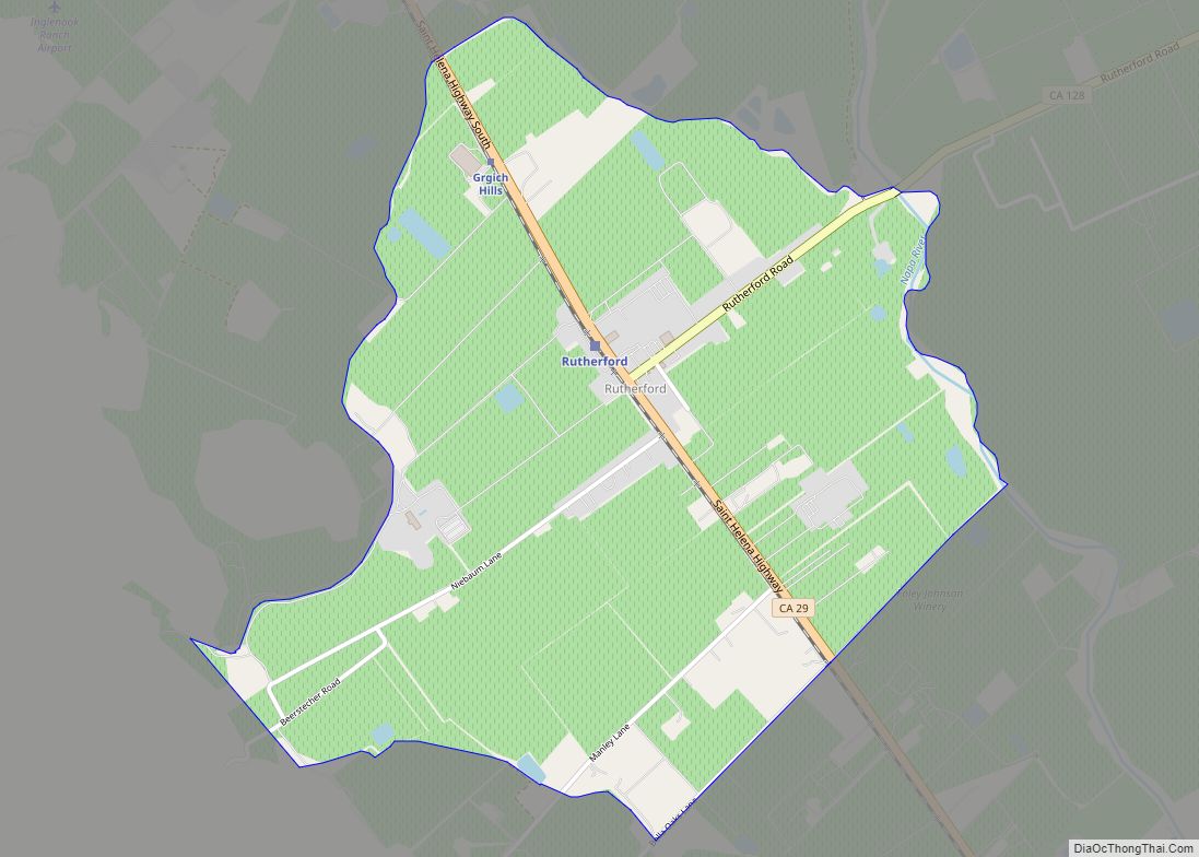
Rutherford is a census-designated place (CDP) in Napa County, California, United States. The population was 164 at the 2010 census.
Rutherford is located in the Rutherford AVA (American Viticultural Area) which is located in the larger Napa Valley AVA. The Robert Mondavi Winery is located between Rutherford and neighboring Oakville (though its corporate headquarters are in nearby St. Helena). Other notable wineries in the Rutherford area include Beaulieu Vineyard, Grgich Hills Estate, St. Supéry Estate Vineyards & Winery, and Inglenook. The Auberge du Soleil restaurant and resort is located in Rutherford.
Rutherford’s zip code is 94573. It is inside area code 707.
| Name: | Rutherford CDP |
|---|---|
| LSAD Code: | 57 |
| LSAD Description: | CDP (suffix) |
| State: | California |
| County: | Napa County |
| Total Area: | 1.684 sq mi (4.361 km²) |
| Land Area: | 1.680 sq mi (4.350 km²) |
| Water Area: | 0.004 sq mi (0.010 km²) 0.24% |
| Total Population: | 164 |
| Population Density: | 97/sq mi (38/km²) |
| ZIP code: | 94573 |
| Area code: | 707 |
| FIPS code: | 0663400 |
| GNISfeature ID: | 2583124 |
Online Interactive Map
Click on ![]() to view map in "full screen" mode.
to view map in "full screen" mode.
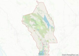
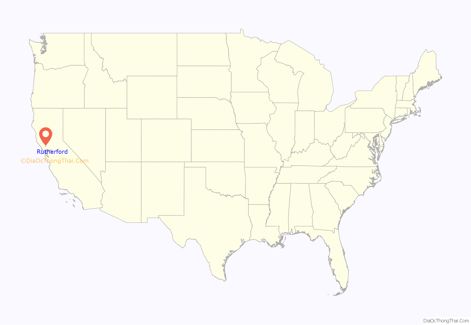
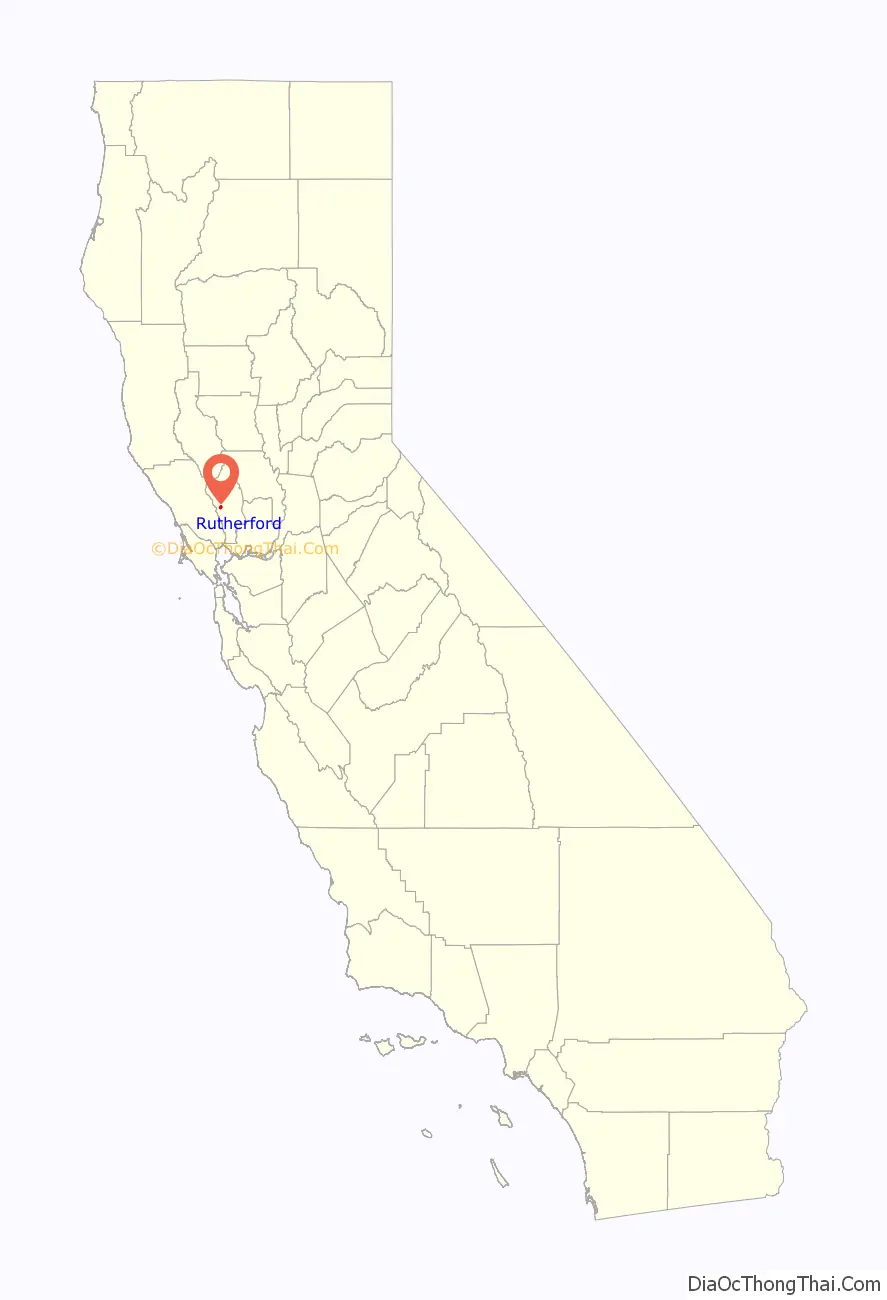
Rutherford location map. Where is Rutherford CDP?
History
Rutherford is located within the 11,887-acre (4,810 ha) Mexican land grant Rancho Caymus deeded to the early Napa Valley settler George C. Yount from General Mariano Guadalupe Vallejo in 1838 as payment for a variety of services. Yount gave a 1,040-acre (421 ha) portion of the grant to his granddaughter Elizabeth and her husband Thomas Rutherford in 1864 as a wedding present. The Rutherfords planted vineyards and made wine in the late 1800s.
In August 2020, the Hennessey Fire was started by a lightning strike in the Vaca Mountains in the Rutherford area, resulting in widespread evacuations and the burning of over 315,611 acres (127,723 ha).
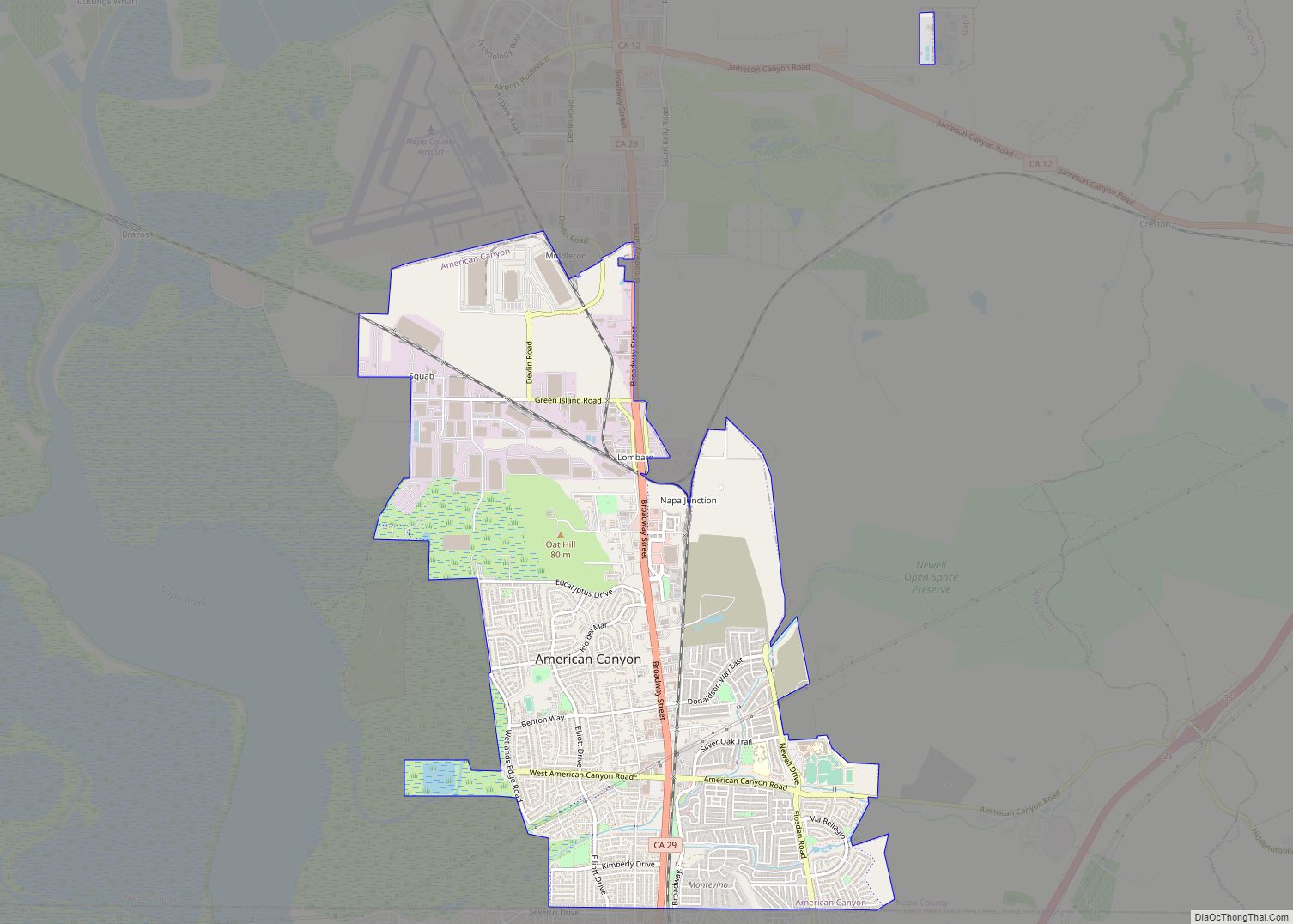
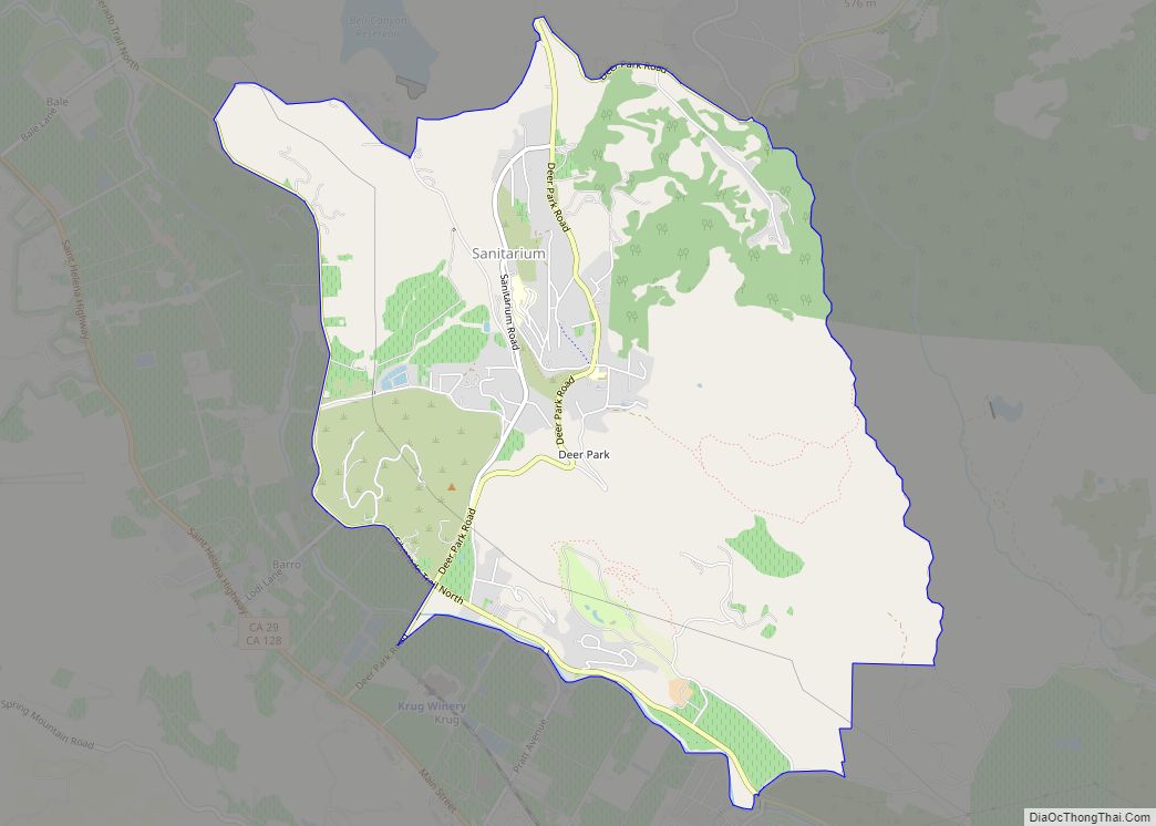
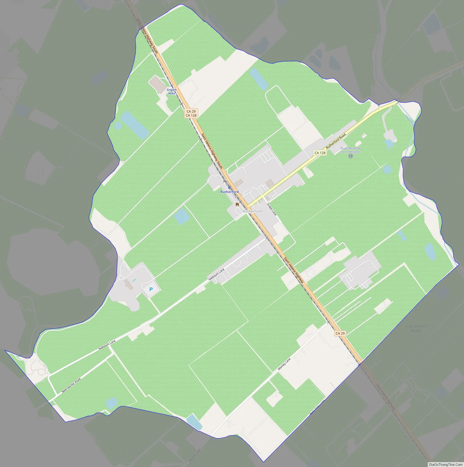
Rutherford Road Map
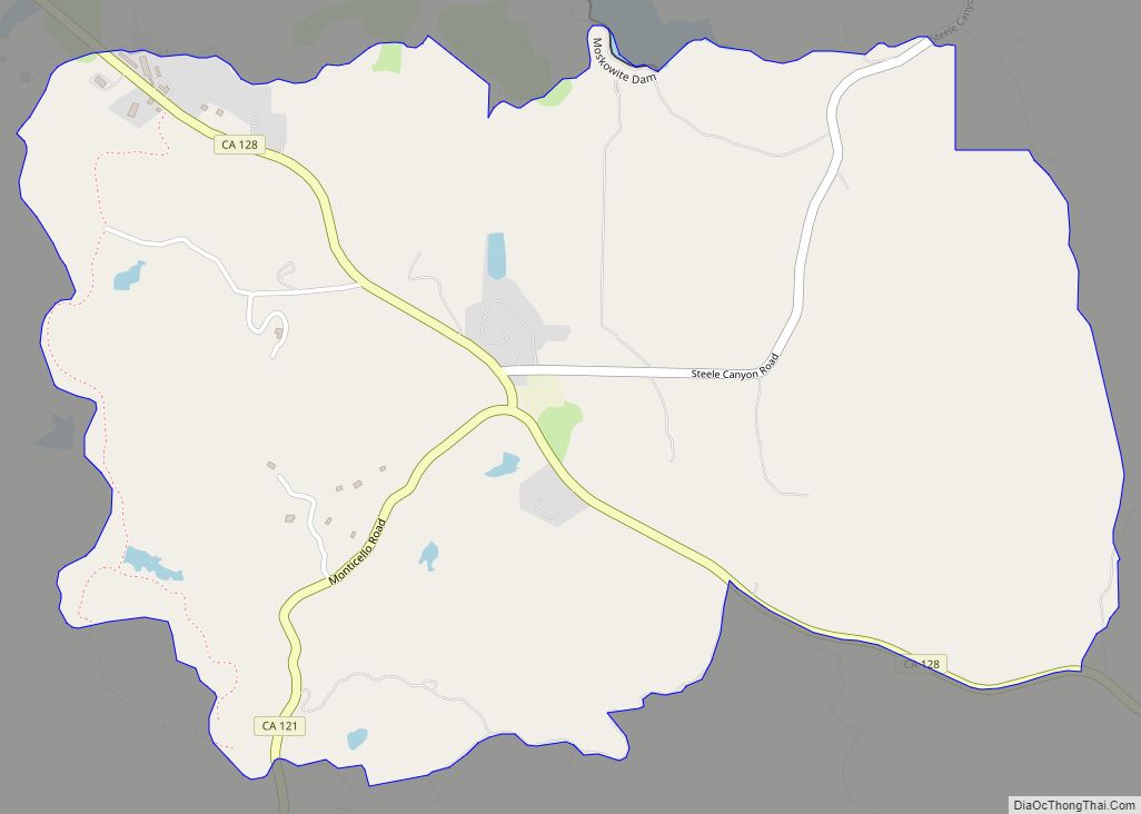
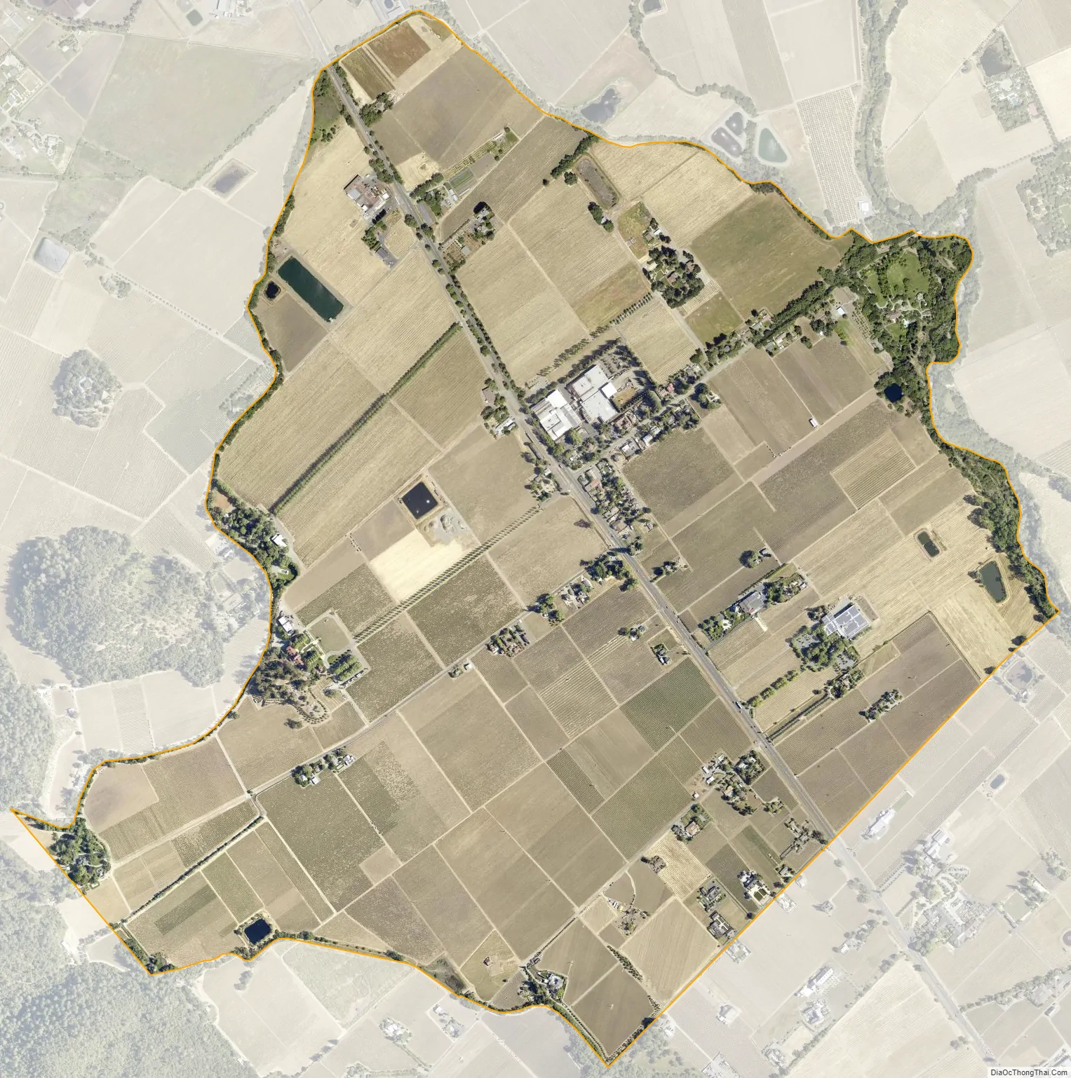
Rutherford city Satellite Map
Geography
According to the United States Census Bureau, the CDP covers an area of 1.7 square miles (4.4 km), 99.76% of it land, and 0.24% water.
See also
Map of California State and its subdivision:- Alameda
- Alpine
- Amador
- Butte
- Calaveras
- Colusa
- Contra Costa
- Del Norte
- El Dorado
- Fresno
- Glenn
- Humboldt
- Imperial
- Inyo
- Kern
- Kings
- Lake
- Lassen
- Los Angeles
- Madera
- Marin
- Mariposa
- Mendocino
- Merced
- Modoc
- Mono
- Monterey
- Napa
- Nevada
- Orange
- Placer
- Plumas
- Riverside
- Sacramento
- San Benito
- San Bernardino
- San Diego
- San Francisco
- San Joaquin
- San Luis Obispo
- San Mateo
- Santa Barbara
- Santa Clara
- Santa Cruz
- Shasta
- Sierra
- Siskiyou
- Solano
- Sonoma
- Stanislaus
- Sutter
- Tehama
- Trinity
- Tulare
- Tuolumne
- Ventura
- Yolo
- Yuba
- Alabama
- Alaska
- Arizona
- Arkansas
- California
- Colorado
- Connecticut
- Delaware
- District of Columbia
- Florida
- Georgia
- Hawaii
- Idaho
- Illinois
- Indiana
- Iowa
- Kansas
- Kentucky
- Louisiana
- Maine
- Maryland
- Massachusetts
- Michigan
- Minnesota
- Mississippi
- Missouri
- Montana
- Nebraska
- Nevada
- New Hampshire
- New Jersey
- New Mexico
- New York
- North Carolina
- North Dakota
- Ohio
- Oklahoma
- Oregon
- Pennsylvania
- Rhode Island
- South Carolina
- South Dakota
- Tennessee
- Texas
- Utah
- Vermont
- Virginia
- Washington
- West Virginia
- Wisconsin
- Wyoming