St. Helena (/həˈliːnə/ hə-LEE-nə) is a city in Napa County, California, United States. Located in the North Bay region of the San Francisco Bay Area, the population was 5,438 at the 2020 census.
St. Helena is a popular tourist destination, owing to its vineyards and culinary scene. The city is the center of St. Helena American Viticultural Area (AVA), which expands 9,060 acres (14 sq mi) of the Napa Valley with over 400 vineyards encompassing 6,800 acres (2,800 ha) of cultivation. St. Helena is the location of The Culinary Institute of America at Greystone and a campus of Napa Valley College.
| Name: | St. Helena city |
|---|---|
| LSAD Code: | 25 |
| LSAD Description: | city (suffix) |
| State: | California |
| County: | Napa County |
| Incorporated: | March 24, 1876 |
| Elevation: | 253 ft (77 m) |
| Land Area: | 4.96 sq mi (12.83 km²) |
| Water Area: | 0.13 sq mi (0.33 km²) 0.81% |
| Population Density: | 1,231.5/sq mi (475.49/km²) |
| ZIP code: | 94574 |
| Area code: | 707 |
| FIPS code: | 0664140 |
| Website: | www.ci.st-helena.ca.us |
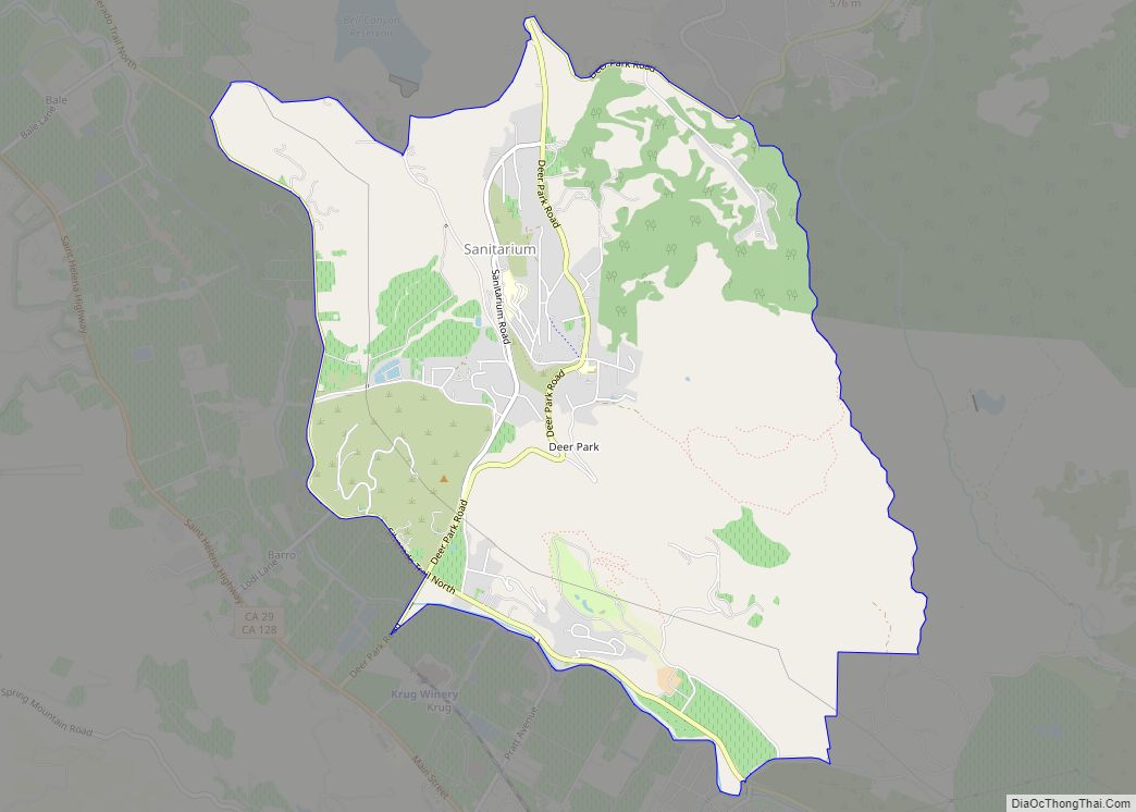
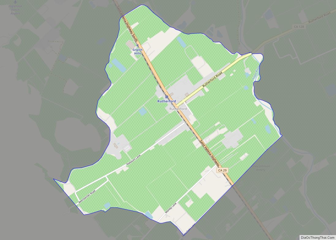
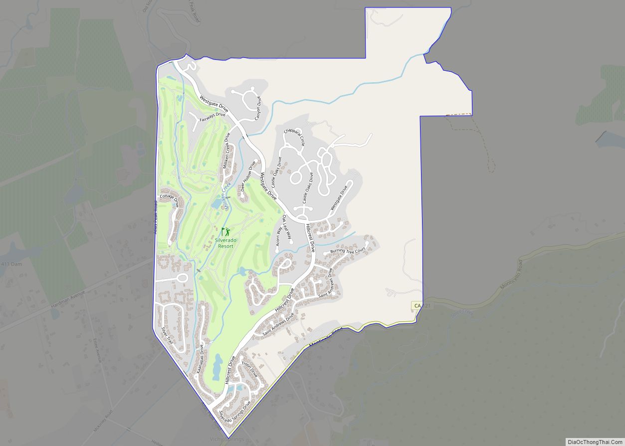
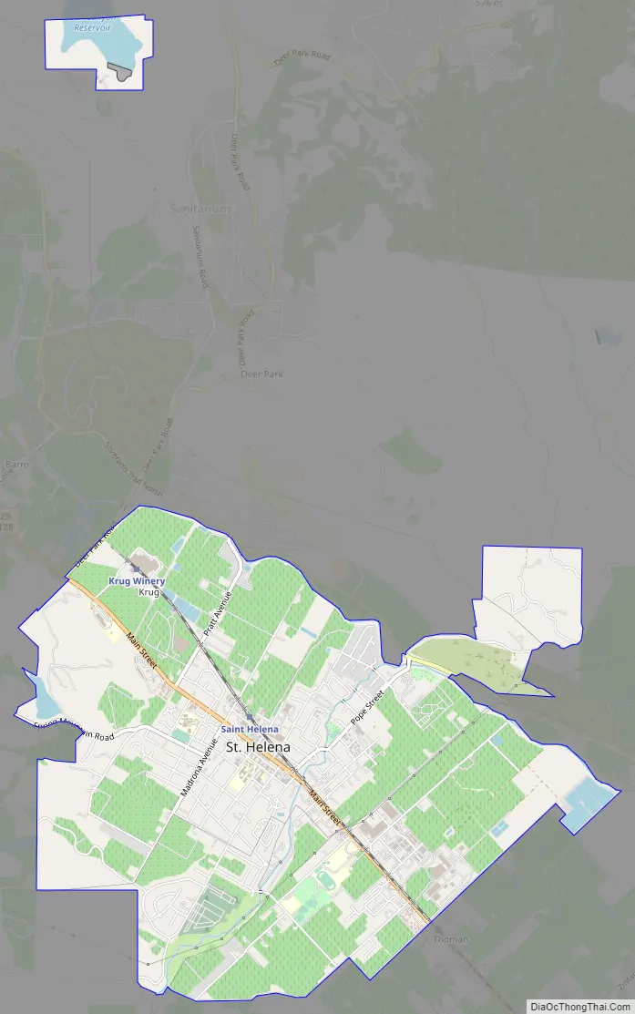
Online Interactive Map
Click on ![]() to view map in "full screen" mode.
to view map in "full screen" mode.
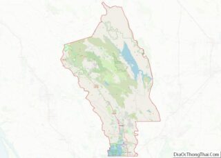
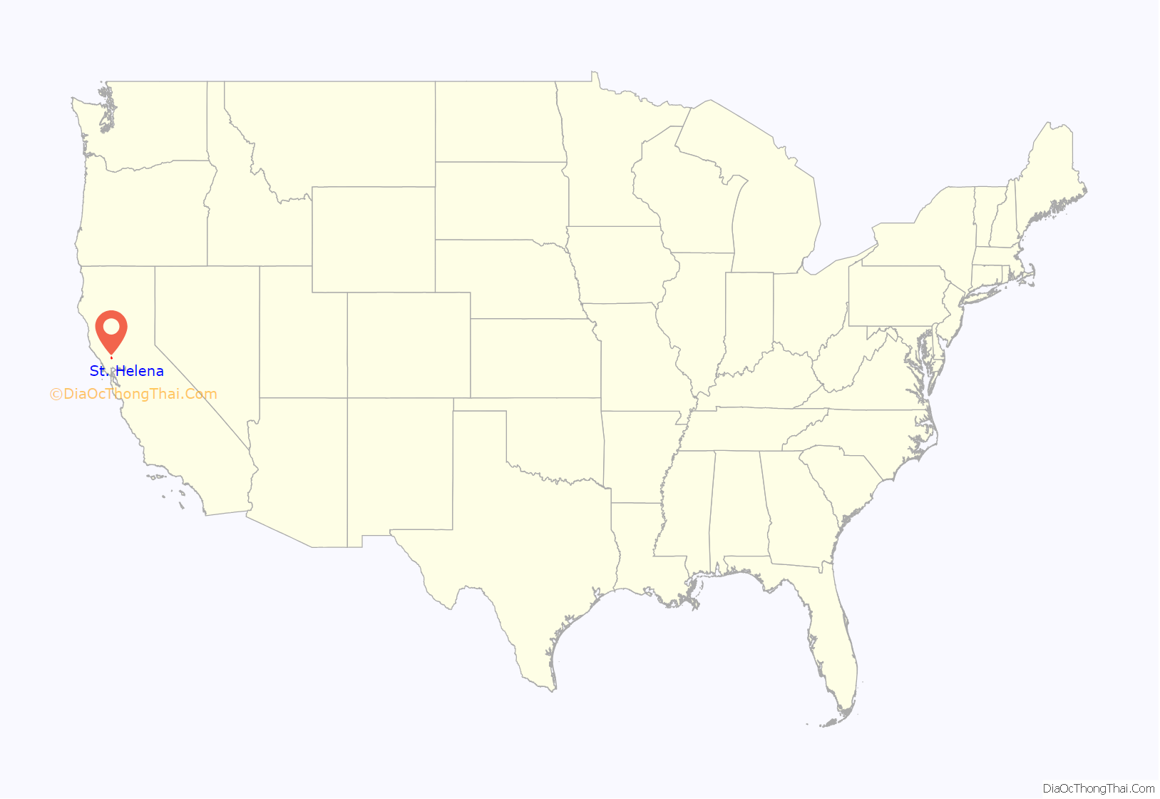
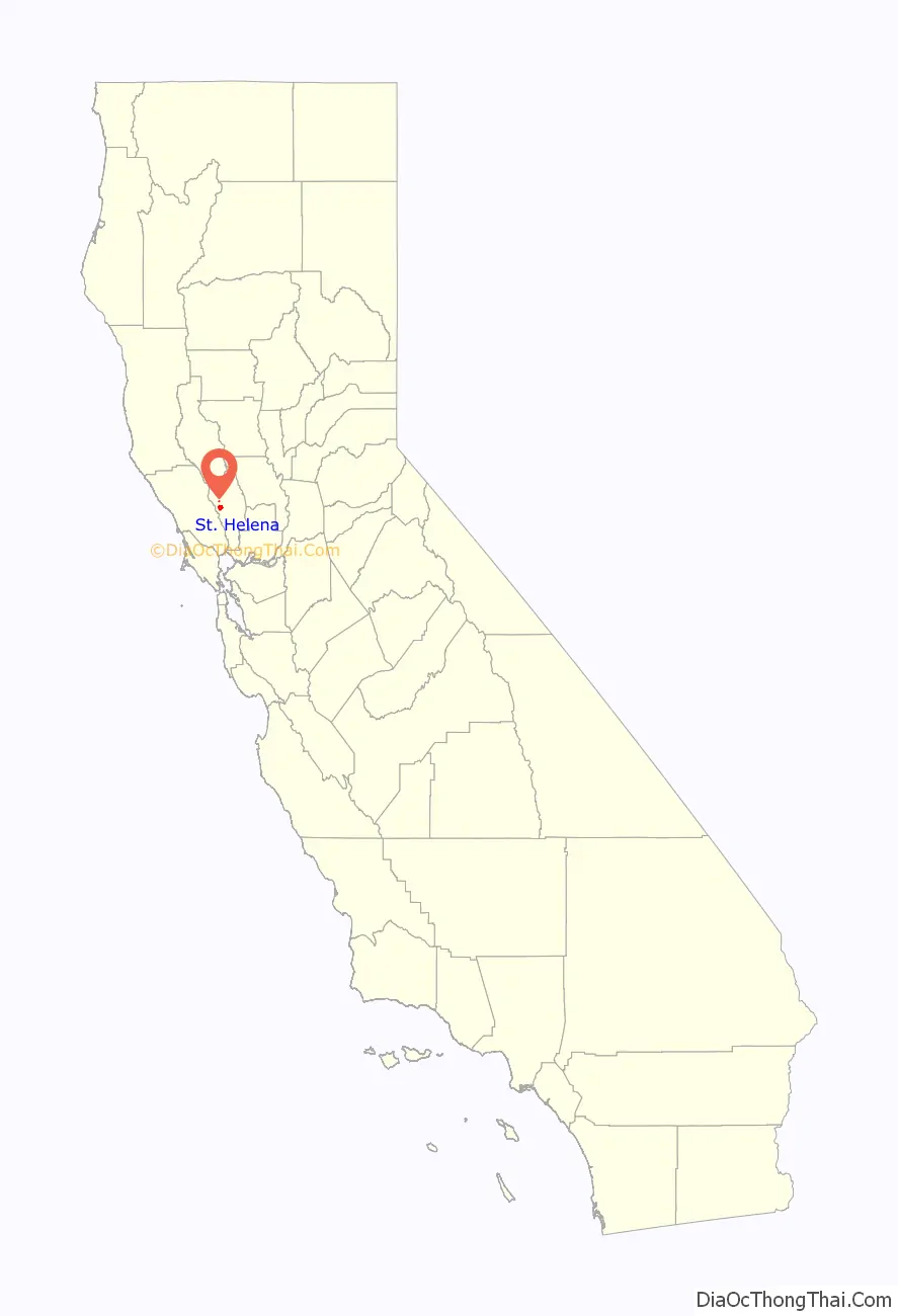
St. Helena location map. Where is St. Helena city?
History
St. Helena was first inhabited by a native American group known as the Wappo people. They spoke Yukian and are believed to have first settled in St. Helena as early as 2000 B.C. The Wappo name for the area is Anakotanoma, meaning ‘Bull Snake Village’.
The area was likely named after a nearby mountain known as Mount St. Helena.
The locale became renown when White Sulphur Springs was discovered in 1848 and established an operating resort in 1852. During the later 19th century, affluent San Franciscans traveled here by steamer across the Bay, and then four miles by stage and later by train. At its prime, California’s oldest resort was able to accommodate 1000 guests in its grand hotels which were later lost to local wildfires. The site is recognized as a National Historic Landmark.
The town of St. Helena was founded by Henry Still, who bought land from the Edward Bale family in 1855. By 1858 there was a school house and a little Baptist church. Four years later Professor William Brewer of the Whitney party called it a “pretty little village with fifty or more houses . . .nestled among grand old oaks.” It officially became a town on March 24, 1876, and by 1886 the population grew to 1,800 inhabitants. Shortly after in 1868, the first railroad was created in St. Helena allowing for shipment of resources such as fruit and mining products. The newly built train tracks also brought in tourists.
Ellen White, co-founder of the Seventh-day Adventist Church, had a home called Elmshaven near St. Helena, beginning in 1900. She died there in 1915, and the site is now a National Historic Landmark. Both the Beringer Vineyards and the Charles Krug Winery are California Historical Landmarks.
St. Helena’s community center was built as a Carnegie library; it served as the city library from 1908 to 1978.
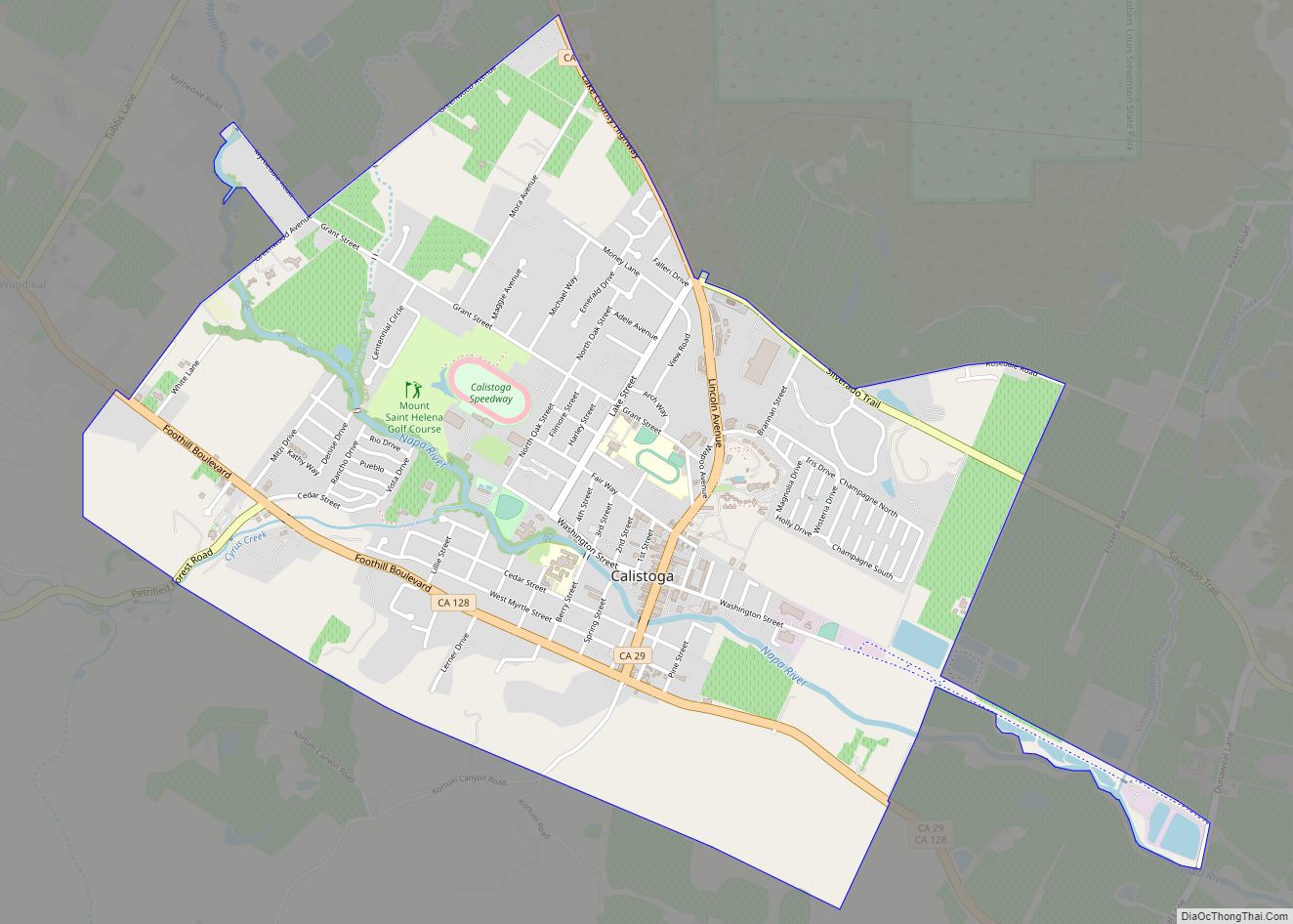
St. Helena Road Map
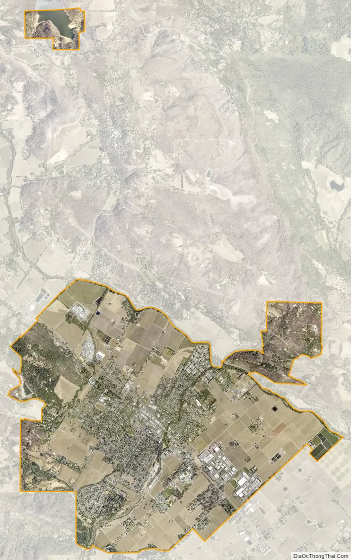
St. Helena city Satellite Map
Geography
St. Helena has a total area of 5.03 sq mi (13.0 km), of which 4.99 sq mi (12.9 km) is land and 0.11 sq mi (0.3 km) (0.81%) is water.
Climate
The National Weather Service has a cooperative weather station in St. Helena. Winters are cool and wet, while summers have hot days and cool nights with little precipitation. Average temperatures in December, the coldest month, range from 58.3 °F (14.6 °C) to 39.6 °F (4.2 °C). Average temperatures in July and August, the warmest months, range from 89 °F (32 °C) to 56 °F (13 °C). There are an average of 54.6 days with highs of 90 °F (32 °C) or higher and an average of 13.8 days with lows of 32 °F (0 °C) or lower. The record high temperature was 115 °F (46 °C) on July 13, 1972, and the record low temperature was 11 °F (−12 °C) on December 11, 1932.
Average annual precipitation is 33.97 inches (863 mm). There are an average of 68 days with measurable precipitation. The wettest year was 1983 with 75.40 inches (1,915 mm) and the driest year was 1976 with 10.41 inches (264 mm). The wettest month on record was February 1986 with 25.60 inches (650 mm). The most rainfall in 24 hours was 6.83 inches (173 mm) on January 21, 1967. Although snow rarely falls in St. Helena, there is an annual average snowfall of 0.2-inch (5.1 mm). The most snowfall in one month was 4.0 inches (100 mm), recorded in January 1974 and again in March 1976. The most snowfall in 24 hours was 4.0 inches (100 mm) on March 2, 1976.
See also
Map of California State and its subdivision:- Alameda
- Alpine
- Amador
- Butte
- Calaveras
- Colusa
- Contra Costa
- Del Norte
- El Dorado
- Fresno
- Glenn
- Humboldt
- Imperial
- Inyo
- Kern
- Kings
- Lake
- Lassen
- Los Angeles
- Madera
- Marin
- Mariposa
- Mendocino
- Merced
- Modoc
- Mono
- Monterey
- Napa
- Nevada
- Orange
- Placer
- Plumas
- Riverside
- Sacramento
- San Benito
- San Bernardino
- San Diego
- San Francisco
- San Joaquin
- San Luis Obispo
- San Mateo
- Santa Barbara
- Santa Clara
- Santa Cruz
- Shasta
- Sierra
- Siskiyou
- Solano
- Sonoma
- Stanislaus
- Sutter
- Tehama
- Trinity
- Tulare
- Tuolumne
- Ventura
- Yolo
- Yuba
- Alabama
- Alaska
- Arizona
- Arkansas
- California
- Colorado
- Connecticut
- Delaware
- District of Columbia
- Florida
- Georgia
- Hawaii
- Idaho
- Illinois
- Indiana
- Iowa
- Kansas
- Kentucky
- Louisiana
- Maine
- Maryland
- Massachusetts
- Michigan
- Minnesota
- Mississippi
- Missouri
- Montana
- Nebraska
- Nevada
- New Hampshire
- New Jersey
- New Mexico
- New York
- North Carolina
- North Dakota
- Ohio
- Oklahoma
- Oregon
- Pennsylvania
- Rhode Island
- South Carolina
- South Dakota
- Tennessee
- Texas
- Utah
- Vermont
- Virginia
- Washington
- West Virginia
- Wisconsin
- Wyoming