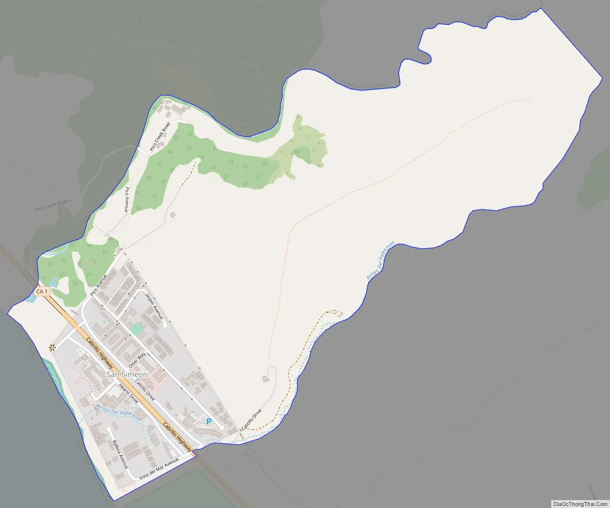
San Simeon (Spanish: San Simeón, meaning “St. Simon”) is a village and Census-designated place on the Pacific coast of San Luis Obispo County, California, United States. Its position along State Route 1 is about halfway between Los Angeles and San Francisco, each of those cities being roughly 230 miles (370 km) away. A key feature of the area is Hearst Castle, a hilltop mansion built for William Randolph Hearst in the early 20th century that is now a tourist attraction. The area is also home to a large northern elephant seal rookery, known as the Piedras Blancas rookery, located 7 miles (11 km) north of San Simeon on Highway 1. The area is also home to an invasive zebra population of slightly over 100.
| Name: | San Simeon CDP |
|---|---|
| LSAD Code: | 57 |
| LSAD Description: | CDP (suffix) |
| State: | California |
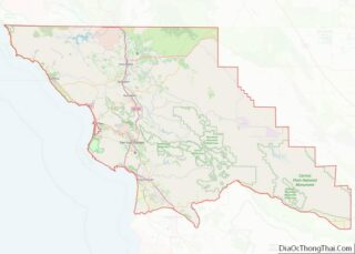
| County: | San Luis Obispo County |
| Elevation: | 230 ft (70 m) |
| Total Area: | 0.797 sq mi (2.063 km²) |
| Land Area: | 0.797 sq mi (2.063 km²) |
| Water Area: | 0 sq mi (0 km²) 0% |
| Total Population: | 445 |
| Population Density: | 560/sq mi (220/km²) |
| ZIP code: | 93452 |
| Area code: | 805 |
| FIPS code: | 0668434 |
| GNISfeature ID: | 248966 |
Online Interactive Map
Click on ![]() to view map in "full screen" mode.
to view map in "full screen" mode.
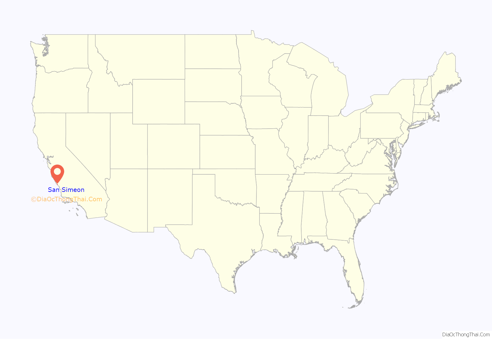
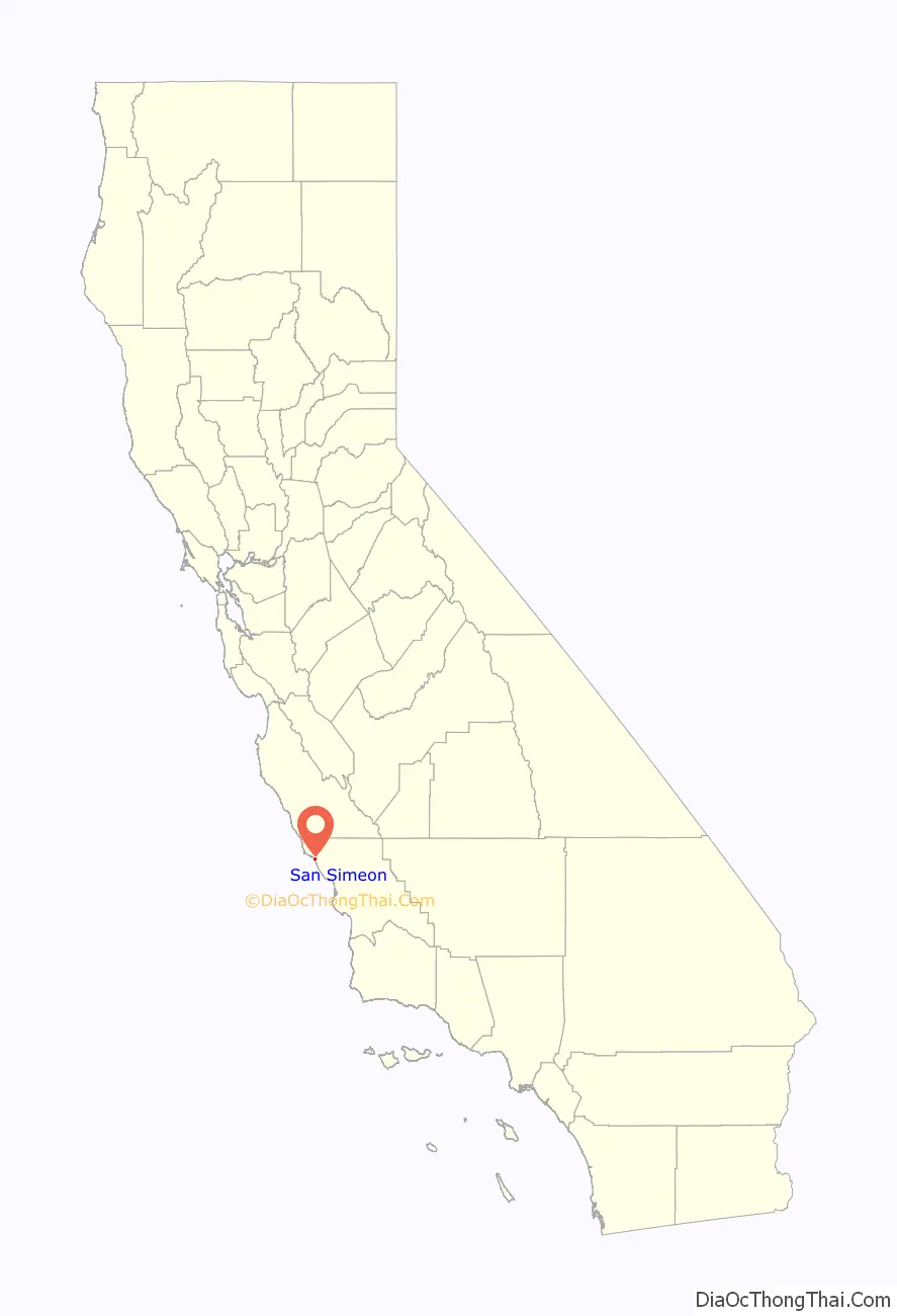
San Simeon location map. Where is San Simeon CDP?
History
Humans first settled the local area at least 11,000 years ago. Prehistorically, the local area was inhabited by the Chumash people, including a large village south of San Simeon at Morro Creek.
In 1542 the coastal exploration of Juan Cabrillo discovered the bay and named it the Bay of Sardines.
The first European land exploration of Alta California, the Spanish Portolà expedition, traveled northwest along the coast in September 1769. On September 11–12, the party passed the future location of San Simeon. At Ragged Point, which is about 15 mi (24 km) past San Simeon, the party turned inland across the Santa Lucia Range.
San Simeon was founded as an asistencia (“sub-mission”) to Mission San Miguel Arcángel, founded in 1797 and located to the east across the Santa Lucia Range. The Bay of San Simeon is mentioned in the records of San Miguel Mission for 1830. San Simeon was named for Rancho San Simeon, although the town-site is actually north of that rancho, on the former Rancho Piedra Blanca, a Mexican land grant given in 1840 to José de Jesús Pico. In 1865, Pico sold part of the rancho to George Hearst, the father of William Randolph Hearst.
The first Europeans to settle in the immediate area near the bay of San Simeon were Portuguese shore whalers under the command of Captain Joseph Clark (born Machado) from the Cape Verde Islands, around 1864. In 1869, Captain Clark built a wharf near the point for his whaling station. A small community grew near the 1869 wharf, but the waves near the wharf were too high, and the wharf was abandoned. In 1878, Hearst built a new wharf, and the small community moved near the new wharf. A general store (later Sebastian’s Store) was built near the Clark wharf, and then relocated near the 1878 wharf. Shore whaling continued on the point until the mid-1890s. It ceased for a short time, started up again in 1897, and continued until about 1908 when it ceased for good.
In 1953, the Hearst Corporation donated the William Randolph Hearst Memorial Beach, including the Hearst Pier, to San Luis Obispo County. It is currently part of Hearst San Simeon State Park. The present-day San Simeon pier was built in 1957.
San Simeon Road Map
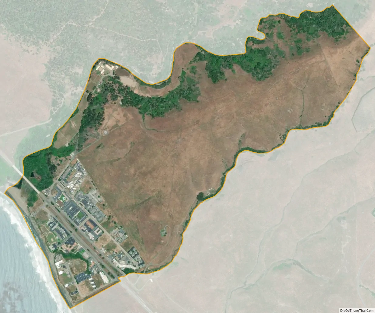
San Simeon city Satellite Map
Geography
According to the United States Census Bureau, the census-designated place covers an area of 0.8 square miles (2.1 km), all of it land. The original townsite of San Simeon is at San Simeon Bay, and was the important 19th-century shipping point with the successive wharves that were built. San Simeon Acres, about 4 mi south of the original townsite at the mouth of Pico Creek, and so about halfway between old San Simeon and Cambria, was established in the 1950s. Most of the development at San Simeon Acres was in the 1960s to the 1980s. Many motels and cafes serve visitors to Hearst Castle.
Climate
San Simeon and the Hearst Castle area has a warm-summer Mediterranean climate (Köppen csb) that is moderated by its relative proximity to the Pacific coastline.
See also
Map of California State and its subdivision:- Alameda
- Alpine
- Amador
- Butte
- Calaveras
- Colusa
- Contra Costa
- Del Norte
- El Dorado
- Fresno
- Glenn
- Humboldt
- Imperial
- Inyo
- Kern
- Kings
- Lake
- Lassen
- Los Angeles
- Madera
- Marin
- Mariposa
- Mendocino
- Merced
- Modoc
- Mono
- Monterey
- Napa
- Nevada
- Orange
- Placer
- Plumas
- Riverside
- Sacramento
- San Benito
- San Bernardino
- San Diego
- San Francisco
- San Joaquin
- San Luis Obispo
- San Mateo
- Santa Barbara
- Santa Clara
- Santa Cruz
- Shasta
- Sierra
- Siskiyou
- Solano
- Sonoma
- Stanislaus
- Sutter
- Tehama
- Trinity
- Tulare
- Tuolumne
- Ventura
- Yolo
- Yuba
- Alabama
- Alaska
- Arizona
- Arkansas
- California
- Colorado
- Connecticut
- Delaware
- District of Columbia
- Florida
- Georgia
- Hawaii
- Idaho
- Illinois
- Indiana
- Iowa
- Kansas
- Kentucky
- Louisiana
- Maine
- Maryland
- Massachusetts
- Michigan
- Minnesota
- Mississippi
- Missouri
- Montana
- Nebraska
- Nevada
- New Hampshire
- New Jersey
- New Mexico
- New York
- North Carolina
- North Dakota
- Ohio
- Oklahoma
- Oregon
- Pennsylvania
- Rhode Island
- South Carolina
- South Dakota
- Tennessee
- Texas
- Utah
- Vermont
- Virginia
- Washington
- West Virginia
- Wisconsin
- Wyoming