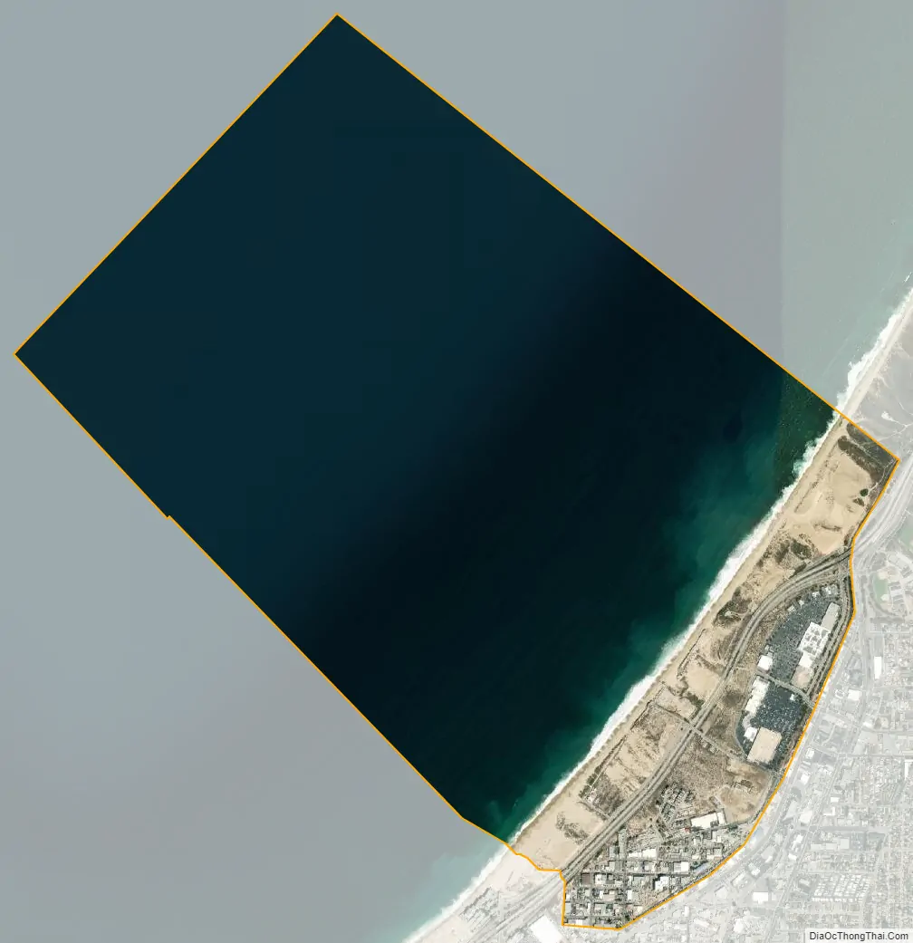
Sand City is a city in Monterey County, California, United States, located on the shores of Monterey Bay, and surrounded on most sides by the larger city of Seaside. Sand City is located 2 miles (3 km) northeast of Monterey, at an elevation of 72 feet (22 m). The population was 325 at the 2020 census. The city is predominantly a business community, and has a number of larger retail stores. The West End area of Sand City, once an industrial area, hosts a growing artists’ colony. Every August, the artists of Sand City and neighboring areas hold a street fair called the “West End Celebration”.
| Name: | Sand City city |
|---|---|
| LSAD Code: | 25 |
| LSAD Description: | city (suffix) |
| State: | California |
| County: | Monterey County |
| Incorporated: | May 31, 1960 |
| Elevation: | 72 ft (22 m) |
| Total Area: | 2.91 sq mi (7.5 km²) |
| Land Area: | 0.55 sq mi (1.4 km²) |
| Water Area: | 2.36 sq mi (6.1 km²) 81.21% |
| Total Population: | 325 |
| Population Density: | 594.15/sq mi (229.40/km²) |
| ZIP code: | 93955 |
| Area code: | 831 |
| FIPS code: | 0665112 |
| GNISfeature ID: | 1652820 |
| Website: | www.sandcity.org |
Online Interactive Map
Click on ![]() to view map in "full screen" mode.
to view map in "full screen" mode.
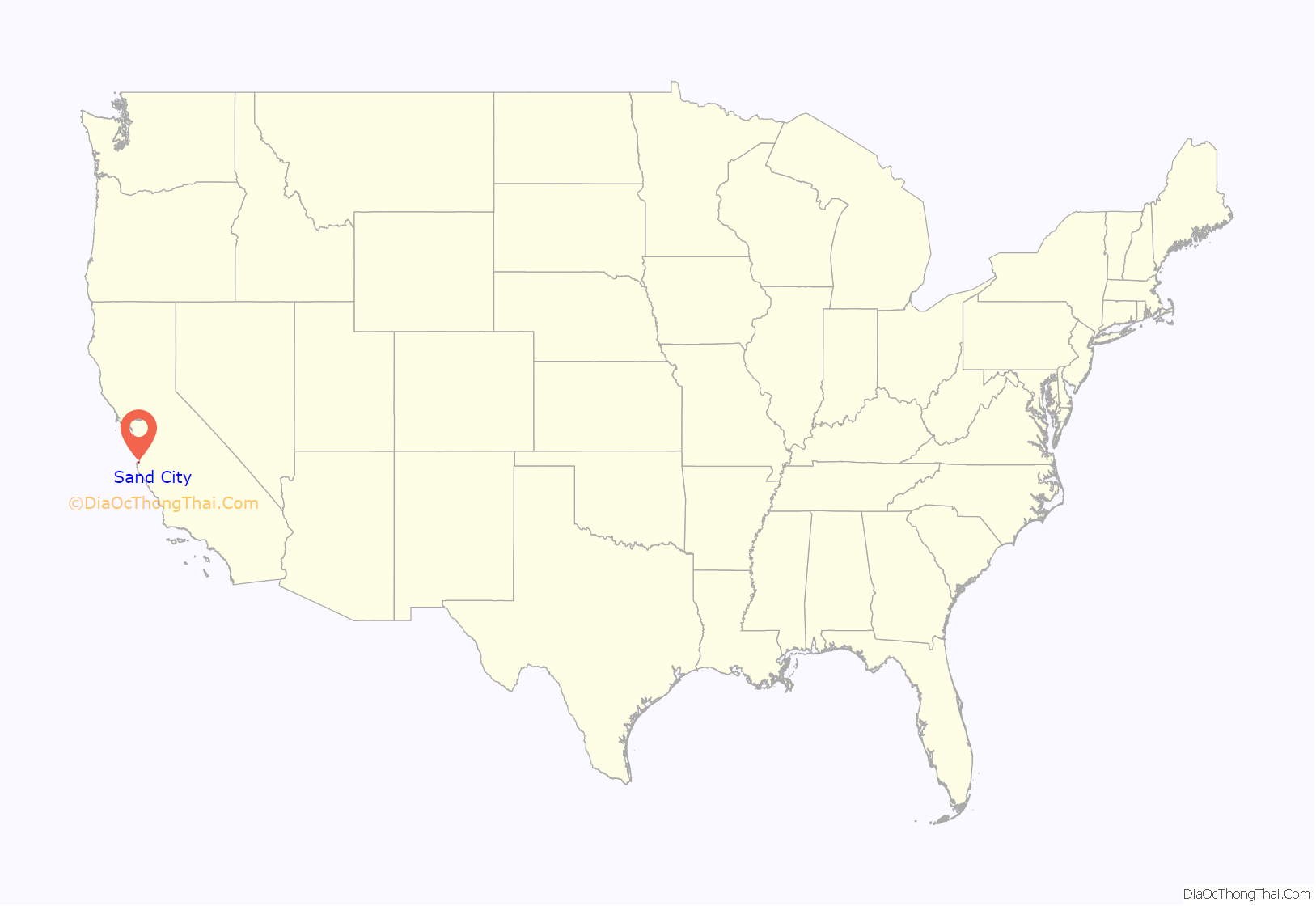
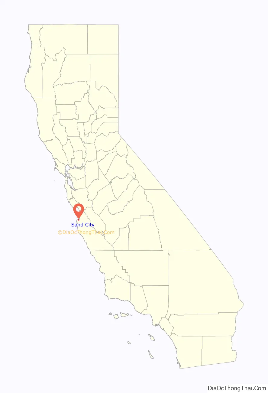
Sand City location map. Where is Sand City city?
History
Sand City incorporated in 1960. The Sand City post office opened in 1961, but has now been combined with the Seaside post office and shares Seaside’s ZIP code (93955) as well. The city is mostly industrial.
Sand City Road Map
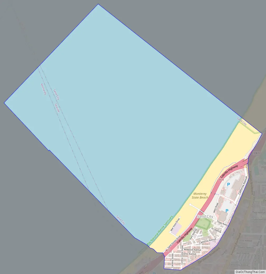
Sand City city Satellite Map
Geography
Sand City is located at 36°37′02″N 121°50′54″W / 36.61722°N 121.84833°W / 36.61722; -121.84833.
According to the United States Census Bureau, the city has a total area of 2.9 square miles (7.5 km), of which 0.5 square miles (1.3 km) are land and 2.4 square miles (6.2 km), or 81.21%, are water, where the city limits extend into Monterey Bay.
See also
Map of California State and its subdivision:- Alameda
- Alpine
- Amador
- Butte
- Calaveras
- Colusa
- Contra Costa
- Del Norte
- El Dorado
- Fresno
- Glenn
- Humboldt
- Imperial
- Inyo
- Kern
- Kings
- Lake
- Lassen
- Los Angeles
- Madera
- Marin
- Mariposa
- Mendocino
- Merced
- Modoc
- Mono
- Monterey
- Napa
- Nevada
- Orange
- Placer
- Plumas
- Riverside
- Sacramento
- San Benito
- San Bernardino
- San Diego
- San Francisco
- San Joaquin
- San Luis Obispo
- San Mateo
- Santa Barbara
- Santa Clara
- Santa Cruz
- Shasta
- Sierra
- Siskiyou
- Solano
- Sonoma
- Stanislaus
- Sutter
- Tehama
- Trinity
- Tulare
- Tuolumne
- Ventura
- Yolo
- Yuba
- Alabama
- Alaska
- Arizona
- Arkansas
- California
- Colorado
- Connecticut
- Delaware
- District of Columbia
- Florida
- Georgia
- Hawaii
- Idaho
- Illinois
- Indiana
- Iowa
- Kansas
- Kentucky
- Louisiana
- Maine
- Maryland
- Massachusetts
- Michigan
- Minnesota
- Mississippi
- Missouri
- Montana
- Nebraska
- Nevada
- New Hampshire
- New Jersey
- New Mexico
- New York
- North Carolina
- North Dakota
- Ohio
- Oklahoma
- Oregon
- Pennsylvania
- Rhode Island
- South Carolina
- South Dakota
- Tennessee
- Texas
- Utah
- Vermont
- Virginia
- Washington
- West Virginia
- Wisconsin
- Wyoming


